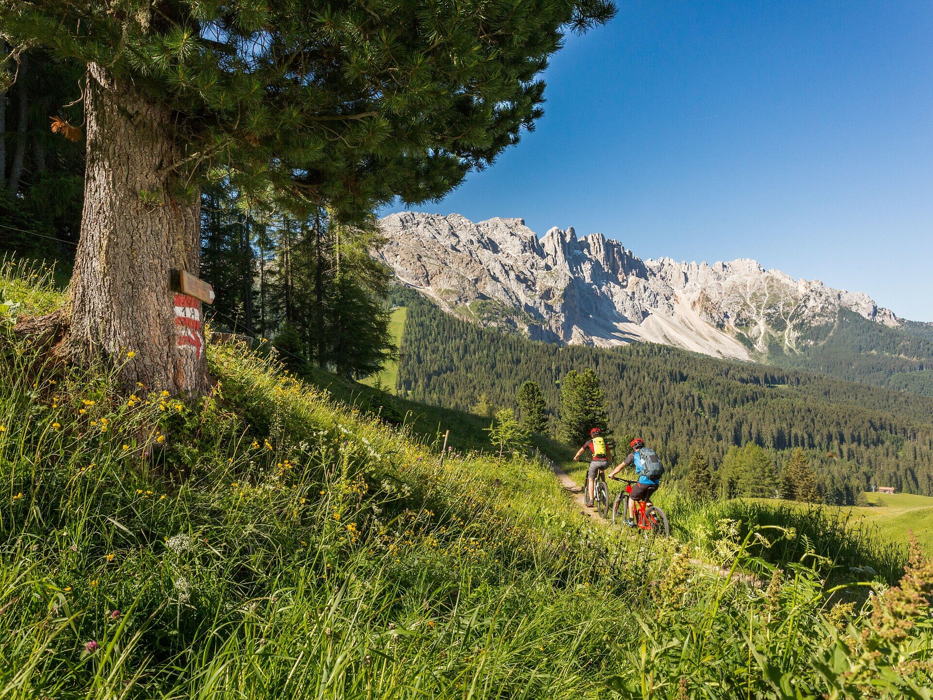
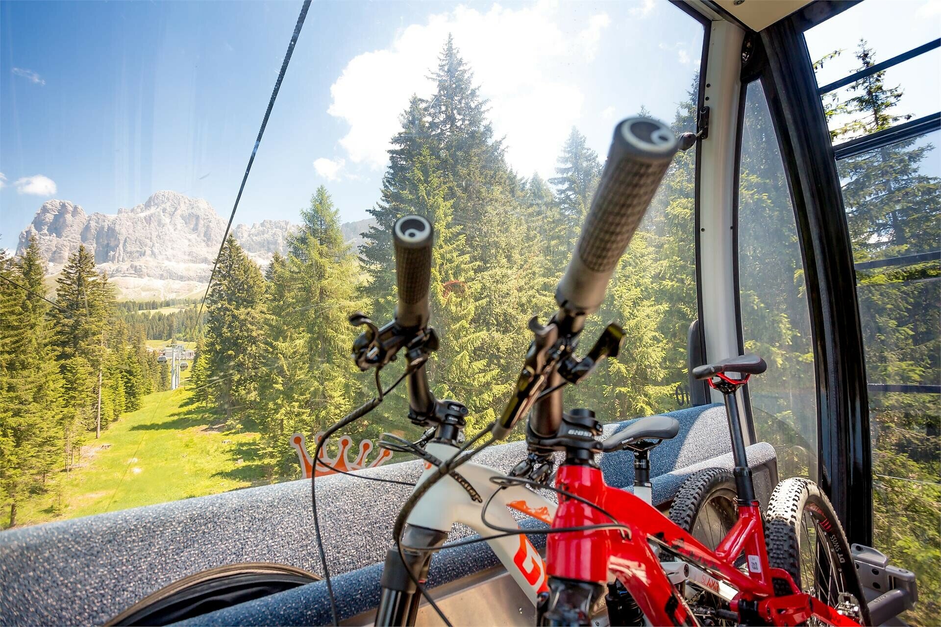
424 Schlern-Rosengarten Ronda counterclockwise

Karersee, Welschnofen
Add to favourites
Category
Difficulty
Difficult
Activity time
14:47
Duration in hours
Distance
94.7
Distance in km
Status
closed
Suggested period
Jan
Feb
Mar
Apr
May
Jun
Jul
Aug
Sep
Oct
Nov
Dec

This challenging MTB tour takes you around two majestic mountains in the South Tyrolean Dolomites: the Rosengarten | Catinaccio and the Schlern | Sciliar.

On 88 km and 2,500 metres of ascent, the full-day tour offers a breathtaking panorama of picturesque alpine meadows, dense forests and imposing, rugged rock faces as well as peaks that rise steeply into the sky.

Route info
Difficult
Distance
94,7 km
Activity time
14 h 47 min
Ascent
2.517 m
Descent
3.686 m
Physical effort
Scenary
Highest point
2.189 m
Lowest point
810 m
Directions

From Welschnofen | Nova Levante (1.882 m) the Laurin I cable car takes you to the Hut Frommer Alm (1.733 m). After crossing the street Niger, take the Carezza trail entrance and keep left towards the Karerpass | Passo Costalunga. Follow the route of the 354 Latemar Ronda on wide forest gravel paths, the national road 65 and the forest as well as meadow paths, until you reach the state road and shortly afterwards continue along the MTB route to Moena (1.148 m) in the Val di Fassa. ATTENTION: Trail [519] closed shortly before Moena; signposted detours via trail [519A]. The route now continues along the valley cycle path to Campitello (1.448 m) before following mountain bike route 908 into the Duron valley. The ascent to Mahlknechtjoch (2.204 m) is very steep, but the picturesque alpine landscape compensates. The tour continues on forest roads and the road Jochstraße across the expanses of the largest alpine pasture in South Tyrol, the Seiseralm | Alpe di Siusi, with views of the Schlern | Sciliar and its Santner peak. From Kompatsch | Compaccio (1.850 m), follow the national road 25 down to the village of Telfen. The tour leads through the village of Seis | Siusi on small secluded paths and along the national road 24 for a while. Then follow the cycle route parallel to the main road to Völs am Schlern | Fiè allo Sciliar (840 m). Via Obervöls to the lake Ums | Umes, along the foot of the mountain Tschafons, you follow the MTB Tour 255 to the „Schnaggenkreuz“ cross (1011 m) and then the national road 65 to Tiers | Tires and on to St. Zyprian | San Cipriano. From St. Zyprian | San Cipriano (1.100 m) you take Italy's first Cabrio cable car up to the Hut Frommer Alm and return to the starting point in Welschnofen | Nova Levante via the Carezza Trail.

public transportation

Getting to the starting point of the tour by public transport is easy and convenient.

By public bus line:
- 180 from Bozen | Bolzano, Val di Fassa
- 180 from Welschnofen | Nova Levante, Karer See | Lago di Carezza
- 180 from Birchabruck | Ponte Nova
- 184 and change 180 from Obereggen, Eggen | Ega
- 181 and change 180 from Weissenstein | Pietralba, Petersberg | Monte San Pietro, Deutschnofen | Nova Ponente, Stenk
- 187 from Steinegg | Collepietra, Gummer | San Valentino

Bus stop: Welschnofen | Nova Levante, cable car Welschnofen | Nova Levante Carezza; online timetable search at: https://www.suedtirolmobil.info/en/
Location: https://goo.gl/maps/ckPPKNimanKbJzRd8

How to get there

Getting to the starting point of the tour by public transport is easy and convenient.

By public bus line:
- 180 from Bozen | Bolzano, Val di Fassa
- 180 from Welschnofen | Nova Levante, Karer See | Lago di Carezza
- 180 from Birchabruck | Ponte Nova
- 184 and change 180 from Obereggen, Eggen | Ega
- 181 and change 180 from Weissenstein | Pietralba, Petersberg | Monte San Pietro, Deutschnofen | Nova Ponente, Stenk
- 187 from Steinegg | Collepietra, Gummer | San Valentino

Bus stop: Welschnofen | Nova Levante, centre + cable car Laurin I; online timetable search at: https://www.suedtirolmobil.info/en/
Location: https://goo.gl/maps/ckPPKNimanKbJzRd8

By car:
Destination: Karer Pass | passo Costalunga
Parking: Parking lot cable car Laurin I + cable car Laurin I or parking lot Frommer (a payment)
Location: https://goo.gl/maps/ckPPKNimanKbJzRd8

Where to park
Parking: Parking lot cable car Laurin I + cable car Laurin I or parking lot Frommer (a payment)
Location: https://goo.gl/maps/ckPPKNimanKbJzRd8
You might be interested in
Discover related tours
Intermediate
Add to favourites
Karersee, Welschnofen
423 Schlern-Rosengarten Ronda clockwise
Distance 79,8 km
Activity time 11 h 17 min
Ascent 2.863 m
Descent 2.863 m
Welschnofen
360 Link to Hagner Alm hut
Distance 1,4 km
Activity time 07 min
Ascent 11 m
Descent 23 m
Status
closed
Welschnofen, Karersee
359 King Laurin Trail Tour
Distance 29,3 km
Activity time 5 h 24 min
Ascent 1.368 m
Descent 1.368 m
Status
closed
Intermediate
Add to favourites
Welschnofen
201 Carezza Trail
Distance 4,5 km
Activity time 14 min
Ascent 0 m
Descent 562 m
Status
closed
Intermediate
Add to favourites
Welschnofen
357 Pumpline and Carezza Trail
Distance 5,1 km
Activity time 18 min
Ascent 5 m
Descent 562 m
Status
closed
Intermediate
Add to favourites
Obereggen, Karersee, Deutschnofen, Welschnofen
354 Latemar Ronda
Distance 44,3 km
Activity time 8 h 04 min
Ascent 2.147 m
Descent 2.147 m
Status
closed