Top

Cinéma de montagne de l'Eggental – Waltherplatz

Welschnofen
Add to favourites
Difficulty
Easy
Activity time
1:02
Duration in hours
Distance
2
Distance in km
Status
open
WSEN
Categories
  • Hiking trail
Tags
  • Linear route
  • Family-friendly
Suggested period
Jan
Feb
Mar
Apr
May
Jun
Jul
Aug
Sep
Oct
Nov
Dec
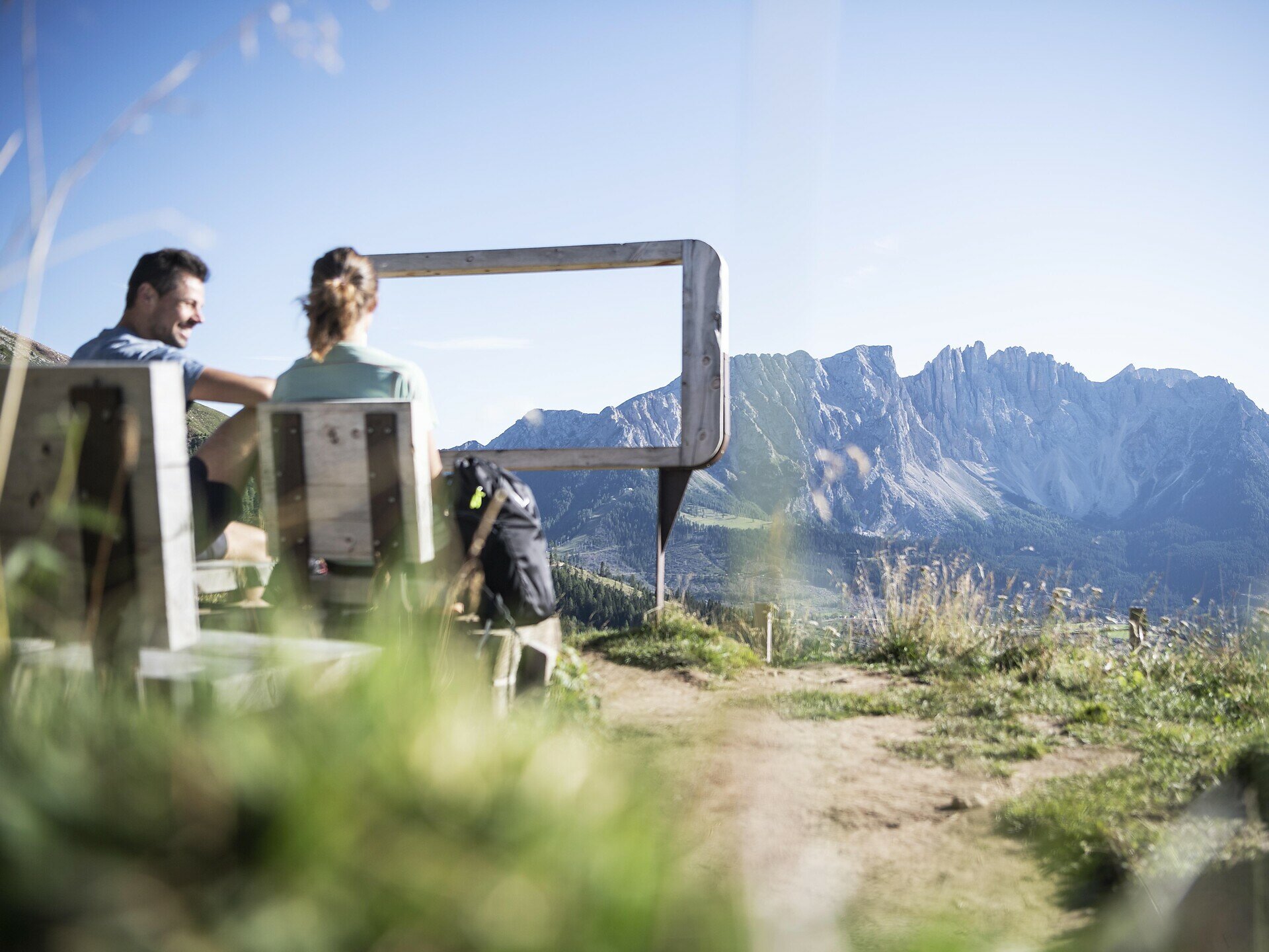
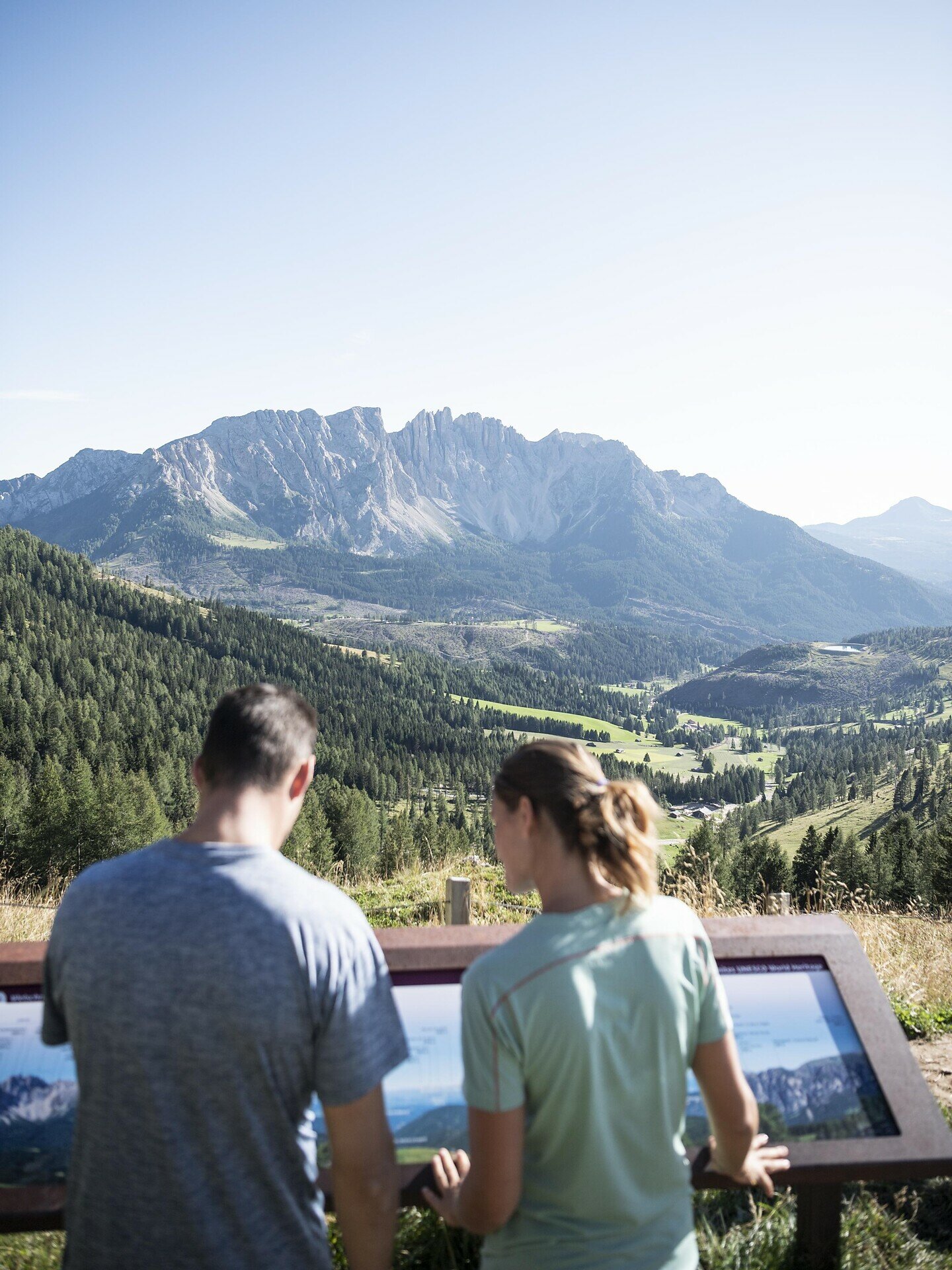
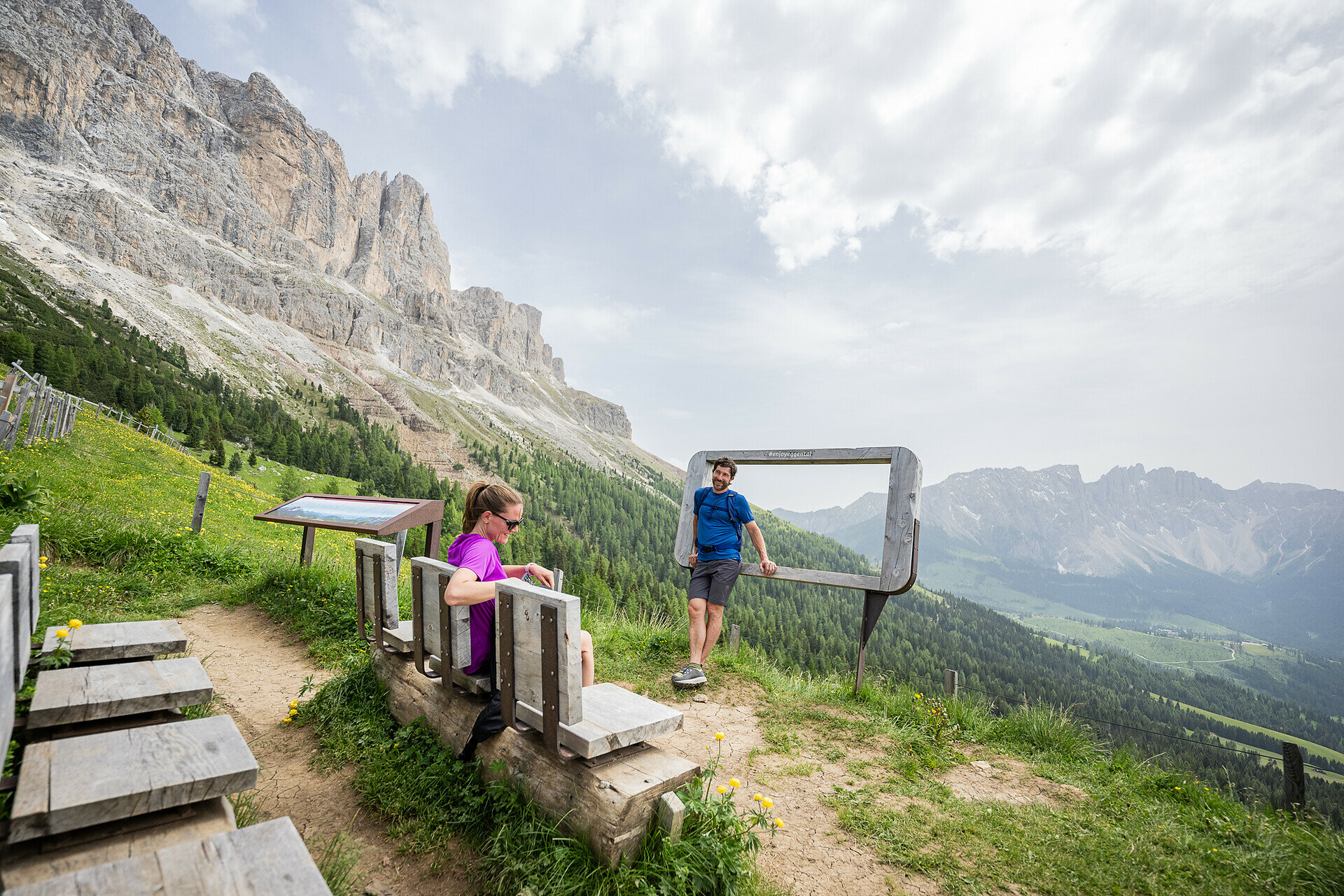
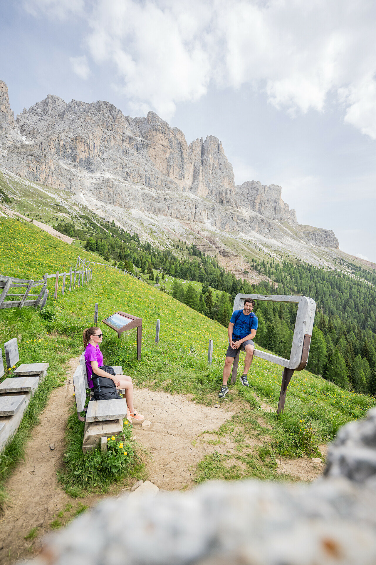
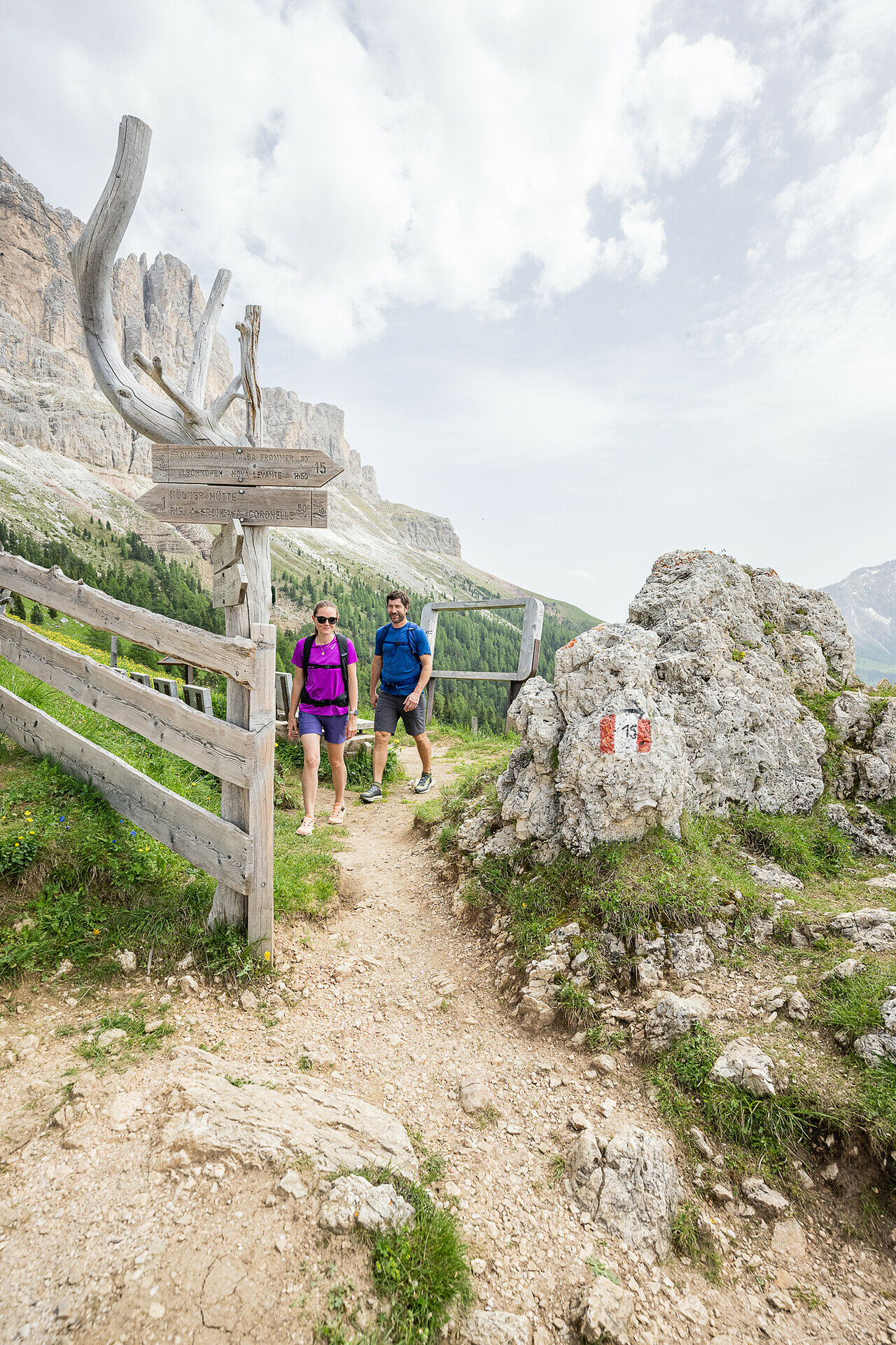
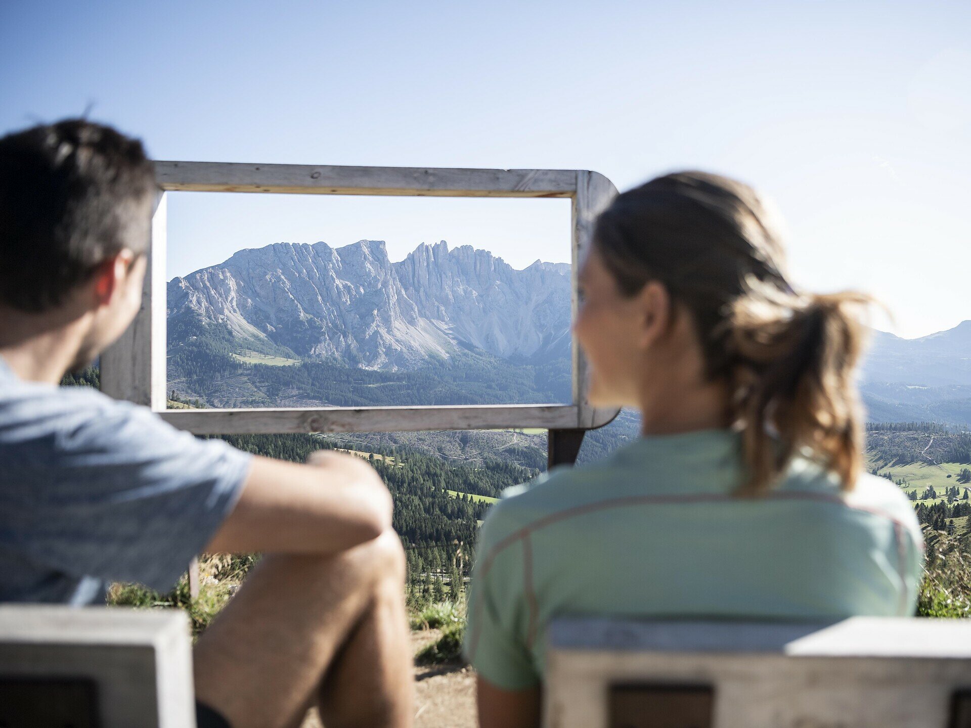
Hike to the Waltherplatz mountain cinema with stunning views of the Rosengarten, Latemar, Ortler and more. The partly steep trail is richly rewarded with breathtaking panoramas.

On beautiful forest and alpine trails, you reach the Waltherplatz | Piazza Walther mountain cinema at the foot of the Rosengarten | Catinaccio. Surrounded by idyllic alpine meadows, you can enjoy the phenomenal view of countless mountain peaks such as Latemar, Schwarzhorn | Corno Nero, Weißhorn | Corno Bianco, Ortler | Ortles, the Stubai and Zillertal Alps (Austria), Tschafon | Monte Ciavone and Schlern | Sciliar, which more than make up for the partly steep ascent.

Gallery
Categories
  • Hiking trail
Tags
  • Linear route
  • Family-friendly
Route info
Easy
Distance
2,0 km
Activity time
1 h 02 min
Ascent
314 m
Descent
1 m
Physical effort
Scenary
Highest point
2.060 m
Lowest point
1.739 m
Suggestions
Refreshment stop: Frommer Alm hut - Opening hours and closing day: https://eggental.com/en/info/restaurant-frommeralm_5125
You might be interested in
Discover related tours
Intermediate
Add to favourites
Deutschnofen
Randonnée de Deutschnofen au sanctuaire de Maria Weißenstein
Distance 12,3 km
Activity time 3 h 50 min
Ascent 475 m
Descent 475 m
Status
open
Intermediate
Add to favourites
Deutschnofen
Randonnée sur le Samberg
Distance 12,2 km
Activity time 3 h 59 min
Ascent 469 m
Descent 469 m
Status
open
Deutschnofen
Randonnée en famille jusqu'à la petite église Sainte-Hélène
Distance 6,9 km
Activity time 1 h 45 min
Ascent 112 m
Descent 112 m
Status
open
Karersee, Welschnofen
Circuit de randonnée autour du lac de Carezza, entre le Rosengarten et le Latemar
Distance 15,1 km
Activity time 4 h 15 min
Ascent 440 m
Descent 439 m
Status
open
Steinegg, Welschnofen
Chemin de Taufen
Distance 8,5 km
Activity time 3 h 00 min
Ascent 456 m
Descent 456 m
Status
open
Deutschnofen
Randonnée Weissenstein – Neuhütt – Auerleger
Distance 17,4 km
Activity time 5 h 15 min
Ascent 596 m
Descent 571 m
Status
open
© Gabriel Eisath
Neu
Der offizielle WhatsApp-Kanal von Eggental Tourismus!
Abonniere unseren Kanal

Verpasse keine Neuigkeiten mehr! Folge unserem neuen WhatsApp-Kanal und erhalte aktuelle News, Veranstaltungstipps und besondere Highlights aus dem Eggental direkt auf dein Handy.

Wir freuen uns auf dich!