Top

Circuit de randonnée de Steinegg à l'auberge Wiedenhof

Steinegg
Add to favourites
Difficulty
Intermediate
Activity time
3:30
Duration in hours
Distance
9.8
Distance in km
Status
open
Categories
  • Hiking trail
Tags
  • Dog-friendly
  • Insider tip
  • Round trip
  • Refreshment stops available
  • Flora
Suggested period
Jan
Feb
Mar
Apr
May
Jun
Jul
Aug
Sep
Oct
Nov
Dec
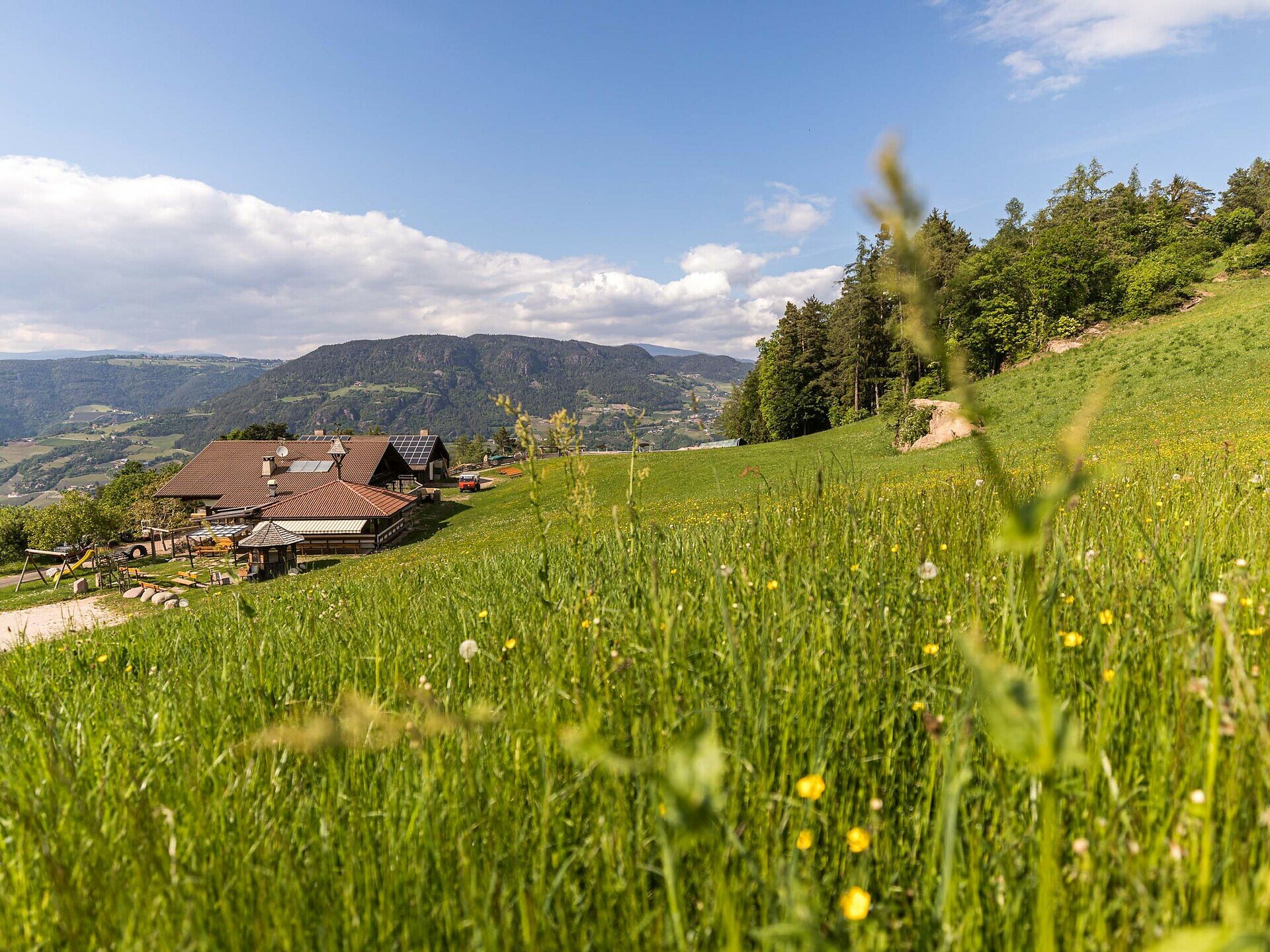
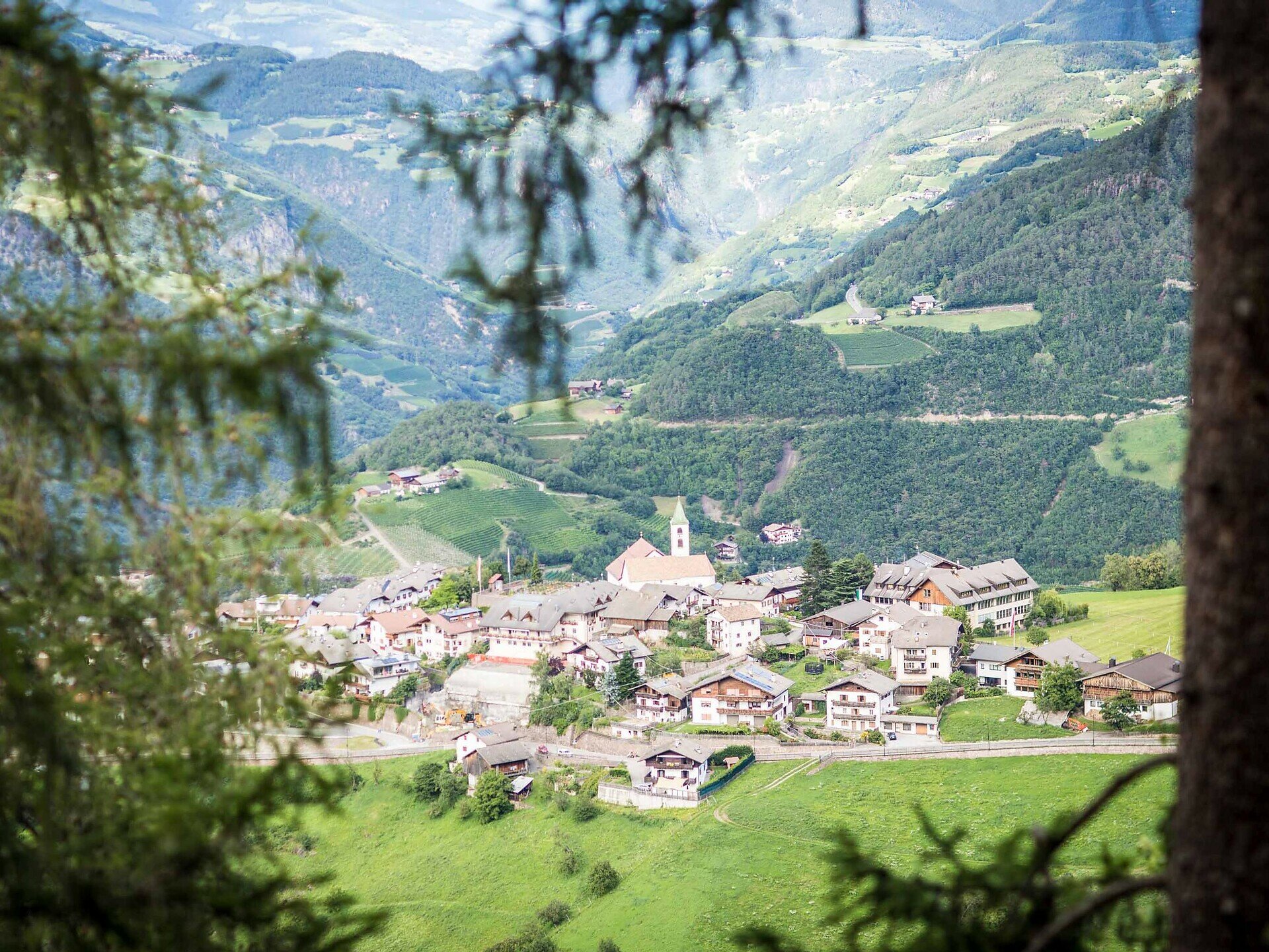
Scenic circular hike in Steinegg with great views, the “Ölgartner Bild” shrine, and a family-friendly stop at the Wiedenhof farm inn.

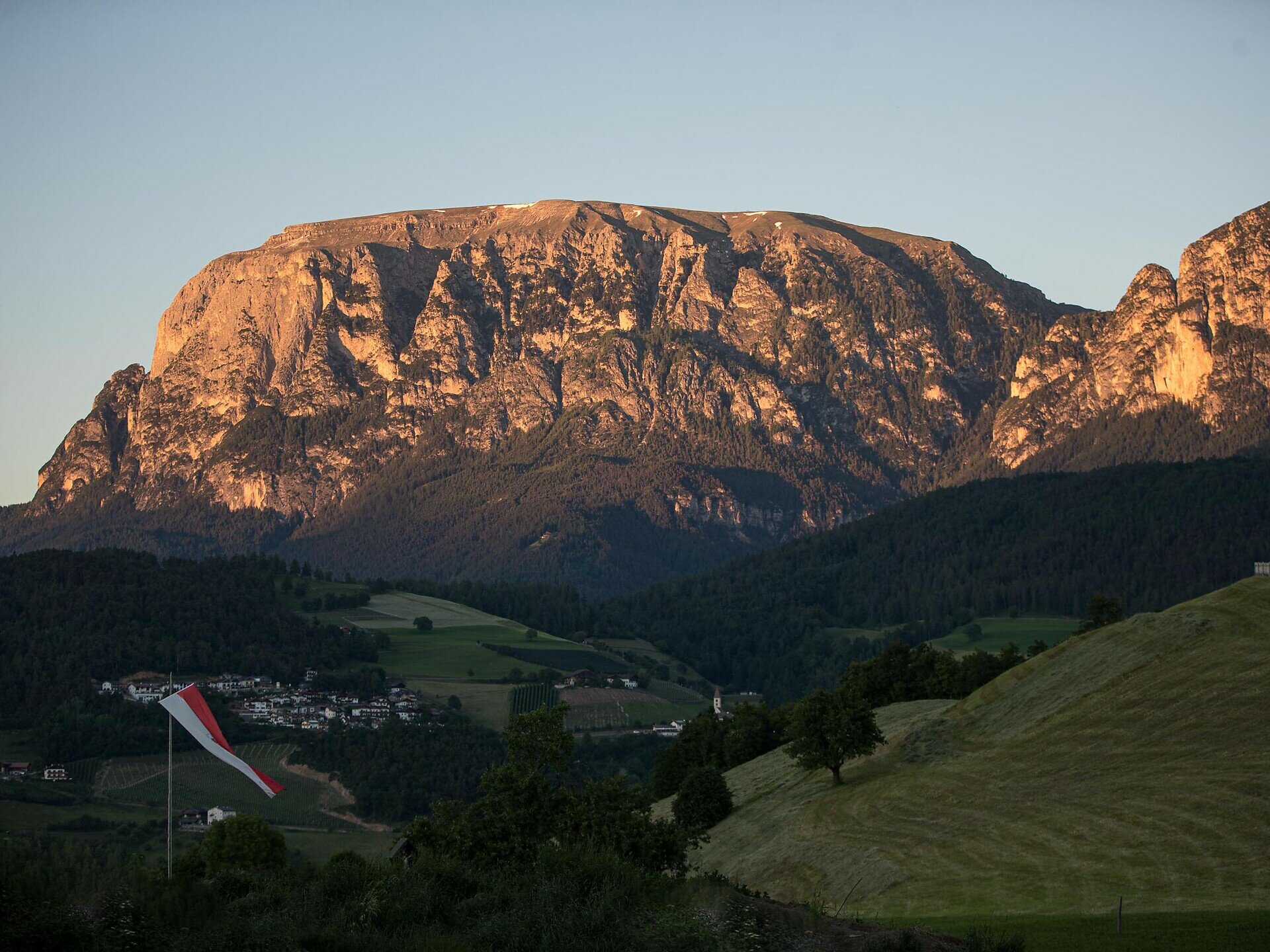
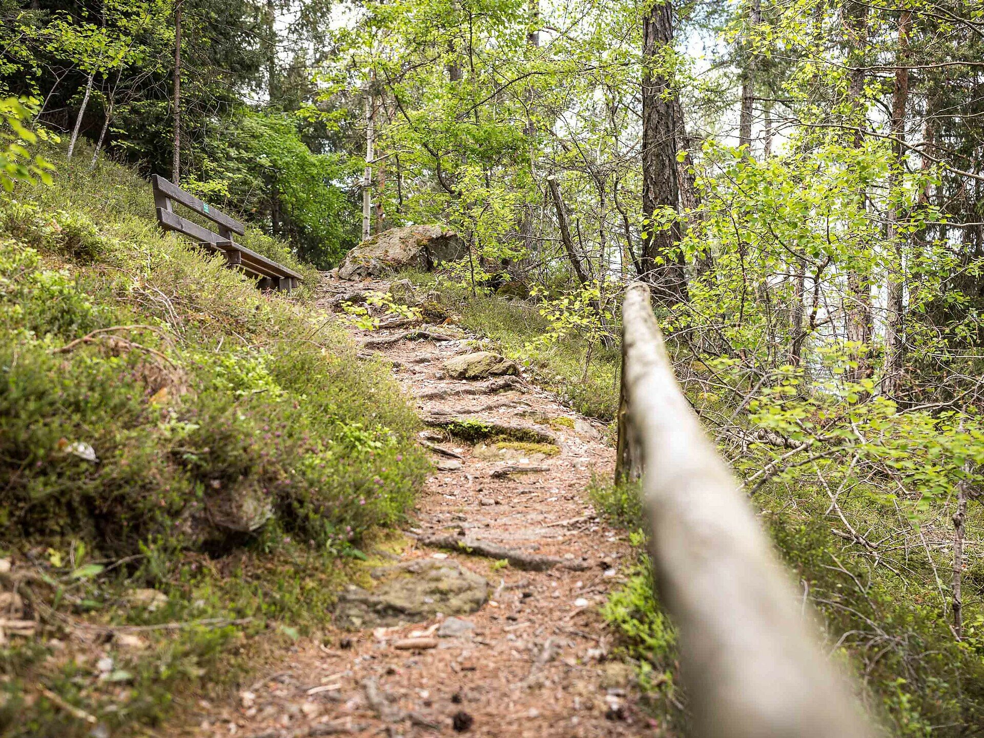
Start right in the charming village of Steinegg and follow a beautiful – and at times moderately challenging – circular trail through forests, meadows and scenic viewpoints. The route covers 9.7 km and around 525 metres of elevation, leading you to romantic spots like the Spitzköfele, where breathtaking views of the Sciliar and Rosengarten await.

Along the way, you'll come across the lovingly restored wayside shrine “Ölgartner Bild” and finally arrive at the cosy Wiedenhof farm inn. A play area for kids and a petting zoo make it perfect for families – and a delicious break with regional delicacies is guaranteed.

The loop back to Steinegg is easy to manage – and the starting point is well connected by public transport or reachable directly from the village centre.
Gallery
Categories
  • Hiking trail
Tags
  • Dog-friendly
  • Insider tip
  • Round trip
  • Refreshment stops available
  • Flora
Route info
Intermediate
Distance
9,8 km
Activity time
3 h 30 min
Ascent
490 m
Descent
491 m
Physical effort
Scenary
Highest point
1.188 m
Lowest point
803 m
You might be interested in
Discover related tours
Intermediate
Add to favourites
Steinegg
Sur le Rittersteig, de Steinegg à Kardaun
Distance 7,8 km
Activity time 2 h 45 min
Ascent 192 m
Descent 729 m
Status
open
Welschnofen
Cinéma de montagne de l'Eggental – Waltherplatz
Distance 2,0 km
Activity time 1 h 02 min
Ascent 314 m
Descent 1 m
Status
open
Karersee
Randonnée en famille du refuge Paolina aux refuges Rotwand et Pederiva
Distance 3,9 km
Activity time 1 h 13 min
Ascent 208 m
Descent 208 m
Status
open
Welschnofen
Circuit de randonnée du lac de Karer à l'alpage de la Franzin
Distance 7,2 km
Activity time 2 h 02 min
Ascent 242 m
Descent 252 m
Status
open
Obereggen, Deutschnofen
Randonnée d'Obereggen à Lavazè
Distance 15,2 km
Activity time 4 h 55 min
Ascent 627 m
Descent 627 m
Status
open
Welschnofen
Randonnée en boucle jusqu’à l’auberge Jocherhof, au-dessus de Welschnofen
Distance 6,4 km
Activity time 2 h 20 min
Ascent 401 m
Descent 407 m
Status
open
© Gabriel Eisath
Neu
Der offizielle WhatsApp-Kanal von Eggental Tourismus!
Abonniere unseren Kanal

Verpasse keine Neuigkeiten mehr! Folge unserem neuen WhatsApp-Kanal und erhalte aktuelle News, Veranstaltungstipps und besondere Highlights aus dem Eggental direkt auf dein Handy.

Wir freuen uns auf dich!