Top

Frin - Kaiserstein Tour

Welschnofen
Add to favourites
Difficulty
Easy
Activity time
3:30
Duration in hours
Distance
17.2
Distance in km
Suggested period
Jan
Feb
Mar
Apr
May
Jun
Jul
Aug
Sep
Oct
Nov
Dec
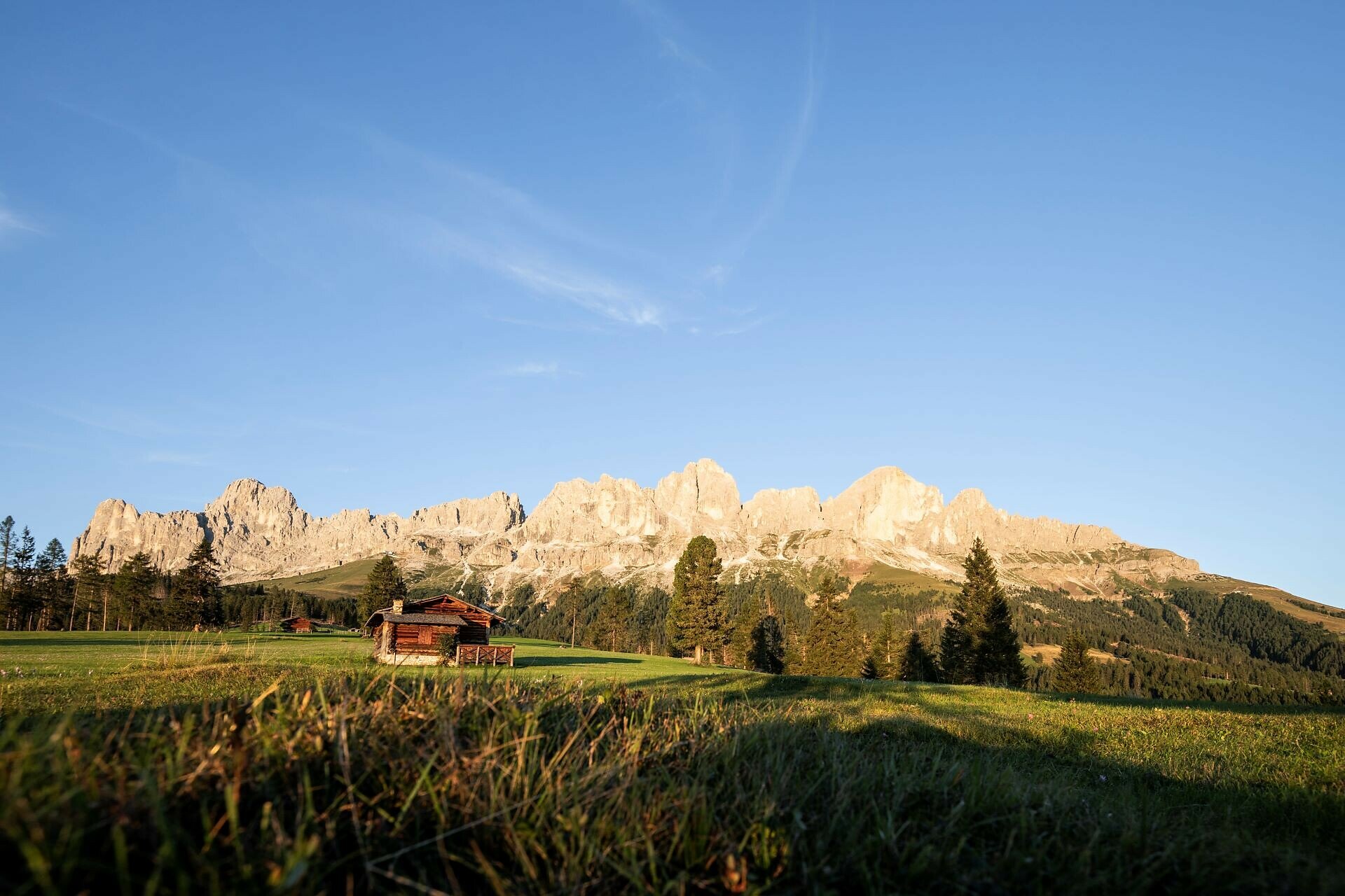
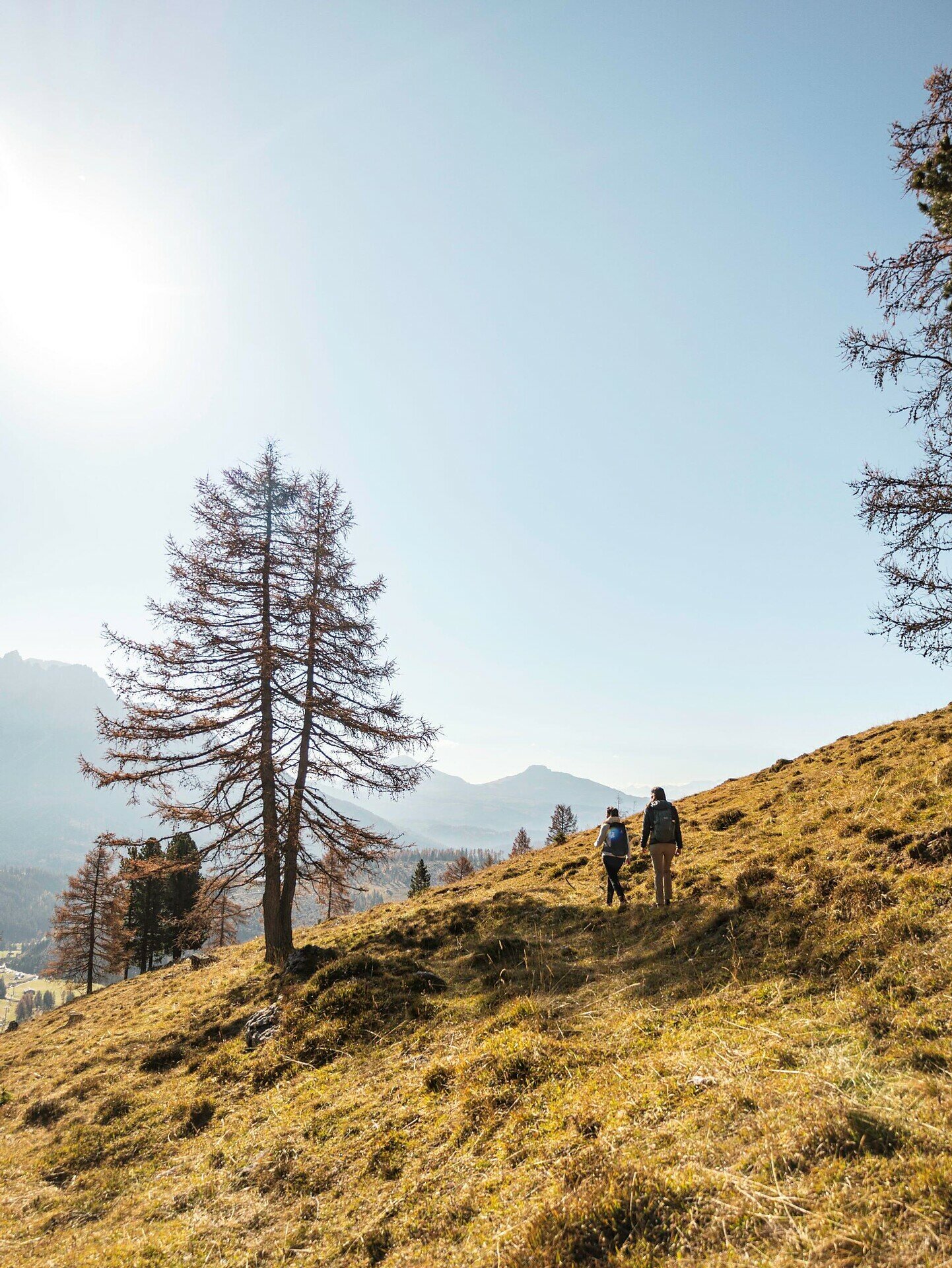
Varied circular hike from Frommer Alm hut to the two viewpoints Kaiserstein and Frin meadows.

This varied circular hike in the village of Karersee | Carezza runs beneath the majestic Rosengarten | Catinaccio and offers a mix of forest roads, gentle woodland trails, and alpine meadows. A special highlight of the tour is the "Kaiserstein" - a unique viewpoint offering stunning views of the striking peak Rotwand | Roda di Vael. Equally rewarding are the Frin meadows, beautifully nestled in an impressive 360° mountain panorama.

ds_event.sidebar.tags
  • Family-friendly
Route info
Easy
Distance
17,2 km
Activity time
3 h 30 min
Ascent
329 m
Descent
329 m
Physical effort
Scenary
Highest point
1.826 m
Lowest point
1.181 m
Suggestions
The hike starts at the mountain station of the cable car Welschnofen | Nova Levante near the Frommer Alm hut. Follow path [1A] (above the Nigerstraße | Via Nigra) until you reach the Ochsenhütte hut. The return is via the same path.

Refreshment stops:

You might be interested in
Discover related tours
Intermediate
Add to favourites
Steinegg
Circular hike on the Rittersteig trail from Steinegg|Collepietra to Wiedenhof
Distance 10,4 km
Activity time 3 h 45 min
Ascent 604 m
Descent 601 m
Intermediate
Add to favourites
Deutschnofen
Hike to the Rotwand-Rotstein
Distance 8,0 km
Activity time 2 h 30 min
Ascent 324 m
Descent 157 m
Deutschnofen
Hike from Passo Oclini at the top of the Corno Bianco
Distance 1,5 km
Activity time 1 h 00 min
Ascent 306 m
Descent 13 m
Deutschnofen
Hike from Nova Ponente to the Maria Weißenstein Monastery
Distance 11,8 km
Activity time 3 h 50 min
Ascent 475 m
Descent 475 m
Deutschnofen
Randonnée au Weißhorn
Distance 17,7 km
Activity time 6 h 00 min
Ascent 834 m
Descent 835 m
Deutschnofen
LATEMAR.ADVENTURE: Vaia’s Wrath
Distance 2,5 km
Activity time 2 h 00 min
Ascent 177 m
Descent 39 m