Hike & Bike | From Passo Costalunga to Obereggen

Karersee, Deutschnofen, Welschnofen
Add to favourites
Difficulty
Intermediate
Activity time
4:35
Duration in hours
Distance
18.8
Distance in km
Status
closed
Suggested period
Jan
Feb
Mar
Apr
May
Jun
Jul
Aug
Sep
Oct
Nov
Dec

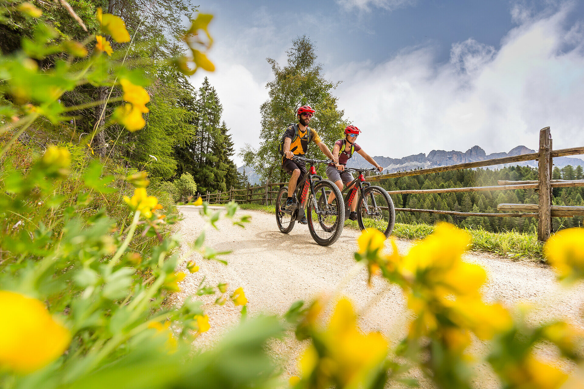
Hike & Bike Eggental – You can't decide whether you'd rather explore the Eggental on foot or by bike? Then it's best to do both! The Eggental E-Bike Sharing in combination with our countless hiking routes make it possible.

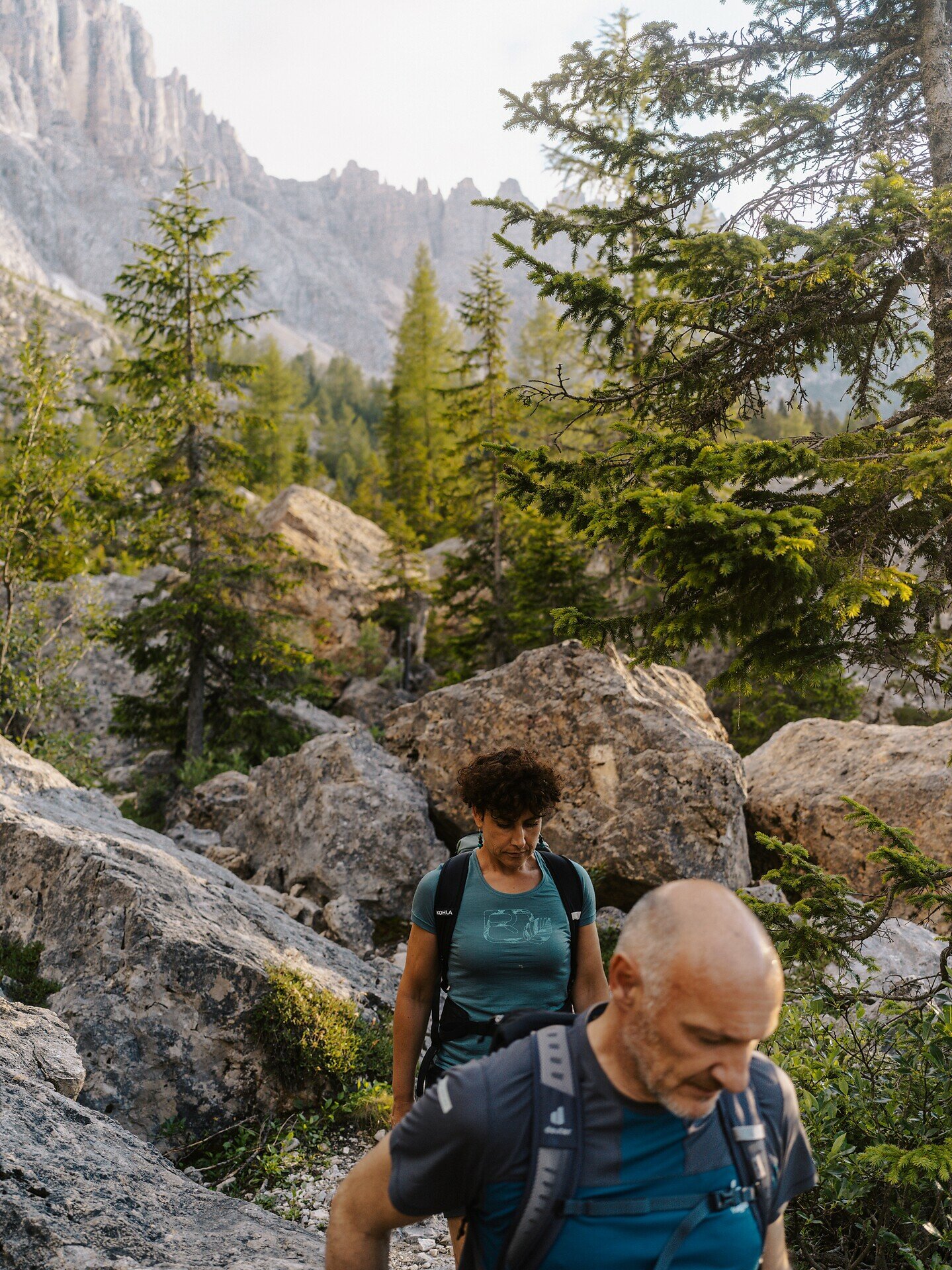
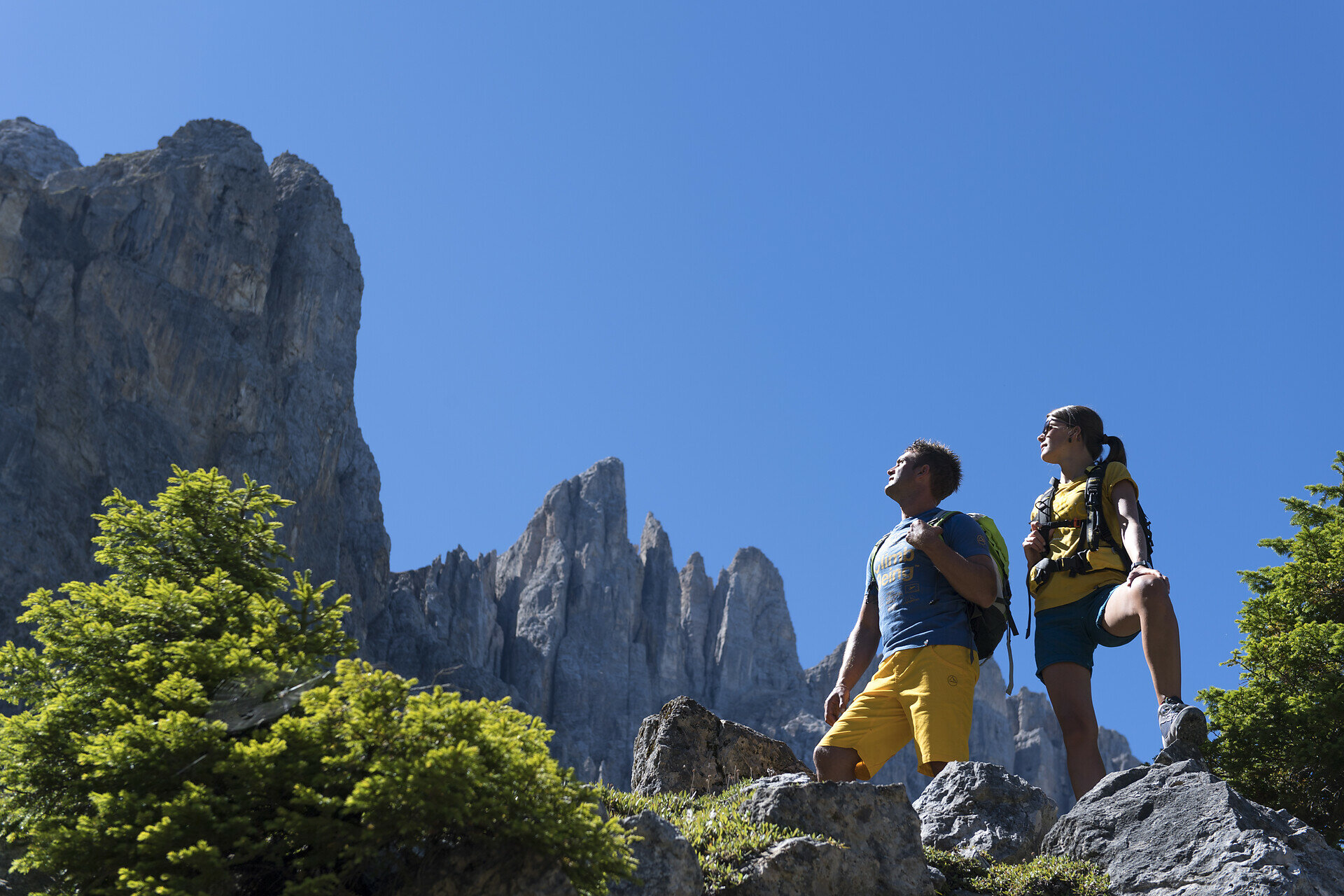
With the bus we reach Passo Costaluga where we take the path to a mysterious rock labyrinth which a huge landslide from the Latemar a long time ago has formed at the foot of the Latemar.where we follow the signposts no. 21 and 17, stretching underneath the Latemar. First we walk along a broad forested trail, until we reach the first signpost "Labyrinth". Immediately the forest ends and the mighty Latemar towers into the sky in front of our eyes.
Route info
Intermediate
Distance
18,8 km
Activity time
4 h 35 min
Ascent
606 m
Descent
1.201 m
Physical effort
Scenary
Highest point
1.925 m
Lowest point
1.097 m
Directions
We take the bus n. 184 to the Passo Costalunga where we start our adventure by foot following the trail  n. 21 to the mysterious rock labyrinth of the Latemar.  The labyrinth is a lunarscape consisting of coarse gravel and rocks. Its an exciting path for the whole family. We continue across the the forest to Obereggen 1574 m.

10,6 km | 3 h 30 min | Uphill: 444m | Downhill: 647m

At Obereggen 1556m we rent the e-Bike at Siegfrieds rental and we go:
a) to Nova Levante following the path n. 354 and 356
8km | 50min | Uphill: 175 m | Downhill: 593 m

b) to Nova Ponente 1239m following the path n. 8
12km | 1h30 | Uphill: 275m | Downhill: 481m

c) to Nova Levante following the path n. 354 and 356
8km | 50min | Uphill: 175 m | Downhill: 593 m
You might be interested in
Discover related tours
Deutschnofen
Family-hike on the panoramic trail
Distance 9,7 km
Activity time 2 h 36 min
Ascent 98 m
Descent 98 m
Karersee, Welschnofen
Hike to the Christomannos Monument via the Hirzelsteig Trail
Distance 8,6 km
Activity time 2 h 38 min
Ascent 399 m
Descent 399 m
Status
closed
Karersee, Welschnofen
Hike to the Masarè Hütte Hut and the Kaiserstein viewpoint
Distance 12,6 km
Activity time 3 h 00 min
Ascent 739 m
Descent 738 m
Status
closed
Welschnofen
From the Frommer Alm to the Lake Carezza
Distance 5,6 km
Activity time 1 h 31 min
Ascent 70 m
Descent 275 m
Deutschnofen
LATEMAR.360°
Distance 1,0 km
Activity time 30 min
Ascent 96 m
Descent 97 m
Status
closed
Welschnofen
Short round at Lake Carezza
Distance 1,3 km
Activity time 20 min
Ascent 21 m
Descent 20 m