Hike & Bike | De Welschnofen au refuge Latemar Pisa
Hike & Bike Eggental – You can't decide whether you'd rather explore the Eggental on foot or by bike? Then it's best to do both! The Eggental E-Bike Sharing in combination with our countless hiking routes make it possible.
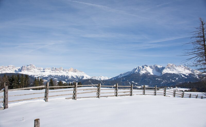
From Welschnofen | Nova Levante, the trail leads below the imposing Rosengarten | Catinaccio to the Latemar, also known as the shape-shifter. The pale mountain shows itself in different shapes depending on the location, and the destination of this hike is the only managed refuge hut in the middle of this quiet rocky scenery. The hut is also called the "Torre di Pisa hut" because of a striking, sloping pinnacle about 20 m high, reminiscent of the leaning tower of Pisa.
- Linear route
In Welschnofen | Nova Levante (1161 m) you can rent an e-bike and start the tour by mtb. First the route leads 2.5 km along the state road 241, then it climbs moderately through the woods to Eggen | Ega (1128 m) and through the village of „Städtl“ and along the SP 76 to Obereggen (1551 m), where the bike is returned.
12,1 km | 1:00 h | Uphill: 690 m | Downhill: 310 m
The chairlift Oberholz takes you comfortably to the Oberholz hut (2080 m), which stands out with its striking 3 large windows. From there the mountain hike begins via the mountain trail [18], which leads through rocky terrain to the Gamsstallscharte (2630 m). Via trail [516] you finally reach the Latemar Hut, also called Pisahütte (2671 m). For the descent, follow trail [516] to the Feudo Pass and then trail [22] to the Oberholz mountain station.
8 km | 4:00 h | Uphill: 716 m | Downhill: 716 m
After the descent, take the chairlift back to Obereggen, and then you can take the direct bus line 184 back to Welschnofen.
Getting to the starting point of the tour by public transport is easy and convenient.
By public bus line:
- 180 from Bozen | Bolzano, Birchabruck | Ponte Nova
- 180 or 184 from Karersee | Carezza, Karerpass | Passo Costalunga
- 184 from Weissenstein | Pietralba, Petersberg | Monte San Pietro, Deutschnofen | Nova Ponente, Stenk (or 181 and change 180)
- 184 from Obereggen, Eggen | Ega (or 184 and change 180)
- 187 from Steinegg | Collepietra, Gummer | San Valentino (or 182 and change 180)
- 180 from Val di Fassa
Bus stop: Welschnofen | Nova Levante centre (Despar); online timetable search at www.suedtirolmobil.info/en/
By car:
Destination: Welschnofen | Nova Levante
Parking: Parking lot cable car
Parking: parking lot cable car Welschnofen | Nova Levante Laurin I, https://maps.app.goo.gl/sArFu4rWe1AirKsZ7


