
Difficulty
IntermediateActivity time
2:29
Duration in hours
Distance
8.7
Distance in km
Status
open
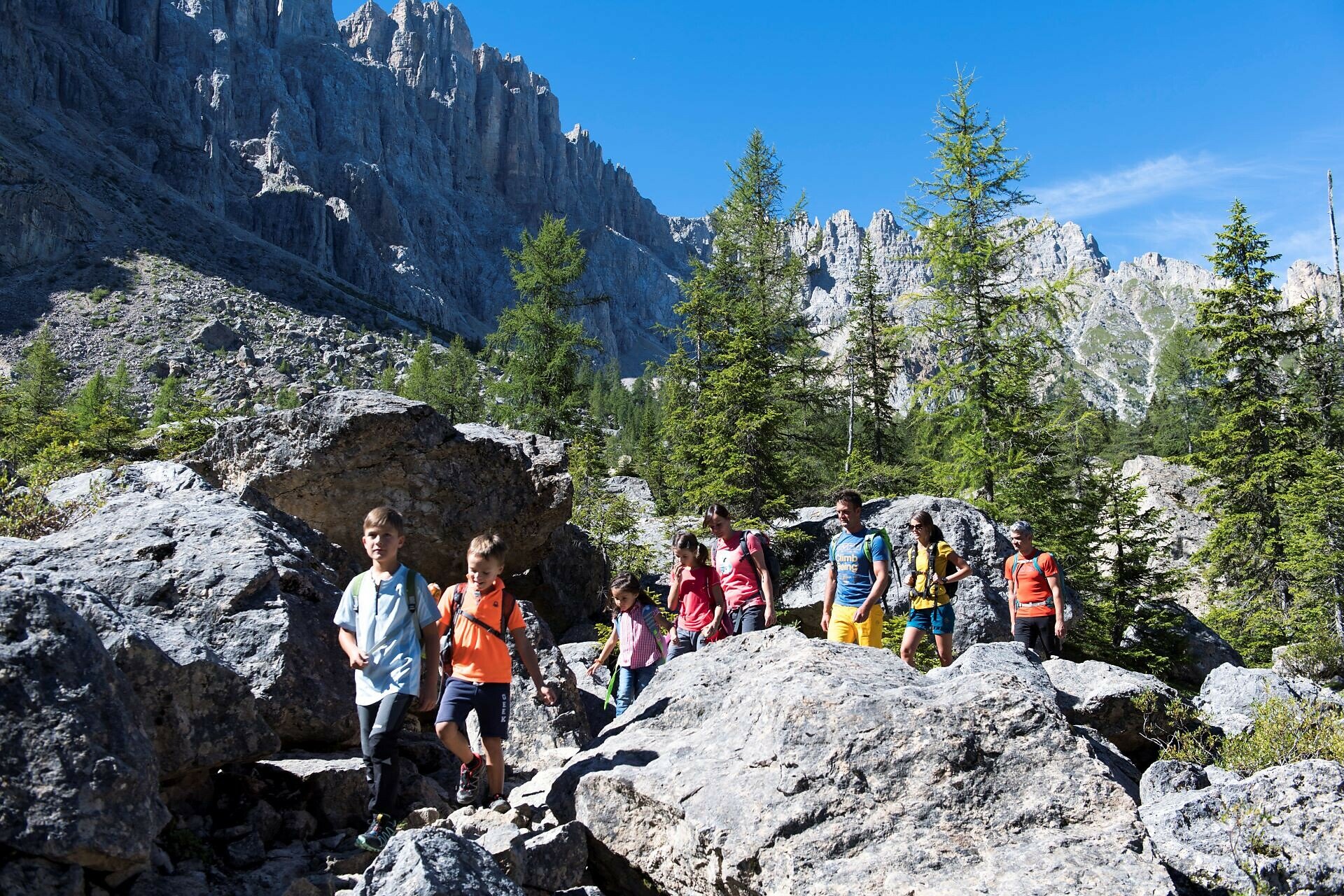
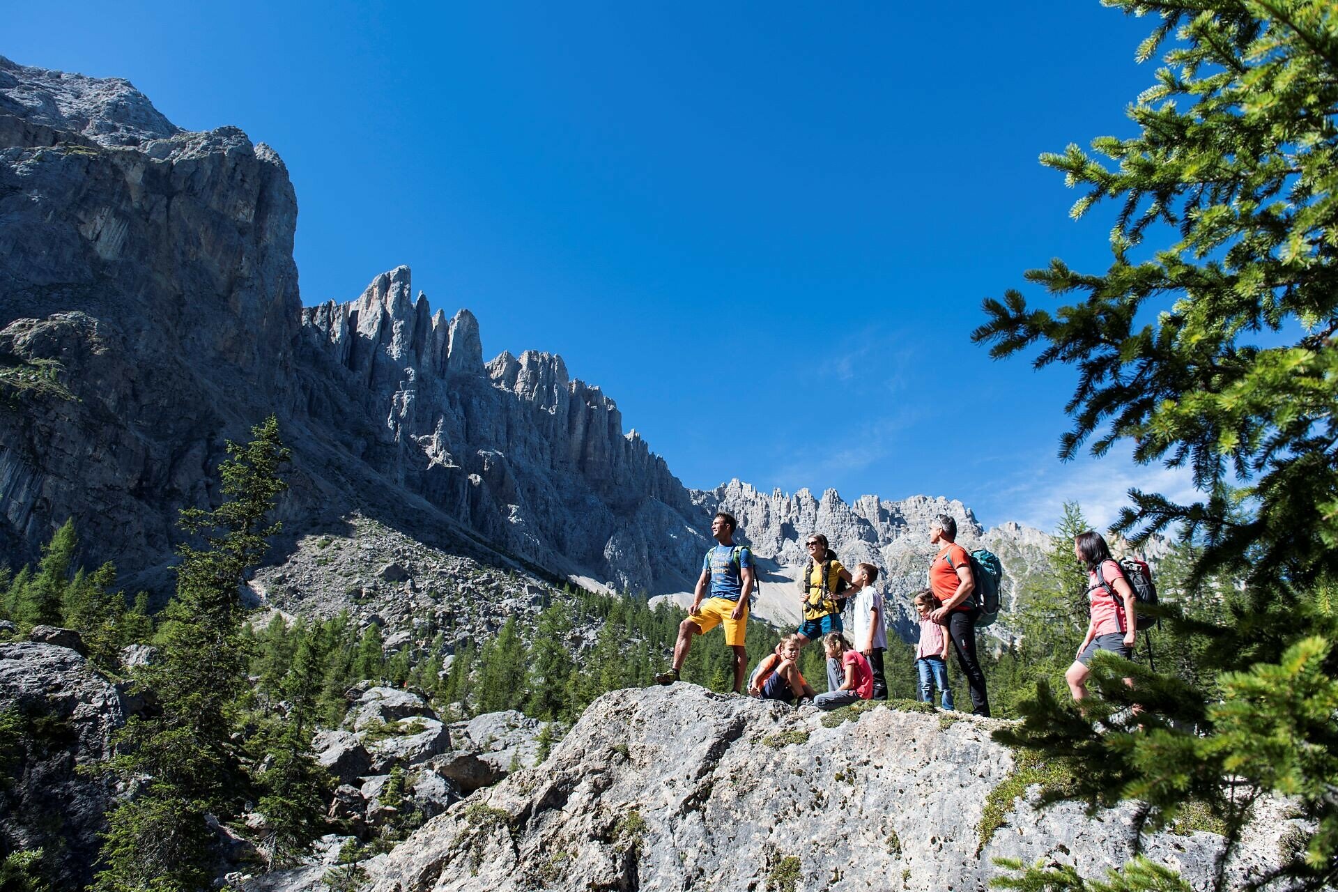
An exciting and varied tour for young and old through the fascinating rocky landscape of the Latemar.
At the foot of the majestic Latemar massif awaits a special natural adventure: the Labyrinth path. As the name suggests, this extraordinary path winds through a fascinating maze of towering rock blocks, narrow rock tunnels, and stone-carved steps (in some sections the use of hands is required). These impressive rock formations are the result of a massive rockslide that broke away from the Latemar long ago - and today provide the backdrop for an unforgettable hiking experience.
Gallery


You might be interested in
Discover related tours


