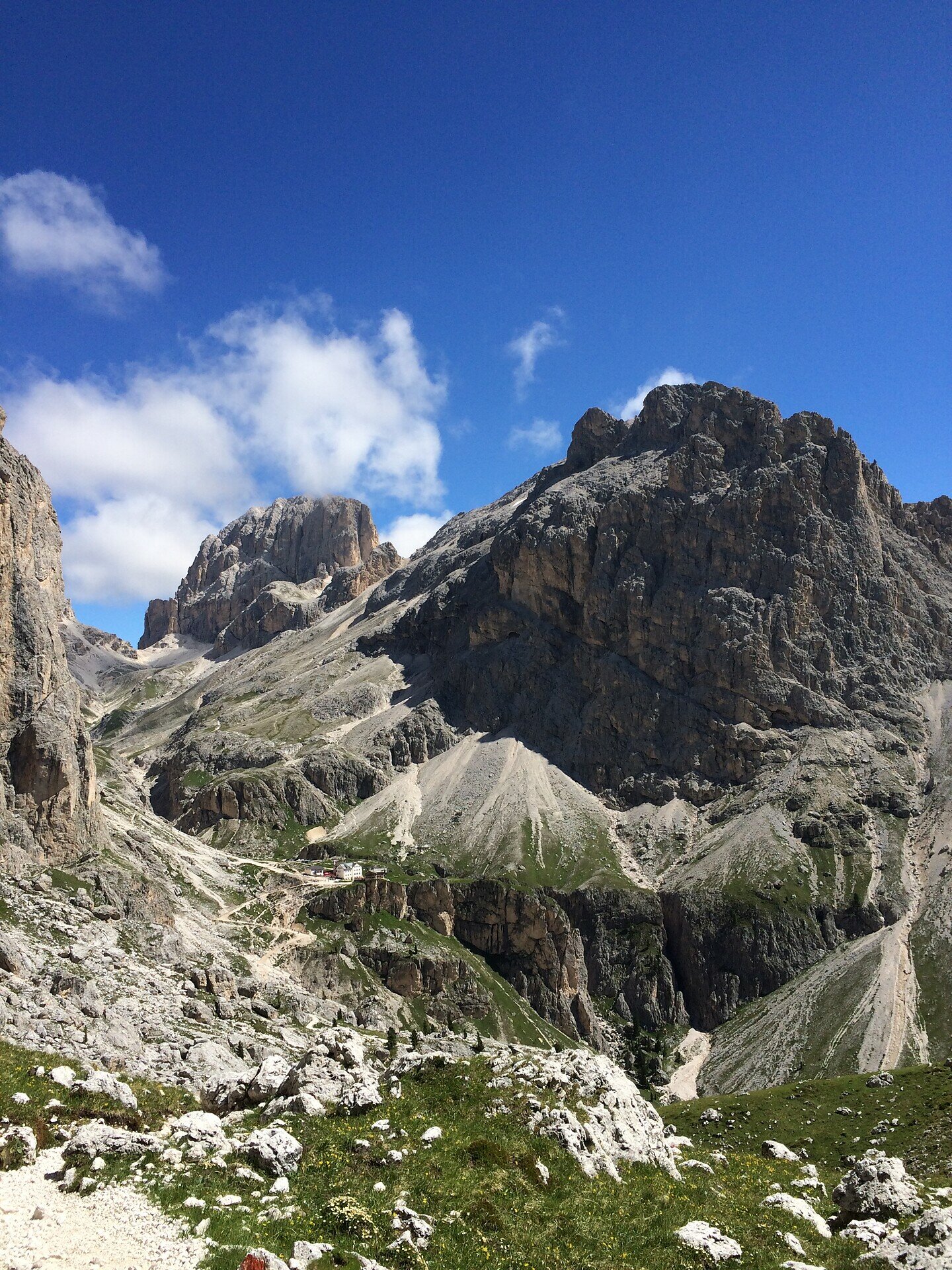
Randonnée de quatre jours dans le massif du Rosengarten/Schlern – 2e étape

Karersee
Add to favourites
Difficulty
Difficult
Activity time
4:05
Duration in hours
Distance
9.3
Distance in km
Status
open
Categories
  • Long distance hiking trail
Tags
  • Linear route
Suggested period
Jan
Feb
Mar
Apr
May
Jun
Jul
Aug
Sep
Oct
Nov
Dec

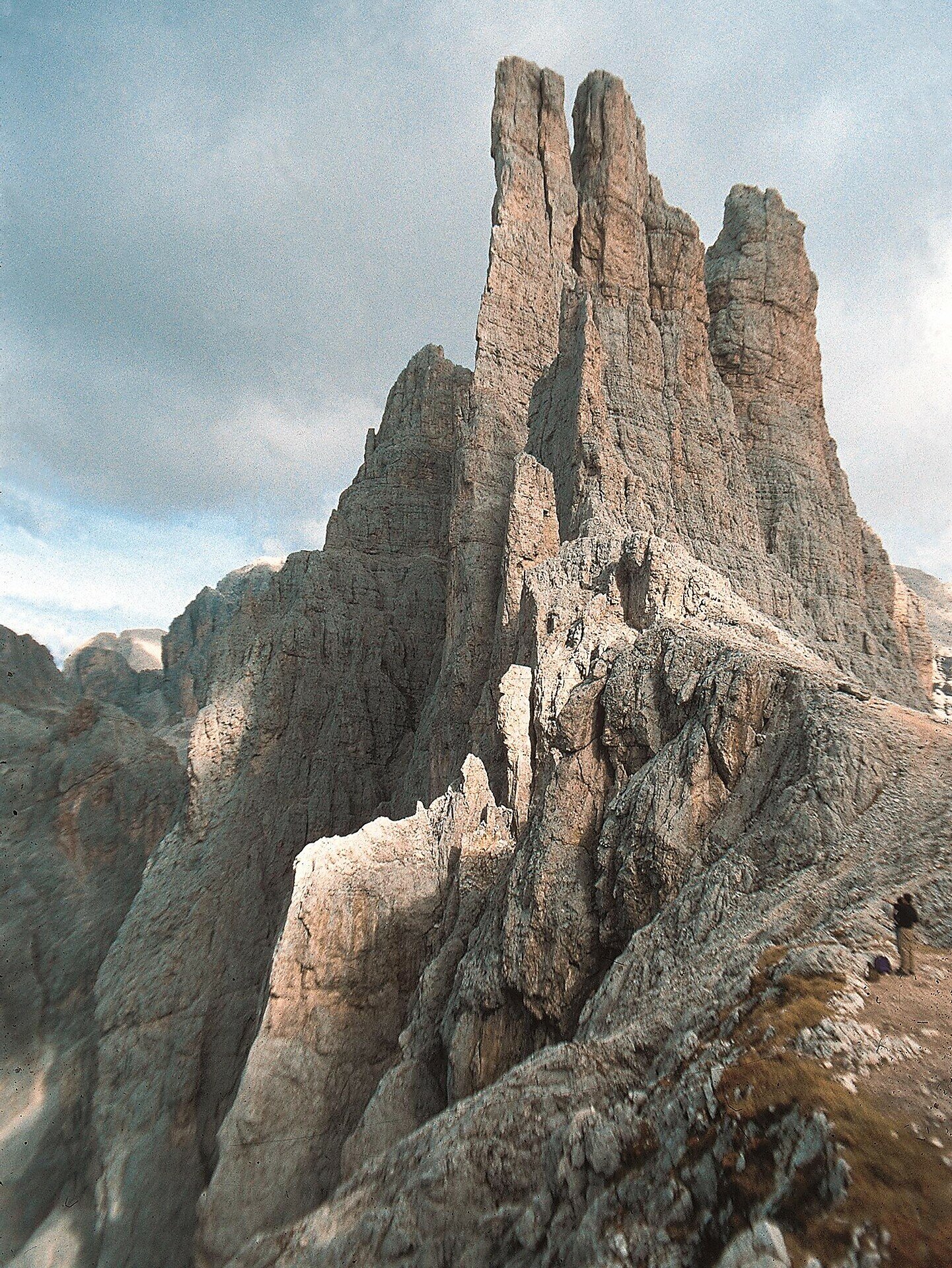
The second stage of the multi-day hike starts with the ascent to the Passo Cigolade. The descent from the pass leads to the Rif. Vajolet, the second accommodation. After the check-in an ascent to the Passo Santner is possible.


Gallery
Categories
  • Long distance hiking trail
Tags
  • Linear route
Route info
Difficult
Distance
9,3 km
Activity time
4 h 05 min
Ascent
909 m
Descent
938 m
Physical effort
Scenary
Highest point
2.726 m
Lowest point
2.180 m
You might be interested in
Discover related tours
Intermediate
Add to favourites
Deutschnofen
Sentier de grande randonnée européen E5 : de Deutschnofen à Oberradein
Distance 12,4 km
Activity time 4 h 09 min
Ascent 564 m
Descent 368 m
Status
open
Deutschnofen, Welschnofen
Randonnée de plusieurs jours « Sentiero Italia » – Étape : Obereggen – Refuge Kölner
Distance 14,3 km
Activity time 5 h 06 min
Ascent 849 m
Descent 89 m
Status
open
Intermediate
Add to favourites
Steinegg, Obereggen, Karersee, Deutschnofen, Welschnofen
Randonnée de cinq jours - Circuit des joyaux du Tyrol du Sud
Distance 89,1 km
Activity time 29 h 30 min
Ascent 3.628 m
Descent 3.628 m
Status
open
Intermediate
Add to favourites
Steinegg, Deutschnofen
Randonnée de cinq jours sur le circuit de randonnée « Perlenrundwanderweg » – 5e étape
Distance 19,3 km
Activity time 5 h 50 min
Ascent 373 m
Descent 1.423 m
Status
open
Intermediate
Add to favourites
Karersee, Welschnofen, Deutschnofen
Randonnée de cinq jours sur le circuit de randonnée « Perlenrundwanderweg » – 3e étape
Distance 13,7 km
Activity time 3 h 58 min
Ascent 412 m
Descent 618 m
Status
open
Intermediate
Add to favourites
Obereggen, Deutschnofen
Randonnée de plusieurs jours « Sentiero Italia » – Étape : col de Lavazè – Obereggen
Distance 9,1 km
Activity time 2 h 20 min
Ascent 382 m
Descent 251 m
Status
open
© Gabriel Eisath
Neu
Der offizielle WhatsApp-Kanal von Eggental Tourismus!
Abonniere unseren Kanal

Verpasse keine Neuigkeiten mehr! Folge unserem neuen WhatsApp-Kanal und erhalte aktuelle News, Veranstaltungstipps und besondere Highlights aus dem Eggental direkt auf dein Handy.

Wir freuen uns auf dich!