Top

Randonnée en raquettes du col de Karer aux prairies du Latemar

Welschnofen, Karersee
Add to favourites
Category
Difficulty
Easy
Activity time
1:42
Duration in hours
Distance
5.9
Distance in km
Status
open
Suggested period
Jan
Feb
Mar
Apr
May
Jun
Jul
Aug
Sep
Oct
Nov
Dec
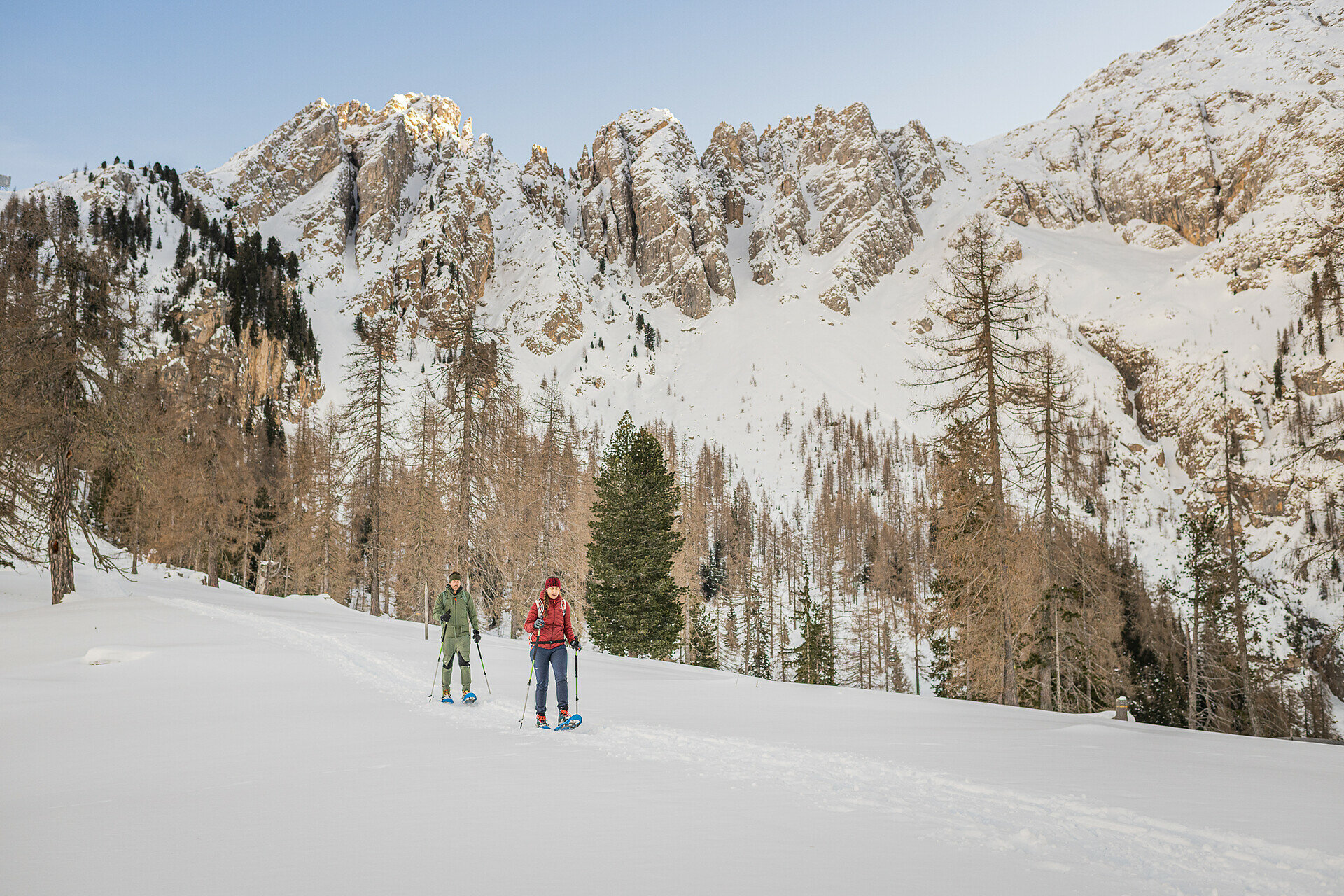
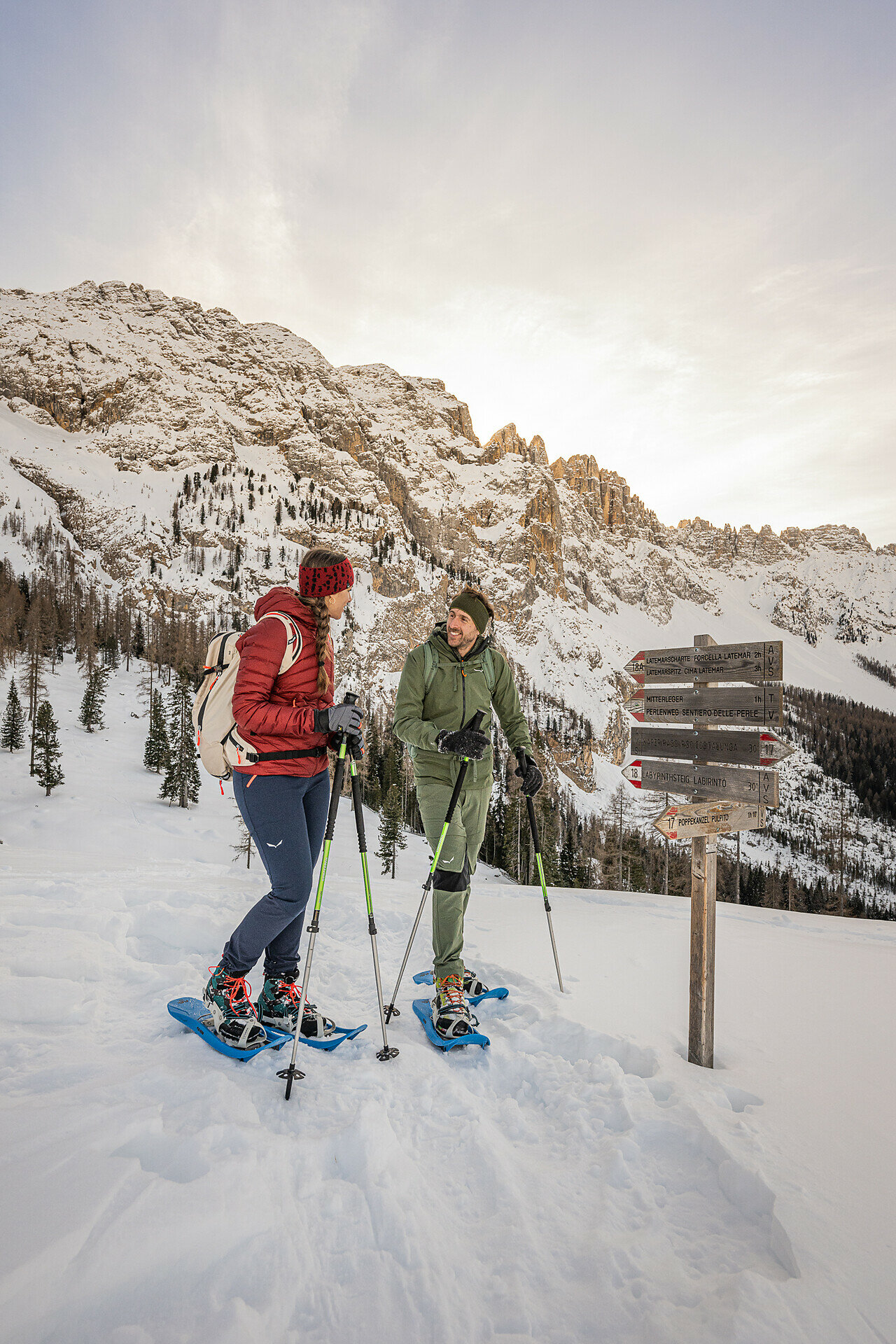
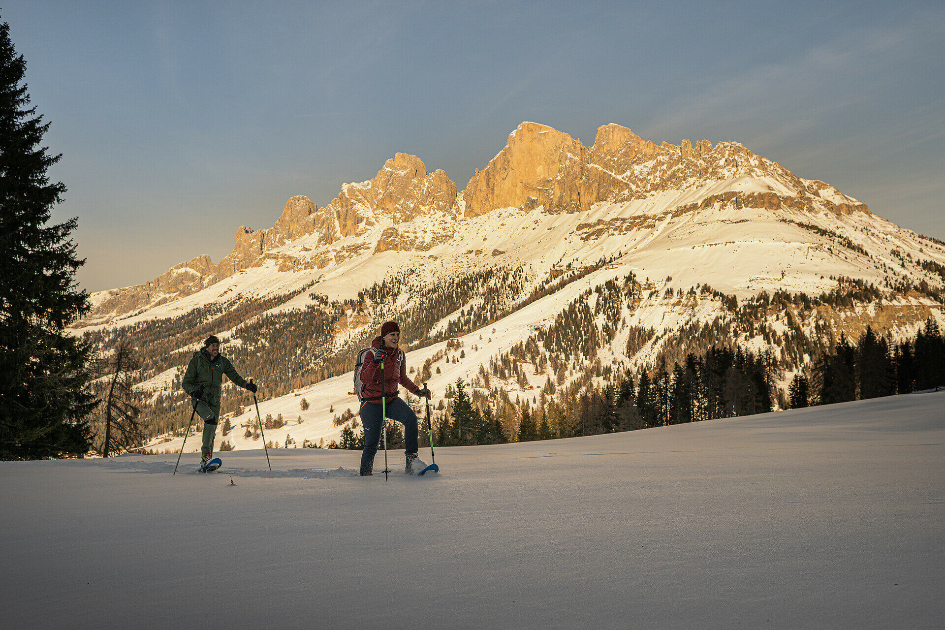
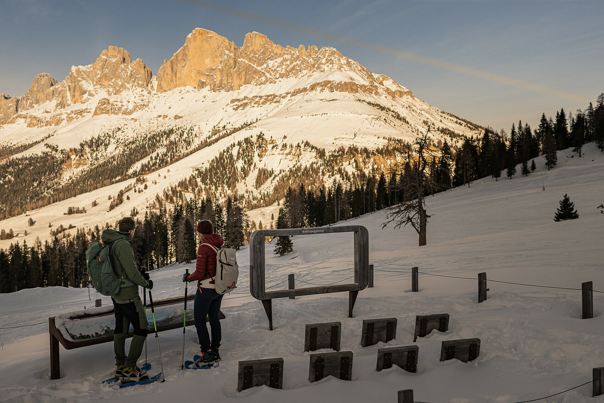
This snowshoe hike leads through the Latemar meadows at the foot of the Latemar, with refreshment stops and magnificent views of the Rosengarten | Catinaccio and the Latemar peaks.
This snowshoe hike takes you into the snow-covered expanses of the Latemar meadows, a picturesque area right at the foot of the Latemar with a perfect view of the Rosengarten | Catinaccio. Along the way, you are rewarded with stunning views of the imposing Latemar mountain peaks, which can be climbed in summer. Upon reaching the snow-covered Latemar meadows, the Latmor Alm hut invites you for a warming break.
Route info
Easy
Distance
5,9 km
Activity time
1 h 42 min
Ascent
183 m
Descent
183 m
Physical effort
Scenary
Highest point
1.916 m
Lowest point
1.750 m
You might be interested in
Discover related tours
Deutschnofen
Randonnée en raquettes de Eggen à Rauth
Distance 8,4 km
Activity time 3 h 00 min
Ascent 391 m
Descent 346 m
Status
open
Intermediate
Add to favourites
Welschnofen
Snowshoe hike from Lake Carezza to the Mitterleger | Radura di Mezzo
Distance 9,2 km
Activity time 3 h 09 min
Ascent 327 m
Descent 327 m
Status
open
Intermediate
Add to favourites
Karersee, Welschnofen
Randonnée en raquettes à neige vers le Buselineck-Monte Nigra à Novare
Distance 10,7 km
Activity time 2 h 51 min
Ascent 140 m
Descent 727 m
Status
open
Intermediate
Add to favourites
Deutschnofen
Snowshoe Hike to Maria Weißenstein and the Laab hut
Distance 14,0 km
Activity time 4 h 35 min
Ascent 339 m
Descent 339 m
Status
open
Intermediate
Add to favourites
Deutschnofen
Randonnée en raquettes à neige jusqu'à la chapelle Saint-Agathe
Distance 5,0 km
Activity time 1 h 25 min
Ascent 150 m
Descent 150 m
Status
open
Deutschnofen
Snowshoe roundtrip on the Jochgrimm
Distance 7,5 km
Activity time 2 h 37 min
Ascent 274 m
Descent 274 m
Status
closed