Top

Randonnée en raquettes Maria Weißenstein - Vallée Köser - Neuhütt

Deutschnofen
Add to favourites
Difficulty
Easy
Activity time
2:55
Duration in hours
Distance
10
Distance in km
Status
closed
Categories
  • Snowshoeing
Suggested period
Jan
Feb
Mar
Apr
May
Jun
Jul
Aug
Sep
Oct
Nov
Dec
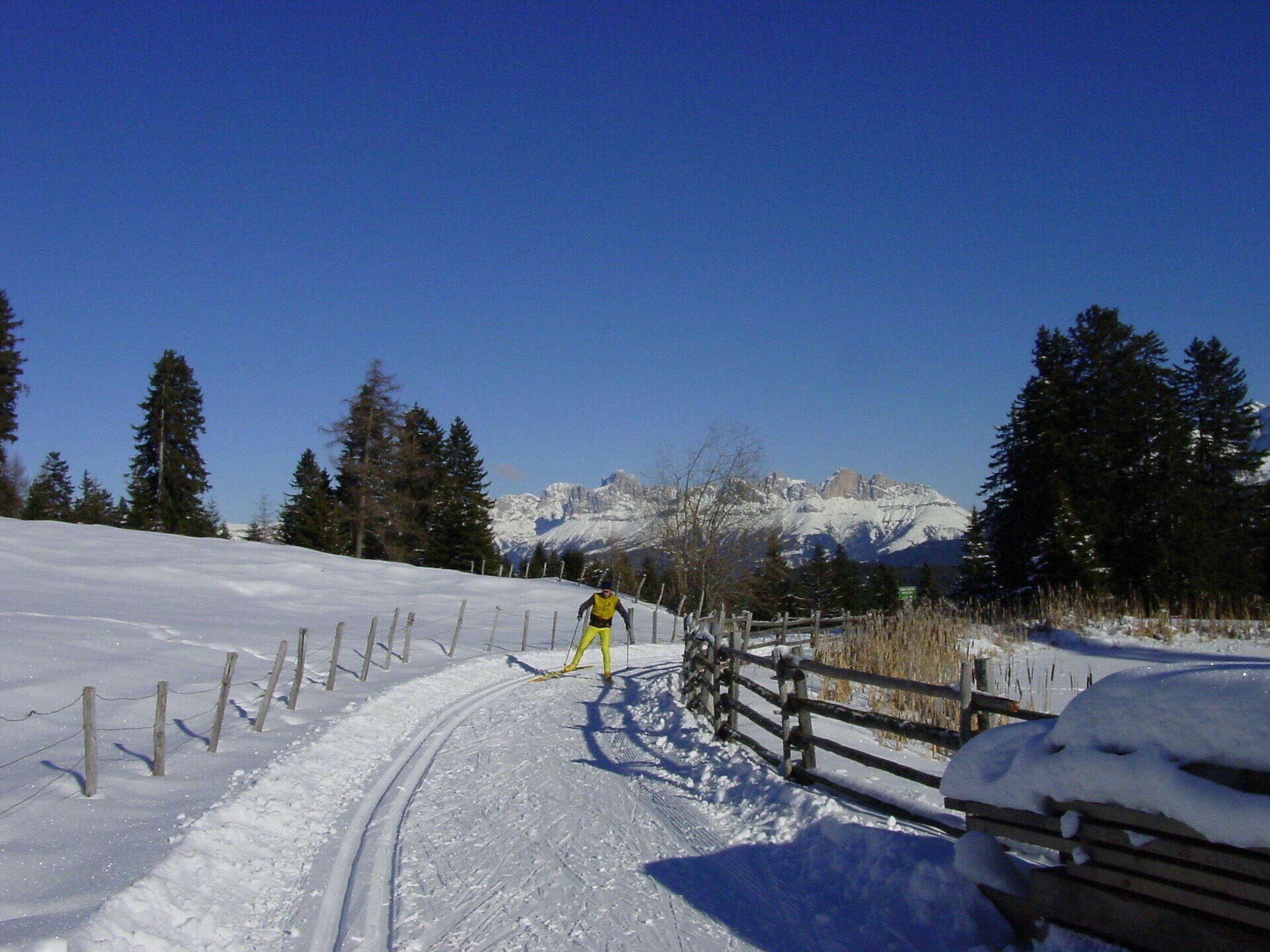
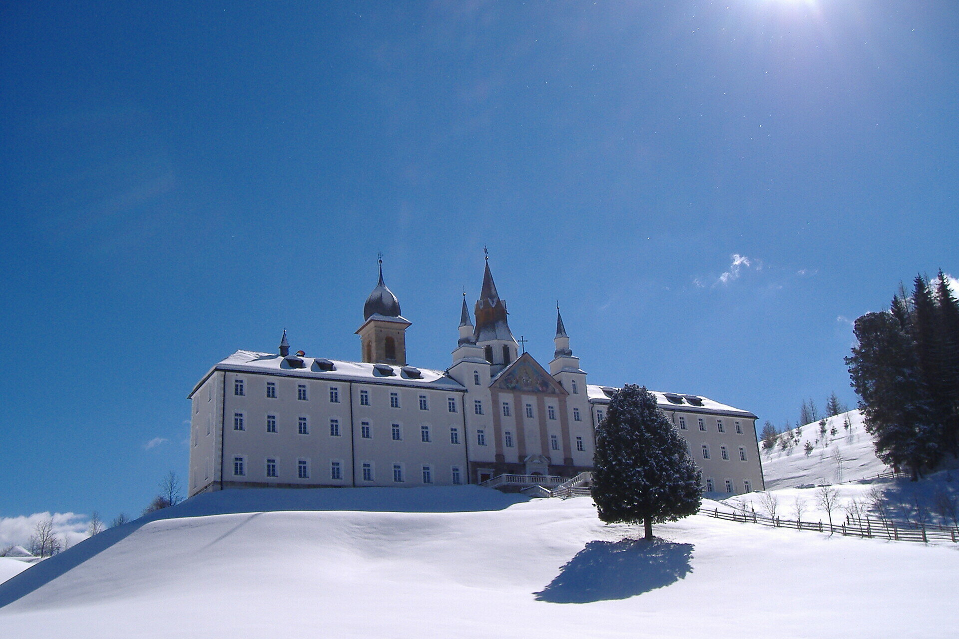
The leisurely snowshoe hike begins at the idyllic pilgrimage site of Maria Weißenstein and leads into the untouched winter landscape.

Starting from the idyllic sanctuary of Maria Weißenstein, this leisurely snowshoe hike takes you into the pristine winter landscape of the South Tyrolean Dolomites. The route initially leads through quiet, snow-covered high forests, whose mighty spruces and larches are cloaked in a white mantle. As you take deep breaths of the clear mountain air, all you can hear is the gentle crunching of snowshoes underfoot.

Gallery
Categories
  • Snowshoeing
Route info
Easy
Distance
10,0 km
Activity time
2 h 55 min
Ascent
350 m
Descent
350 m
Physical effort
Scenary
Highest point
1.787 m
Lowest point
1.456 m
You might be interested in
Discover related tours
Intermediate
Add to favourites
Welschnofen
Randonnée en raquettes du lac de Carezza à Mitterleger
Distance 9,1 km
Activity time 3 h 15 min
Ascent 326 m
Descent 326 m
Status
closed
Intermediate
Add to favourites
Deutschnofen
Randonnée en raquettes Deutschnofen - Kohlern - Bolzano
Distance 10,7 km
Activity time 4 h 07 min
Ascent 371 m
Descent 627 m
Status
closed
Intermediate
Add to favourites
Karersee, Welschnofen
Randonnée en raquettes jusqu'au Buselineck-Monte Nigra à Welschnofen
Distance 11,4 km
Activity time 2 h 51 min
Ascent 140 m
Descent 727 m
Status
closed
Intermediate
Add to favourites
Deutschnofen
Randonnée en raquettes Enzbirch
Distance 13,3 km
Activity time 4 h 51 min
Ascent 518 m
Descent 518 m
Status
closed
Deutschnofen
Randonnée en raquettes jusqu'à Häusler Sam
Distance 7,7 km
Activity time 2 h 54 min
Ascent 280 m
Descent 276 m
Status
closed
Intermediate
Add to favourites
Welschnofen
Randonnée en raquettes de Welschnofen au lac Karer
Distance 16,6 km
Activity time 4 h 49 min
Ascent 547 m
Descent 547 m
Status
closed
© Gabriel Eisath
Neu
Der offizielle WhatsApp-Kanal von Eggental Tourismus!
Abonniere unseren Kanal

Verpasse keine Neuigkeiten mehr! Folge unserem neuen WhatsApp-Kanal und erhalte aktuelle News, Veranstaltungstipps und besondere Highlights aus dem Eggental direkt auf dein Handy.

Wir freuen uns auf dich!