Ring Frin

Welschnofen
Add to favourites
Category
Difficulty
Easy
Activity time
1:32
Duration in hours
Distance
3.7
Distance in km
Status
closed
Suggested period
Jan
Feb
Mar
Apr
May
Jun
Jul
Aug
Sep
Oct
Nov
Dec

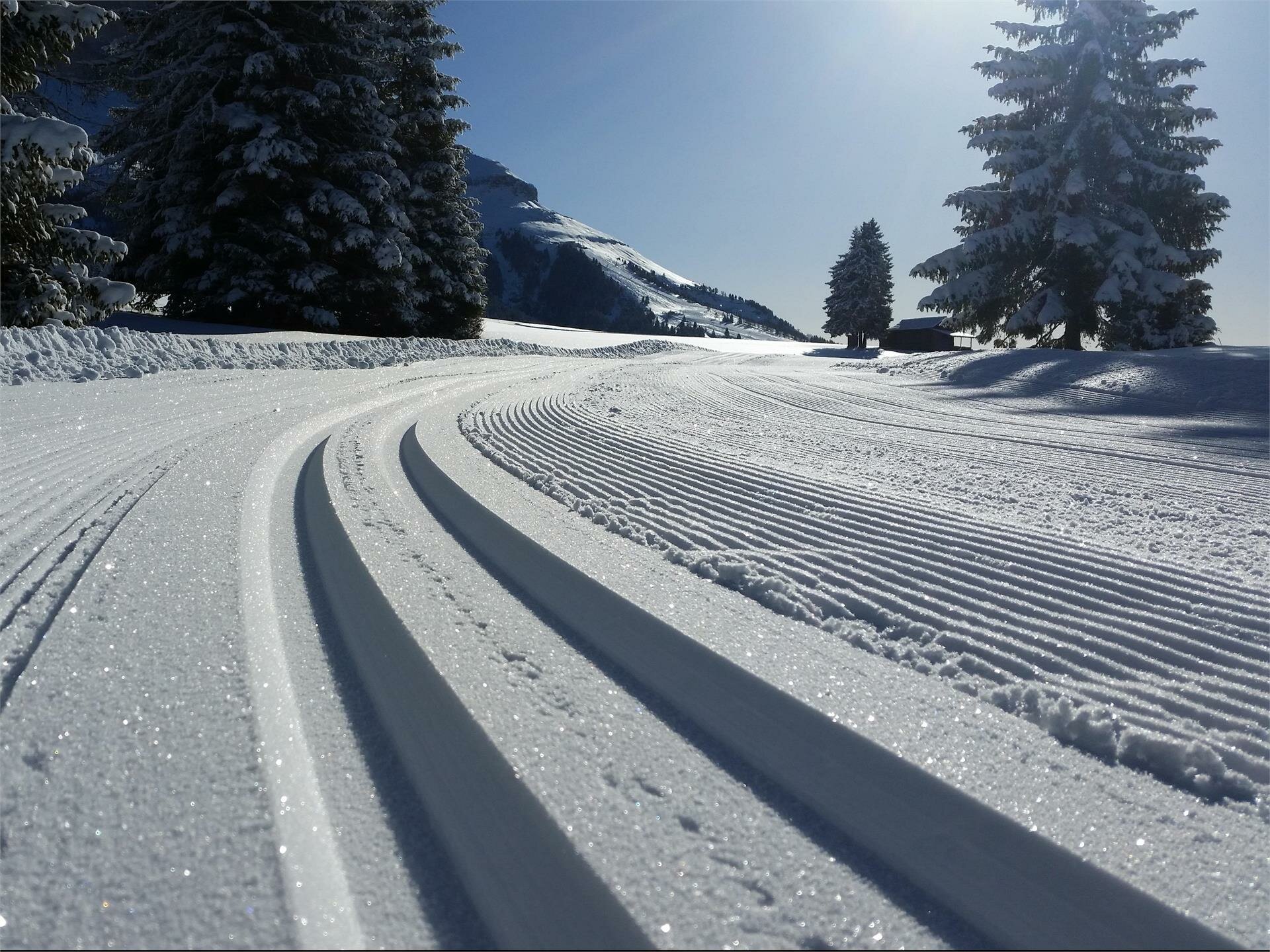
The extensive and idyllic Frin meadows offer not only a great cross-country skiing route but also a magnificent panorama of the Rosengarten | Catinaccio and Latemar mountains.

Route info
Easy
Distance
3,7 km
Activity time
1 h 32 min
Ascent
181 m
Descent
181 m
Technical skills
Physical effort
Scenary
Highest point
1.751 m
Lowest point
1.630 m
Directions
The entrance to the cross-country ski trail is on the street Nigerstraße | Via Nigra at the Jolanda bus stop.
public transportation
Getting to the cross-country route by public transport is easy and convenient.

By public bus line:
- 180 from Bozen | Bolzano, Birchabruck | Ponte Nova
- 180 or 184 from Karerpass | Passo Costalunga
- 184 from Weissenstein | Pietralba, Petersberg | Monte San Pietro, Deutschnofen | Nova Ponente, Stenk (or 181 and change 180)
- 184 from Obereggen, Eggen | Ega (or 184 and change 180)
- 187 from Steinegg | Collepietra, Gummer | San Valentino (or 182 and change 180)
- 180 from Val di Fassa
- change 186

Bus stop: Jolanda. Online timetable search at www.suedtirolmobil.info/en/
How to get there
Getting to the cross-country route by public transport is easy and convenient.

By public bus line:
- 180 from Bozen | Bolzano, Birchabruck | Ponte Nova
- 180 or 184 from Karerpass | Passo Costalunga
- 184 from Weissenstein | Pietralba, Petersberg | Monte San Pietro, Deutschnofen | Nova Ponente, Stenk (or 181 and change 180)
- 184 from Obereggen, Eggen | Ega (or 184 and change 180)
- 187 from Steinegg | Collepietra, Gummer | San Valentino (or 182 and change 180)
- 180 from Val di Fassa
- change 186

Bus stop: Jolanda. Online timetable search at www.suedtirolmobil.info/en/

By car:
Destination: Karersee | Carezza
Parking: bus stop Jolanda, https://maps.app.goo.gl/dryGEAaxhWUcCGFz9 
Where to park
Parking: bus stop Jolanda, https://maps.app.goo.gl/dryGEAaxhWUcCGFz9
You might be interested in
Discover related tours
Intermediate
Add to favourites
Obereggen, Deutschnofen
Lavazè Pass - Lieg hut
Distance 8,9 km
Activity time 2 h 23 min
Ascent 180 m
Descent 180 m
Status
closed
Welschnofen
Ring Angerle
Distance 2,8 km
Activity time 44 min
Ascent 47 m
Descent 48 m
Status
closed
Intermediate
Add to favourites
Deutschnofen
Auer Leger Hut - Capanna Nouva Hut
Distance 4,9 km
Activity time 52 min
Ascent 2 m
Descent 89 m
Status
closed
Intermediate
Add to favourites
Deutschnofen
Lupicino/Wölfl
Distance 14,1 km
Activity time 3 h 21 min
Ascent 190 m
Descent 190 m
Status
closed
Intermediate
Add to favourites
Deutschnofen
Kesselmoos
Distance 6,7 km
Activity time 1 h 37 min
Ascent 80 m
Descent 80 m
Status
closed
Deutschnofen
Sport centre - Pfösl
Distance 0,8 km
Activity time 19 min
Ascent 38 m
Descent 10 m
Status
closed