Top

Sentier de grande randonnée européen E5 : de Deutschnofen à Oberradein

Deutschnofen
Add to favourites
Difficulty
Intermediate
Activity time
4:09
Duration in hours
Distance
12.4
Distance in km
Status
open
Categories
  • Long distance hiking trail
Tags
  • Linear route
Suggested period
Jan
Feb
Mar
Apr
May
Jun
Jul
Aug
Sep
Oct
Nov
Dec
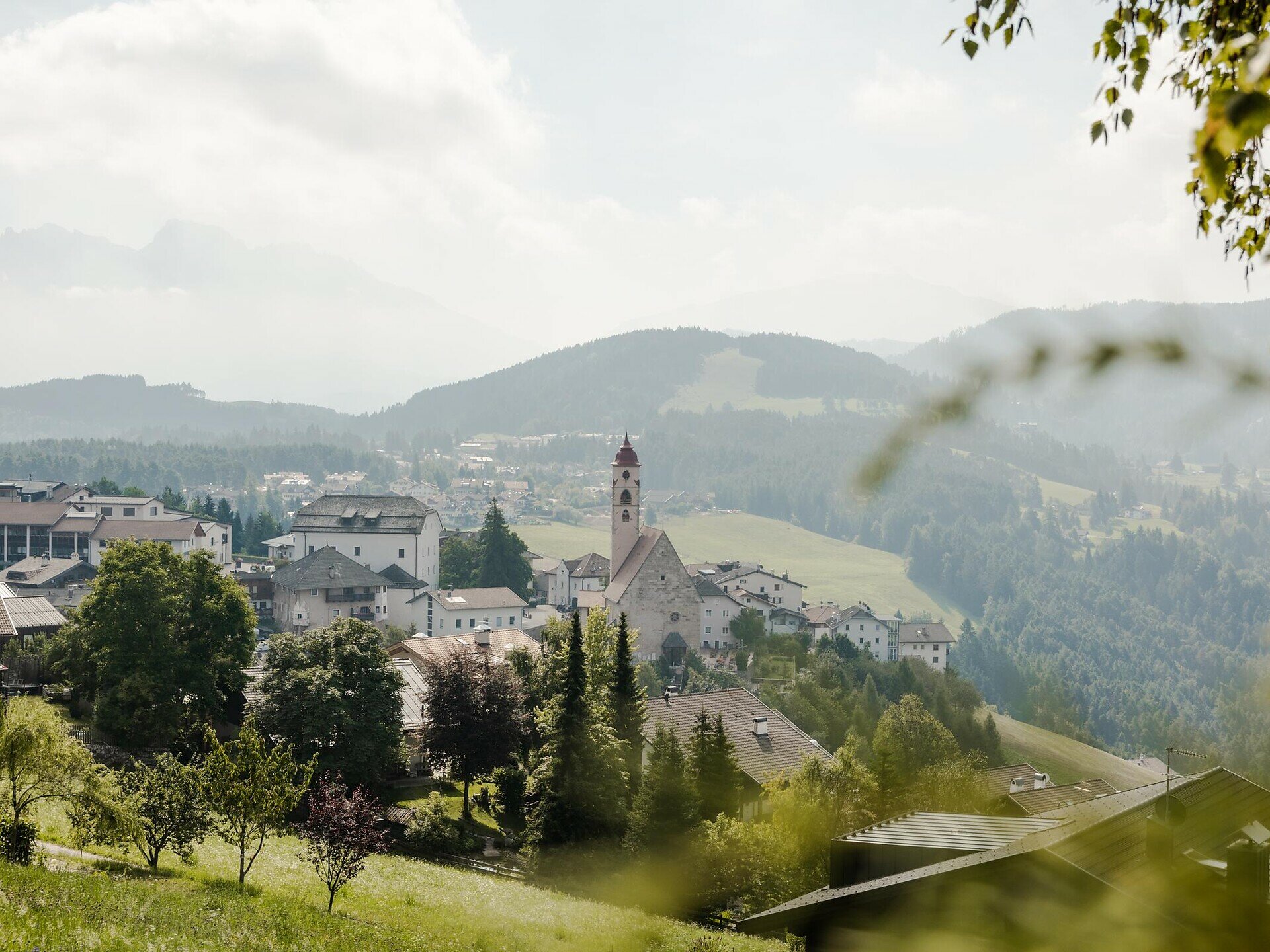
From Deutschnofen | Nova Ponente via Maria Weißenstein and Lahner hut to the Bletterbach Geoparc. Through the gorge with unique rock formations to Oberradein | Redagno di Sopra.
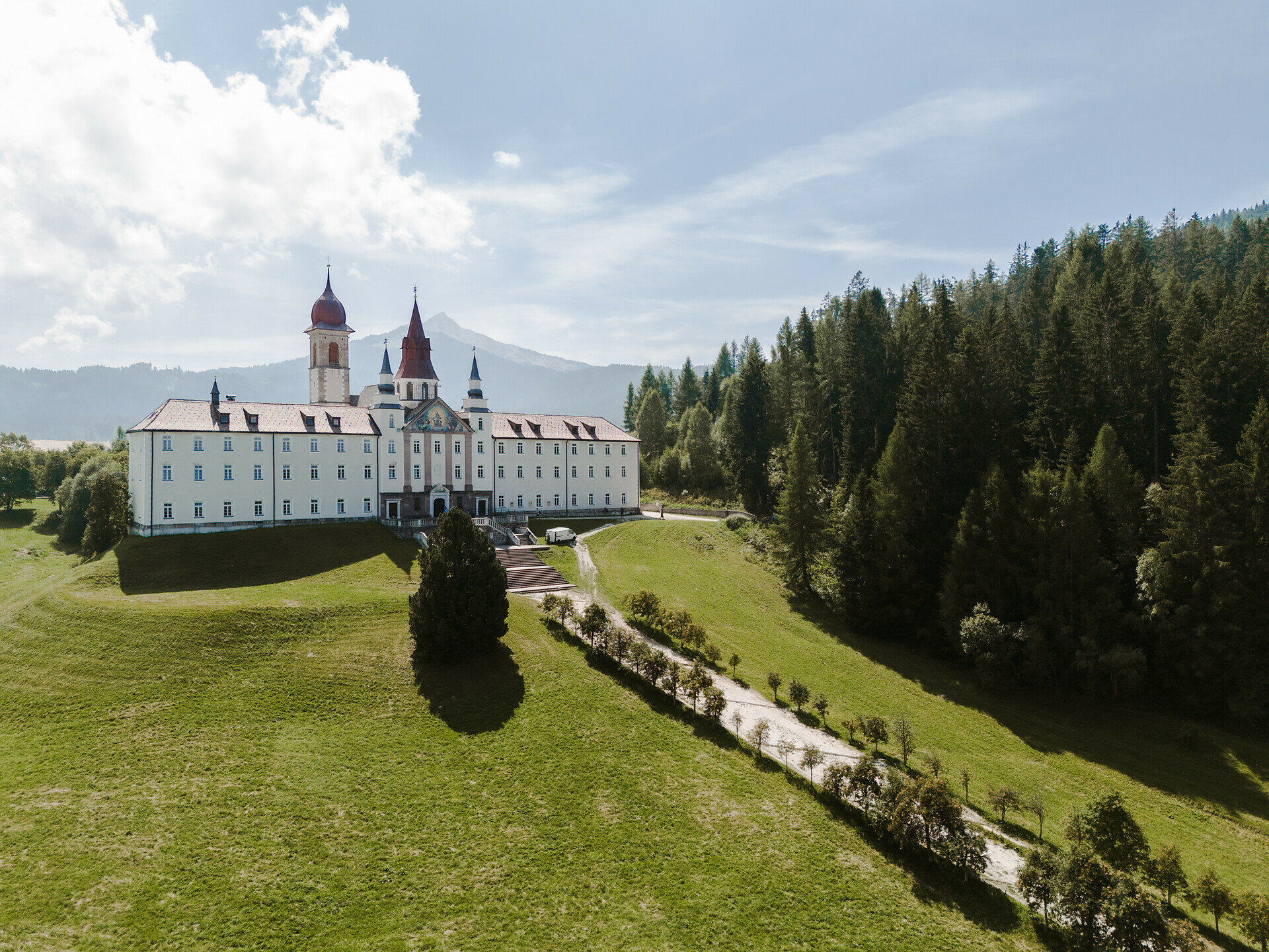
Stage 13: The stage starts in the center of Deutschnofen | Nova Ponente and leads to the pilgrimage church of Maria Weißenstein | Pietralba, an important cultural highlight. It continues to Lahner hut, perfect for a relaxing break, before reaching the Bletterbach Geoparc visitor center. The route then passes through the impressive gorge with its striking rock formations and ends in Oberradein | Redagno di Sopra.

Note: The Bletterbach gorge can only be visited with a helmet (available on site). It is not recommended in rainy or stormy conditions.

Dining options: restaurant Stern, Rössl Café, restaurant Weißenstein | Pietralba, Lahner hut
Gallery
Categories
  • Long distance hiking trail
Tags
  • Linear route
Route info
Intermediate
Distance
12,4 km
Activity time
4 h 09 min
Ascent
564 m
Descent
368 m
Physical effort
Scenary
Highest point
1.691 m
Lowest point
1.324 m
You might be interested in
Discover related tours
Welschnofen, Karersee
Randonnée de quatre jours dans le massif du Rosengarten/Schlern – 1re étape
Distance 12,9 km
Activity time 5 h 30 min
Ascent 1.221 m
Descent 88 m
Status
open
Intermediate
Add to favourites
Karersee, Obereggen, Welschnofen, Deutschnofen
Geotrail des Dolomites, site du patrimoine mondial II – 2e étape : du col du Lavazè au col de Karer
Distance 21,8 km
Activity time 6 h 50 min
Ascent 708 m
Descent 765 m
Status
open
Intermediate
Add to favourites
Karersee, Welschnofen, Deutschnofen
Randonnée de cinq jours sur le circuit de randonnée « Perlenrundwanderweg » – 3e étape
Distance 13,7 km
Activity time 3 h 58 min
Ascent 412 m
Descent 618 m
Status
open
Karersee
Randonnée de quatre jours dans le massif du Rosengarten/Schlern – 3e étape
Distance 12,7 km
Activity time 4 h 23 min
Ascent 1.038 m
Descent 829 m
Status
open
Intermediate
Add to favourites
Obereggen, Deutschnofen
Randonnée de plusieurs jours « Sentiero Italia » – Étape : col de Lavazè – Obereggen
Distance 9,1 km
Activity time 2 h 20 min
Ascent 382 m
Descent 251 m
Status
open
Intermediate
Add to favourites
Steinegg, Obereggen, Karersee, Deutschnofen, Welschnofen
Randonnée de cinq jours - Circuit des joyaux du Tyrol du Sud
Distance 89,1 km
Activity time 29 h 30 min
Ascent 3.628 m
Descent 3.628 m
Status
open
© Gabriel Eisath
Neu
Der offizielle WhatsApp-Kanal von Eggental Tourismus!
Abonniere unseren Kanal

Verpasse keine Neuigkeiten mehr! Folge unserem neuen WhatsApp-Kanal und erhalte aktuelle News, Veranstaltungstipps und besondere Highlights aus dem Eggental direkt auf dein Handy.

Wir freuen uns auf dich!