







Difficulty
IntermediateActivity time
2:10
Duration in hours
Distance
5.9
Distance in km
Status
open
Categories
Tags
A diverse circular hike to the impressive earth pyramids of Steinegg|Collepietra – sculpted by wind and water over centuries.
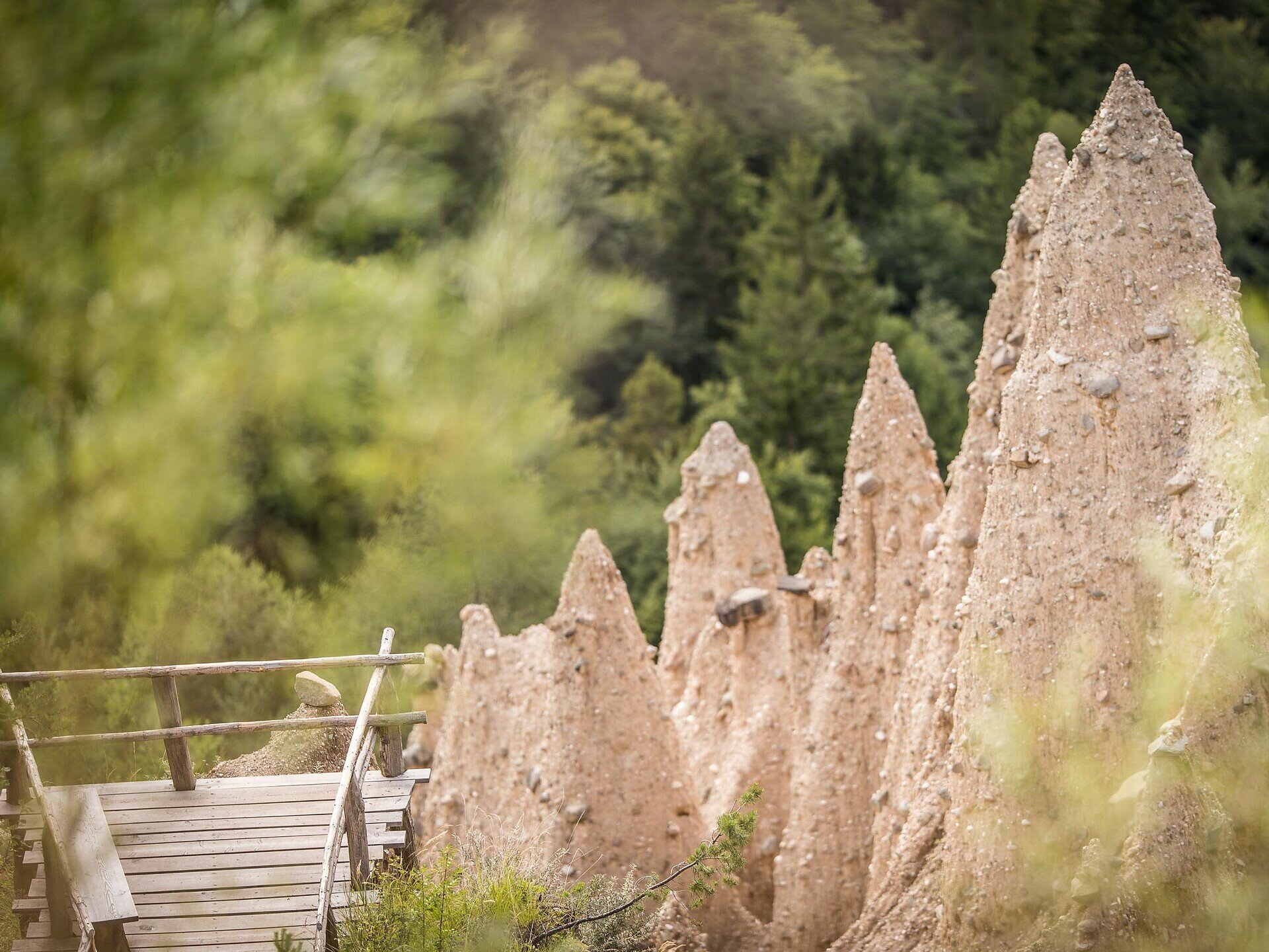
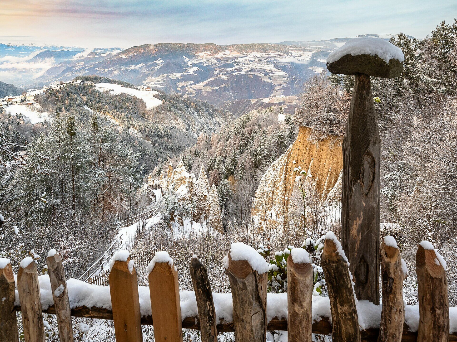
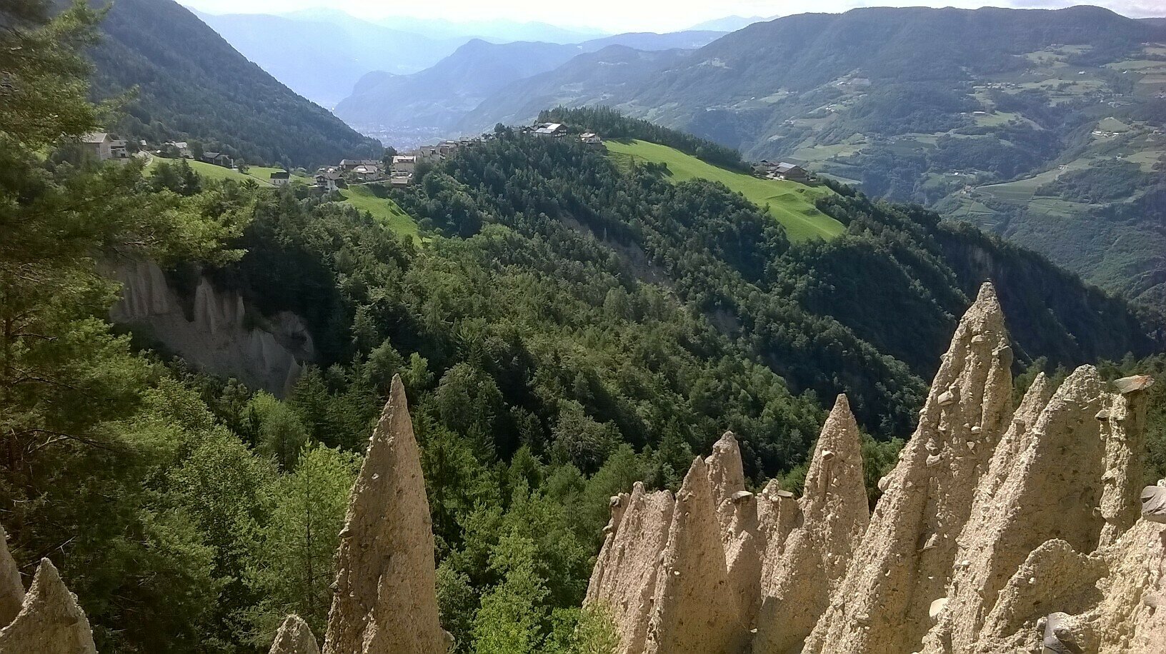
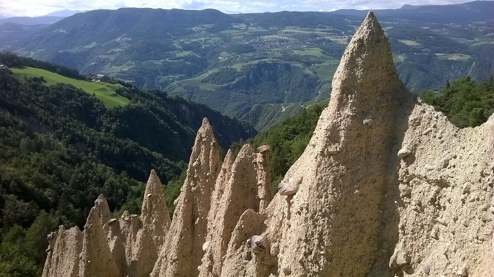
Experience a fascinating natural phenomenon on the Pyramid Path in Steinegg|Collepietra: the impressive earth pyramids, which have been formed over centuries by erosion from clayey moraine soil.
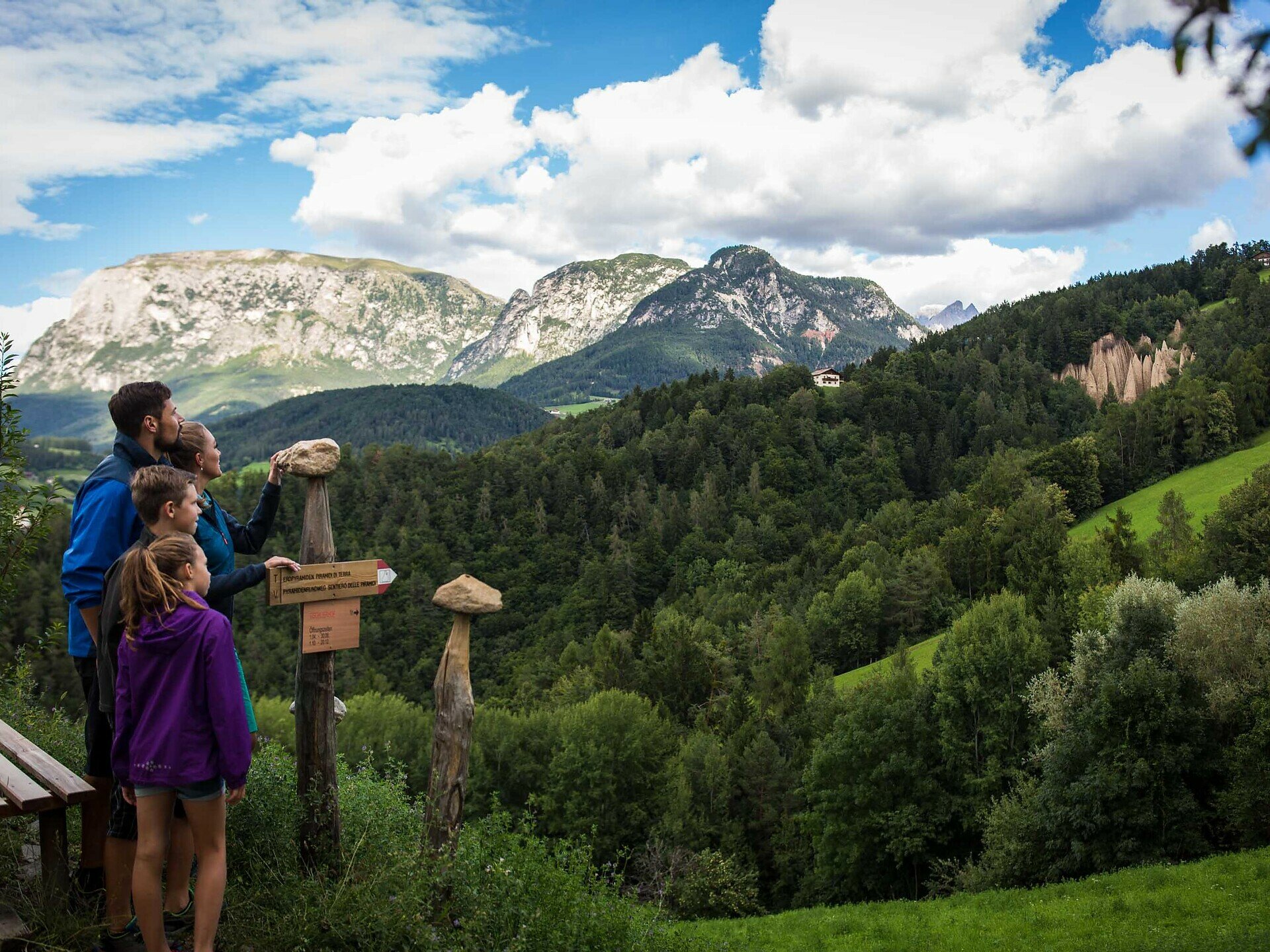
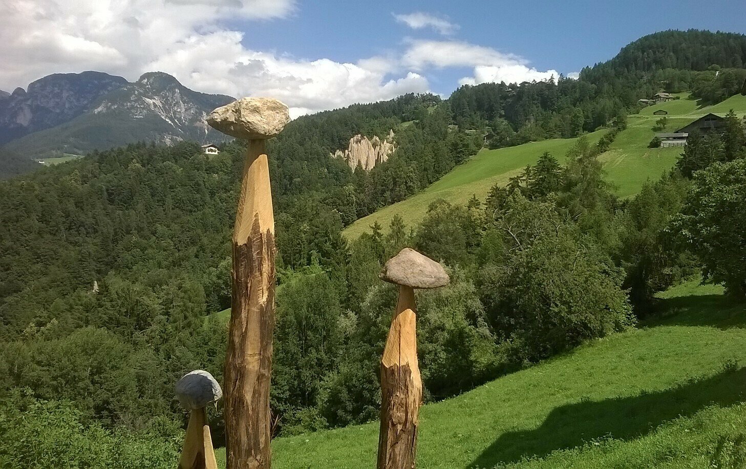
The varied circular trail leads you through dense forests, across gentle meadows and even through a gorge, always accompanied by magnificent views of the Schlern|Sciliar and Rosengarten|Catinaccio mountains. Along the way, you can marvel at the bizarre earth pillars from afar and then up close - a testimony to the power of wind and water. Enjoy this unique hike through a landscape full of geological wonders.
Important note: There are no refreshment stops along the entire circular route. However, at the start and end point in Steinegg|Collepietra, you will find several restaurants, cafés, and two shops.
The varied circular trail leads you through dense forests, across gentle meadows and even through a gorge, always accompanied by magnificent views of the Schlern|Sciliar and Rosengarten|Catinaccio mountains. Along the way, you can marvel at the bizarre earth pillars from afar and then up close - a testimony to the power of wind and water. Enjoy this unique hike through a landscape full of geological wonders.
Important note: There are no refreshment stops along the entire circular route. However, at the start and end point in Steinegg|Collepietra, you will find several restaurants, cafés, and two shops.
Gallery
You might be interested in
Discover related tours


