Top

Randonnée hivernale du lac de Karer à l'alpage de Frommer

Welschnofen
Add to favourites
Category
Difficulty
Easy
Activity time
1:40
Duration in hours
Distance
5.3
Distance in km
Suggested period
Jan
Feb
Mar
Apr
May
Jun
Jul
Aug
Sep
Oct
Nov
Dec
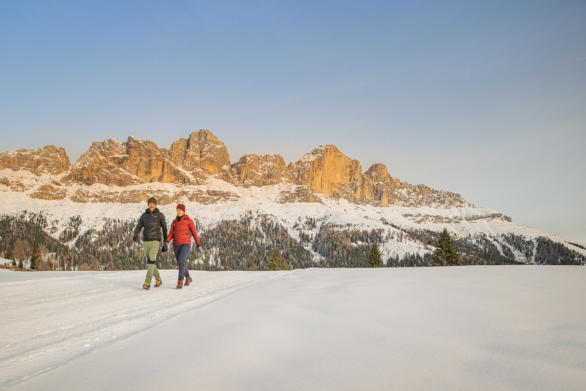
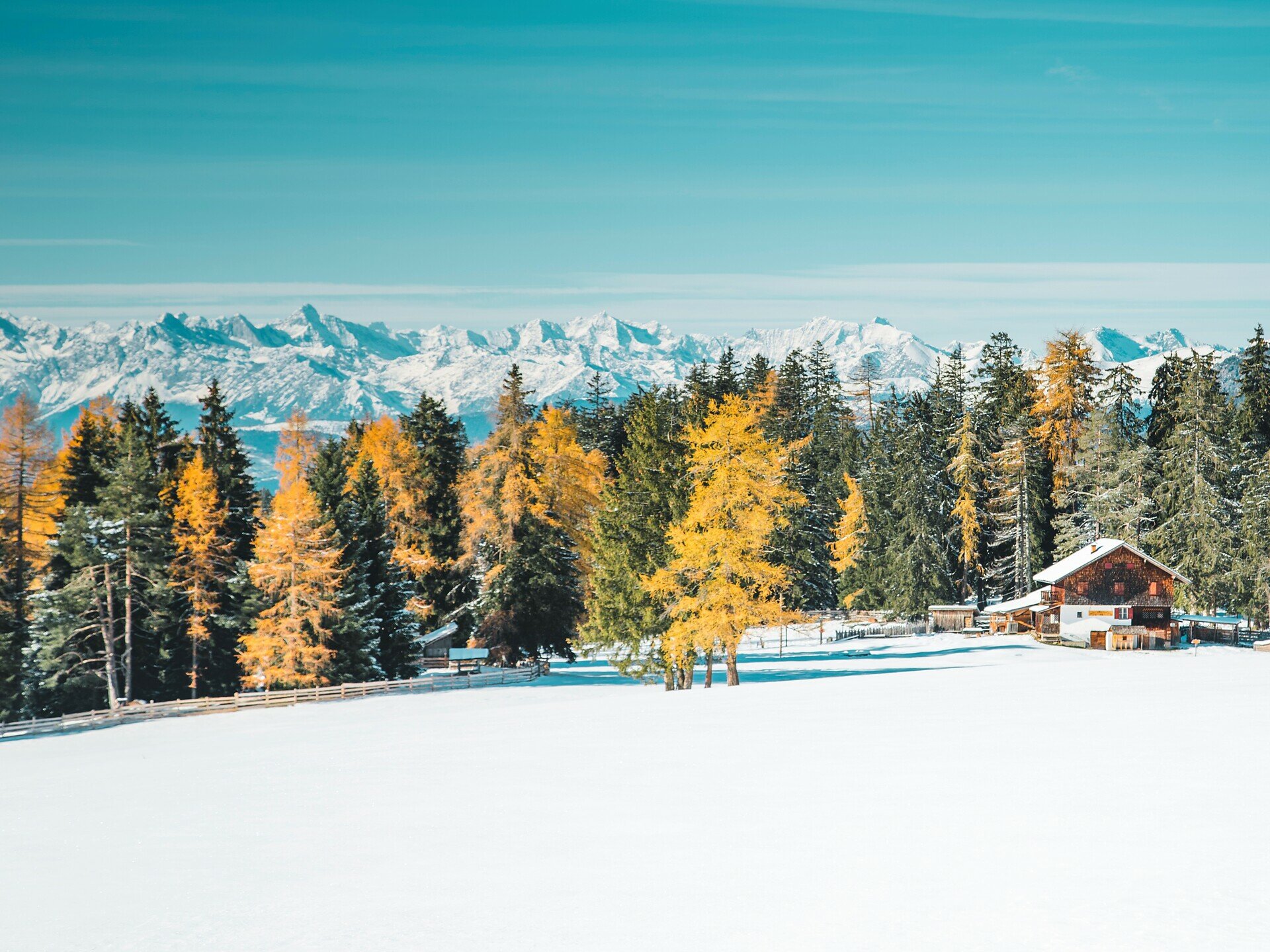
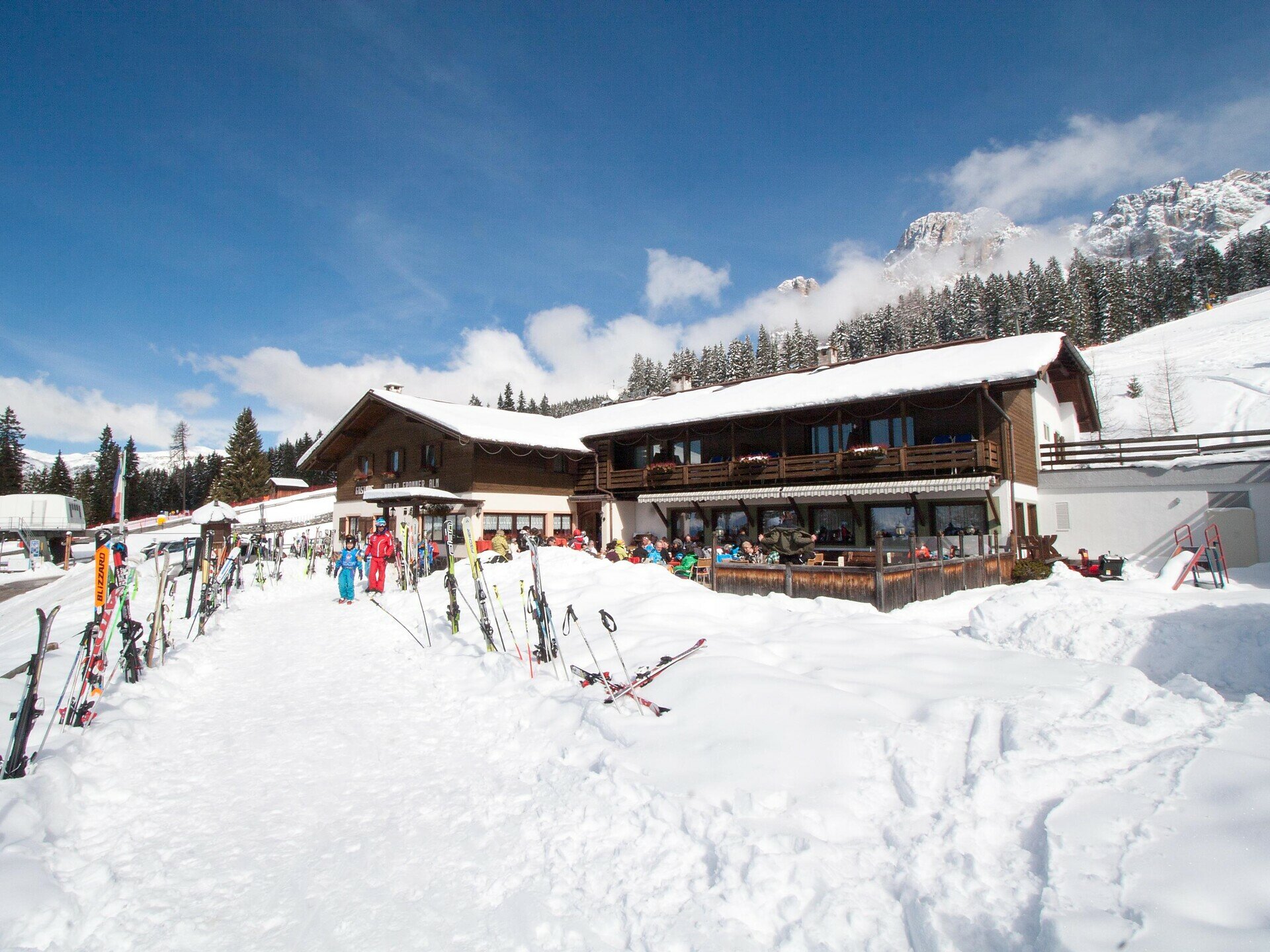
A beautiful winter hike from Lake Carezza across the Frin meadows, with splendid views of the Dolomites and a pleasant final stop at the cozy Frommer Alm hut.

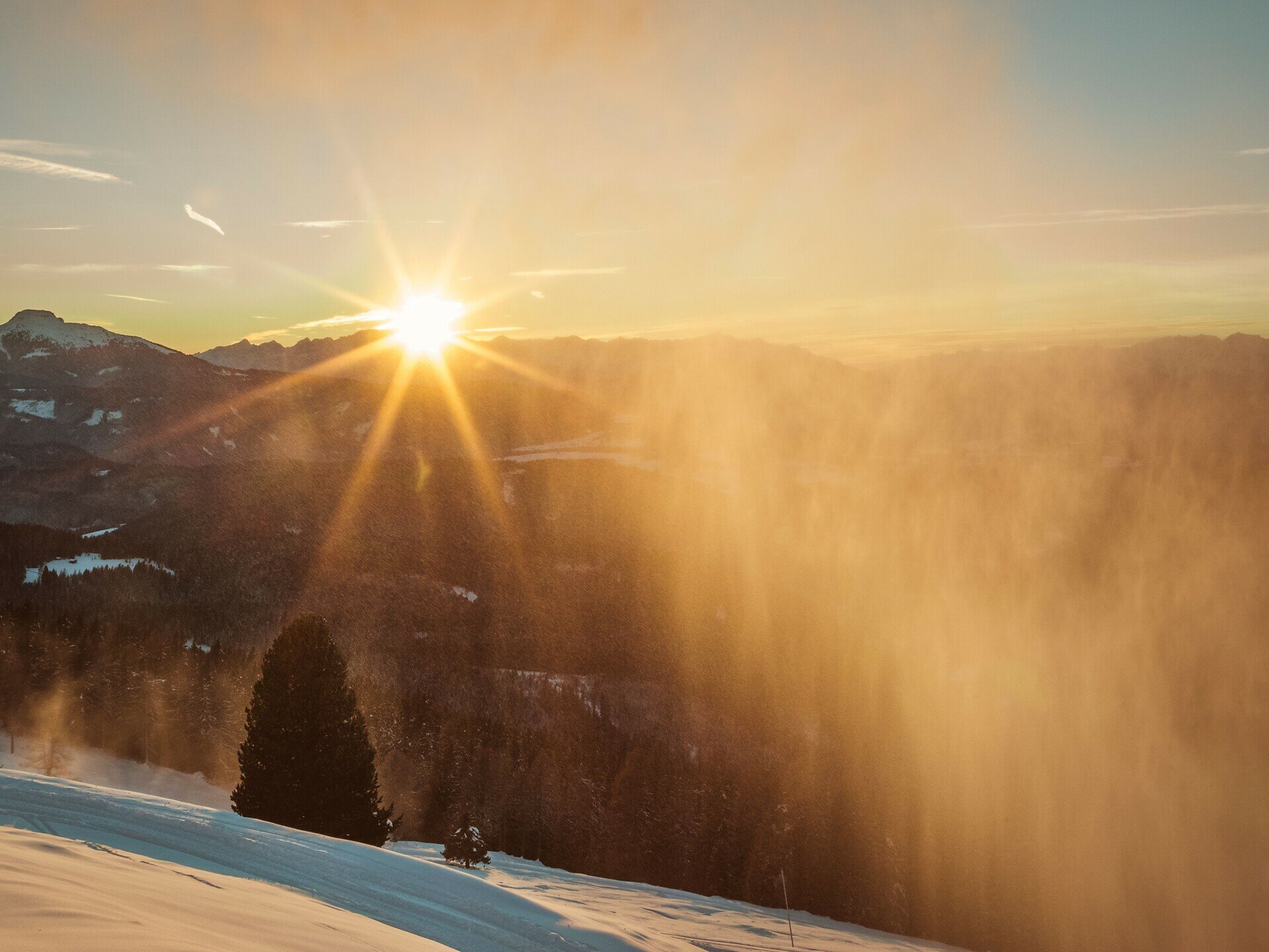
This winter hike follows a leisurely route from Lake Carezza (Karer See | Lago di Carezza) through snow-covered forests to the Frin meadows and continues to the Frommer Alm hut. Along the way, the path offers beautiful views of the surrounding Dolomites, particularly the imposing Rosengarten | Catinaccio. The destination of the hike is the Frommer Alm hut, which is perfect for a well-deserved break. Here, you can enjoy regional specialties in a cozy atmosphere and fully savor the winter ambiance.

Tags
  • Linear route
Route info
Easy
Distance
5,3 km
Activity time
1 h 40 min
Ascent
274 m
Descent
92 m
Technical skills
Physical effort
Scenary
Highest point
1.766 m
Lowest point
1.527 m
You might be interested in
Discover related tours
Welschnofen
Winter hike on the Sissi Promenade in Karersee | Carezza
Distance 10,8 km
Activity time 2 h 58 min
Ascent 220 m
Descent 220 m
Intermediate
Add to favourites
Deutschnofen
Winter hike from Eggen/Ega to the Grotthof
Distance 4,0 km
Activity time 1 h 25 min
Ascent 183 m
Descent 182 m
Intermediate
Add to favourites
Welschnofen, Karersee
Winter hike from the Karerpass | Passo Costalunga to Lake Carezza
Distance 4,7 km
Activity time 1 h 10 min
Ascent 11 m
Descent 221 m
Welschnofen
Winter hike from the Frommer Alm hut to Ochsenhütte hut
Distance 4,2 km
Activity time 1 h 10 min
Ascent 104 m
Descent 104 m
Steinegg
Star village circular hike in Steinegg|Collepietra in winter
Distance 4,3 km
Activity time 1 h 17 min
Ascent 171 m
Descent 171 m
Karersee, Welschnofen
Winter alpine hut hike from Karersee | Carezza to Welschnofen | Nova Levante
Distance 19,5 km
Activity time 5 h 19 min
Ascent 346 m
Descent 821 m