Top

Winter hike from the Laab hut to the Neuhütt hut

Deutschnofen
Add to favourites
Category
Difficulty
Intermediate
Activity time
1:35
Duration in hours
Distance
5.6
Distance in km
WSEN
Suggested period
Jan
Feb
Mar
Apr
May
Jun
Jul
Aug
Sep
Oct
Nov
Dec
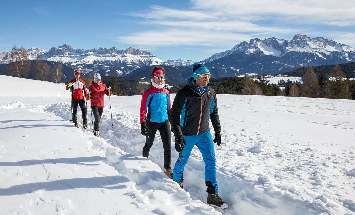
Relaxed winter hike from Laab Alm to Neuhütt Alm – through snowy forests and peaceful nature. Perfect for families and those seeking quiet moments.
The winter hike from Laab Alm to Neuhütt Alm offers a peaceful nature experience for those who enjoy quiet moments. The trail gently winds through snow-covered forests and open clearings, surrounded by the stillness of the winter landscape. With each step, the crunch of snow and the crisp mountain air create a sense of calm and connection to nature. At the Neuhütt Alm, a warm welcome and delicious South Tyrolean dishes await in a cozy alpine setting. This hike is perfect for anyone seeking to slow down, enjoy the winter silence, and share the moment – whether alone, as a couple, or with the whole family.
Route info
Intermediate
Distance
5,6 km
Activity time
1 h 35 min
Ascent
140 m
Descent
140 m
Technical skills
Physical effort
Scenary
Highest point
1.787 m
Lowest point
1.647 m
Directions

The hike starts at Laab Alm at 1,649 m, which is accessible by car even in winter. From the hut, follow the forest trail [1], a wide and gently ascending path through snow-covered woods.
Along the way, enjoy the peaceful atmosphere and scenic views of the winter landscape. After about 45 minutes, you’ll reach Neuhütt Alm, where you can warm up and enjoy traditional South Tyrolean cuisine.
For the return, simply follow trail [1] back to Laab Alm.

public transportation

Getting to the starting point of the tour by public transport is easy and convenient.

By public bus line:
- 181 from Bozen | Bolzano
- 184 from Karersee | Lago di Carezza, Karerpass | Passo Costalunga, Welschnofen | Nova Levante
- 184 or 181 from Deutschnofen | Ponte Nova, Stenk
- 184 from Eggen | Ega, Obereggen
- 181 or 184 from Weissenstein | Pietralba, Petersberg | Monte San Pietro
- 182 (change 181 o 184) from Steinegg | Collepietra, Gummer | San Valentino
- 180 (change 181 o 184) from Val di Fassa

Bus stop: Deutschnofen | Nova Ponente, Bar Luise; online timetable search at www.suedtirolmobil.info/en/
Meeting Point: Laab Alm: https://goo.gl/maps/KchtTwNgUikL7h73A
How to get there

Getting to the starting point of the tour by public transport is easy and convenient.

By public bus line:
- 181 from Bozen | Bolzano
- 184 from Karersee | Lago di Carezza, Karerpass | Passo Costalunga, Welschnofen | Nova Levante
- 184 or 181 from Deutschnofen | Ponte Nova, Stenk
- 184 from Eggen | Ega, Obereggen
- 181 or 184 from Weissenstein | Pietralba, Petersberg | Monte San Pietro
- 182 (change 181 o 184) from Steinegg | Collepietra, Gummer | San Valentino
- 180 (change 181 o 184) from Val di Fassa

Bus stop: Deutschnofen | Nova Ponente, Bar Luise; online timetable search at www.suedtirolmobil.info/en/
Meeting Point: Laab Alm: https://goo.gl/maps/KchtTwNgUikL7h73A
By car:
Destination: Deutschnofen | Nova Ponente
Parking: Parking lot Bar Luise
Meeting Point: Laab Alm: https://goo.gl/maps/KchtTwNgUikL7h73A

Where to park
Parking: Parking lot Bar Luise
Meeting Point: Laab Alm: https://goo.gl/maps/KchtTwNgUikL7h73A
You might be interested in
Discover related tours
Intermediate
Add to favourites
Deutschnofen
Winter hike from Nova Ponente to Unterkaplun to the Wölflhof farm
Distance 7,5 km
Activity time 2 h 05 min
Ascent 194 m
Descent 195 m
Welschnofen
Winter hike from Welschnofen | Nova Levante to the Schillerhof hut
Distance 8,2 km
Activity time 2 h 34 min
Ascent 429 m
Descent 429 m
Deutschnofen
Winter hike to the Lieg hut
Distance 8,3 km
Activity time 2 h 40 min
Ascent 474 m
Descent 469 m
Welschnofen
Middle winter circular hike at Lake Carezza
Distance 2,5 km
Activity time 42 min
Ascent 73 m
Descent 73 m
Welschnofen
Winter hike to the Frin meadows in Karersee | Carezza
Distance 4,0 km
Activity time 1 h 10 min
Ascent 141 m
Descent 141 m
Deutschnofen
Winter hike to the place of pilgrimage Maria Weissenstein and the Petersberger Leger hut
Distance 2,4 km
Activity time 40 min
Ascent 68 m
Descent 66 m