







Difficulty
EasyActivity time
1:45
Duration in hours
Distance
5.7
Distance in km
Status
open
Categories
Tags
Hike to a cave dwelling with a special history near Steinegg|Collepietra.
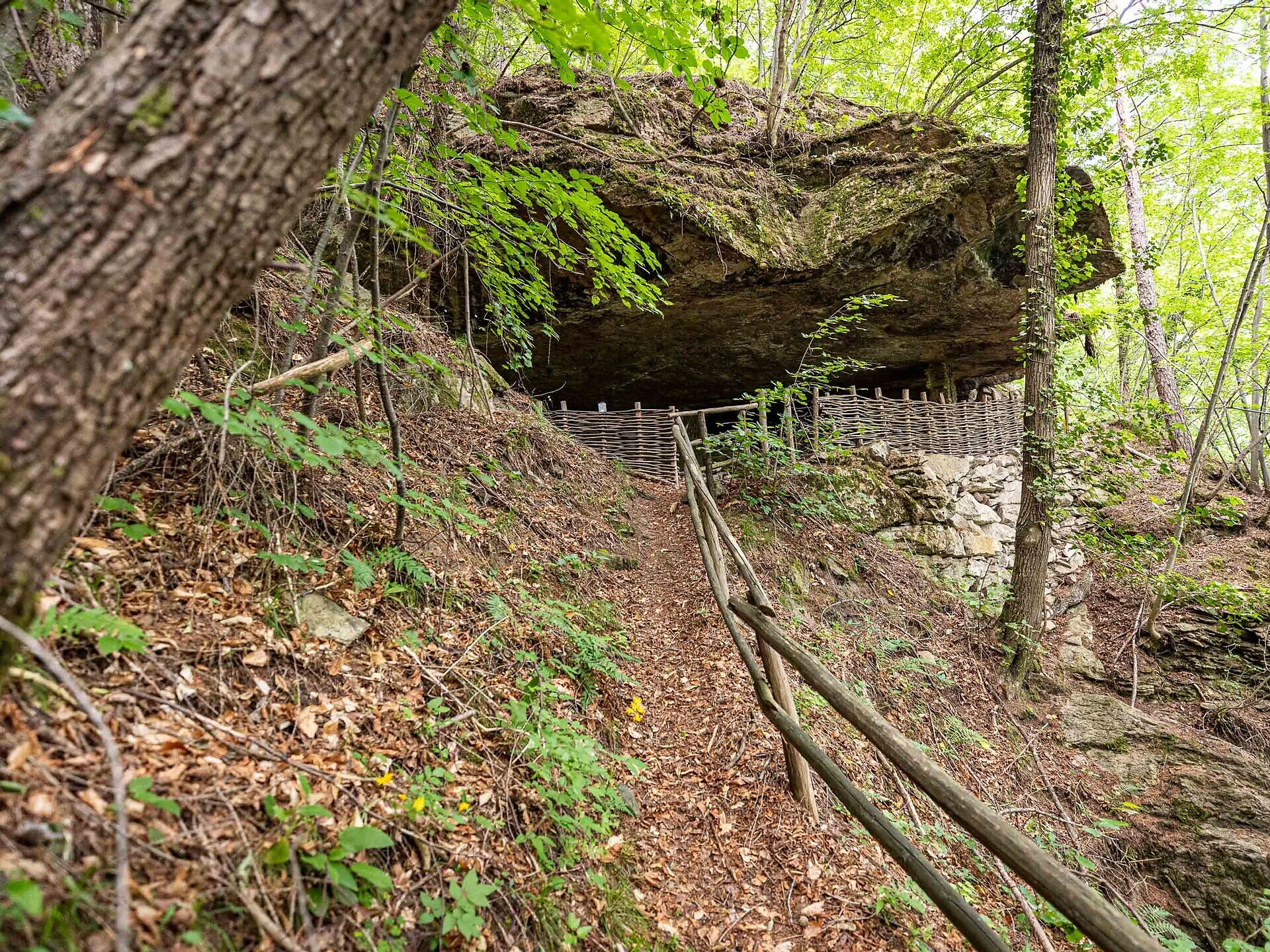
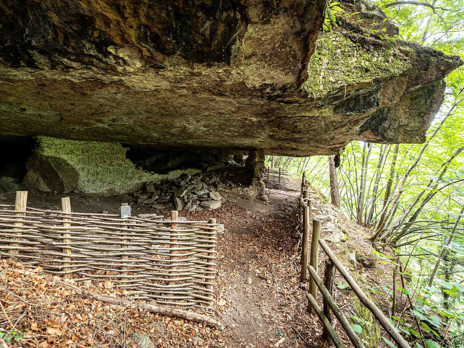
The cave dwelling "Mortner Gufl" is located on the old carriage road, which at that time connected Steinegg|Collepietra with Kardaun|Cardano and Bozen|Bolzano. About 500 m from the farm Mortner in the direction of Kardaun|Cardano, there is an extensive, flat square with a thick stone slab hanging over it, as if it wanted to provide a protective roof for the little place. It is said that a hermit, the "Mortner Hias", lived here during the First World War. He even set up a farm oven in this natural dwelling and walled the place up. The hermit wove baskets here. During the Second World War, this place was used as an air-raid shelter for the inhabitants of the nearby farm Mortner. Some remains of the wall can still be discovered and admired today.
In 1951, there is also said to have been an apparition of the Virgin Mary at this special place.
A descriptive board on site tells of these extraordinary occurrences at the cave dwelling "Mortner Gufl".
The return is via the same route, totaling approximately 1 hour and 40 minutes for the round trip.
Important note: There are no refreshment stops along the entire route. However, at the start and end point in Steinegg|Collepietra, you will find several restaurants, cafés, and two shops.
In 1951, there is also said to have been an apparition of the Virgin Mary at this special place.
A descriptive board on site tells of these extraordinary occurrences at the cave dwelling "Mortner Gufl".
The return is via the same route, totaling approximately 1 hour and 40 minutes for the round trip.
Important note: There are no refreshment stops along the entire route. However, at the start and end point in Steinegg|Collepietra, you will find several restaurants, cafés, and two shops.
Gallery
You might be interested in
Discover related tours


