Top

Randonnée d'hiver du lac de Karer à Obereggen via le "Templweg"

Deutschnofen, Welschnofen
Add to favourites
Category
Difficulty
Easy
Activity time
1:55
Duration in hours
Distance
7.1
Distance in km
WSEN
Suggested period
Jan
Feb
Mar
Apr
May
Jun
Jul
Aug
Sep
Oct
Nov
Dec
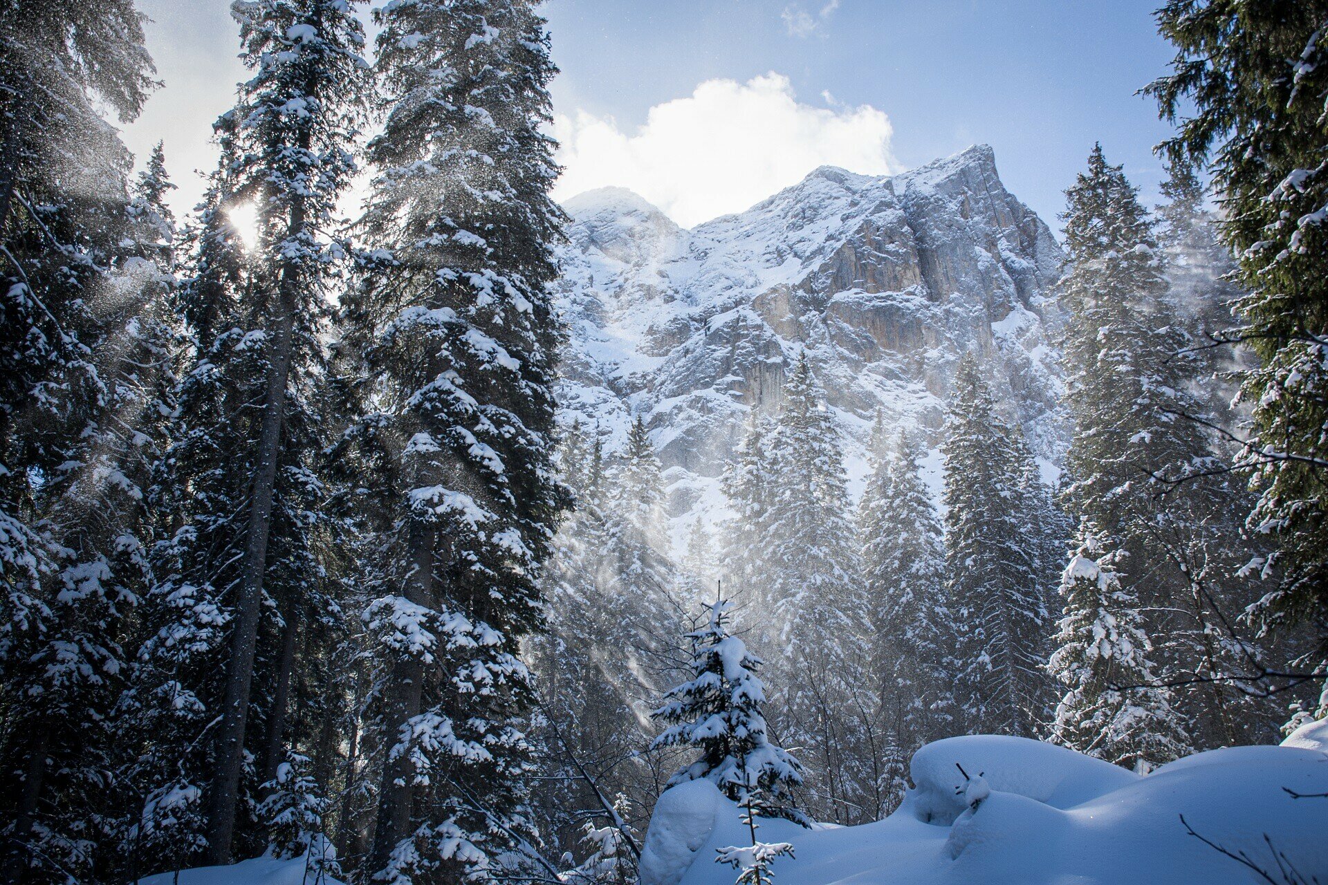
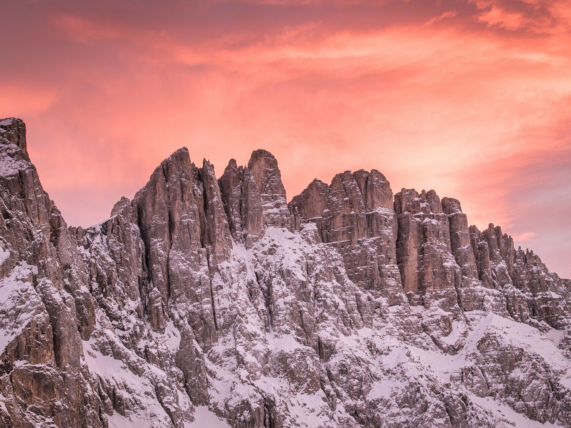
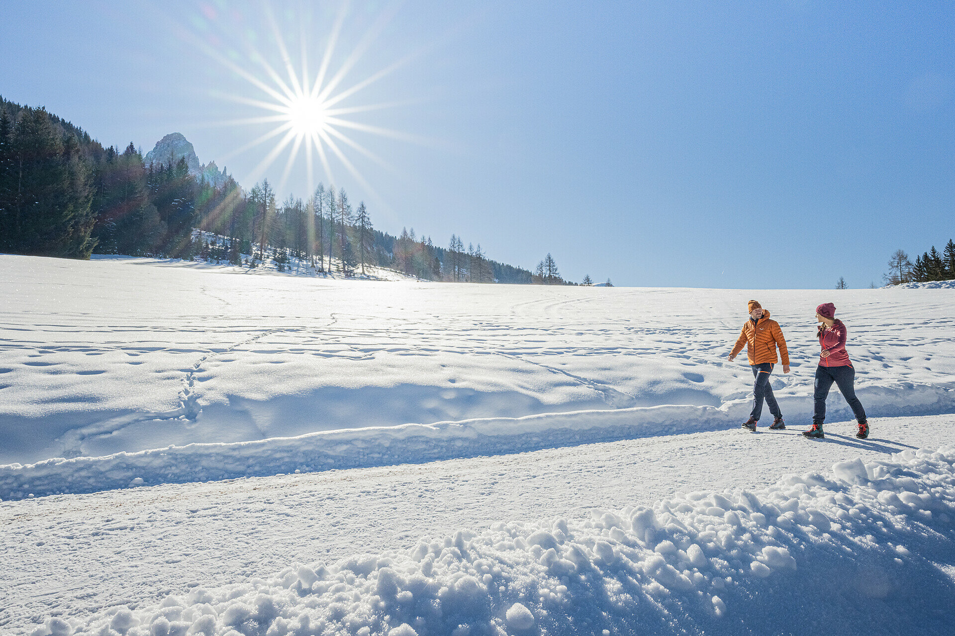
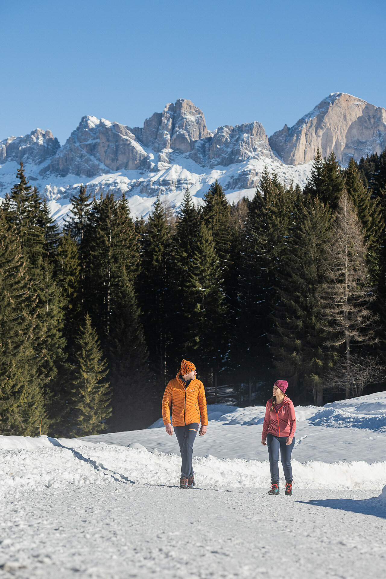
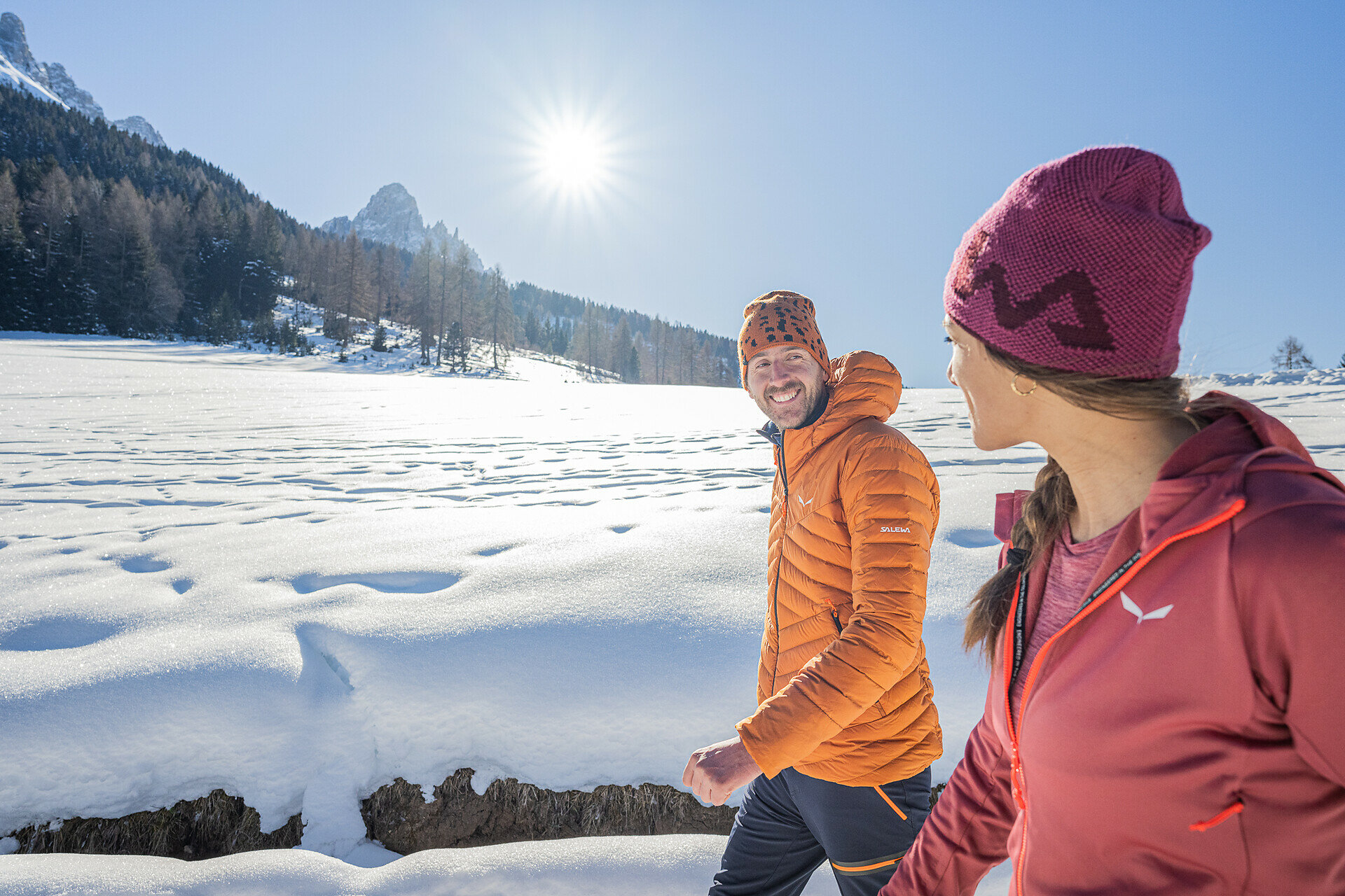
Winter hike from Lake Carezza to Obereggen through snowy forests with views of the Latemar – ideal for nature lovers, those seeking peace, and connoisseurs.

This winter hike from Lake Carezza to Obereggen is a quiet natural experience with enchanting Dolomite flair. The path leads through deeply snow-covered forests, past sunny clearings and historic farmsteads, nestled in a unique winter landscape. Time and again, impressive views open onto the Latemar massif and the surrounding peaks. The clear air, the crunching steps in the snow, and the peaceful silence make this route a special experience for all who seek deceleration, nature, and authentic winter enjoyment.

Tags
  • Linear route
Route info
Easy
Distance
7,1 km
Activity time
1 h 55 min
Ascent
77 m
Descent
90 m
Technical skills
Physical effort
Scenary
Highest point
1.571 m
Lowest point
1.481 m
You might be interested in
Discover related tours
Welschnofen, Karersee
Balade hivernale de l'Alm Frommer à la cabane de montagne Messnerjoch
Distance 7,8 km
Activity time 2 h 23 min
Ascent 352 m
Descent 352 m
Intermediate
Add to favourites
Deutschnofen
Promenade d'hiver de Laab Alm à Neuhütt Alm
Distance 5,6 km
Activity time 1 h 35 min
Ascent 140 m
Descent 140 m
Deutschnofen
Winter Hike from Obereggen to the Eggentaler Almen
Distance 11,3 km
Activity time 3 h 40 min
Ascent 524 m
Descent 524 m
Intermediate
Add to favourites
Steinegg, Welschnofen
Winter hike at Obergummer
Distance 11,9 km
Activity time 3 h 27 min
Ascent 391 m
Descent 391 m
Deutschnofen
Winter hike to the huts Schönrast - Schmieder - Lahner
Distance 15,5 km
Activity time 4 h 30 min
Ascent 491 m
Descent 491 m
Intermediate
Add to favourites
Welschnofen
Balade hivernale de Welschnofen au lac Karer
Distance 9,0 km
Activity time 2 h 54 min
Ascent 518 m
Descent 518 m