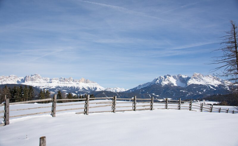
The tour runs easily from Karer See/Lago di Carezza partly through the forest and along the street Schönblickweg/Via Bellavista to the Tschein Panoramic Chairlift.
Above the Karer See/Lago di Carezza, from trail [10], first cross the main road and then follow the Schönblickweg/Via Bellavista. After 300 m, a path branches off to the right that leads through the forest to a meadow. Then follow trail [9A] briefly downhill until you reach the Schönblickweg/Via Bellavista again and continue along the road/trail [16] to the Tschein chairlift at the Hotel Moseralm.
Il punto di partenza del tour è comodamente raggiungibile con i mezzi pubblici.
Con la linea autobus:
- 180 da Bolzano, Val di Fassa
- 180 da Nova Levante, Lago di Carezza
- 180 da Ponte Nova
- 184 e cambio 180 da Obereggen, Ega
- 181 e cambio 180 da Pietralba, Monte San Pietro, Nova Ponente, Stenk
- 187 da Collepietra, San Valentino
Fermata: Grand Hotel; ricerca dell’orario online sul sito: https://www.suedtirolmobil.info/it/
Località: https://goo.gl/maps/aLET1LLD5CJRNAhj7
In auto:
Destinazione: Nova Levante
Parcheggio: Parcheggio Paolina
Località: https://goo.gl/maps/aLET1LLD5CJRNAhj7
Località: https://goo.gl/maps/aLET1LLD5CJRNAhj7


