Top

Boucle de randonnée à Taltbühl vers Totmoos et la fosse du loup

Steinegg, Welschnofen
Add to favourites
Difficulty
Intermediate
Activity time
2:58
Duration in hours
Distance
10.3
Distance in km
Status
open
Quiet forests, Totmoos biotope & wolf pit: a peaceful loop hike in Obergummer|San Valentino di Sopra with panoramic views and picnic spots in the heart of nature.

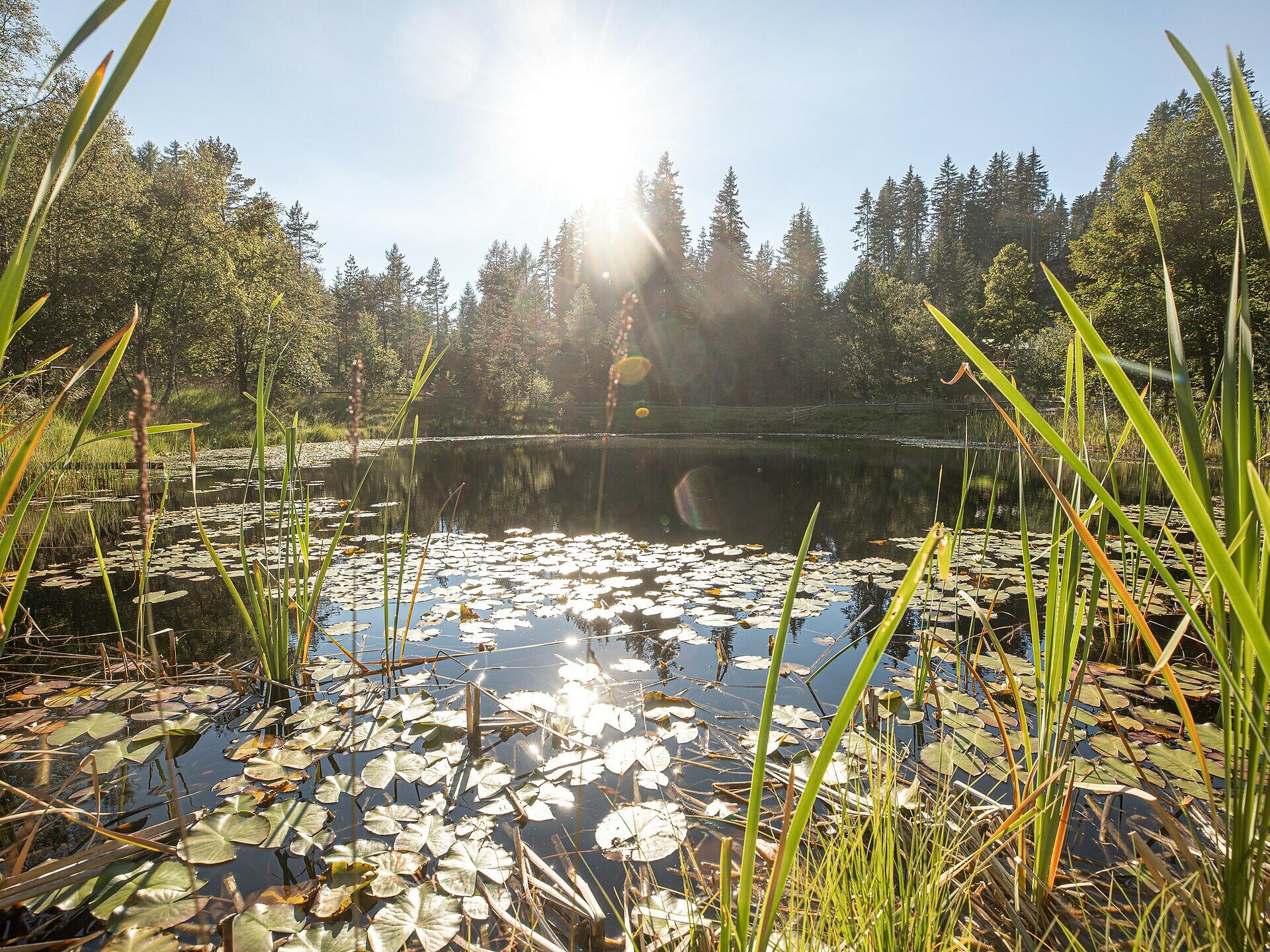
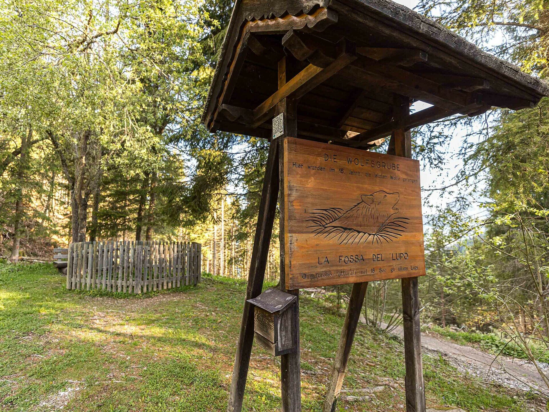
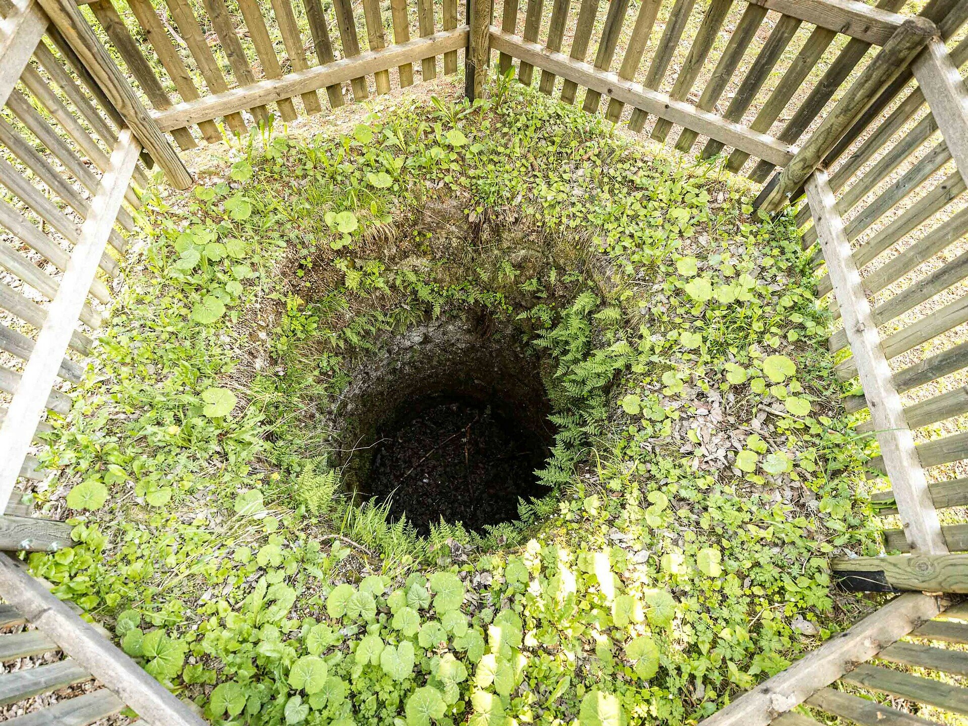
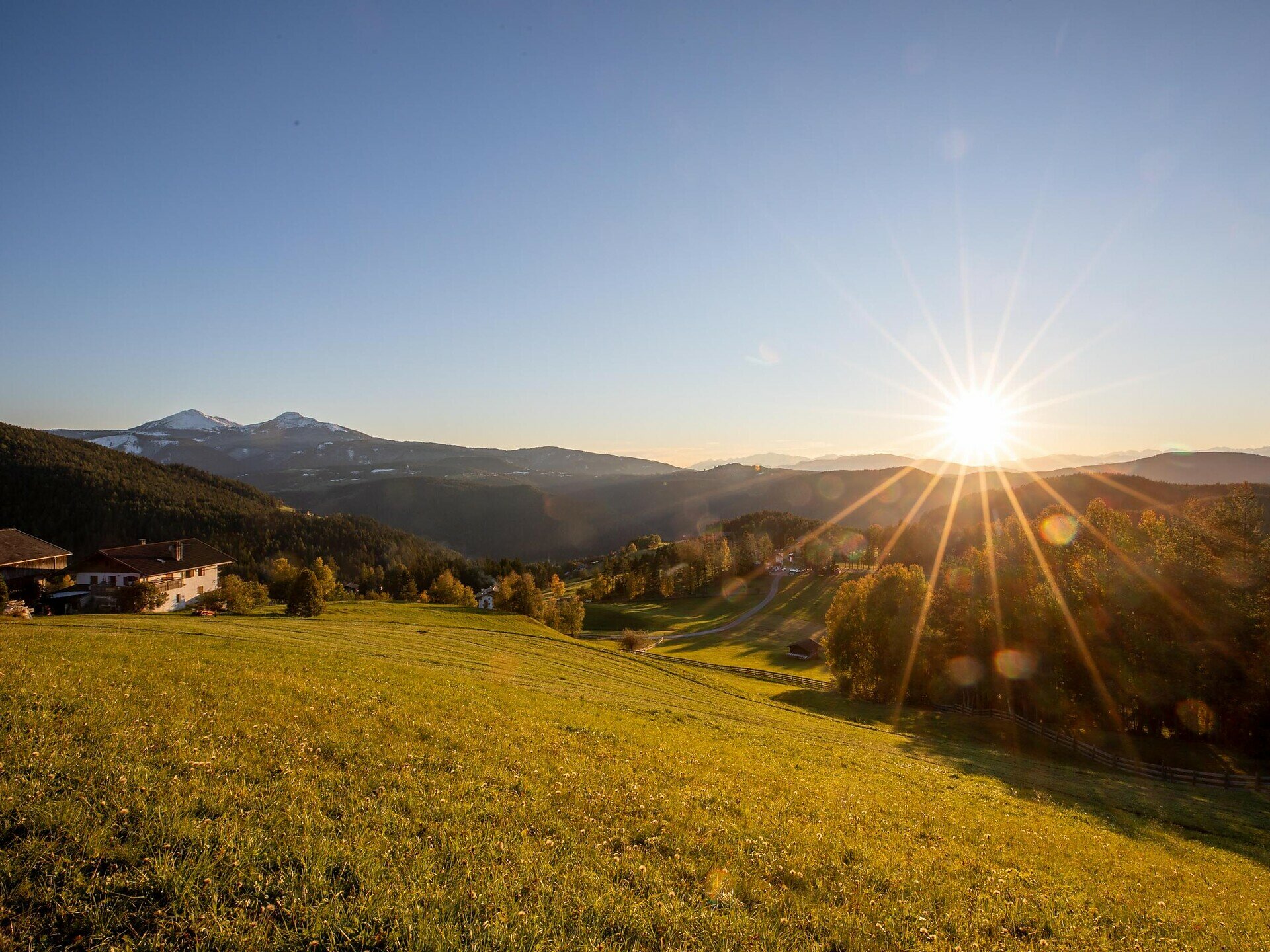
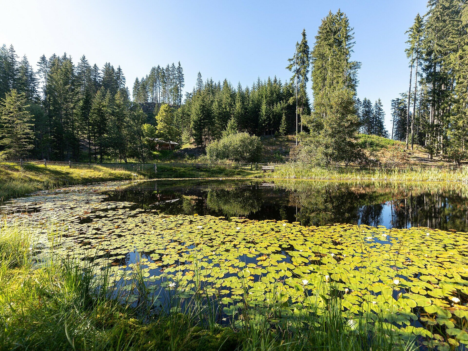
This circular hike in Obergummer|San Valentino di Sopra, located in the municipality of Karneid|Cornedo all'Isarco, leads you through quiet forests, gentle hills and past two unique places: the natural landmark Totmoos, an idyllic pond-like biotope with water lilies, and the historic wolf pit, one of the last remaining of its kind in the region – a place full of history surrounded by greenery.

At the Totmoos biotope, benches invite you to take a relaxing break – perfect for a picnic in the heart of nature. For a more rustic experience, the nearby unmanaged forest hut offers a covered table and benches – ideal for a quiet pause.

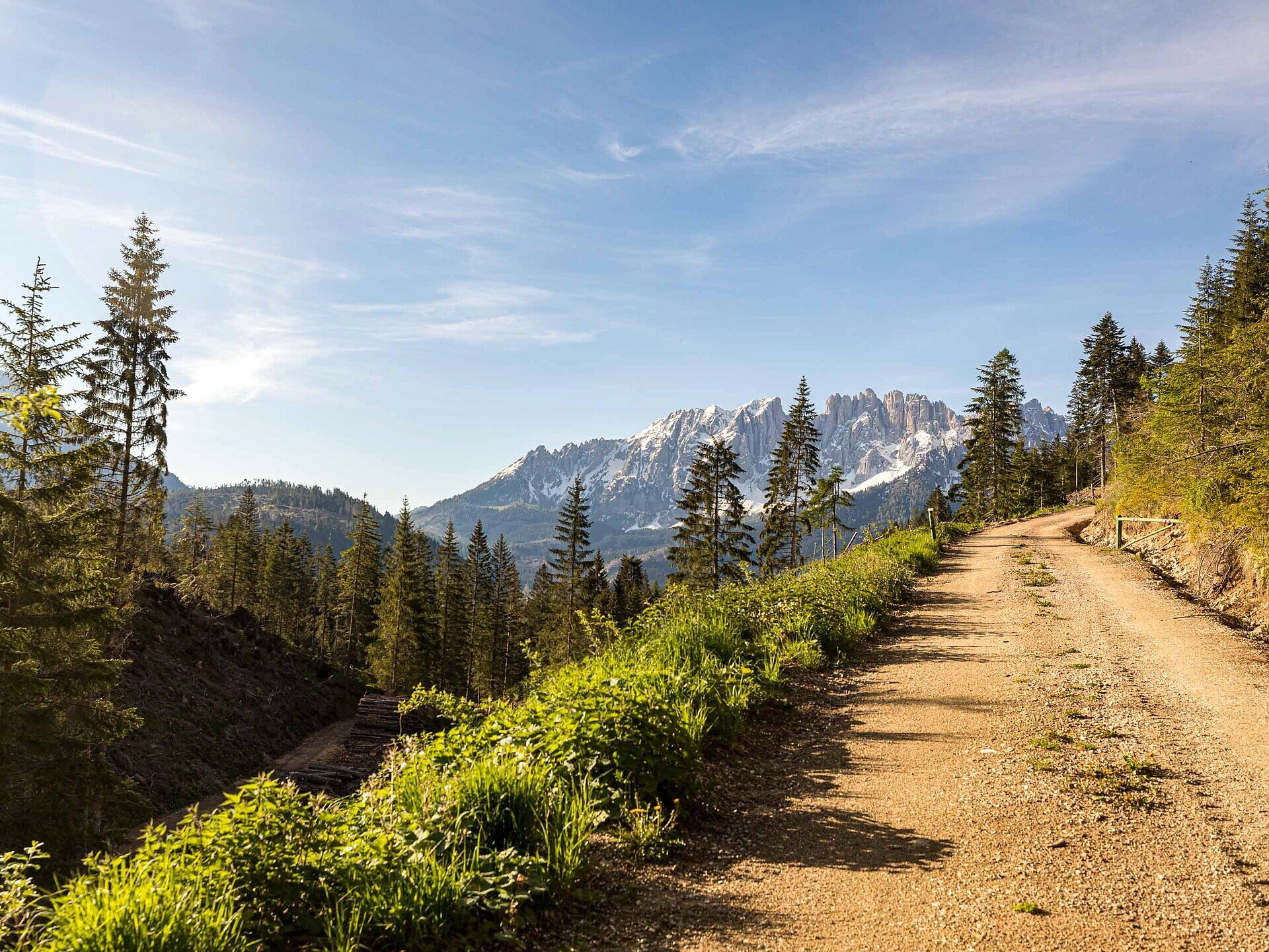
Time and again, the trail opens up to panoramic views of the Rosengarten|Catinaccio massif, the Schlern|Sciliar and the Tiers|Tires Valley – a scenic hike that combines natural beauty with peaceful moments. Ideal for those who appreciate tranquillity.

Please note: There are no refreshment stops along the trail. However, during the summer months, you can make a detour to the malga Hagner hut to enjoy some food and drink.
Distance from the wolf pit to malga Hagner hut: 2.5 km – about 40 minutes on foot.
Gallery
Tags
  • Round trip
Route info
Intermediate
Distance
10,3 km
Activity time
2 h 58 min
Ascent
377 m
Descent
376 m
Physical effort
Scenary
Highest point
1.630 m
Lowest point
1.344 m
You might be interested in
Discover related tours
Deutschnofen
LATEMAR.NATURA
Distance 3,1 km
Activity time 1 h 07 min
Ascent 151 m
Descent 150 m
Status
open
Obereggen, Deutschnofen
LATEMAR.PANORAMA : randonnée familiale sur le sentier nature
Distance 10,6 km
Activity time 3 h 50 min
Ascent 471 m
Descent 991 m
Status
open
Karersee
Randonnée familiale du refuge Paolina au refuge Rotwand et au refuge Pederiva
Distance 3,9 km
Activity time 1 h 13 min
Ascent 208 m
Descent 208 m
Status
open
Obereggen, Deutschnofen
Randonnée d'Obereggen au Lavazè
Distance 15,0 km
Activity time 4 h 41 min
Ascent 585 m
Descent 585 m
Status
open
Deutschnofen
Randonnée en famille vers l'alpage de Laab et l'alpage de Neuhütt
Distance 13,6 km
Activity time 4 h 05 min
Ascent 461 m
Descent 461 m
Status
open
Deutschnofen, Welschnofen
Hike & Bike: Deutschnofen | Nova Ponente - Obereggen - Lake Carezza
Distance 22,5 km
Activity time 6 h 07 min
Ascent 576 m
Descent 363 m
Status
open
© Gabriel Eisath
Neu
Der offizielle WhatsApp-Kanal von Eggental Tourismus!
Abonniere unseren Kanal

Verpasse keine Neuigkeiten mehr! Folge unserem neuen WhatsApp-Kanal und erhalte aktuelle News, Veranstaltungstipps und besondere Highlights aus dem Eggental direkt auf dein Handy.

Wir freuen uns auf dich!