
Difficulty
IntermediateActivity time
5:00
Duration in hours
Distance
13.1
Distance in km
Status
open
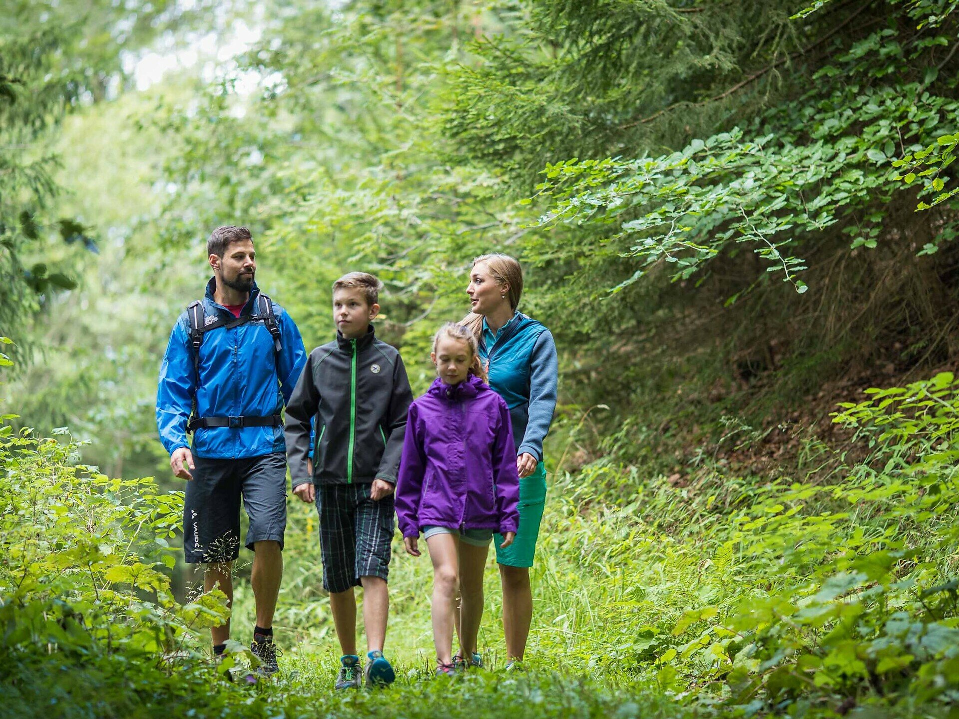
Family-friendly circular hike through shady forests with a few views of the Dolomites and refreshment stops.
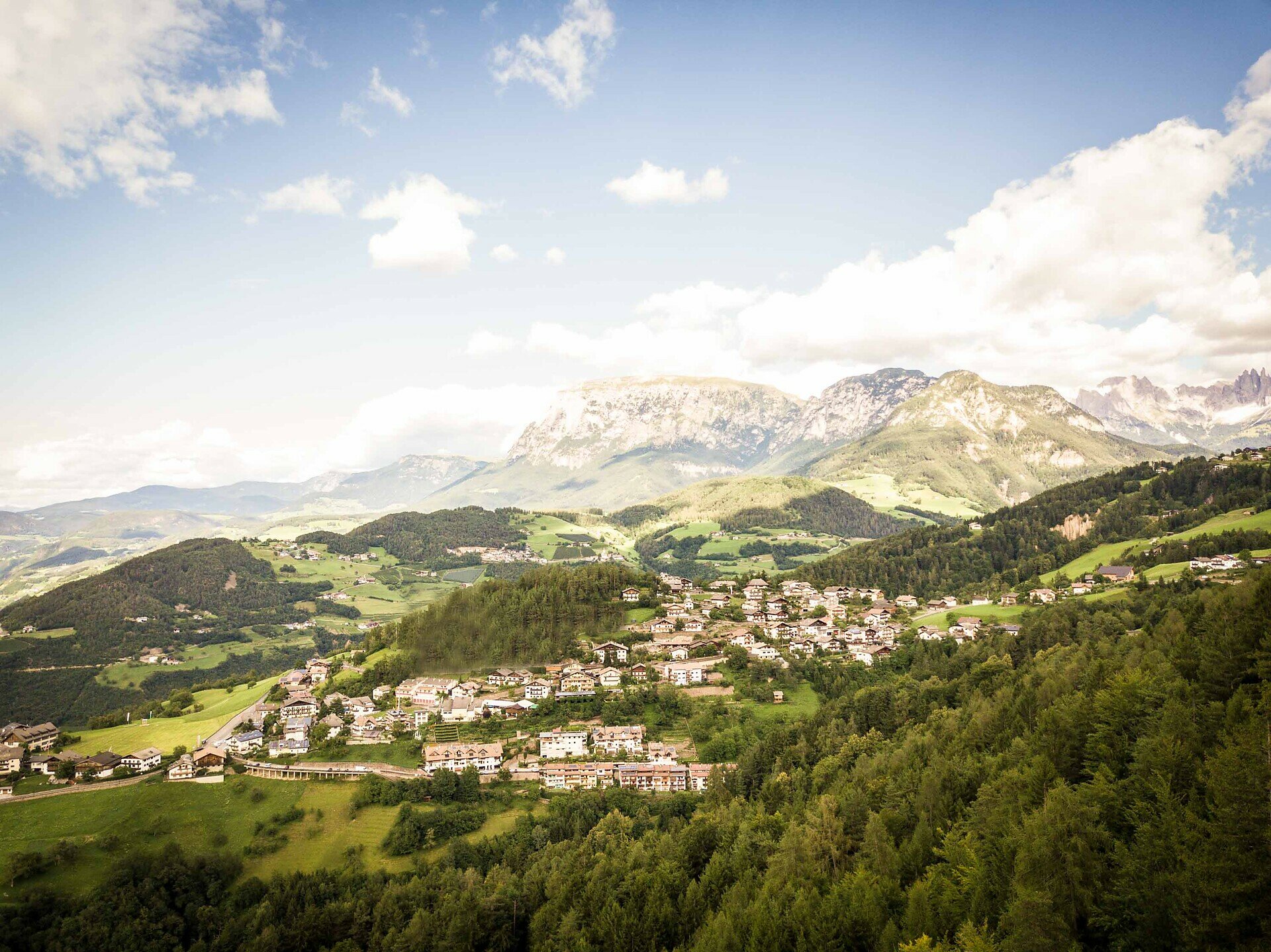
The circular hike on the Steinegg Ridge Way is ideal for families and hikers looking for a varied hike. On well-signposted paths marked with a yellow shoe, the route takes you mainly through sparse forests past individual viewpoints with impressive views of the surrounding mountain panorama, such as the Schlern | Sciliar, the Rosengarten | Catinaccio and the Latemar.
In the summer months, you can easily escape the heat in the woods on this circular tour.
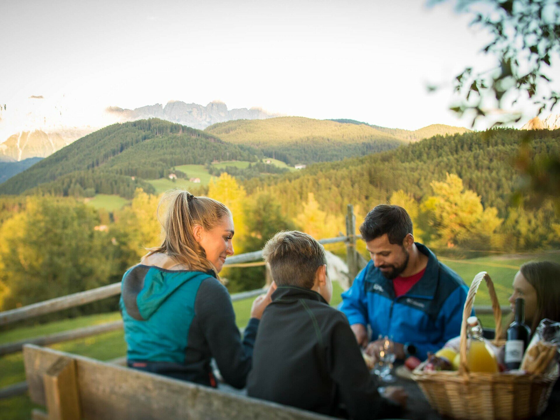
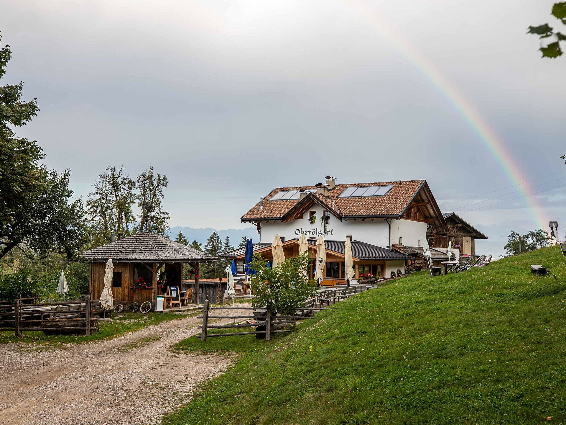
Along the way, benches with tables invite you to take a break and have a picnic. There is also a refreshment stop on the circular hike: the alpine hut Oberölgart. Another place to stop for a break is the Untereggerhof inn. This can be reached via a short detour from the farm Tschigghof to the observatory and is not directly on the tour.
Parts of the tour are suitable for pushchairs and run along wide forest paths. Ask at the information offices in the Eggental | Val d'Ega.
In the summer months, you can easily escape the heat in the woods on this circular tour.
Along the way, benches with tables invite you to take a break and have a picnic. There is also a refreshment stop on the circular hike: the alpine hut Oberölgart. Another place to stop for a break is the Untereggerhof inn. This can be reached via a short detour from the farm Tschigghof to the observatory and is not directly on the tour.
Parts of the tour are suitable for pushchairs and run along wide forest paths. Ask at the information offices in the Eggental | Val d'Ega.
You might be interested in
Discover related tours


