Top

De la localité de Karersee au lac Karer

Welschnofen
Add to favourites
Difficulty
Easy
Activity time
0:27
Duration in hours
Distance
2
Distance in km
Status
open
Categories
  • Hiking trail
Tags
  • Linear route
  • Suitable for strollers
  • Family-friendly
Suggested period
Jan
Feb
Mar
Apr
May
Jun
Jul
Aug
Sep
Oct
Nov
Dec
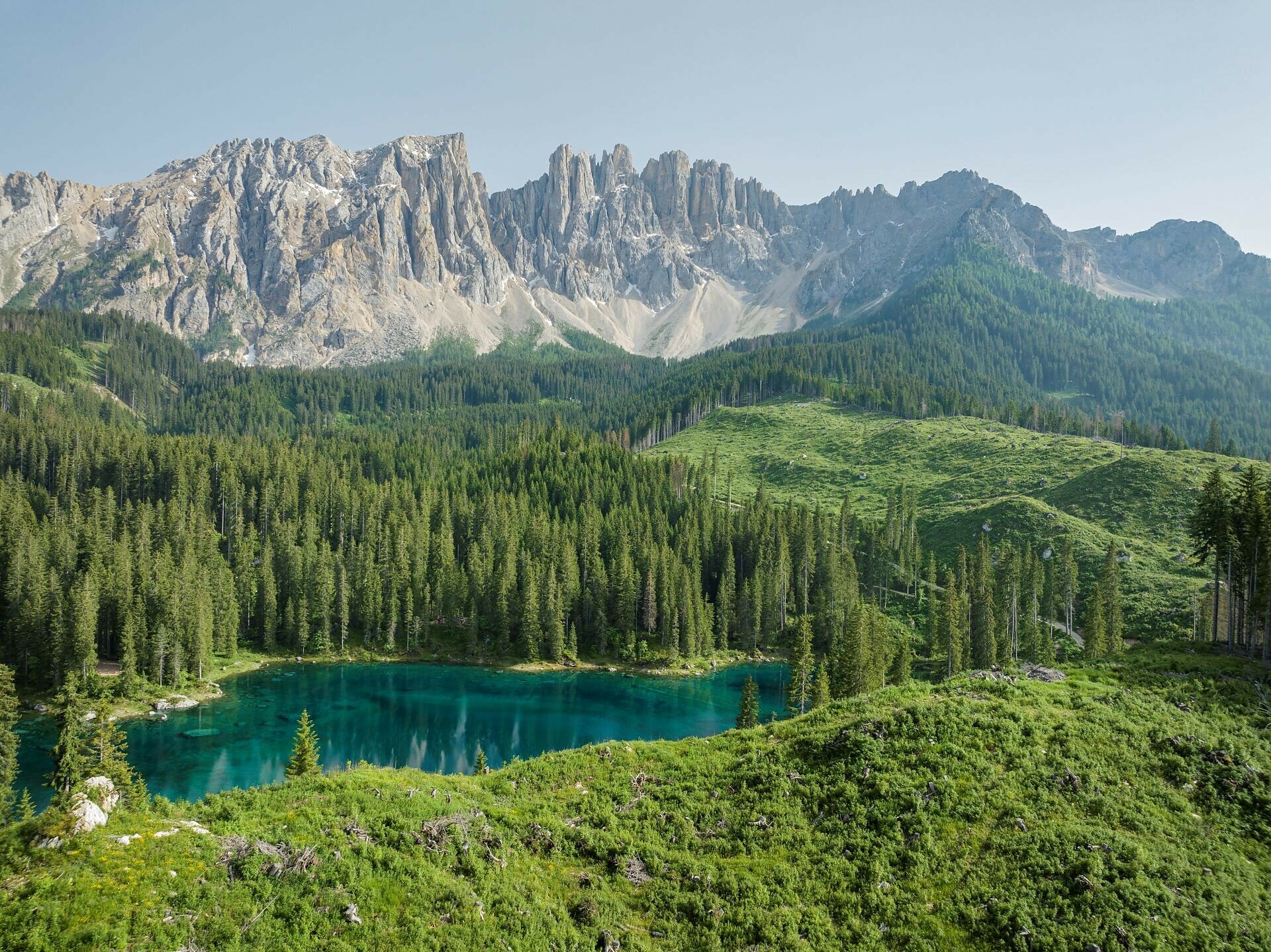
Short, buggy-friendly walk from the village of Karersee | Carezza, starting at the Paolina parking lot, to the turquoise Lake Carezza.
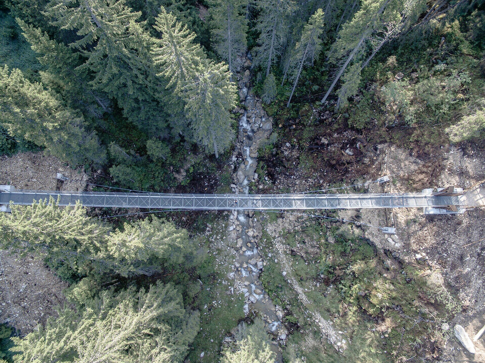
This walking path starts in the holiday village of Karersee | Carezza at the Paolina parking lot and leads in less than half an hour to the turquoise, legendary Lake Carezza. Along the way, you pass the charming St. Josef chapel and the impressive Grand Hotel Karersee | Carezza, and you also cross the suspension bridge built in 2018, which spans a small gorge to the visitor center at Lake Carezza.
Gallery
Categories
  • Hiking trail
Tags
  • Linear route
  • Suitable for strollers
  • Family-friendly
Route info
Easy
Distance
2,0 km
Activity time
27 min
Ascent
12 m
Descent
90 m
Physical effort
Scenary
Highest point
1.634 m
Lowest point
1.536 m
Suggestions
Refreshment stops:
You might be interested in
Discover related tours
Intermediate
Add to favourites
Karersee, Welschnofen
Par le sentier Hirzel jusqu'au monument Christomannos
Distance 8,6 km
Activity time 2 h 38 min
Ascent 399 m
Descent 399 m
Status
open
Intermediate
Add to favourites
Karersee, Deutschnofen, Obereggen, Welschnofen
Dolomites World Heritage Geotrail II
Distance 198,2 km
Activity time 54 h 00 min
Ascent 11.589 m
Descent 11.825 m
Status
open
Intermediate
Add to favourites
Steinegg, Welschnofen
Boucle de randonnée à Taltbühl vers Totmoos et la fosse du loup
Distance 10,5 km
Activity time 3 h 00 min
Ascent 377 m
Descent 358 m
Status
open
Welschnofen
Randonnée circulaire de Paolina au lac de Carezza
Distance 5,3 km
Activity time 1 h 29 min
Ascent 97 m
Descent 97 m
Status
open
Welschnofen
De la Frommer Alm au lac Karer
Distance 5,6 km
Activity time 1 h 30 min
Ascent 107 m
Descent 295 m
Status
open
Intermediate
Add to favourites
Steinegg
Chemin des étoiles de Gummer à Steinegg
Distance 12,2 km
Activity time 3 h 27 min
Ascent 334 m
Descent 656 m
Status
closed
© Gabriel Eisath
Neu
Der offizielle WhatsApp-Kanal von Eggental Tourismus!
Abonniere unseren Kanal

Verpasse keine Neuigkeiten mehr! Folge unserem neuen WhatsApp-Kanal und erhalte aktuelle News, Veranstaltungstipps und besondere Highlights aus dem Eggental direkt auf dein Handy.

Wir freuen uns auf dich!