
Top
Randonnée familiale du lac de Karer à l'auberge d'alpage Häusler Sam
Welschnofen, Deutschnofen
Add to favouritesDifficulty
EasyActivity time
3:30
Duration in hours
Distance
13
Distance in km
Status
open
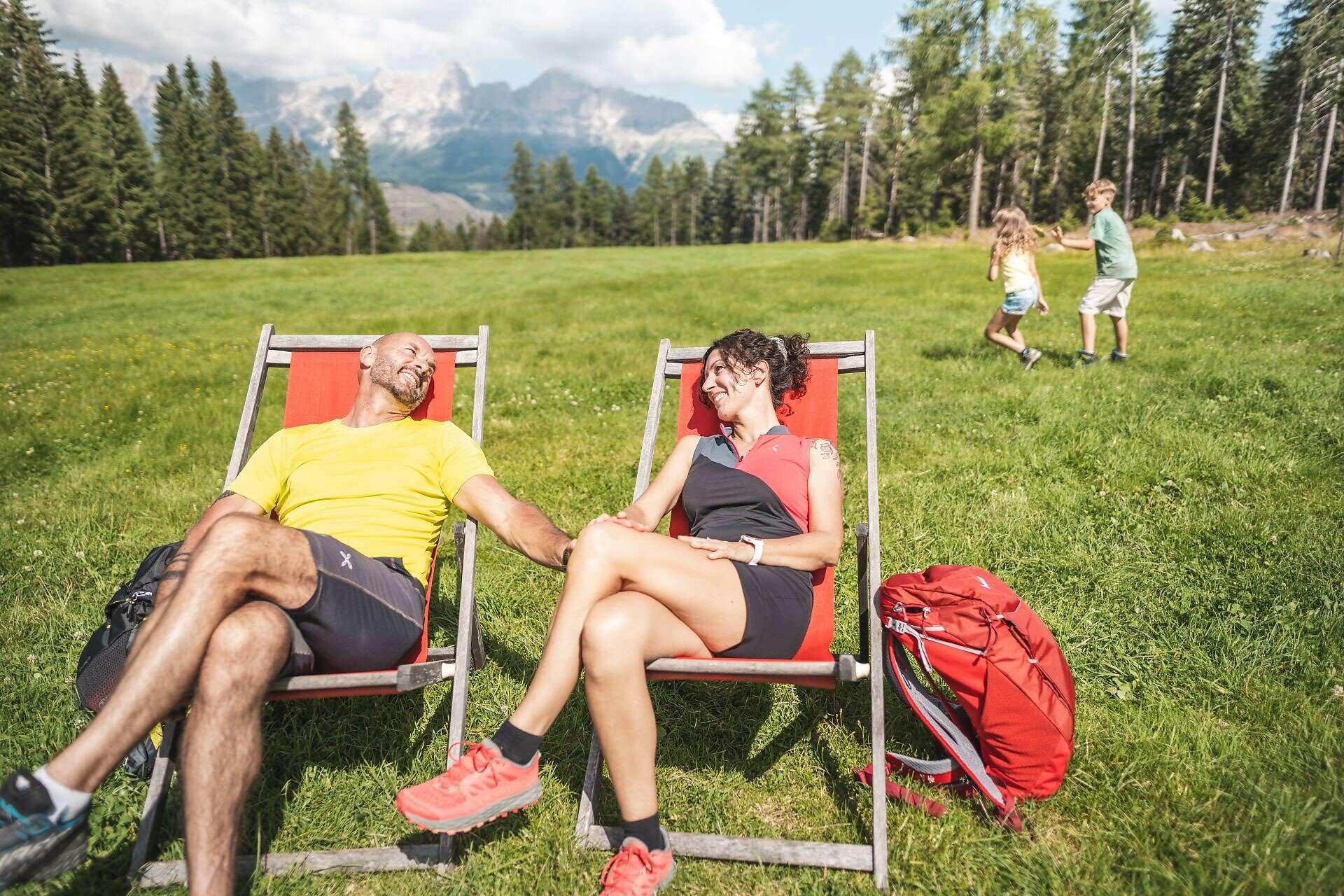
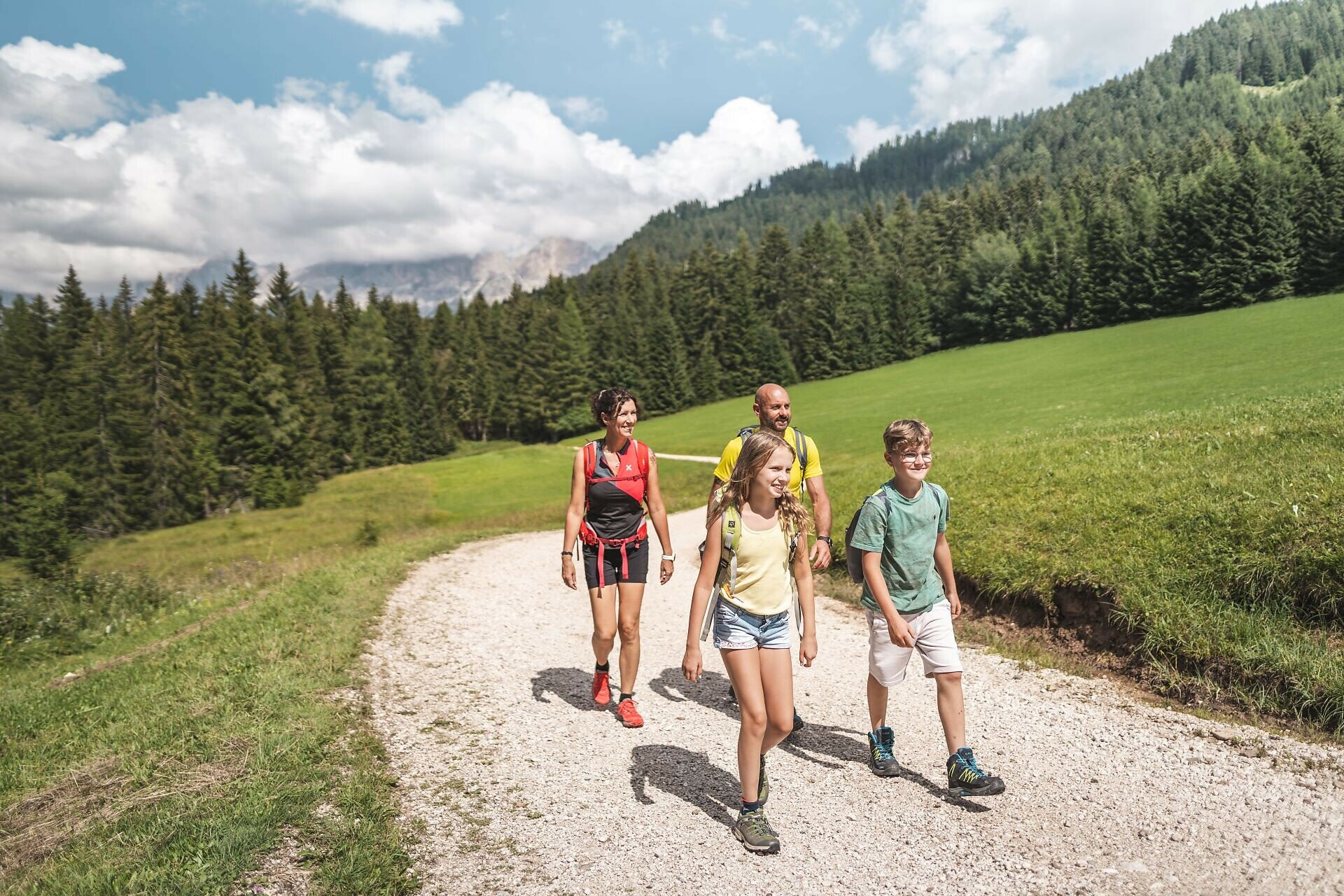
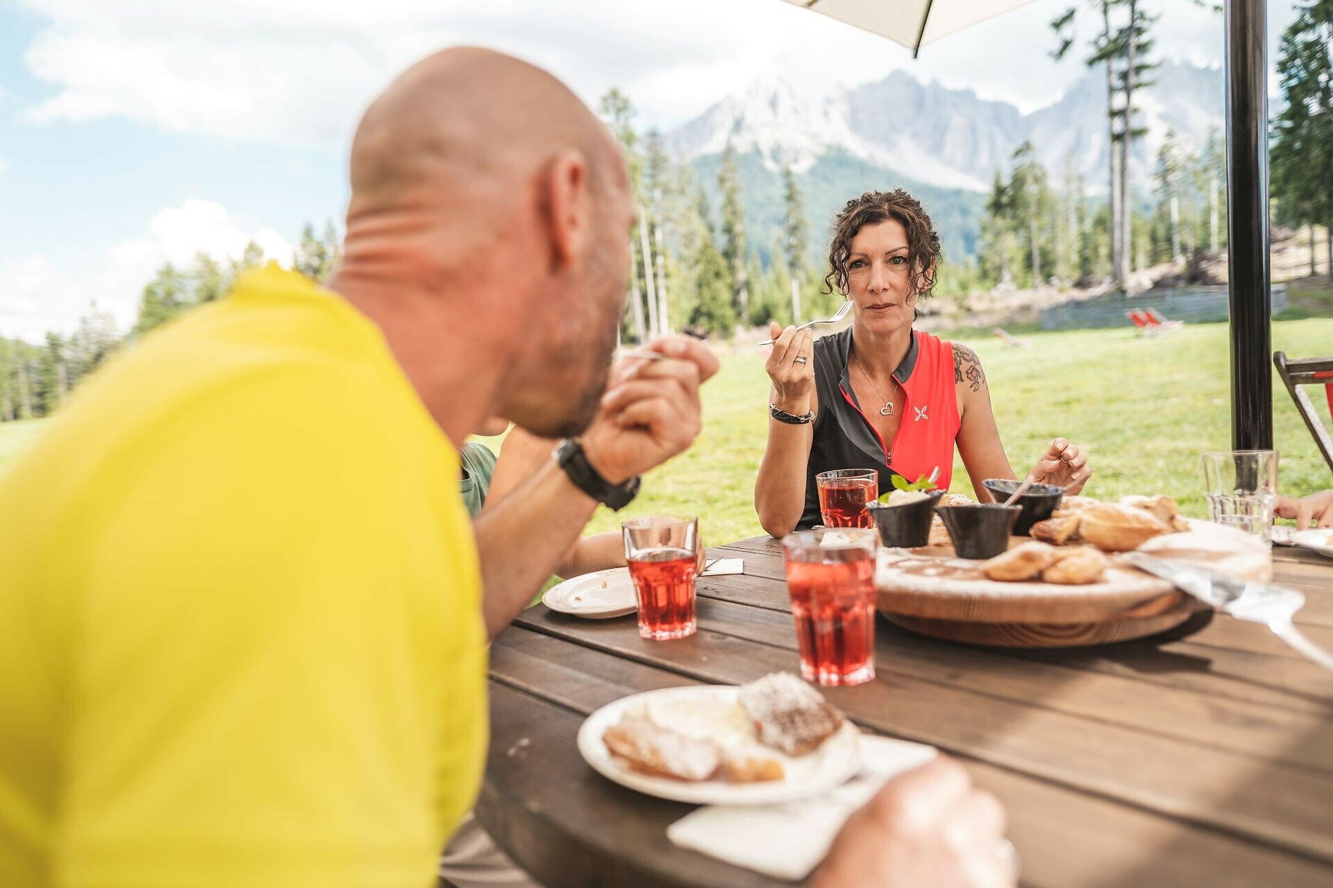
Easy, buggy-friendly hike for young and old to the Häusler Sam hut, idyllically located on a forest meadow. With animals, a sunbathing lawn, and traditional South Tyrolean cuisine.
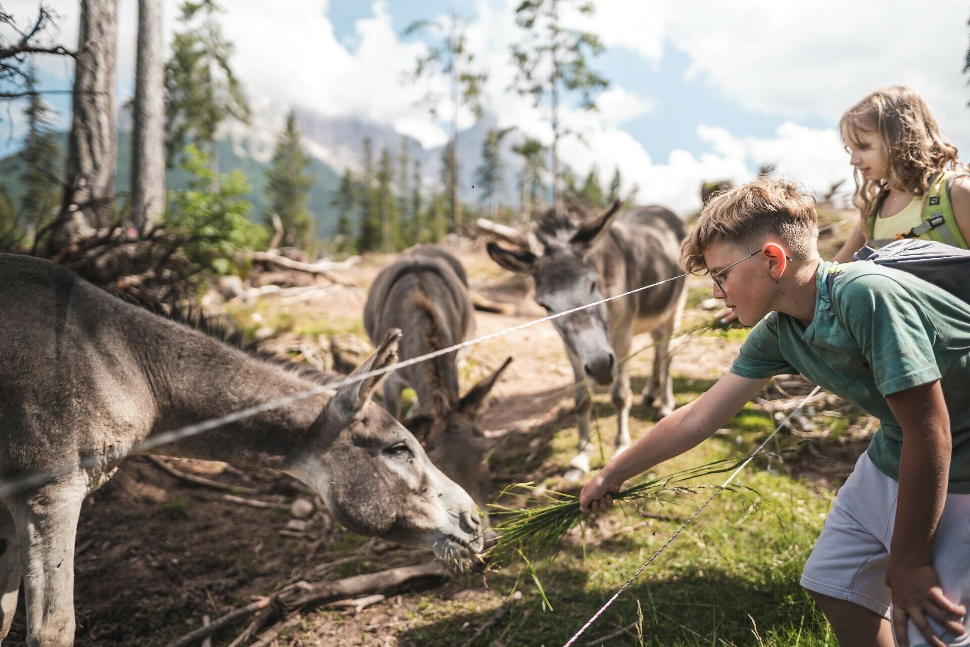
The easy hike through woods and meadows leads to the Häusler Sam hut, which is situated on a meadow surrounded by forest. The trail brings hikers close to the alpine nature of the "Sam Hill". A stop at the Häusler Sam hut is worthwhile to taste one of the many typical dishes of South Tyrolean cuisine, to rest on the lawn or to admire the many animals such as donkeys, cows or ponies.
Gallery
You might be interested in
Discover related tours


