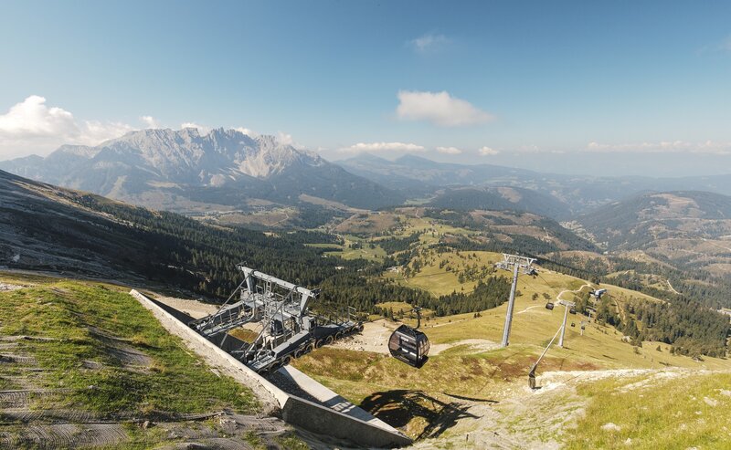
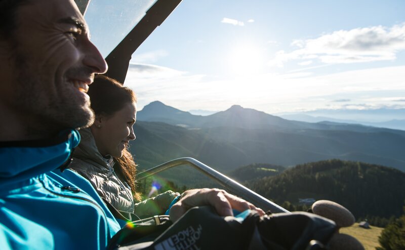
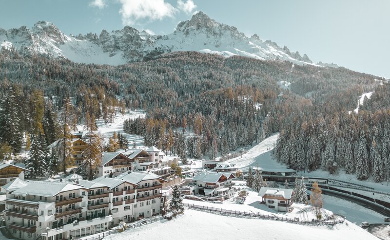
The easy hike through woods and meadows leads to the Häusler Sam hut, which is situated on a meadow surrounded by forest. The trail brings hikers close to the alpine nature of the "Sam Hill". A stop at the Häusler Sam hut is worthwhile to taste one of the many typical dishes of South Tyrolean cuisine, to rest on the lawn or to admire the many animals such as donkeys, cows or ponies.
- Suitable for strollers
- Out and back
- Family-friendly
- Häusler Sam hut - Opening hours and closing day: https://eggental.com/en/info/husler-sam_2557
- Sea Bistro at Lake Carezza - Opening hours and closing day: https://eggental.com/en/info/sea-bistro_5234
From Lake Carezza you reach the Häusler Sam hut after 6.5 km in 1:45h.
Refreshment stops:
- Häusler Sam hut - Opening hours and closing day: https://eggental.com/en/info/husler-sam_2557
- Sea Bistro at Lake Carezza - Opening hours and closing day: https://eggental.com/en/info/sea-bistro_5234
Alternatives return:
There is the possibility to continue the hike from the Häusler Sam hut to Obereggen in 1 hour. Simply follow the same path [S-Sam path] back to the Templ path [8], turn right onto path [8] in the direction of Obereggen and continue on path [9] to Obereggen. Return to the starting point is possible with hiking bus 184.
If you want to walk directly from Lake Carezza to Obereggen, simply take the Templ path [8] and then path [9] to Obereggen. Duration: 2h, 7.2 km.
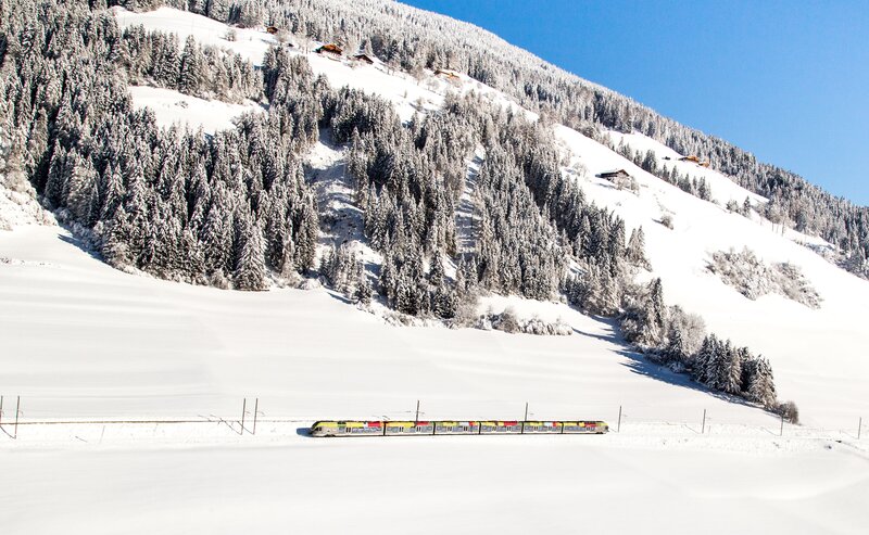
Getting to the starting point of the tour by public transport is easy and convenient.
By public bus line:
- 180 from Bozen | Bolzano, Birchabruck | Ponte Nova
- 180 or 184 from Karerpass | Passo Costalunga
- 184 from Weissenstein | Pietralba, Petersberg | Monte San Pietro, Deutschnofen | Nova Ponente, Stenk (or 181 and change 180)
- 184 from Obereggen, Eggen | Ega (or 184 and change 180)
- 187 from Steinegg | Collepietra, Gummer | San Valentino (or 182 and change 180)
- 180 from Val di Fassa
Bus stop: Karer See | Lago di Carezza. Online timetable search at www.suedtirolmobil.info/en/
Getting to the starting point of the tour by public transport is easy and convenient.
By public bus line:
- 180 from Bozen | Bolzano, Birchabruck | Ponte Nova, Welschnofen | Nova Levante
- 180 from Fassatal | Val di Fassa, Karer Pass | Passo Costalunga, Karersee | Carezza
- 184 from Weissenstein | Pietralba, Petersberg | Monte San Pietro, Deutschnofen | Nova Ponente, Stenk with change 180 (or 181 and change 180)
- 184 from Obereggen, Eggen | Ega with change 180 (or 184 and change 180)
- 186 from St. Zyprian | S. Cipriano, Nigerpass | Passo Nigra with change 180
- 187 from Steinegg | Collepietra, Gummer | San Valentino with change 180 (or 182 and change 180)
Bus stop: Karer See | Lago di Carezza. Online timetable search at www.suedtirolmobil.info/en/
By car:
Destination: Karersee | Carezza
Parking: Parking lot Karer See | Lago di Carezza
Parking: Parking lot Karer See | Lago di Carezza (with costs): https://goo.gl/maps/w4SVXQJJyxtUaLdUA
