Top

Family-hike to the ancient farms "Städtl" of Eggen/Ega

Deutschnofen
Add to favourites
Difficulty
Easy
Activity time
0:30
Duration in hours
Distance
1.9
Distance in km
WSEN
Suggested period
Jan
Feb
Mar
Apr
May
Jun
Jul
Aug
Sep
Oct
Nov
Dec
Easy family hike to Eggen’s historic Städtl farms – rural charm and nature combined. Perfect for families, explorers, and lovers of local food culture.
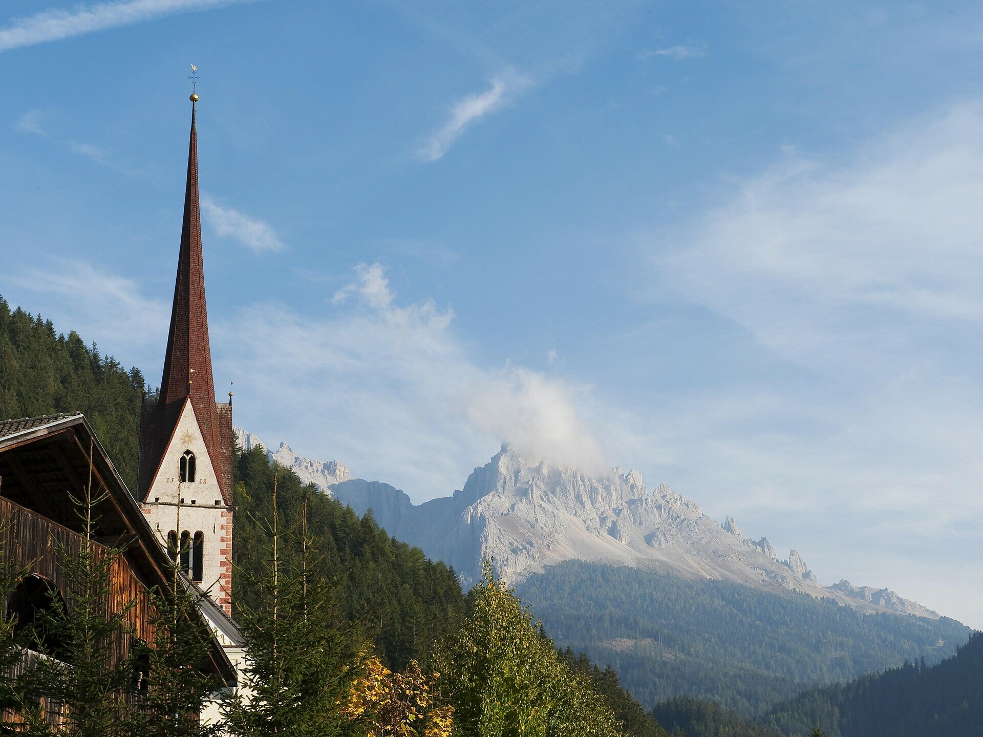
This family-friendly hike offers a journey into South Tyrol’s rural heritage. The trail winds through gentle hills and open countryside near Eggen, leading to the historic "Städtl" – a small cluster of ancient mountain farms that tell stories of traditional life in the Alps. Along the way, hikers are treated to peaceful woodland paths, flower-filled meadows, and breathtaking views of the Latemar. Kids will love exploring the natural surroundings and spotting animals on the farms, while parents can enjoy the calm and authenticity of this special place. After the hike, cozy local restaurants invite you to relax and savor regional South Tyrolean dishes. A perfect outing for families, cultural explorers, and those seeking simplicity and nature.
Route info
Easy
Distance
1,9 km
Activity time
30 min
Ascent
51 m
Descent
50 m
Physical effort
Scenary
Highest point
1.178 m
Lowest point
1.127 m
Directions
The hike starts at the village square of Eggen (1,120 m). Follow Trail [10], which gently ascends through meadows and forest to reach the historic farm group known as "Städtl", home to the traditional Gerber Hof and other ancient farms. Return along the same path back to Eggen.
Refreshments nearby: Hotel Moar am Latemar, Gasserhof Restaurant
public transportation

Getting to the starting point of the tour by public transport is easy and convenient.

By public bus line:
- 181 or 180 from Bozen | Bolzano
- 180 or 184 from Karersee | Lago di Carezza , Karerpass | Passo Costalunga, Welschnofen | Nova Levante
- 184 from Birchabruck | Pont Nova, Stenk, Obereggen
- 184 or 181 from Weissenstein | Pietralba, Petersberg | Monte San Pietro, Deutschnofen | Nova Ponente
- 182 from Steinegg | Collepietra , Gummer | San Valentino
- 180 from Vigo di Fassa

Bus stop: Eggen | Ega Church; online timetable search at www.suedtirolmobil.info/en/
Meeting point: Village square Eggen | Ega: https://goo.gl/maps/7RVk2A5oseS77A4f7

How to get there

Getting to the starting point of the tour by public transport is easy and convenient.

By public bus line:
- 181 or 180 from Bozen | Bolzano
- 180 or 184 from Karersee | Lago di Carezza , Karerpass | Passo Costalunga, Welschnofen | Nova Levante
- 184 from Birchabruck | Pont Nova, Stenk, Obereggen
- 184 or 181 from Weissenstein | Pietralba, Petersberg | Monte San Pietro, Deutschnofen | Nova Ponente
- 182 from Steinegg | Collepietra , Gummer | San Valentino
- 180 from Vigo di Fassa

Bus stop: Eggen | Ega Church; online timetable search at www.suedtirolmobil.info/en/ Meeting point: Village square Eggen | Ega: https://goo.gl/maps/7RVk2A5oseS77A4f7

By car:
Destination: Eggen | Ega  
Parking: parking lot Eggen | Ega
Meeting point: Village square Eggen | Ega: https://goo.gl/maps/7RVk2A5oseS77A4f7

Where to park

Parking: parking lot Eggen | Ega
Meeting point: Village square Eggen | Ega: https://goo.gl/maps/7RVk2A5oseS77A4f7

You might be interested in
Discover related tours
Intermediate
Add to favourites
Welschnofen
Hike to the Elisabeth Monument
Distance 8,9 km
Activity time 3 h 30 min
Ascent 421 m
Descent 421 m
Deutschnofen
LATEMAR.360°
Distance 1,0 km
Activity time 25 min
Ascent 86 m
Descent 89 m
Intermediate
Add to favourites
Deutschnofen
Hike through the Bletterbachschlucht Gorge
Distance 11,5 km
Activity time 4 h 00 min
Ascent 588 m
Descent 588 m
Steinegg
Planet Path in Gummer|San Valentino
Distance 9,1 km
Activity time 3 h 00 min
Ascent 262 m
Descent 262 m
Obereggen, Deutschnofen
LATEMAR.PANORAMA: Family-hike on the nature-trail
Distance 10,6 km
Activity time 3 h 50 min
Ascent 471 m
Descent 991 m
Intermediate
Add to favourites
Welschnofen
Farm hike in Welschnofen | Nova Levante
Distance 10,6 km
Activity time 3 h 14 min
Ascent 477 m
Descent 477 m