
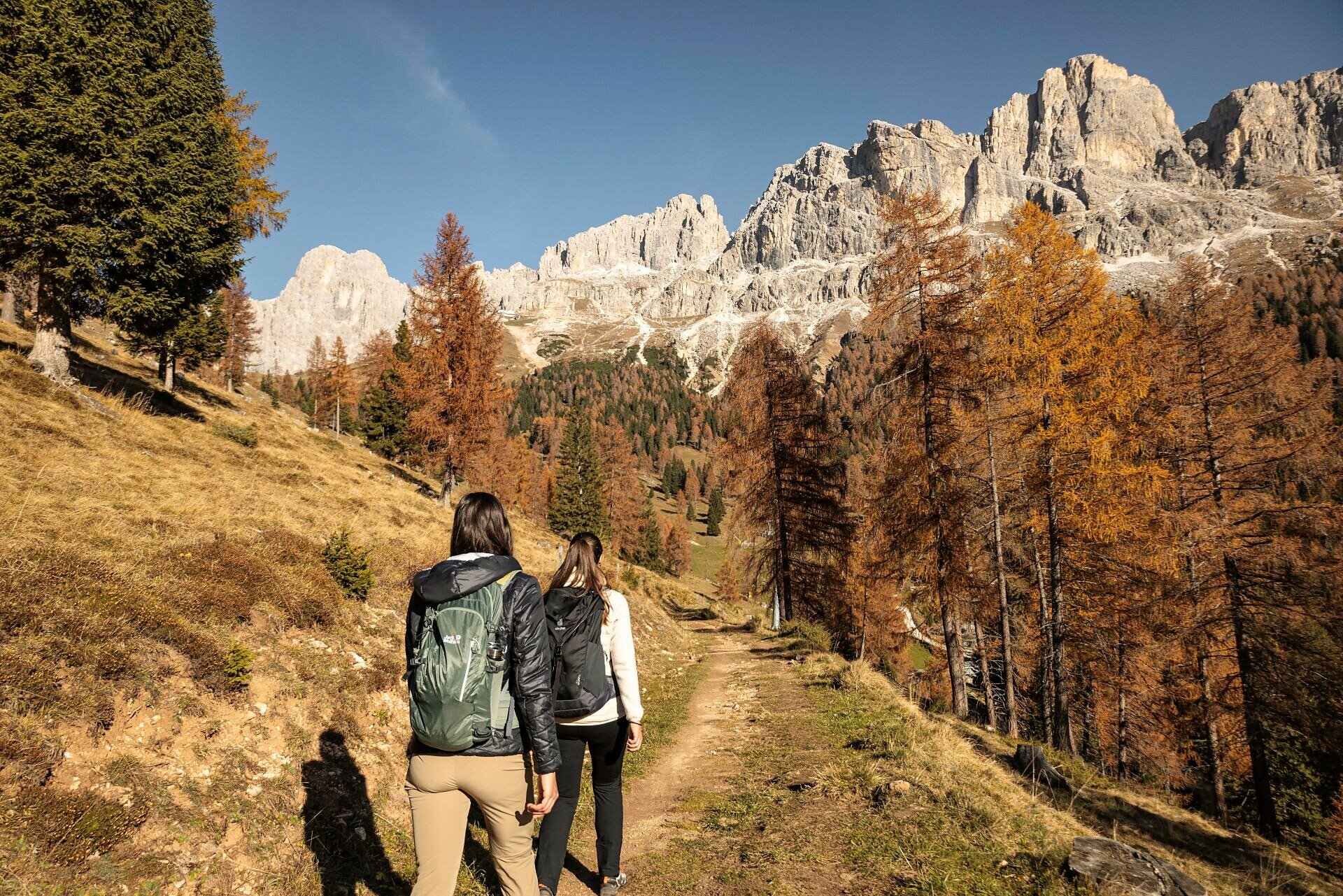
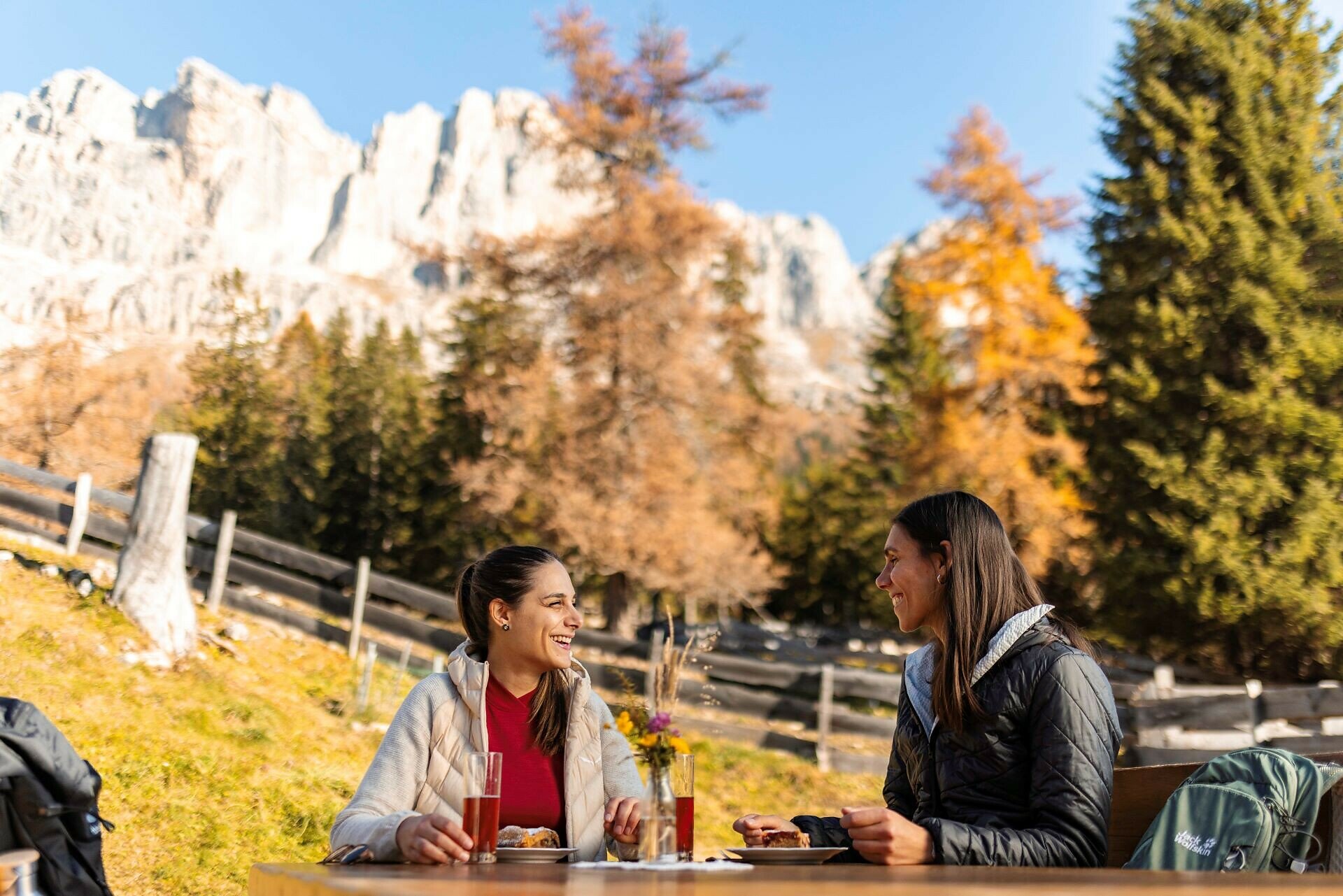
This leisurely hike leads below the Rosengarten | Catinaccio on a pleasant and flat trail through forest and flowering mountain meadows to the Ochsenhütte hut. Homemade South Tyrolean specialities and delicious cakes can be enjoyed on the beautiful sun terrace with mountain views, while the children let off steam on the playground.

Refreshment stops:
- Frommer Alm hut - Opening hours and closing day: https://eggental.com/en/info/restaurant-frommeralm_5125
- Ochsenhütte hut - Opening hours and closing day: https://eggental.com/en/info/malga-ochsenhtte_5220
By public bus line:
- 180 from Bozen | Bolzano, Birchabruck | Ponte Nova
- 180 from Fassatal | Val di Fassa, Karersee | Carezza, Karerpass | Passo Costalunga
- 184 from Weissenstein | Pietralba, Petersberg | Monte San Pietro, Deutschnofen | Nova Ponente, Stenk (or 181 and change 180)
- 184 from Obereggen, Eggen | Ega (or 184 and change 180)
- 186 from St. Zyprian | S. Cipriano, Nigerpass | Passo Nigra with change 180
- 187 from Steinegg | Collepietra, Gummer | San Valentino (or 182 and change 180)
Bus stop: Welschnofen Zentrum | Nova Levante centro (centre) + ascent with the cable car; online timetable search at www.suedtirolmobil.info/en/
By car:
Destination: Welschnofen | Nova Levante
Parking: Parking lor cable car Laurin I + ascent with the cable car
Getting to the starting point of the tour by public transport is easy and convenient.
By public bus line:
- 180 from Bozen | Bolzano, Birchabruck | Ponte Nova
- 180 from Fassatal | Val di Fassa, Karersee | Carezza, Karerpass | Passo Costalunga
- 184 from Weissenstein | Pietralba, Petersberg | Monte San Pietro, Deutschnofen | Nova Ponente, Stenk (or 181 and change 180)
- 184 from Obereggen, Eggen | Ega (or 184 and change 180)
- 186 from St. Zyprian | S. Cipriano, Nigerpass | Passo Nigra with change 180
- 187 from Steinegg | Collepietra, Gummer | San Valentino (or 182 and change 180)
Bus stop: Welschnofen Zentrum | Nova Levante centro (centre) + ascent with the cable car; online timetable search at www.suedtirolmobil.info/en/
Parking: parking lot cable car Welschnofen | Nova Levante Laurin I, https://maps.app.goo.gl/sArFu4rWe1AirKsZ7
Ascent with the cable car.


