Top

Hike & Bike | De Nova Ponente à Obereggen

Deutschnofen
Add to favourites
Difficulty
Intermediate
Activity time
3:35
Duration in hours
Distance
12.2
Distance in km
Status
closed
WSEN
Suggested period
Jan
Feb
Mar
Apr
May
Jun
Jul
Aug
Sep
Oct
Nov
Dec
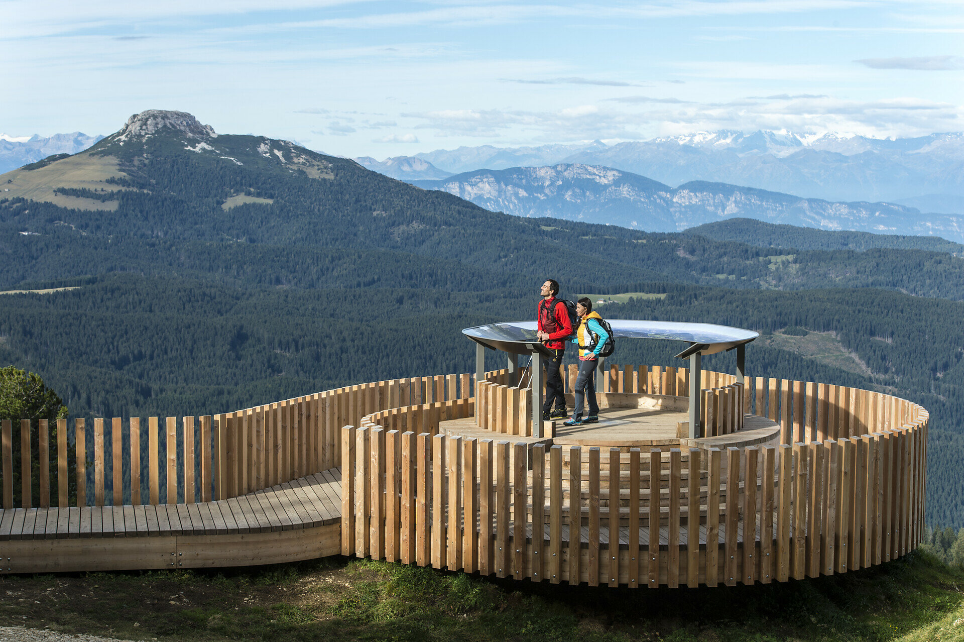
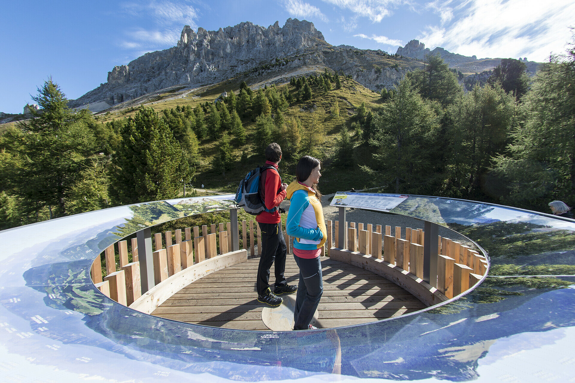
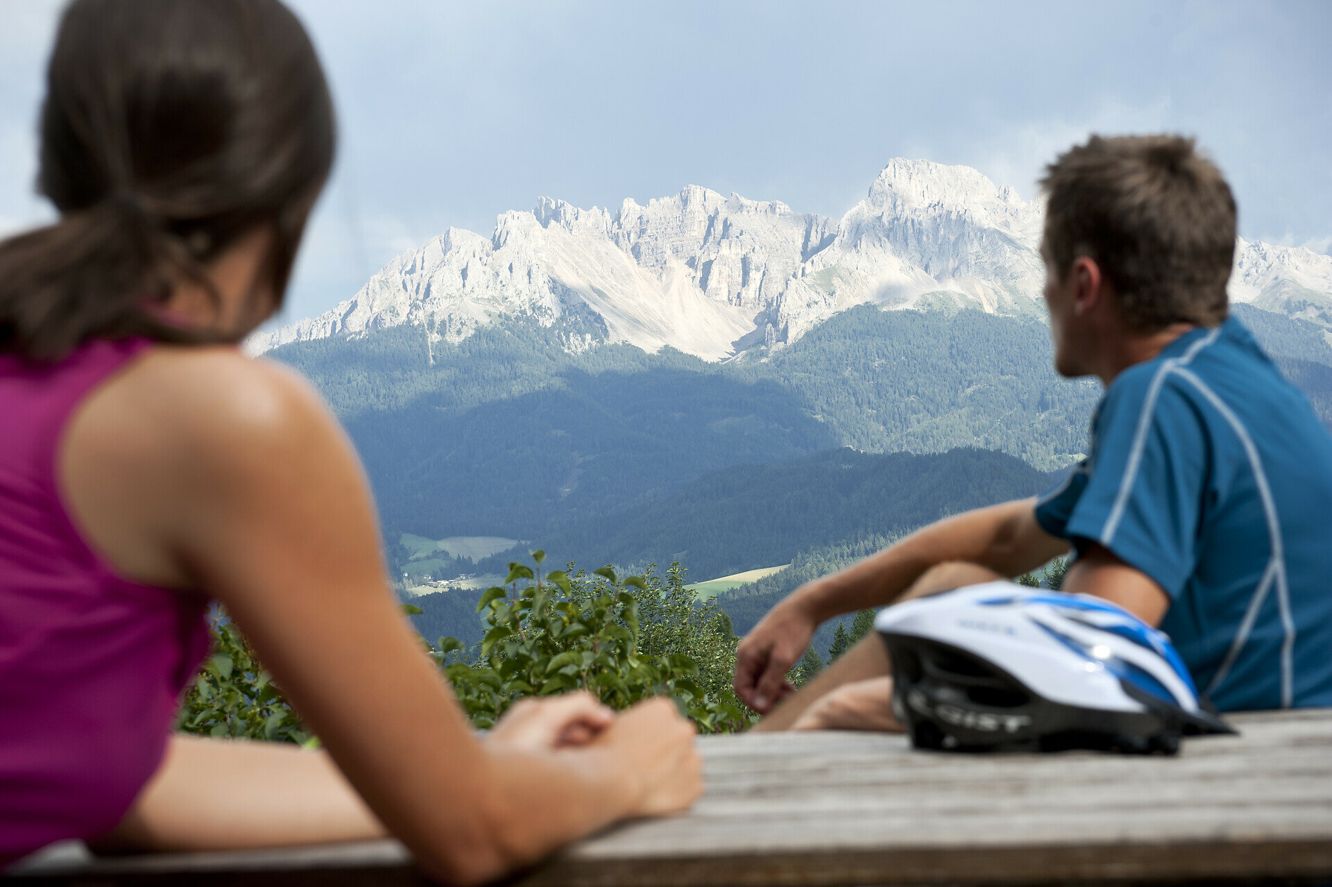
Scenic Hike & Bike tour with forest trails, e-bike fun and 360° views. Perfect for active families and outdoor lovers looking for variety and adventure.

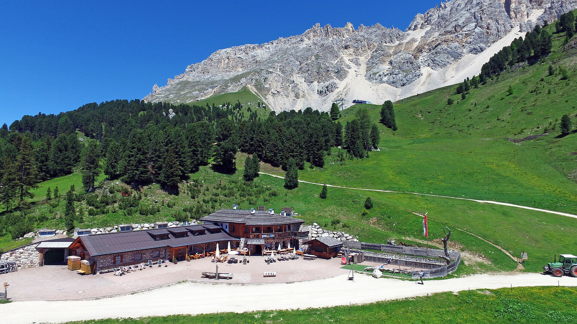
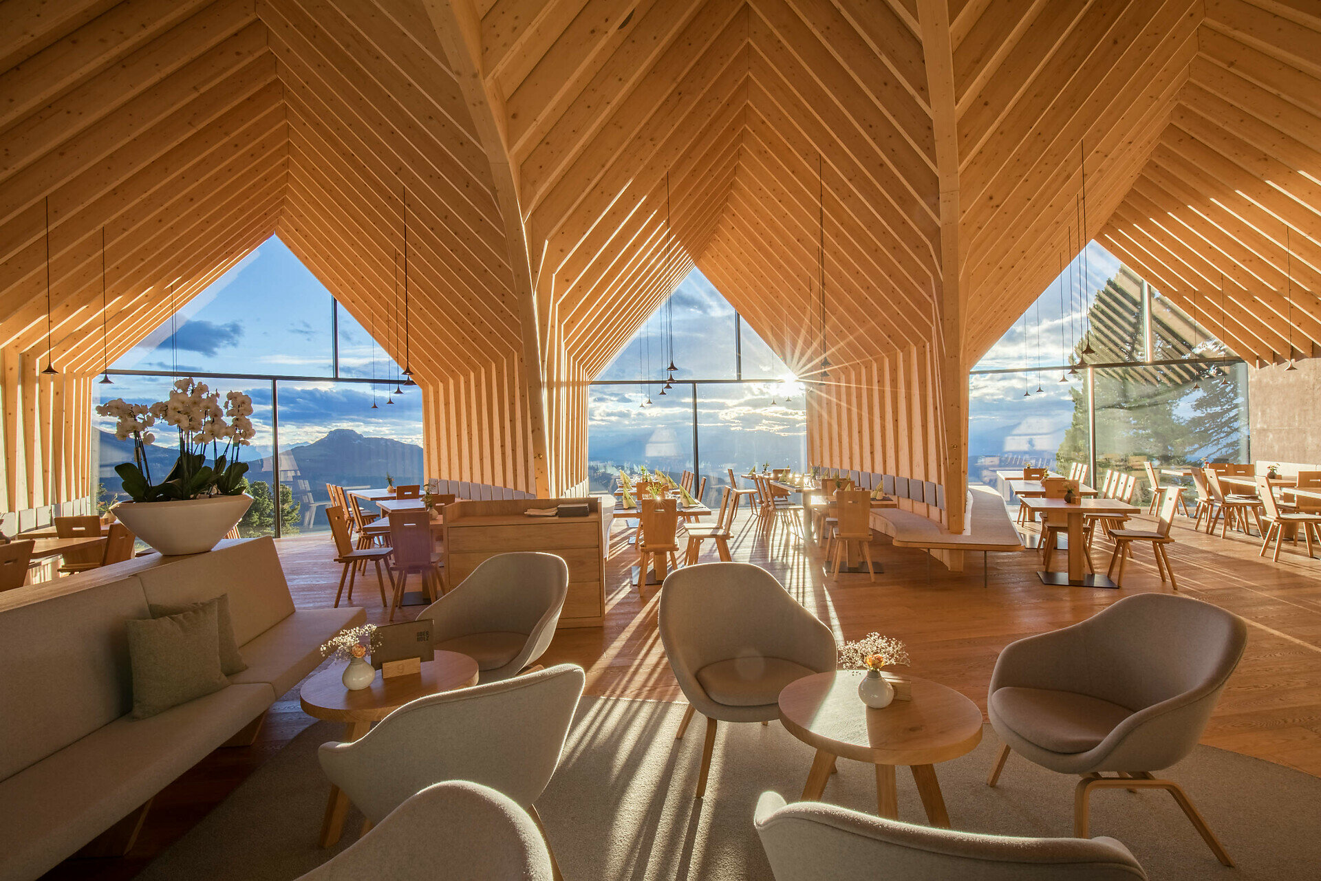
This Hike & Bike adventure combines scenic e-biking with panoramic hiking – perfect for active families and nature lovers! From Deutschnofen, ride through forests and meadows to Obereggen. Then hop on the chairlift up to the Oberholz hut, where the panoramic Latemar Trail begins. A short walk takes you to the Latemar 360° platform, followed by a scenic hike to the Mayrl Alm. Enjoy sweeping alpine views, peaceful trails, and tasty local stops. Return comfortably via chairlift and public bus. A varied day of movement, discovery, and mountain beauty.

Tags
  • Linear route
Route info
Intermediate
Distance
12,2 km
Activity time
3 h 35 min
Ascent
442 m
Descent
270 m
Physical effort
Scenary
Highest point
1.522 m
Lowest point
1.239 m
You might be interested in
Discover related tours
Welschnofen
Cinéma de montagne d'Eggental - Place Walther
Distance 2,0 km
Activity time 1 h 02 min
Ascent 314 m
Descent 0 m
Intermediate
Add to favourites
Welschnofen
Randonnée circulaire de Welschnofen au monument Elisabeth
Distance 7,9 km
Activity time 2 h 33 min
Ascent 467 m
Descent 457 m
Status
closed
Obereggen, Deutschnofen
LATEMAR.PANORAMA : Balade familiale sur le parcours nature
Distance 10,6 km
Activity time 3 h 50 min
Ascent 471 m
Descent 991 m
Intermediate
Add to favourites
Karersee, Welschnofen
Via le Hirzelsteig jusqu'au monument de Christomannos
Distance 8,6 km
Activity time 2 h 38 min
Ascent 399 m
Descent 399 m
Intermediate
Add to favourites
Steinegg
Le chemin des étoiles de Gummer à Steinegg
Distance 12,2 km
Activity time 3 h 27 min
Ascent 334 m
Descent 656 m
Status
closed
Obereggen, Deutschnofen
LATEMAR.PANORAMA
Distance 7,8 km
Activity time 2 h 45 min
Ascent 415 m
Descent 417 m
Status
closed