Top

From Welschnofen | Nova Levante to the Stadl Alm farm and Lake Carezza

Welschnofen
Add to favourites
Difficulty
Intermediate
Activity time
4:51
Duration in hours
Distance
16.1
Distance in km
Suggested period
Jan
Feb
Mar
Apr
May
Jun
Jul
Aug
Sep
Oct
Nov
Dec
Great hike from Welschnofen | Nova Levante via the Stadl Alm farm with Dolomite panorama all the way to Lake Carezza.

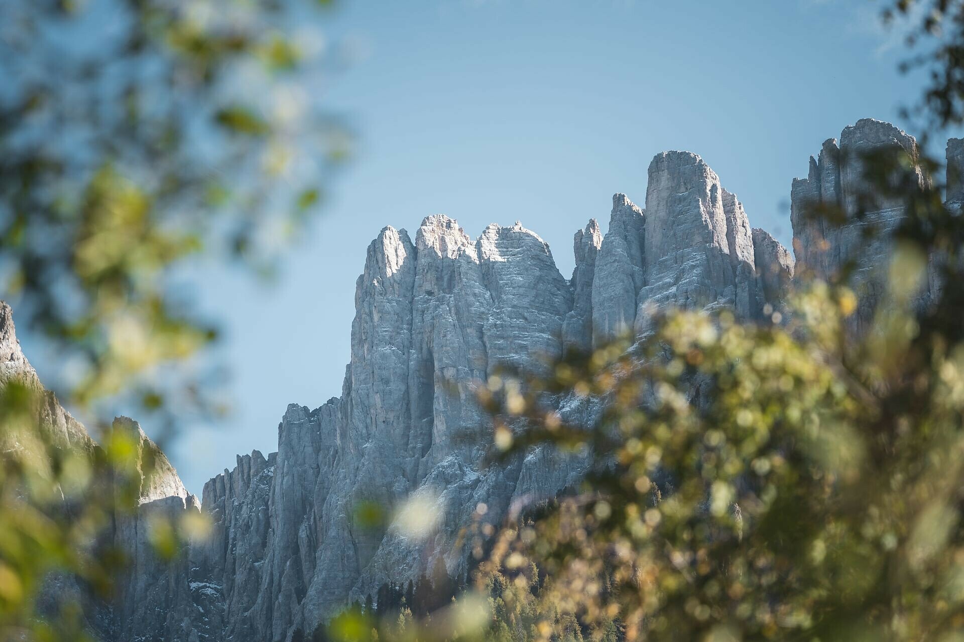
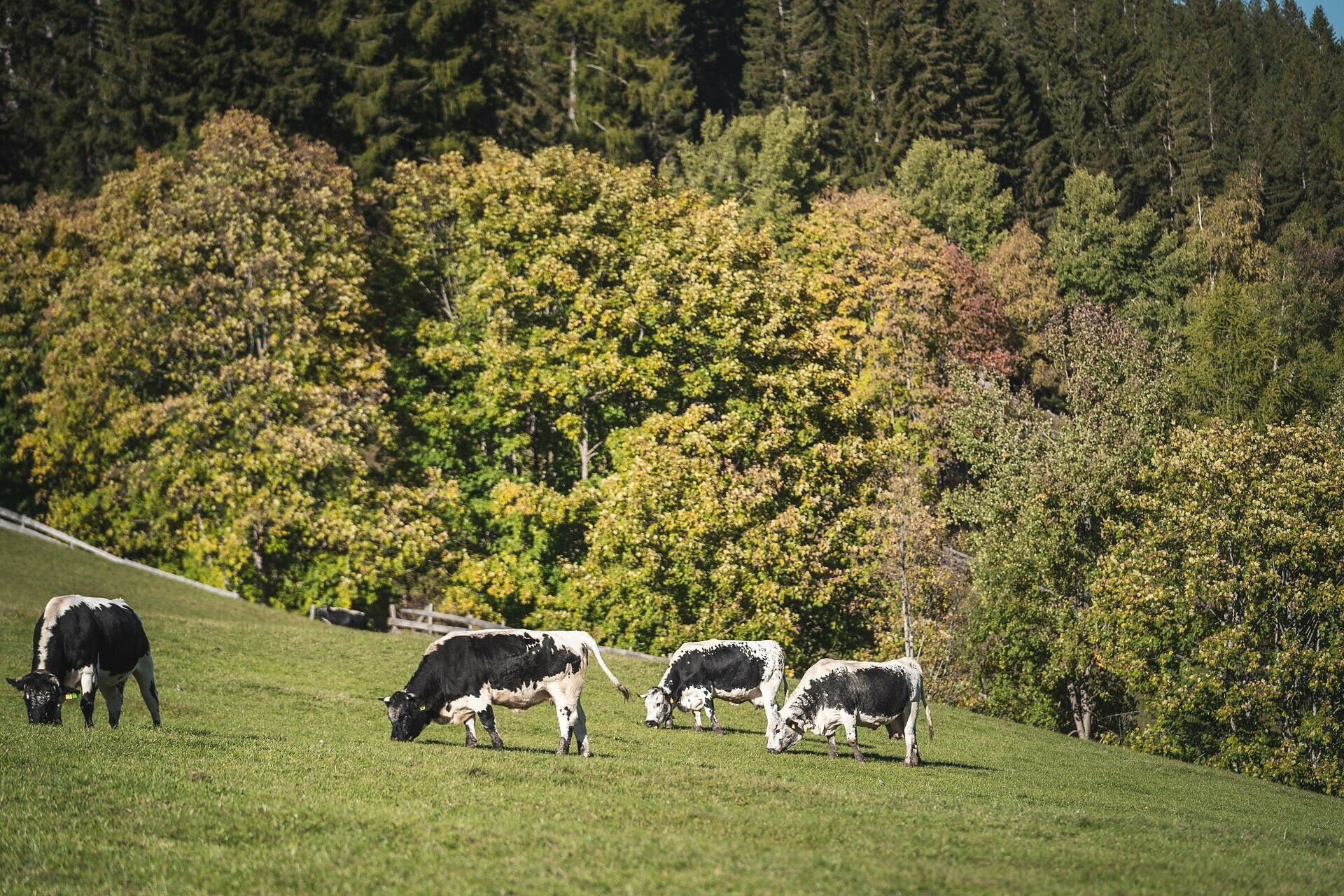
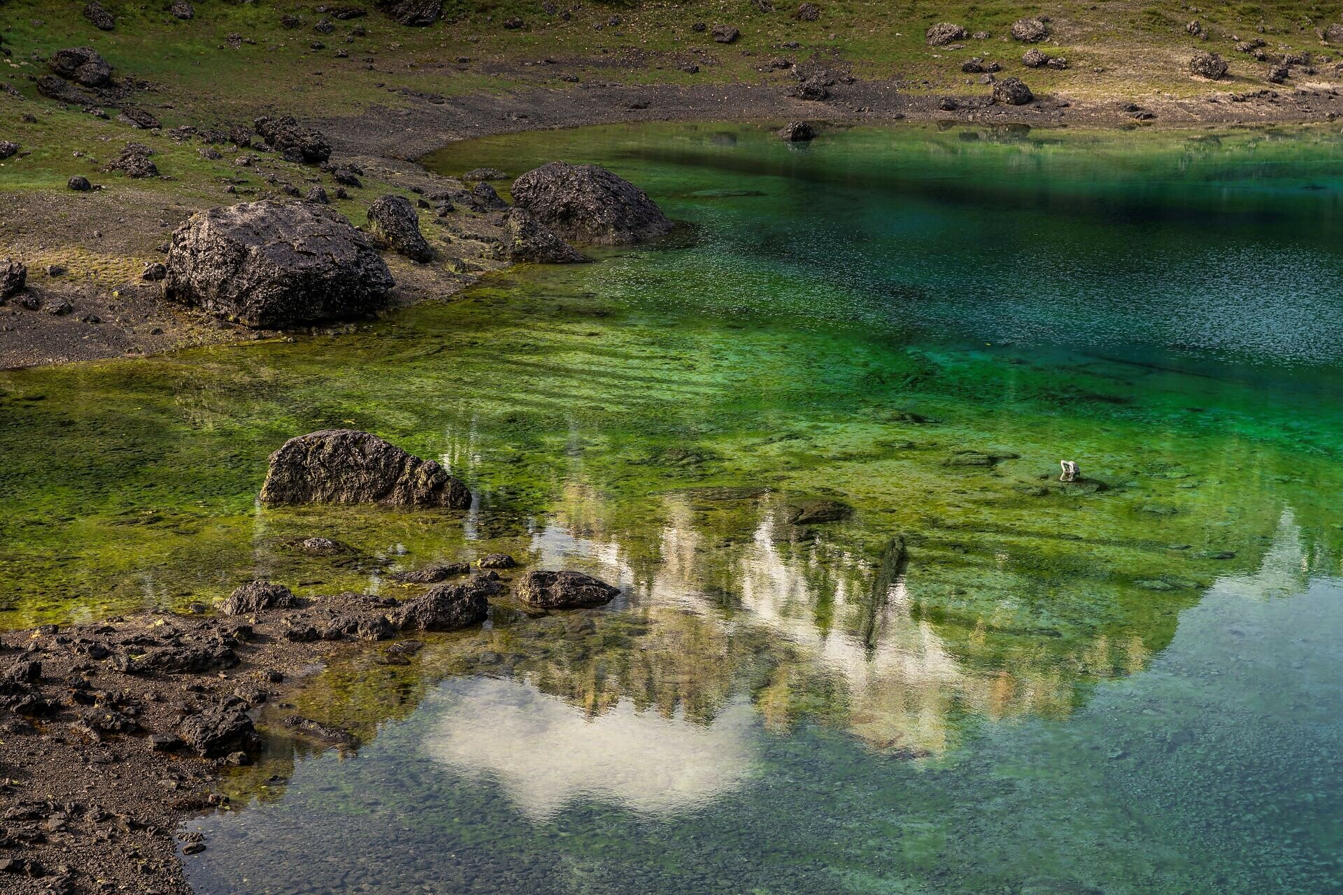
This hike leads from Welschnofen | Nova Levante via the  "Plun" hill up to the Stadl Alm farm and then continues on to Lake Carezza. The section between Welschnofen | Nova Levante and the Stadl Alm is a bit steep, but once you arrive at the Stadl Alm farm, you are rewarded with a breathtaking panorama of idyllic alpine meadows and the two Dolomite giants, Rosengarten | Catinaccio and Latemar. At the Stadl Alm farm, you can relax on the sunny terrace and enjoy delicious homemade specialties. The final destination of the route is Lake Carezza, considered one of the most magnificent alpine lakes, especially famous for its deep green water and the stunning mountain backdrop.

Route info
Intermediate
Distance
16,1 km
Activity time
4 h 51 min
Ascent
655 m
Descent
649 m
Physical effort
Scenary
Highest point
1.548 m
Lowest point
1.097 m
Suggestions

Refreshment stops:

You might be interested in
Discover related tours
Intermediate
Add to favourites
Deutschnofen
Hike to the Wölflhof
Distance 9,0 km
Activity time 2 h 30 min
Ascent 210 m
Descent 210 m
Steinegg
Randonnée d'hiver vers l'observatoire à Gummer
Distance 4,8 km
Activity time 1 h 16 min
Ascent 57 m
Descent 57 m
Welschnofen
Mountain cinema - Waltherplatz | Piazza Walther
Distance 2,0 km
Activity time 1 h 02 min
Ascent 314 m
Descent 0 m
Status
closed
Steinegg
Family hike to the observatory in Gummer|San Valentino
Distance 2,4 km
Activity time 38 min
Ascent 34 m
Descent 28 m
Obereggen, Deutschnofen
Hike from Obereggen to Lavazè
Distance 15,0 km
Activity time 4 h 55 min
Ascent 603 m
Descent 603 m
Intermediate
Add to favourites
Steinegg
Chemin des étoiles de Gummer à Steinegg
Distance 12,2 km
Activity time 3 h 27 min
Ascent 334 m
Descent 656 m