From Welschnofen | Nova Levante to the Stadl Alm farm and Lake Carezza
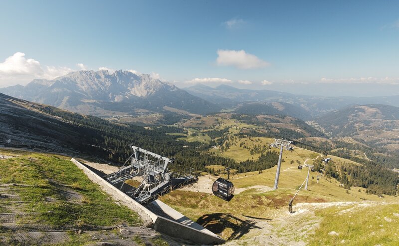
This hike leads from Welschnofen | Nova Levante via the "Plun" hill up to the Stadl Alm farm and then continues on to Lake Carezza. The section between Welschnofen | Nova Levante and the Stadl Alm is a bit steep, but once you arrive at the Stadl Alm farm, you are rewarded with a breathtaking panorama of idyllic alpine meadows and the two Dolomite giants, Rosengarten | Catinaccio and Latemar. At the Stadl Alm farm, you can relax on the sunny terrace and enjoy delicious homemade specialties. The final destination of the route is Lake Carezza, considered one of the most magnificent alpine lakes, especially famous for its deep green water and the stunning mountain backdrop.
- Out and back
Refreshment stops:
- Restaurant Pizzeria Mondschein near the cable car parking lot - Opening hours and closing day: https://eggental.com/en/info/restaurant-pizzeria-luna_5248
- Stadl Alm hut - Open only in summer - Opening hours and closing day: https://eggental.com/en/info/stadlalm_5260
- Sea Bistro at Lake Carezza - Opening hours and closing day: https://eggental.com/en/info/sea-bistro_5234
The starting point is in Welschnofen | Nova Levante at the cable car parking lot. From there, follow the sidewalk along the main road, passing the Despar supermarket, downhill through the village until you reach the entrance to the sports area and the public swimming pool. Opposite the entrance, on the left-hand side, path [27] crosses a wooden bridge into the forest. Following path [27], you reach the Stadl Alm (open only in summer). From the Stadl Alm, continue on paths [25], [25A], and [8] to Lake Carezza. The return follows the same route.
Alternative options: Return from Lake Carezza to Welschnofen | Nova Levante by bus line 180 or 184. Alternatively, from the Lake Carezza parking lot, cross the suspension bridge and follow path [6], then path [7] back to Welschnofen | Nova Levante. Or, from Lake Carezza, take path [10A] directly back to Welschnofen | Nova Levante.
Refreshment stops:
- Restaurant Pizzeria Mondschein near the cable car parking lot - Opening hours and closing day: https://eggental.com/en/info/restaurant-pizzeria-luna_5248
- Stadl Alm hut - Open only in summer - Opening hours and closing day: https://eggental.com/en/info/stadlalm_5260
- Sea Bistro at Lake Carezza - Opening hours and closing day: https://eggental.com/en/info/sea-bistro_5234
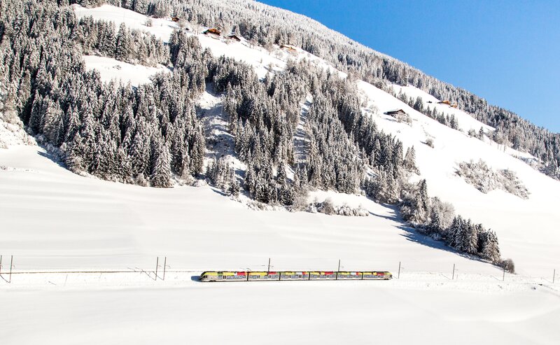
Getting to the starting point of the tour by public transport is easy and convenient.
By public bus line:
- 180 from Bozen | Bolzano, Birchabruck | Ponte Nova
- 180 or 184 from Karersee | Carezza, Karerpass | Passo Costalunga
- 184 from Weissenstein | Pietralba, Petersberg | Monte San Pietro, Deutschnofen | Nova Ponente, Stenk (or 181 and change 180)
- 184 from Obereggen, Eggen | Ega (or 184 and change 180)
- 187 from Steinegg | Collepietra, Gummer | San Valentino (or 182 and change 180)
- 180 from Val di Fassa
Bus stop: Welschnofen Zentrum | Nova Levante centro (centre), at the cable car; online timetable search at www.suedtirolmobil.info/en/
By car:
Destination: Welschnofen | Nova Levante
Parking: Parking lot cable car
Parking: parking lot cable car Welschnofen | Nova Levante Laurin I, https://maps.app.goo.gl/sArFu4rWe1AirKsZ7
