

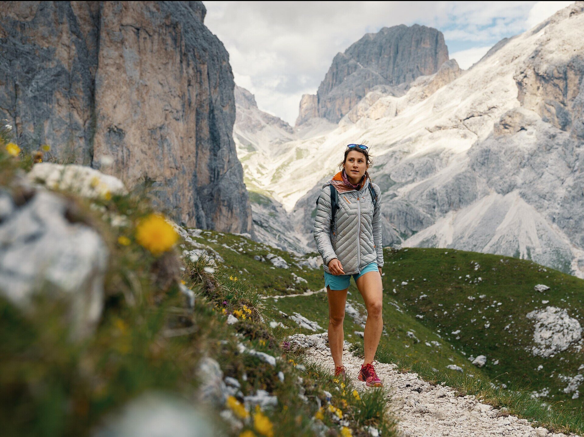
The Rosengarten circular route is a magnificent hike for experienced hikers, providing fantastic views of the surrounding mountains.

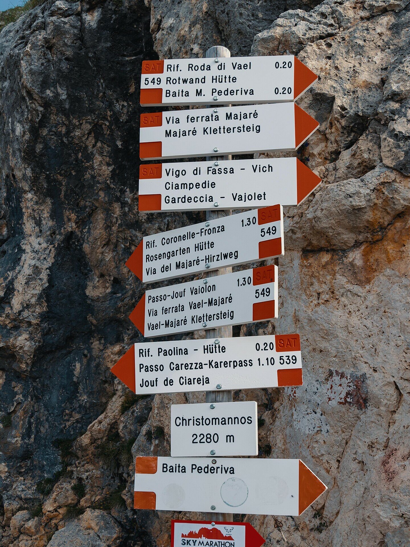
The route begins at the Paolinahütte mountain hut (2,125 m). The hiking trail leads to the Rotwandhütte mountain hut on trail [539] and [549]. Then head on trail [541] over the Cigolade Pass (2,550 m), continuing on trail [541] and [550] to the Tschager Joch ridge (2,630 m). From here continue downhill to the Kölner Hütte mountain hut (2,337 m) and Laurins Lounge. Then take trail [549] and [552] to return to the Paolinahütte mountain hut.
An alternative route is from Nova Levante/Welschnofen by gondola cable car up to the Frommeralm tavern, continuing on the König Laurin cable car to the Kölner Hütte mountain hut. Return via the same route as described above.
Getting to the starting point of the tour by public transport is easy and convenient.
By public bus line:
- 180 from Bozen | Bolzano, Val di Fassa
- 180 from Karer Pass | Passo Costalunga, Karer See | Lago di Carezza
- 180 from Birchabruck | Ponte Nova - 184 and change 180 from Obereggen, Eggen | Ega
- 181 and change 180 from Weissenstein | Pietralba, Petersberg | Monte San Pietro, Deutschnofen | Nova Ponente, Stenk
- 187 from Steinegg | Collepietra, Gummer | San Valentino
Bus stop: Welschnofen | Nova Levante, centre + cable car Laurin I & cable car König Laurin I+II; online timetable search at: https://www.suedtirolmobil.info/en/
Location: https://goo.gl/maps/o6UKpxA2pFNYYM72A
By car:
Destination: Welschnofen | Nova Levante
Parking: Parking lot Frommer
Location: https://goo.gl/maps/o6UKpxA2pFNYYM72A
Location: https://goo.gl/maps/o6UKpxA2pFNYYM72A


