




Top

Hike to the Wölflhof

Deutschnofen
Add to favourites
Difficulty
Intermediate
Activity time
2:27
Duration in hours
Distance
9
Distance in km
Status
open
Scenic hike to Wölflhof with local food and Dolomite views – ideal for nature lovers, hikers, and those who enjoy a rewarding rest stop.

This hike is a perfect blend of nature, relaxation, and local flavor. Starting from the edge of Deutschnofen, the route leads through peaceful roads, open meadows, and quiet forest trails – with views that become more impressive with every step.

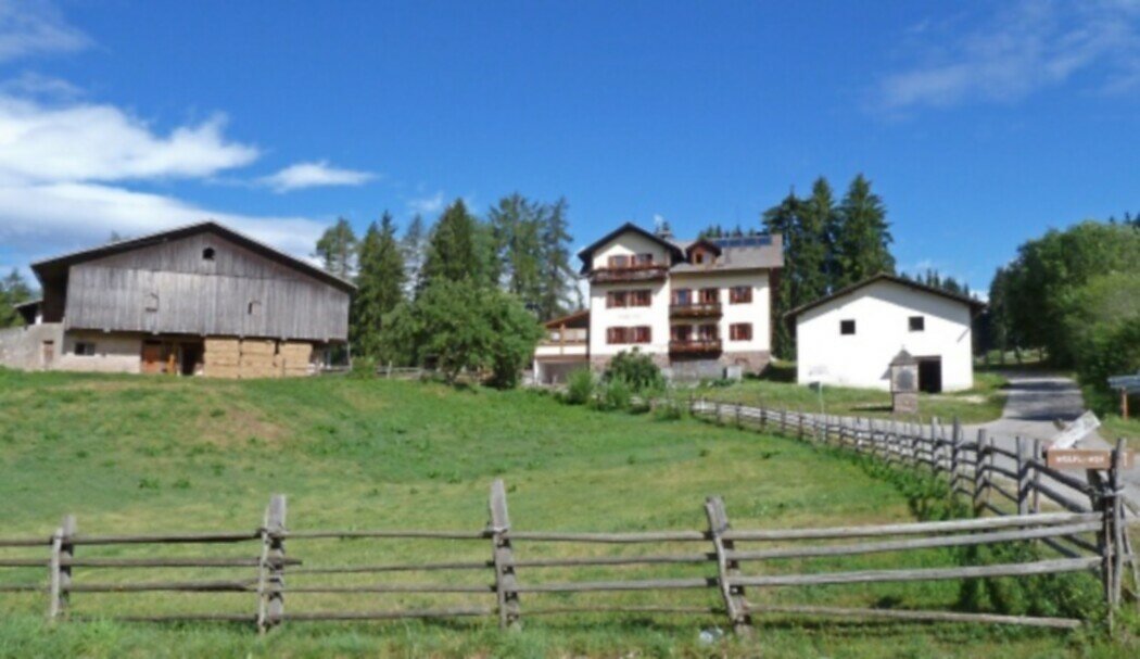
The destination is the Wölflhof, a welcoming, family-run farmhouse where hikers can enjoy hearty South Tyrolean dishes and genuine hospitality. It’s the ideal spot to take a break and soak in the surrounding peace.

The return leg offers wide, sweeping views of the Sarntal valley, the Ritten plateau, the Schlern, and – on clear days – even the South Tyrolean lowlands and the Brenta Dolomites. A hike made for nature lovers, foodies, and anyone who enjoys quiet paths with great rewards.
Route info
Intermediate
Distance
9,0 km
Activity time
2 h 27 min
Ascent
220 m
Descent
220 m
Physical effort
Scenary
Highest point
1.429 m
Lowest point
1.284 m
You might be interested in
Discover related tours
Welschnofen
Randonnée circulaire du lac de Carezza à l'alpage Franzin
Distance 7,0 km
Activity time 2 h 02 min
Ascent 242 m
Descent 252 m
Status
open
Deutschnofen
Hike to the Häusler Sam
Distance 3,9 km
Activity time 1 h 07 min
Ascent 133 m
Descent 148 m
Status
open
Intermediate
Add to favourites
Welschnofen
Randonnée en boucle de Welschnofen au monument Elisabeth
Distance 7,9 km
Activity time 2 h 33 min
Ascent 467 m
Descent 457 m
Status
open
Welschnofen
Circular hike from Paolina to Lake Carezza
Distance 5,5 km
Activity time 1 h 35 min
Ascent 124 m
Descent 124 m
Status
open
Intermediate
Add to favourites
Deutschnofen
Randonnée vers les alpages de l'Eggental
Distance 10,9 km
Activity time 3 h 25 min
Ascent 454 m
Descent 455 m
Status
open
Intermediate
Add to favourites
Welschnofen
Randonnée circulaire depuis le parking Paolina jusqu'au labyrinthe de rochers du Latemar
Distance 10,4 km
Activity time 3 h 03 min
Ascent 349 m
Descent 349 m
Status
open