Top

Kaiserstein Tour

Welschnofen
Add to favourites
Difficulty
Easy
Activity time
1:45
Duration in hours
Distance
16.8
Distance in km
Status
closed
Suggested period
Jan
Feb
Mar
Apr
May
Jun
Jul
Aug
Sep
Oct
Nov
Dec
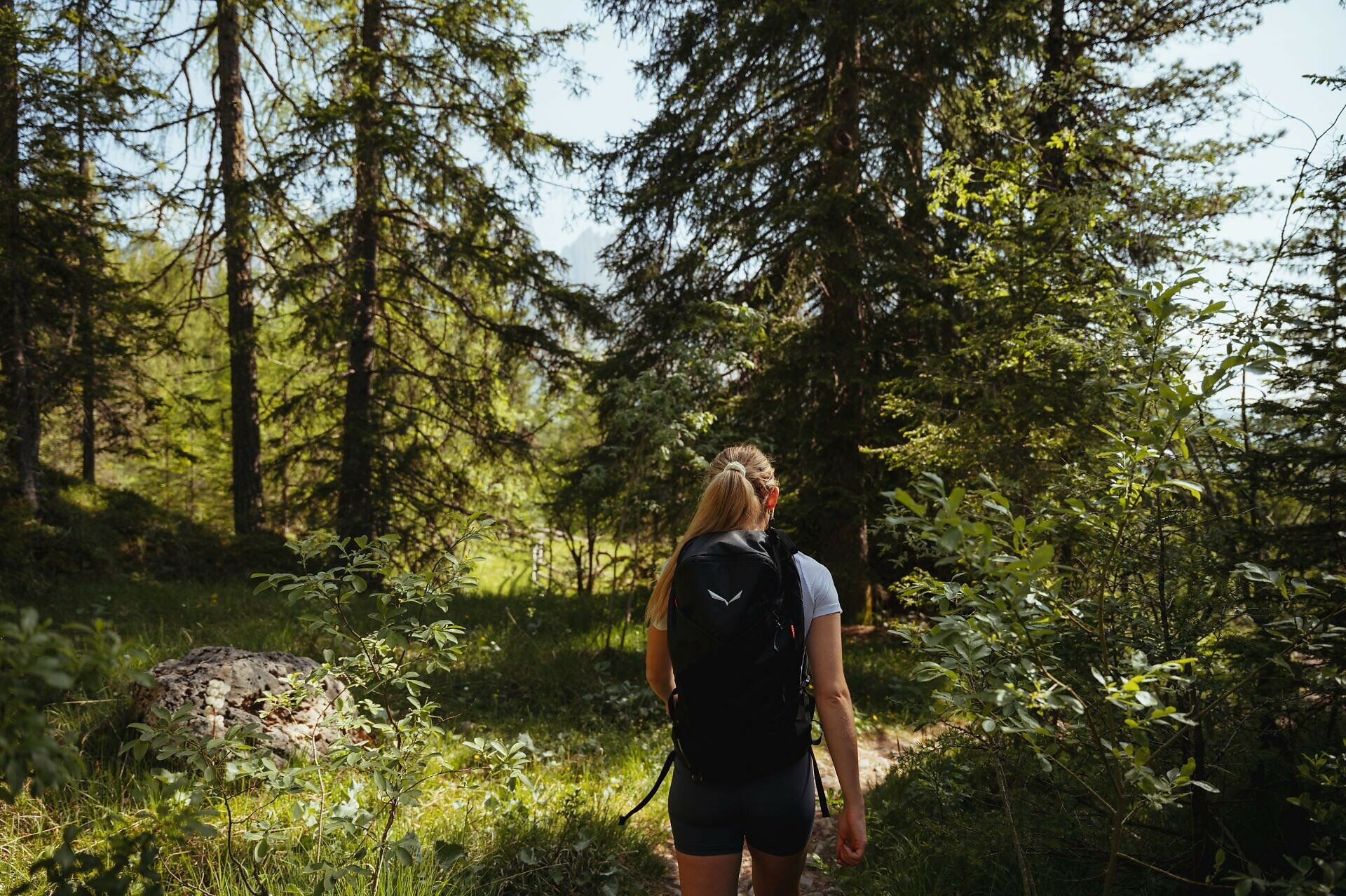
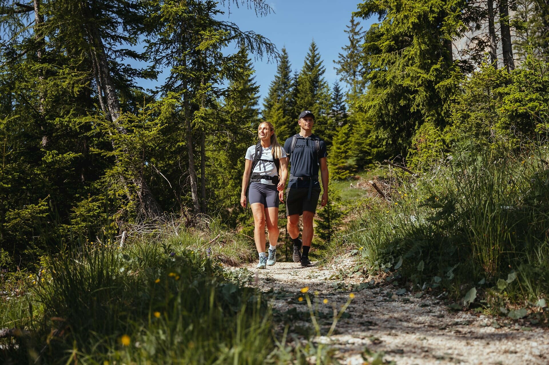
Easy hike to the Kaiserstein below the Rotwand, with views of the Latemar, Eggental, and Dolomites – a panoramic spot that once enchanted Empress Sissi.
This easy hike runs below the Rosengarten | Catinaccio massif, through forests and meadows, to a very special panoramic point at the foot of the Rotwand | Roda di Vael - the Kaiserstein. From here, a picturesque view unfolds: your gaze sweeps from the nearby Rotwand | Roda di Vael across the rugged Latemar into the Eggental valley and the mountain world rising beyond. A small wooden bench invites you to soak in this idyllic scene, which also enchanted Empress Sissi during her stay in Carezza in 1897. In her honor, the rock was named Kaiserstein.
Tags
  • Family-friendly
Route info
Easy
Distance
16,8 km
Activity time
1 h 45 min
Ascent
113 m
Descent
256 m
Physical effort
Scenary
Highest point
2.004 m
Lowest point
1.179 m
Suggestions

Refreshment stops:

You might be interested in
Discover related tours
Welschnofen
Randonnée familiale en circuit depuis l'hôtel Moseralm jusqu'aux prairies de Frin et à l'Ochsenhütte
Distance 6,6 km
Activity time 1 h 58 min
Ascent 267 m
Descent 267 m
Welschnofen
Circular Hike from Lake Carezza to Franzin Alm
Distance 7,0 km
Activity time 2 h 02 min
Ascent 242 m
Descent 252 m
Steinegg
Parcours ludique BienenWald à Steinegg
Distance 1,2 km
Activity time 22 min
Ascent 59 m
Descent 59 m
Intermediate
Add to favourites
Steinegg
Randonnée circulaire sur le Rittersteig de Steinegg au Wiedenhof
Distance 10,4 km
Activity time 3 h 45 min
Ascent 604 m
Descent 601 m
Intermediate
Add to favourites
Welschnofen
From Welschnofen | Nova Levante to the Stadl Alm farm and Lake Carezza
Distance 16,1 km
Activity time 4 h 51 min
Ascent 655 m
Descent 649 m
Intermediate
Add to favourites
Karersee, Welschnofen
To the Christomannos Monument via the Hirzelsteig path
Distance 8,6 km
Activity time 2 h 38 min
Ascent 399 m
Descent 399 m
Status
closed