Top

LATEMAR.ADVENTURE: Vaia’s Wrath

Deutschnofen
Add to favourites
Category
Difficulty
Easy
Activity time
0:50
Duration in hours
Distance
2.5
Distance in km
Status
open
An adventurous audio trail for families: Kids search for calf Peppi in the forest damaged by storm Vaia – with puzzles, courage and nature. Ages 6 and up.

The stormy night of Vaia left a trail of destruction across the Latemar forest – and it's the dramatic setting for this immersive family adventure: “Vaia’s Wrath” is an exciting audio trail that tells a story of bravery, teamwork and resilience in nature.

Join siblings Toni and Klara on the search for their lost calf Peppi, who vanished after the storm. But the forest is no longer peaceful: fallen trees, rushing streams and tricky challenges await you on the path.

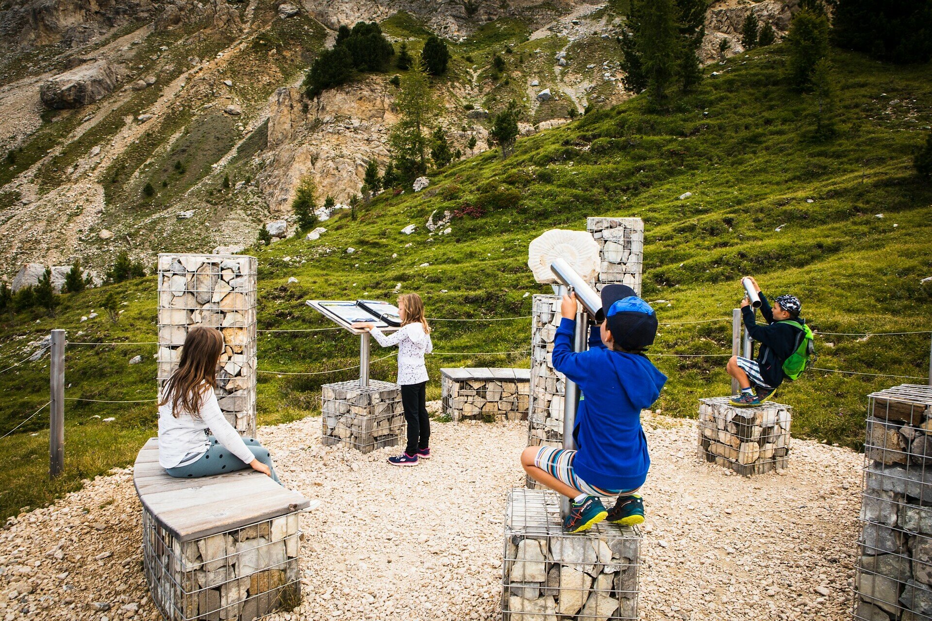
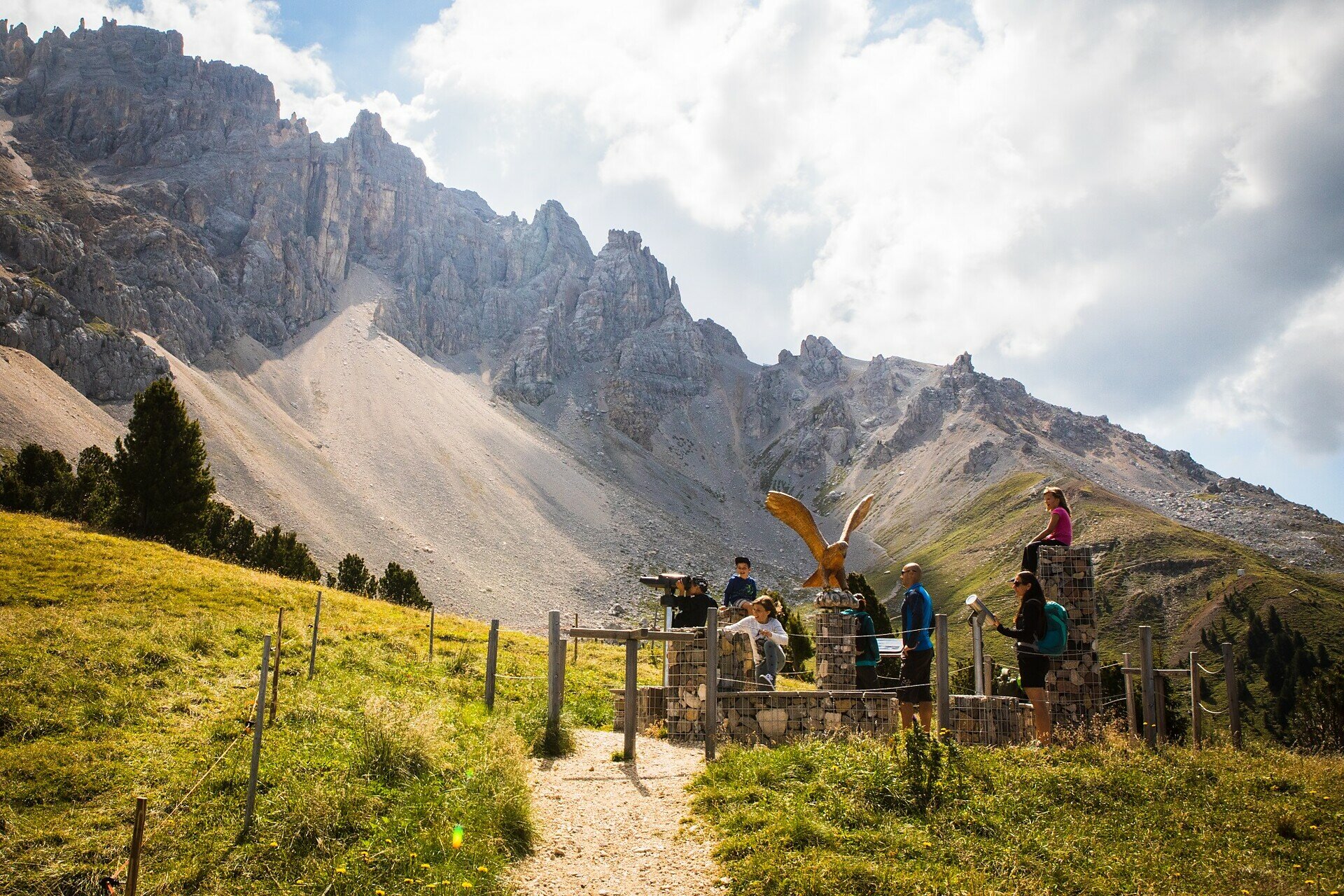
Through the use of a free app, a narrated audio story, a fun adventure booklet and interactive puzzle stations, children aged 6 to 14 dive into a thrilling tale while discovering the power of the forest. Along the way, they also collect points that contribute to reforesting the area.

A magical hike full of action, learning and unforgettable moments.

Tags
  • Linear route
  • Family-friendly
Route info
Easy
Distance
2,5 km
Activity time
50 min
Ascent
177 m
Descent
40 m
Physical effort
Scenary
Highest point
1.995 m
Lowest point
1.818 m
You might be interested in
Discover related tours
Obereggen, Deutschnofen
LATEMAR.PANORAMA
Distance 7,8 km
Activity time 2 h 45 min
Ascent 415 m
Descent 417 m
Status
closed
Deutschnofen
LATEMAR.NATURA: Mountain Cinema
Distance 12,4 km
Activity time 4 h 18 min
Ascent 727 m
Descent 727 m
Status
closed
Deutschnofen
LATEMAR.360°
Distance 1,0 km
Activity time 30 min
Ascent 96 m
Descent 97 m
Status
closed
Steinegg
Experience Trail BeeForest in Steinegg|Collepietra
Distance 1,2 km
Activity time 24 min
Ascent 58 m
Descent 58 m
Status
open
Deutschnofen
LATEMAR.ADVENTURE: On the Poacher’s Trail
Distance 1,2 km
Activity time 19 min
Ascent 23 m
Descent 52 m
Status
open
Steinegg
Chemin des planètes à Gummer
Distance 9,2 km
Activity time 3 h 00 min
Ascent 262 m
Descent 262 m
Status
open