Top

LATEMAR.NATURA

Deutschnofen
Add to favourites
Difficulty
Easy
Activity time
1:07
Duration in hours
Distance
3.1
Distance in km
Status
closed
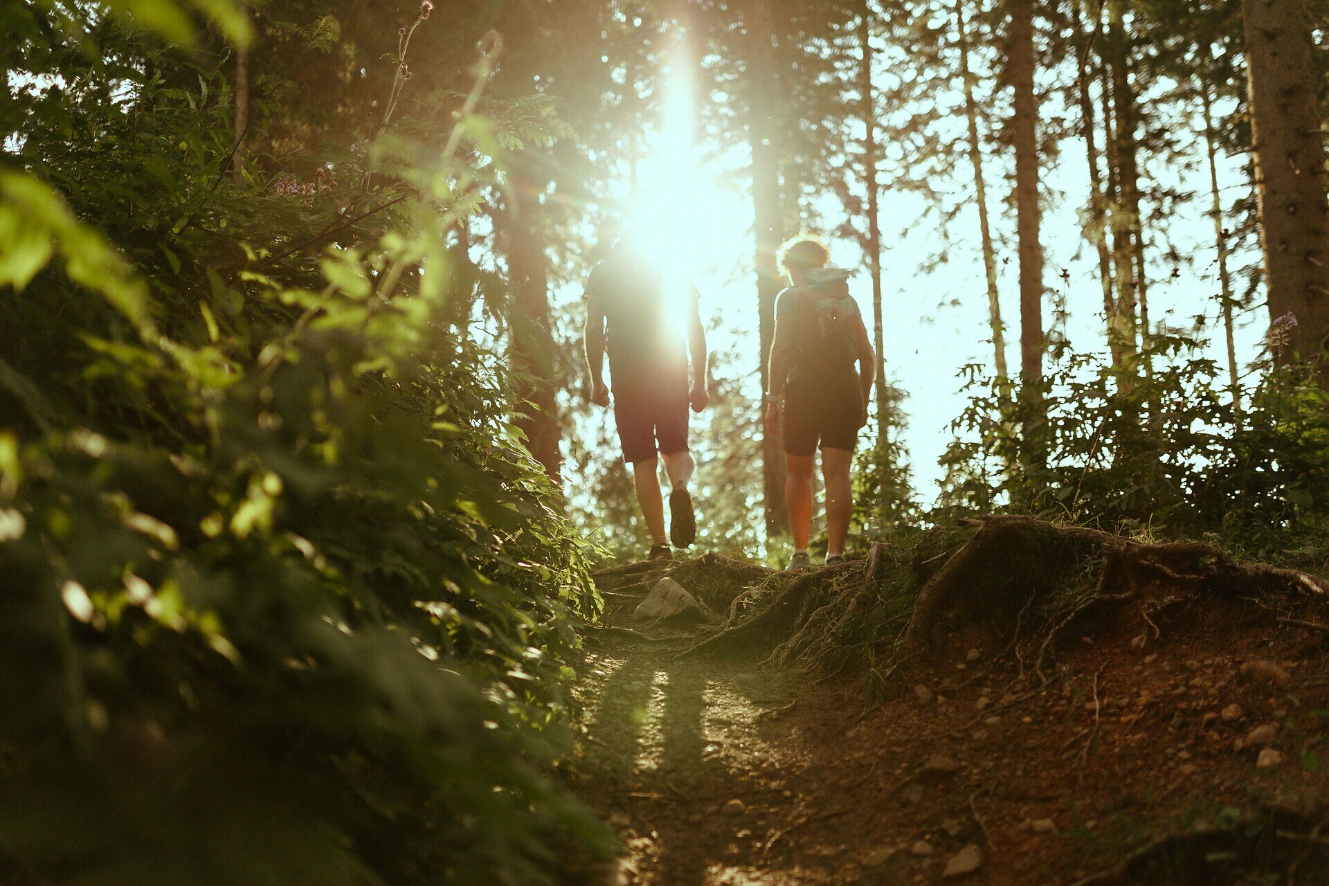
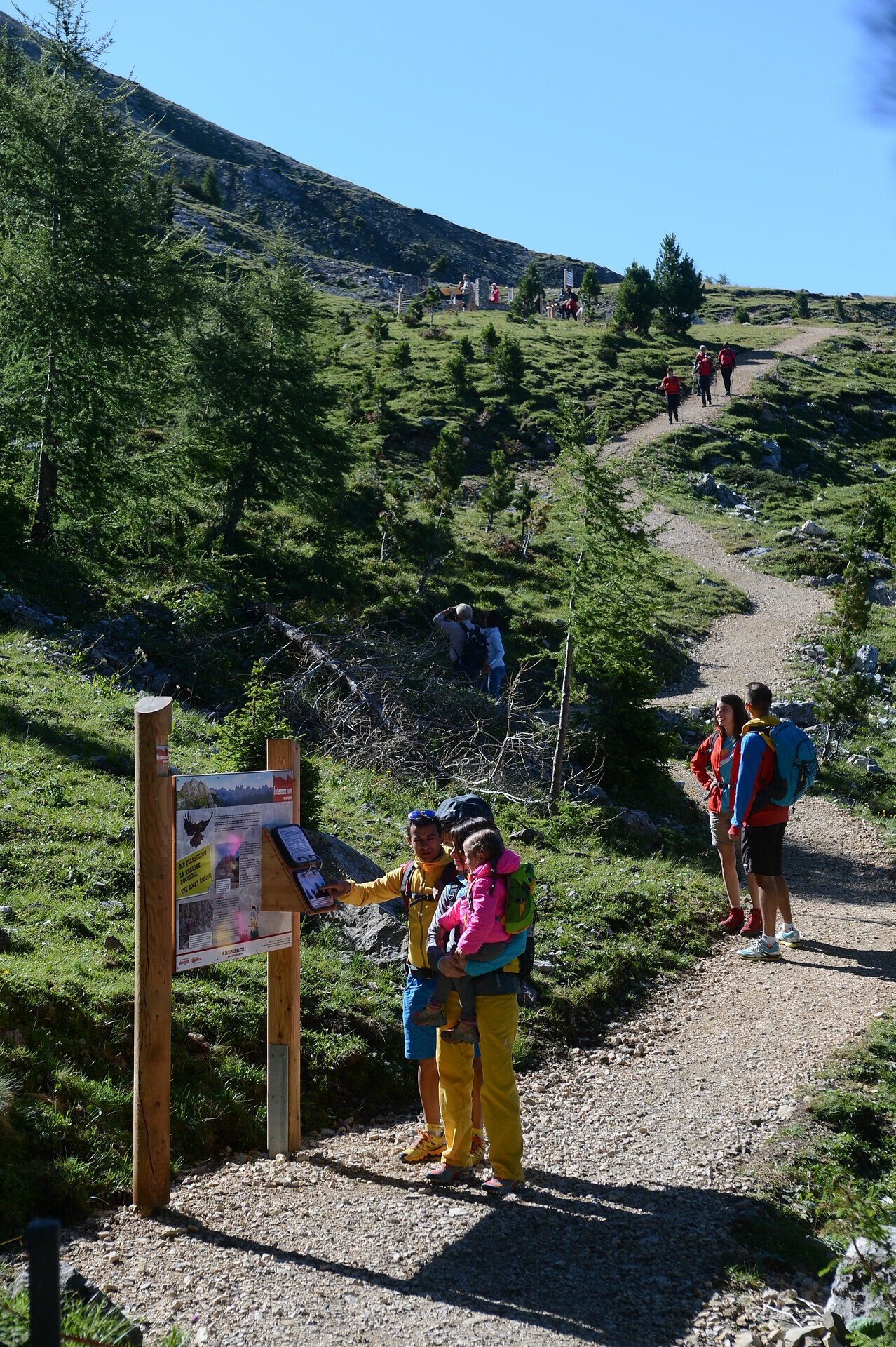
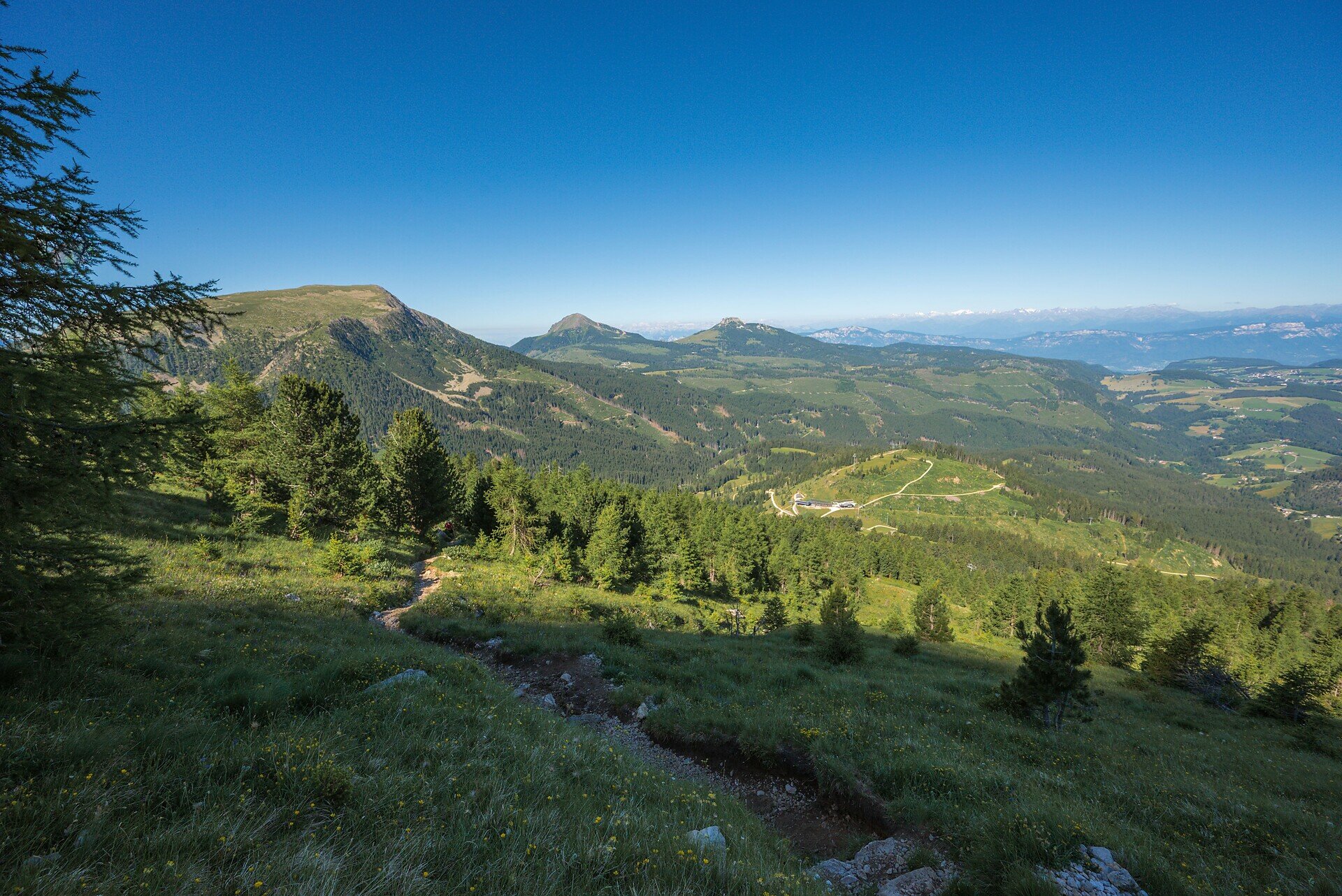
Panoramic circuit for all ages: Latemar.Natura offers families and hikers stunning views, interactive stations and an immersive Dolomites nature experience.

Latemar.Natura is a varied circular hike that combines breathtaking alpine scenery, interactive experiences and family-friendly exploration. Starting from the top station of the Oberholz chairlift, the trail leads to the stunning Latemar.360° viewing platform, offering an unforgettable panorama of the surrounding Dolomites. From there, the route continues across meadows and through open forests to the cozy Mayrl Alm, perfect for a relaxing break. Along the newly renovated return path, hikers of all ages will discover engaging nature stations that invite you to learn and explore the environment in a playful way. A perfect hike for families and nature lovers who want to experience the Dolomites with all senses.

Tags
  • Round trip
  • Family-friendly
Route info
Easy
Distance
3,1 km
Activity time
1 h 07 min
Ascent
151 m
Descent
150 m
Physical effort
Scenary
Highest point
2.171 m
Lowest point
2.037 m
You might be interested in
Discover related tours
Deutschnofen
Randonnée familiale : circuit des fermes de Petersberg
Distance 4,1 km
Activity time 1 h 05 min
Ascent 95 m
Descent 95 m
Status
open
Deutschnofen
Hike to the church St. Agatha | S. Agata
Distance 8,9 km
Activity time 2 h 24 min
Ascent 72 m
Descent 565 m
Status
open
Welschnofen
Du village de Karersee au lac de Karersee
Distance 1,9 km
Activity time 27 min
Ascent 0 m
Descent 90 m
Status
open
Welschnofen
Tour du Kaiserstein
Distance 16,8 km
Activity time 1 h 45 min
Ascent 113 m
Descent 256 m
Status
closed
Welschnofen
Randonnée familiale de Jolanda à la cabane Messnerjoch
Distance 4,0 km
Activity time 1 h 11 min
Ascent 152 m
Descent 152 m
Status
closed
Intermediate
Add to favourites
Deutschnofen
Randonnée familiale sur le sentier des alpages à Obereggen
Distance 10,7 km
Activity time 3 h 15 min
Ascent 442 m
Descent 442 m
Status
closed