Lavazè pass - Auer Leger hut

Deutschnofen, Obereggen
Add to favourites
Category
Difficulty
Intermediate
Activity time
3:22
Duration in hours
Distance
11.8
Distance in km
Status
closed
Suggested period
Jan
Feb
Mar
Apr
May
Jun
Jul
Aug
Sep
Oct
Nov
Dec

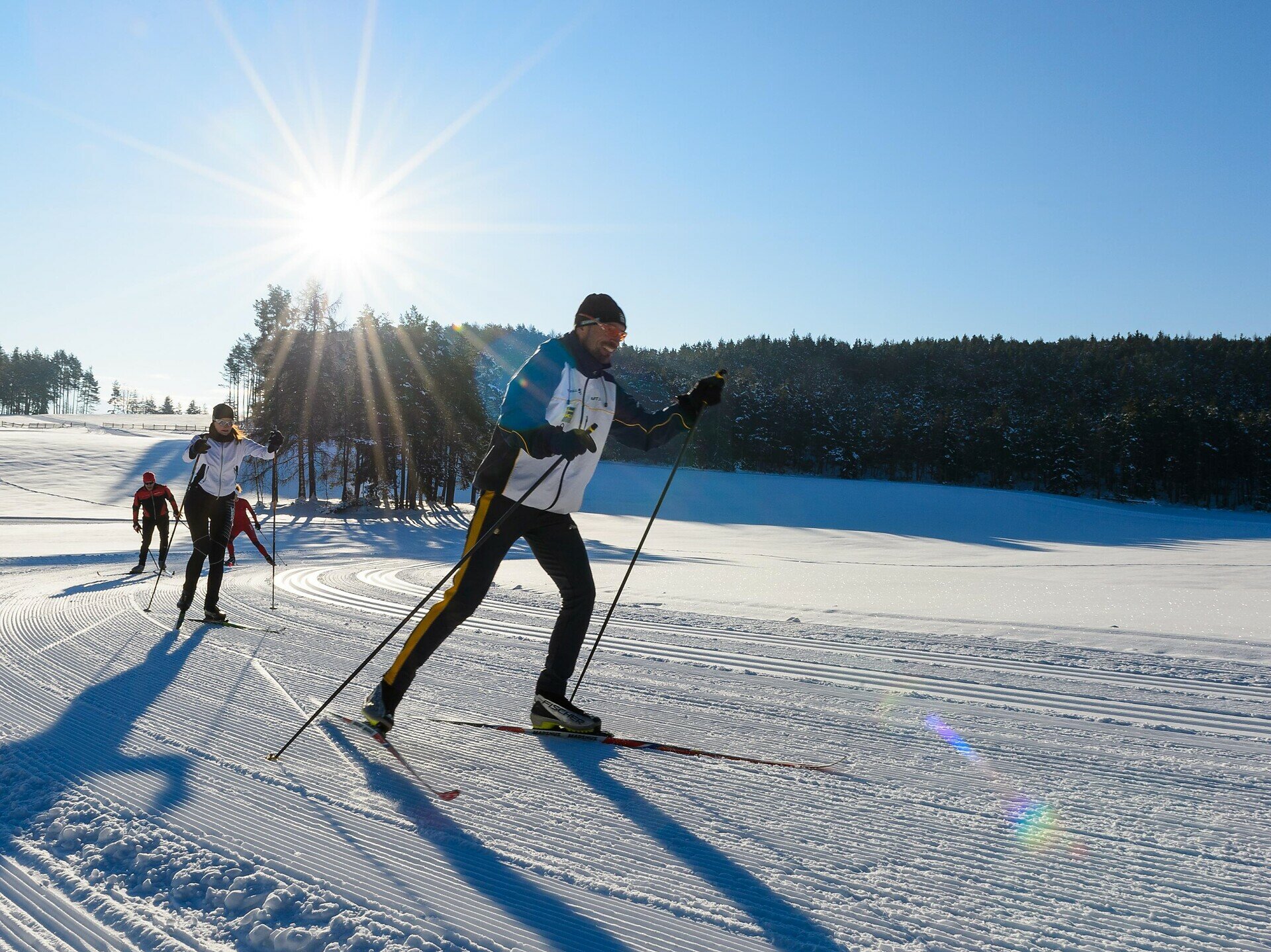
The Passo Lavazè (1800 m) is home to a number of trails leading through forests, across snowy plains and into the Fiemme Valley.

Route info
Intermediate
Distance
11,8 km
Activity time
3 h 22 min
Ascent
347 m
Descent
347 m
Technical skills
Physical effort
Scenary
Highest point
1.878 m
Lowest point
1.731 m
Directions

Lavazè pass, 1808m - Auer Leger hut 1872m 

public transportation
With the public bus line 184; bus stop: Passo Lavazè; online bus timetables: www.suedtirolmobil.info/en/

Timetable of the bus line 184:
https://www.suedtirolmobil.info/fileadmin/pdf/2022/184_20211212.pdf
How to get there

With the public bus line 184; bus stop: Passo Lavazè; online bus timetables: www.suedtirolmobil.info/en/

Timetable of the bus line 184:
https://www.suedtirolmobil.info/fileadmin/pdf/2022/184_20211212.pdf

Take highway´s exit “Bolzano Nord/Eggental”, turn right direction Bolzano/Bozen, after about 0,5 km on roundabout keep left and head towards Val d’Ega (SS 241). Keep driving up to Ponte Nova. At Ponte Nova’s crossroads, turn to the right and continue to Lavazè pass.

You might be interested in
Discover related tours
Intermediate
Add to favourites
Deutschnofen
Lupicino/Wölfl
Distance 14,1 km
Activity time 3 h 21 min
Ascent 190 m
Descent 190 m
Status
closed
Intermediate
Add to favourites
Deutschnofen
Schmieder hut - Köser valley
Distance 2,5 km
Activity time 39 min
Ascent 57 m
Descent 40 m
Obereggen
Ring Varena hut
Distance 5,3 km
Activity time 1 h 55 min
Ascent 207 m
Descent 207 m
Intermediate
Add to favourites
Deutschnofen
Laab - Neuhütt
Distance 3,5 km
Activity time 1 h 15 min
Ascent 148 m
Descent 11 m
Status
closed
Deutschnofen
Cross-country trail Pfösl
Distance 4,9 km
Activity time 1 h 21 min
Ascent 40 m
Descent 50 m
Status
closed
Welschnofen
Ring Angerle
Distance 2,8 km
Activity time 44 min
Ascent 47 m
Descent 48 m
Status
closed