







Difficulty
IntermediateActivity time
3:43
Duration in hours
Distance
11.1
Distance in km
Status
open
Categories
Tags
Discover the secrets of the universe with mascot Luxi on a hike between the Star Villages of Gummer | S. Valentino and Steinegg | Collepietra.
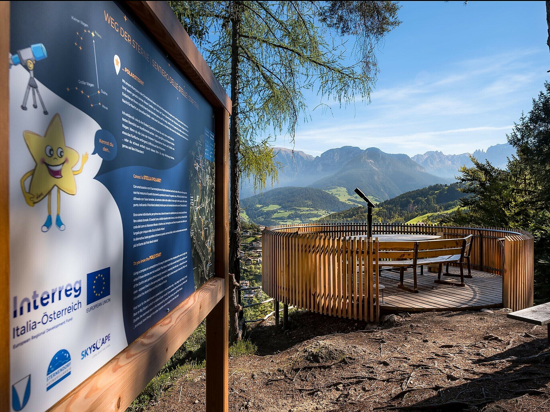
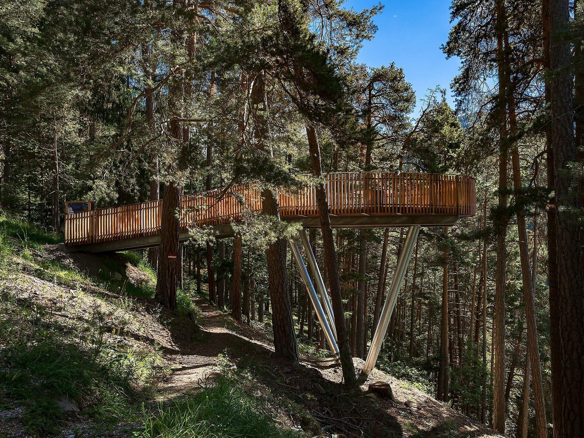
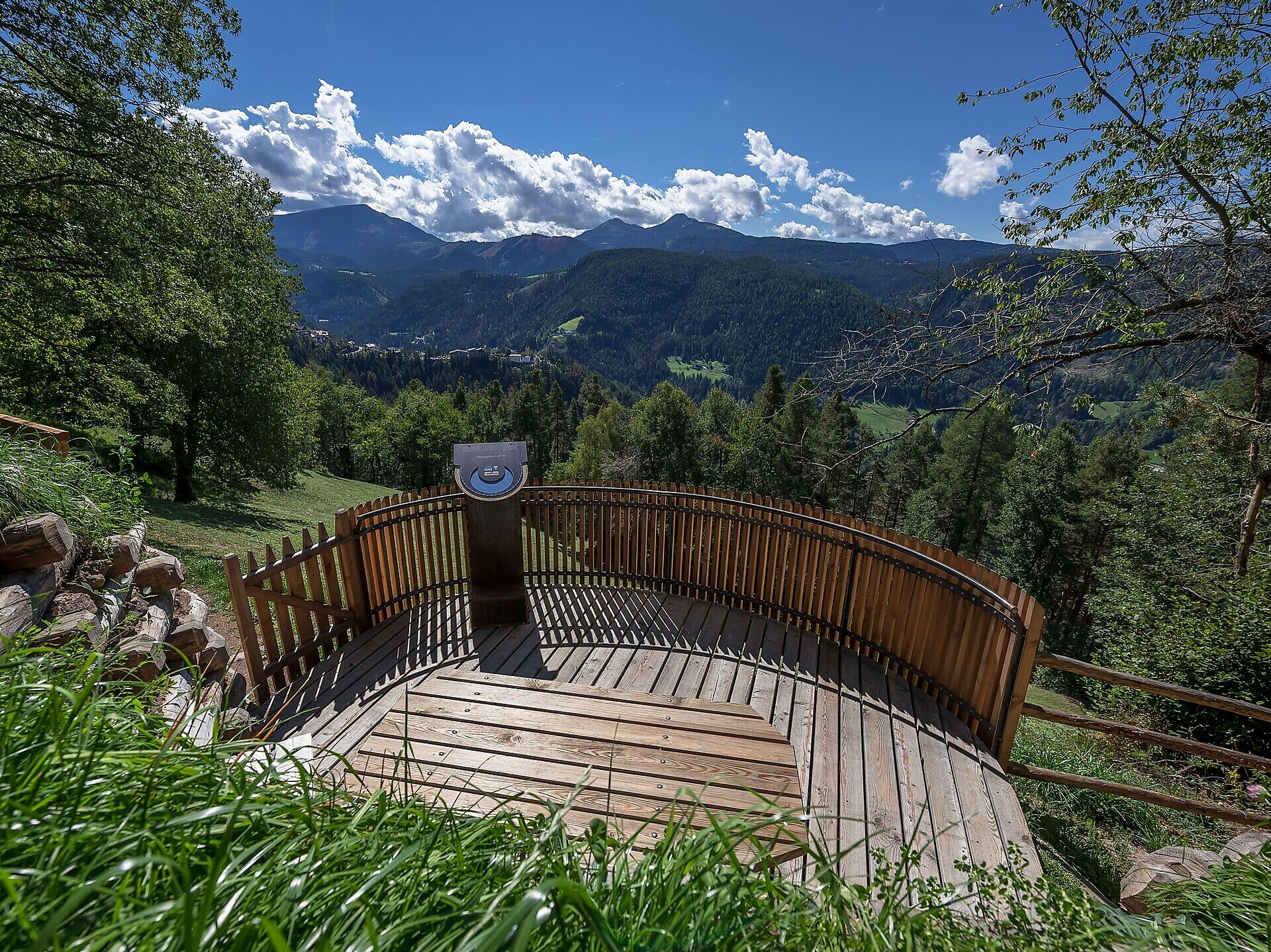
This theme trail connects the two star villages of Gummer | S. Valentino and Steinegg | Collepietra. On this varied hike, you can dive into the secrets of the starry sky and the universe together with our mascot LUXI at 5 different stations.
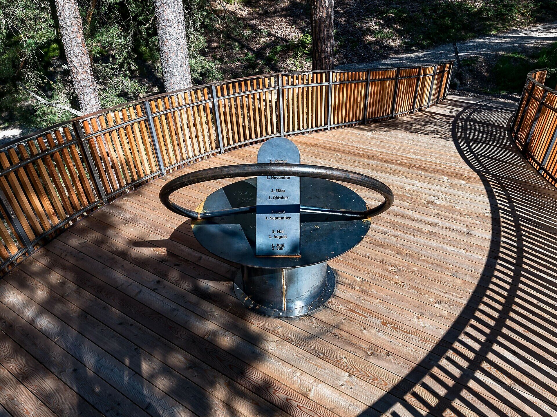
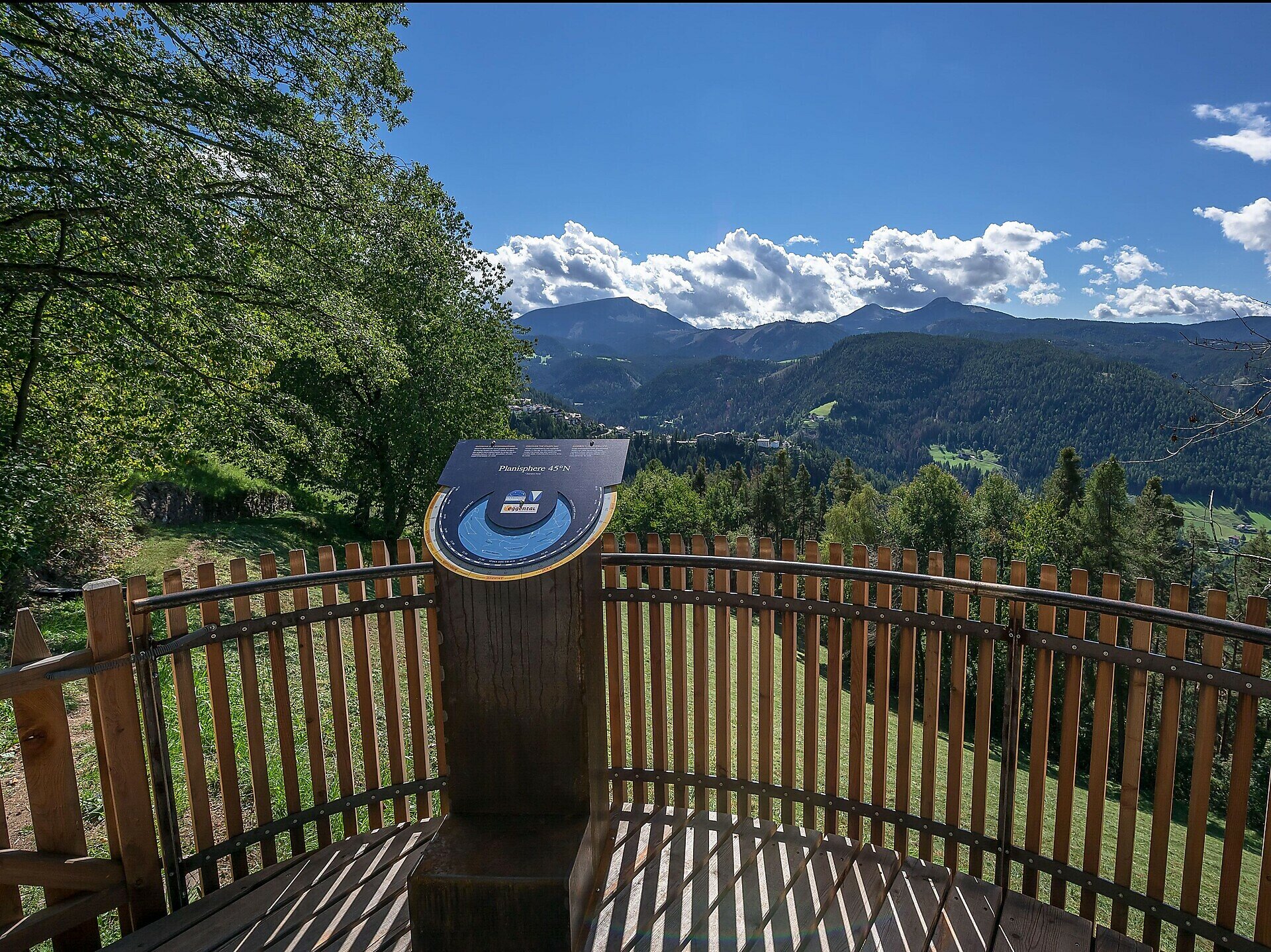
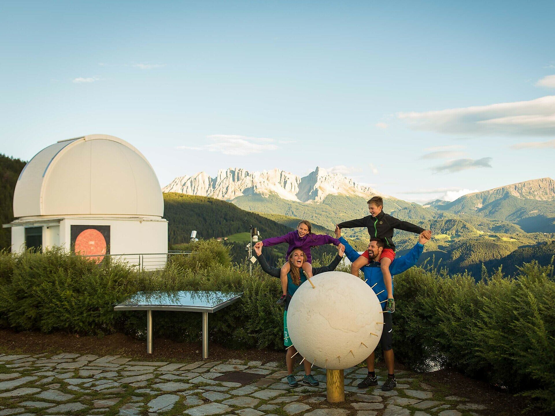
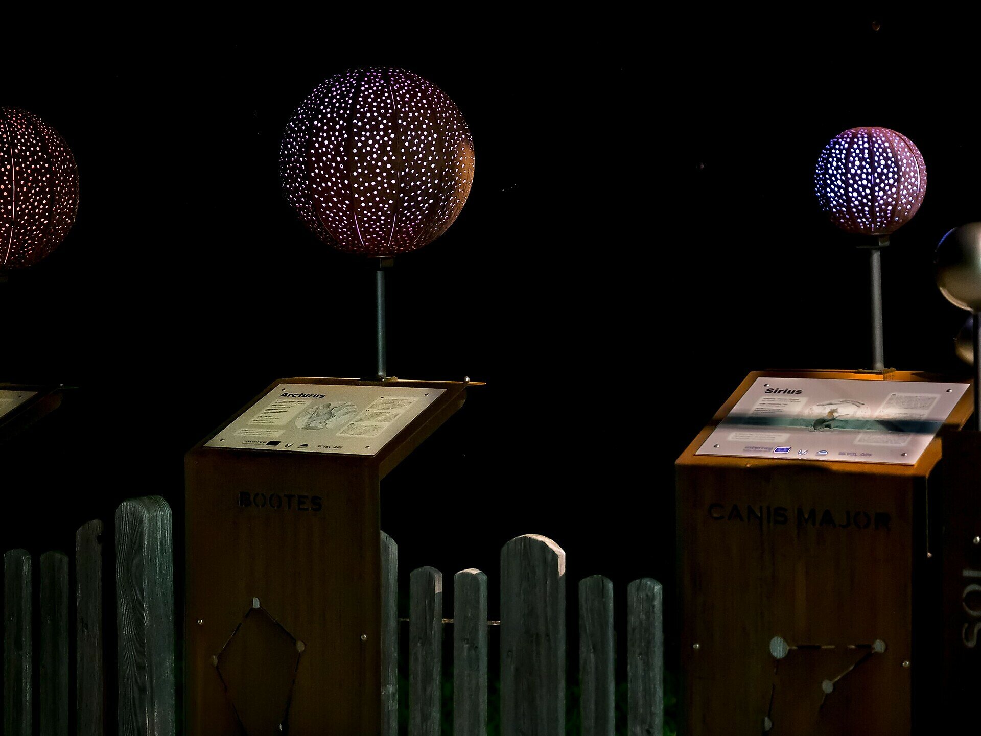
On the way, you will test a date sundial and a rotating star map, pass the observatory and solar observatory, learn how to orientate yourself in the night sky and finally you will end up at the Mini Star Trail in Steinegg | Collepietra, which is illuminated in the evening in the correct colours of the respective stars.
Possibilities for a break:
Video Path of the stars
On the way, you will test a date sundial and a rotating star map, pass the observatory and solar observatory, learn how to orientate yourself in the night sky and finally you will end up at the Mini Star Trail in Steinegg | Collepietra, which is illuminated in the evening in the correct colours of the respective stars.
Possibilities for a break:
- at the farm Untereggerhof at the observatory after 2.5 km (approx. 1 hour) from Gummer|S.Valentino
- in the village of Steinegg|Collepietra at the end of the Path of the Stars you will find two local shops and various places to stop for a break:
- Gasthof Pizzeria Unterwirt
- Hotel Berghang
- Hotel Steineggerhof
Video Path of the stars
Gallery



You might be interested in
Discover related tours


