Top

Le sentier des étoiles, de Viltun près de Gummer à Steinegg

Steinegg
Add to favourites
Difficulty
Intermediate
Activity time
3:43
Duration in hours
Distance
11.1
Distance in km
Status
open
WSEN
Categories
  • Hiking trail
Tags
  • Linear route
  • Insider tip
  • Refreshment stops available
  • Family-friendly
  • Flora
Suggested period
Jan
Feb
Mar
Apr
May
Jun
Jul
Aug
Sep
Oct
Nov
Dec
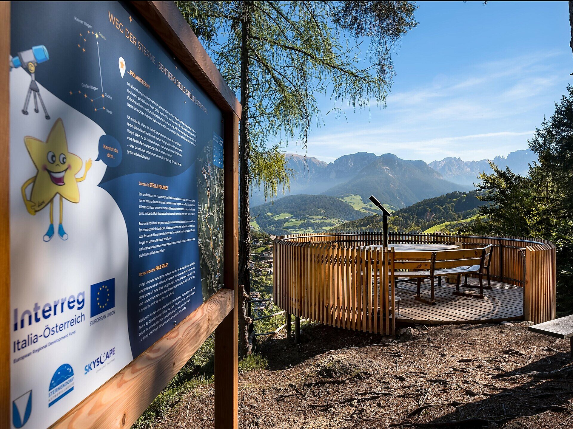
Discover the secrets of the universe with mascot Luxi on a hike between the Star Villages of Gummer | S. Valentino and Steinegg | Collepietra.
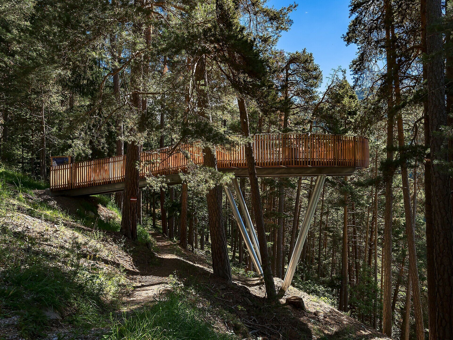
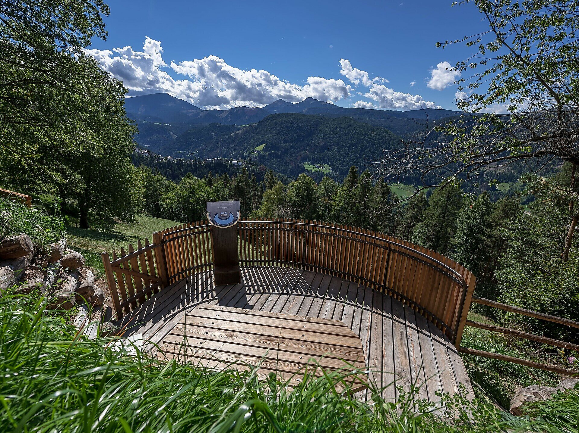
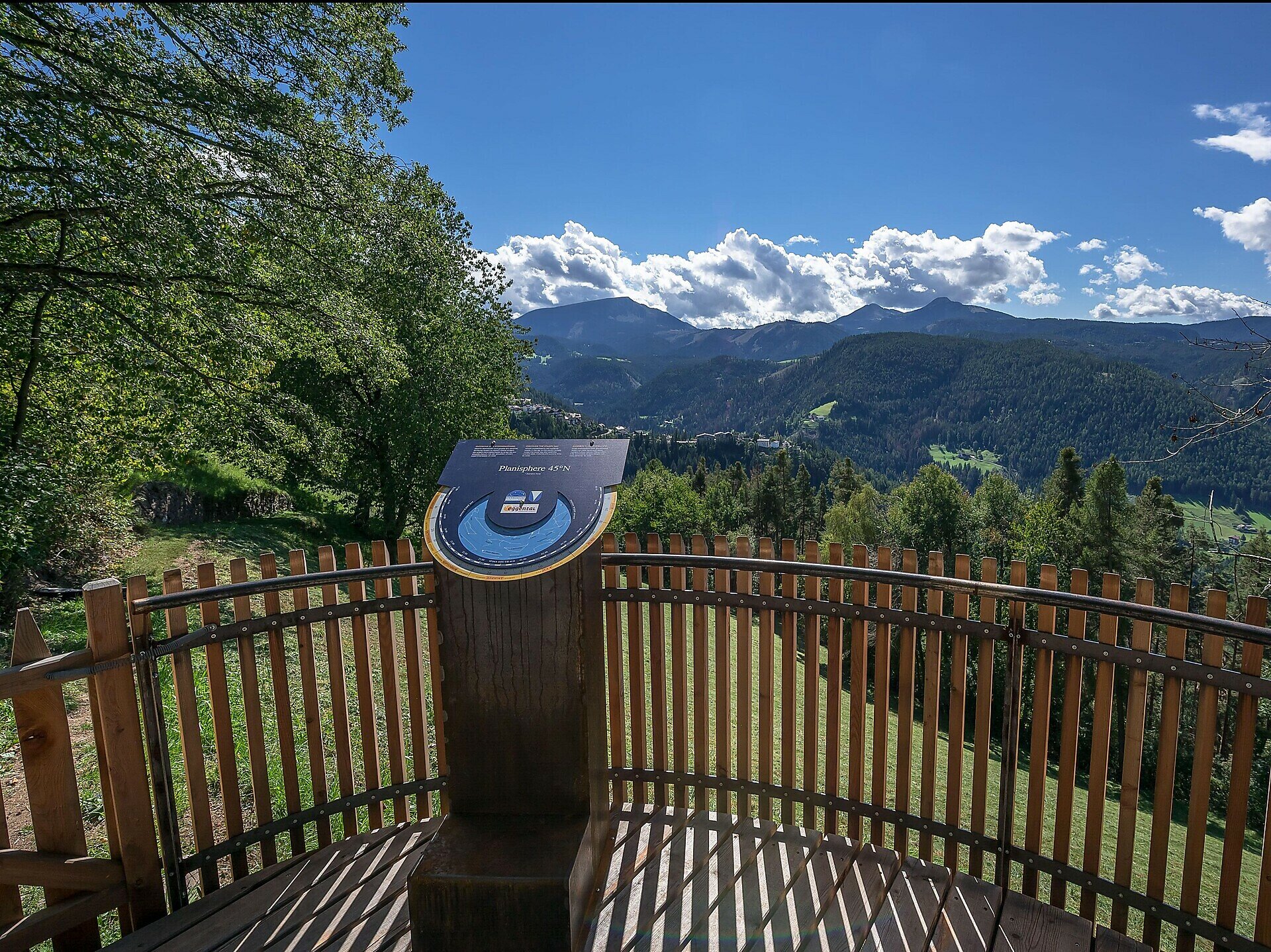
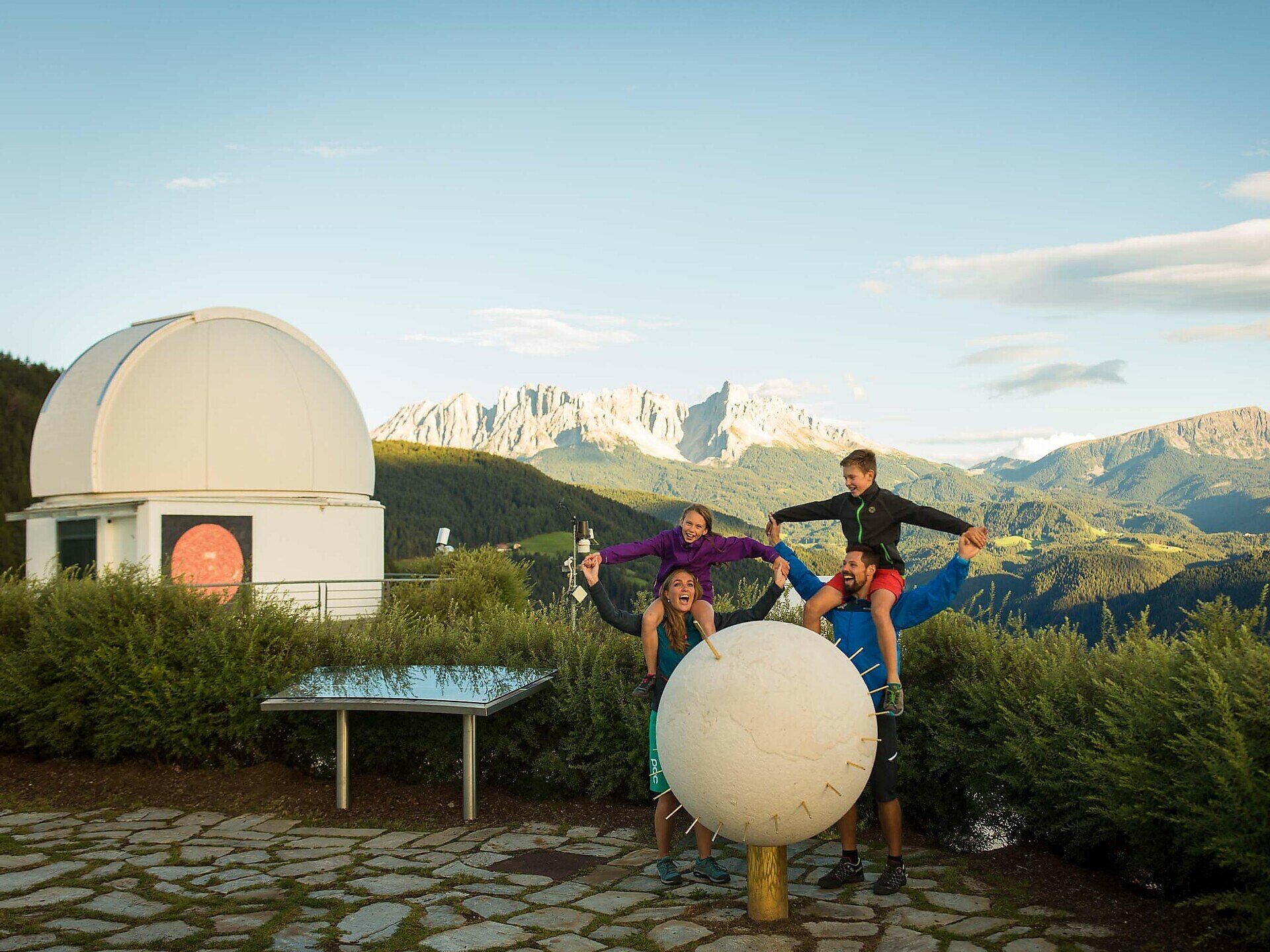
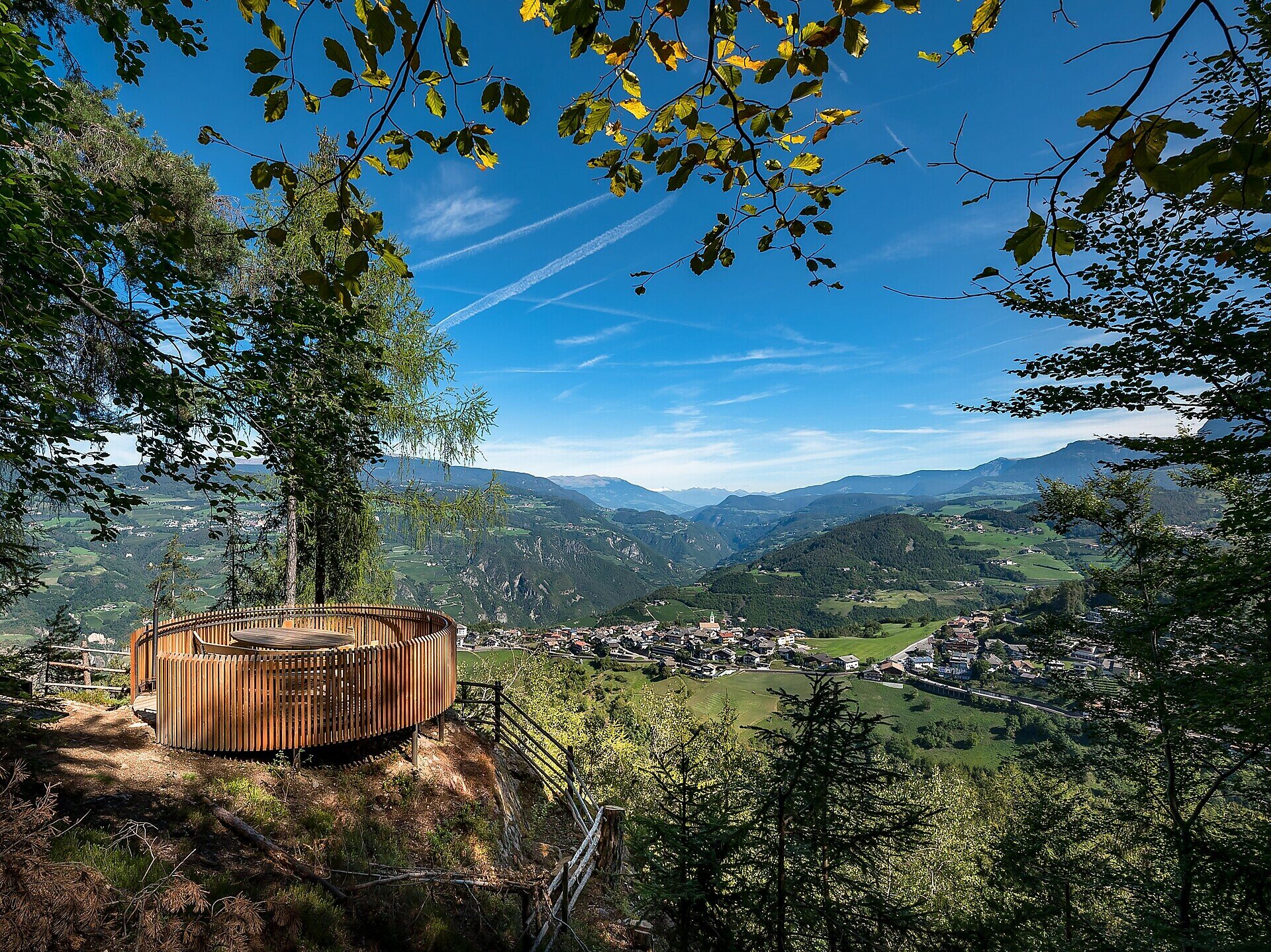
This theme trail connects the two star villages of Gummer | S. Valentino and Steinegg | Collepietra. On this varied hike, you can dive into the secrets of the starry sky and the universe together with our mascot LUXI at 5 different stations.
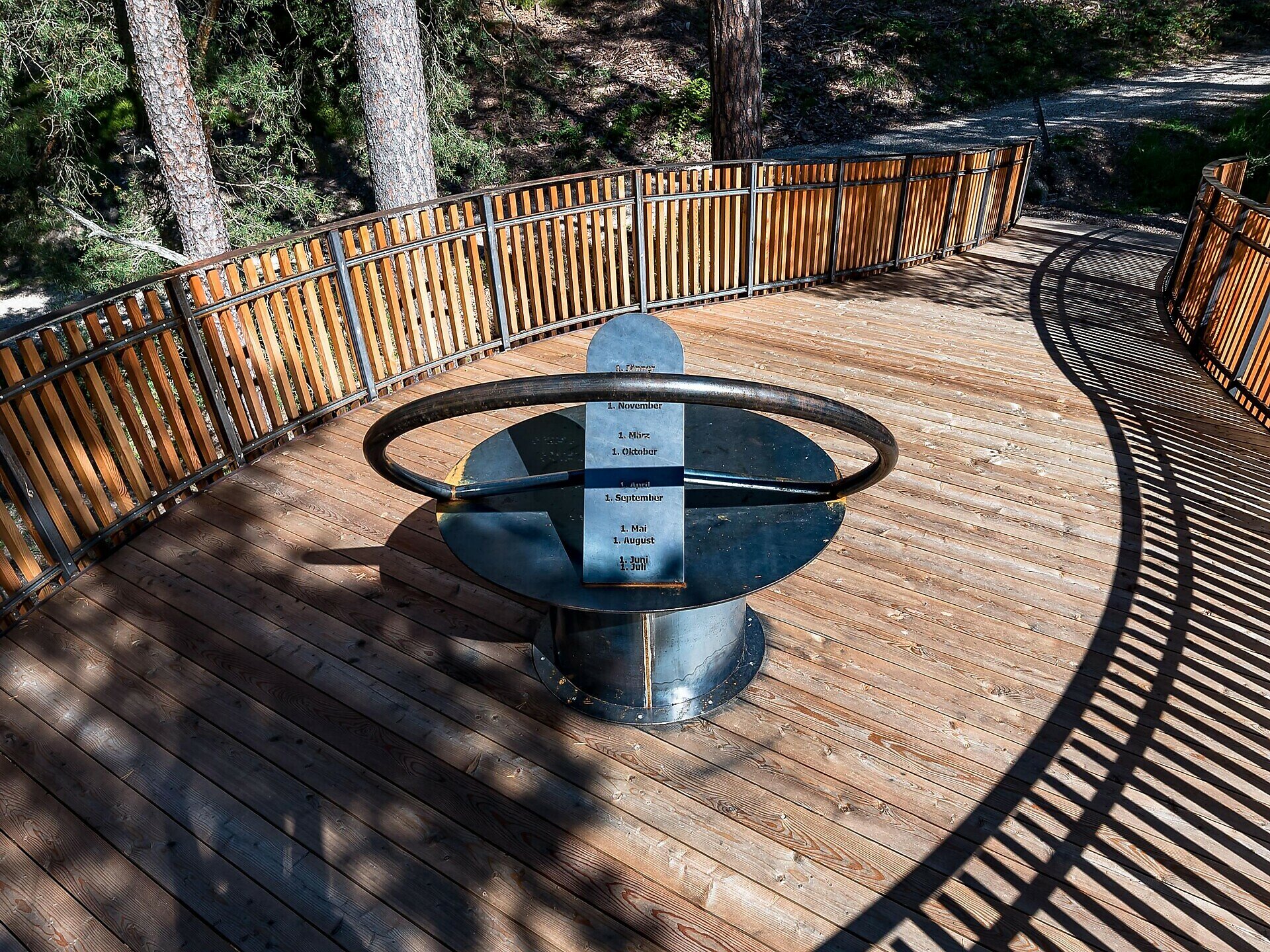
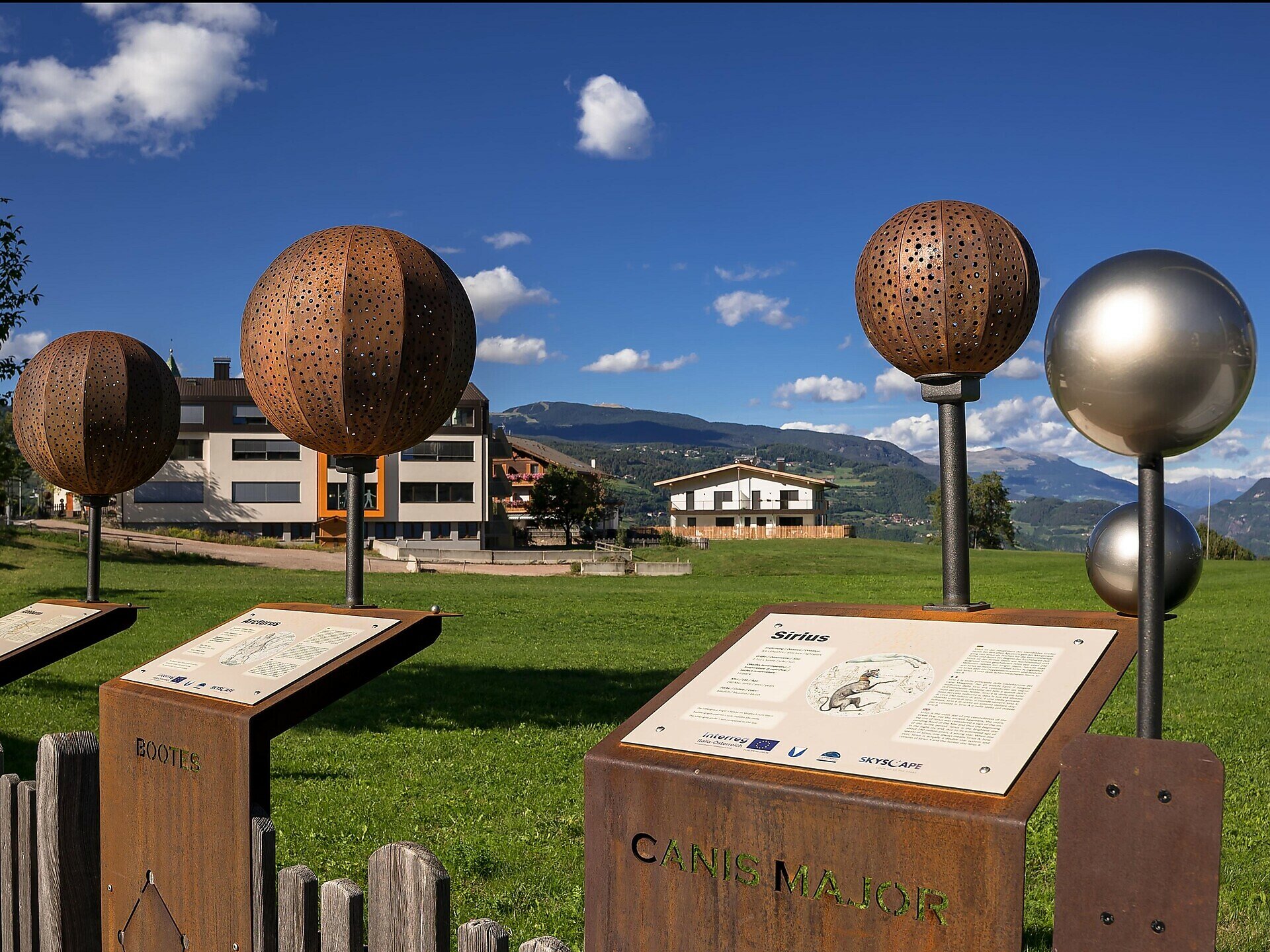
On the way, you will test a date sundial and a rotating star map, pass the observatory and solar observatory, learn how to orientate yourself in the night sky and finally you will end up at the Mini Star Trail in Steinegg | Collepietra, which is illuminated in the evening in the correct colours of the respective stars.

Possibilities for a break:
  • at the farm Untereggerhof at the observatory after 2.5 km (approx. 1 hour) from Gummer|S.Valentino
  • in the village of Steinegg|Collepietra at the end of the Path of the Stars you will find two local shops and various places to stop for a break:
    • Gasthof Pizzeria Unterwirt
    • Hotel Berghang
    • Hotel Steineggerhof
Here is a little taster of what awaits you:
Video Path of the stars
Gallery

Categories
  • Hiking trail
Tags
  • Linear route
  • Insider tip
  • Refreshment stops available
  • Family-friendly
  • Flora
Route info
Intermediate
Distance
11,1 km
Activity time
3 h 43 min
Ascent
534 m
Descent
138 m
Physical effort
Scenary
Highest point
1.329 m
Lowest point
801 m
Suggestions
Hike can also be started from the Star Village of Steinegg | Collepietra and done in the opposite direction
You might be interested in
Discover related tours
Deutschnofen
Randonnée en famille : circuit d'Oclini-Jochgrimm
Distance 5,5 km
Activity time 1 h 35 min
Ascent 168 m
Descent 168 m
Status
open
Intermediate
Add to favourites
Deutschnofen
Randonnée de Deutschnofen au sanctuaire de Maria Weißenstein
Distance 12,3 km
Activity time 3 h 50 min
Ascent 475 m
Descent 475 m
Status
open
Welschnofen
Du parking de Kaiserstein au refuge Masarè
Distance 1,5 km
Activity time 40 min
Ascent 189 m
Descent 0 m
Status
open
Intermediate
Add to favourites
Steinegg
Circuit de randonnée sur le Rittersteig, de Steinegg au Wiedenhof
Distance 11,1 km
Activity time 3 h 45 min
Ascent 604 m
Descent 601 m
Status
open
Intermediate
Add to favourites
Welschnofen
Randonnée à la découverte des fermes à Welschnofen
Distance 10,5 km
Activity time 3 h 14 min
Ascent 477 m
Descent 477 m
Status
open
Intermediate
Add to favourites
Steinegg
Circuit de randonnée de Steinegg à l'auberge Wiedenhof
Distance 9,8 km
Activity time 3 h 30 min
Ascent 490 m
Descent 491 m
Status
open
© Gabriel Eisath
Neu
Der offizielle WhatsApp-Kanal von Eggental Tourismus!
Abonniere unseren Kanal

Verpasse keine Neuigkeiten mehr! Folge unserem neuen WhatsApp-Kanal und erhalte aktuelle News, Veranstaltungstipps und besondere Highlights aus dem Eggental direkt auf dein Handy.

Wir freuen uns auf dich!