
Top
Long-distance hiking E5: Deutschnofen | Nova Ponente to Oberradein | Redagno di Sopra
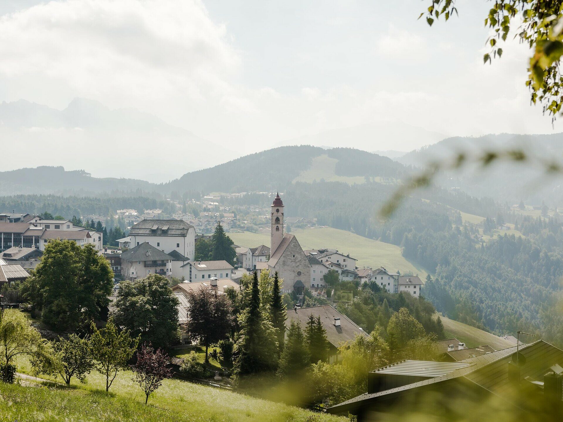
Deutschnofen
Add to favouritesCategory

Difficulty
IntermediateActivity time
4:09
Duration in hours
Distance
12.4
Distance in km
Status
closed
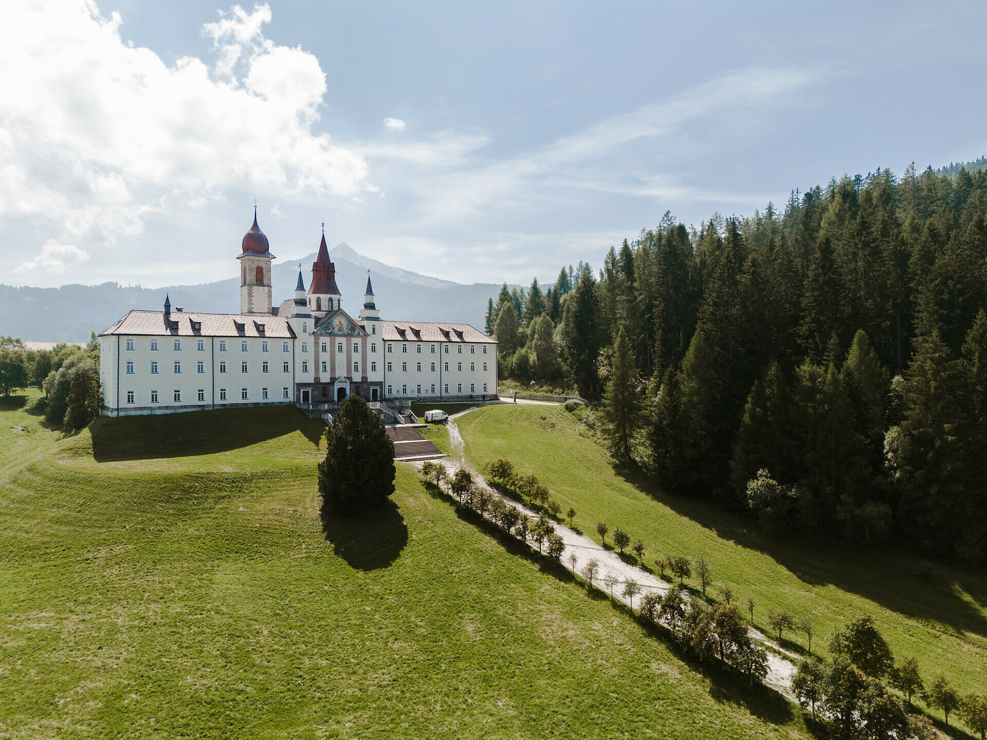
From Deutschnofen | Nova Ponente via Maria Weißenstein and Lahner hut to the Bletterbach Geoparc. Through the gorge with unique rock formations to Oberradein | Redagno di Sopra.
Stage 13: The stage starts in the center of Deutschnofen | Nova Ponente and leads to the pilgrimage church of Maria Weißenstein | Pietralba, an important cultural highlight. It continues to Lahner hut, perfect for a relaxing break, before reaching the Bletterbach Geoparc visitor center. The route then passes through the impressive gorge with its striking rock formations and ends in Oberradein | Redagno di Sopra.
Note: The Bletterbach gorge can only be visited with a helmet (available on site). It is not recommended in rainy or stormy conditions.
Dining options: restaurant Stern, Rössl Café, restaurant Weißenstein | Pietralba, Lahner hut
Note: The Bletterbach gorge can only be visited with a helmet (available on site). It is not recommended in rainy or stormy conditions.
Dining options: restaurant Stern, Rössl Café, restaurant Weißenstein | Pietralba, Lahner hut
You might be interested in
Discover related tours


