Top

Longue boucle hivernale au lac de Carezza

Welschnofen
Add to favourites
Category
Difficulty
Easy
Activity time
1:33
Duration in hours
Distance
5.6
Distance in km
Status
open
Suggested period
Jan
Feb
Mar
Apr
May
Jun
Jul
Aug
Sep
Oct
Nov
Dec
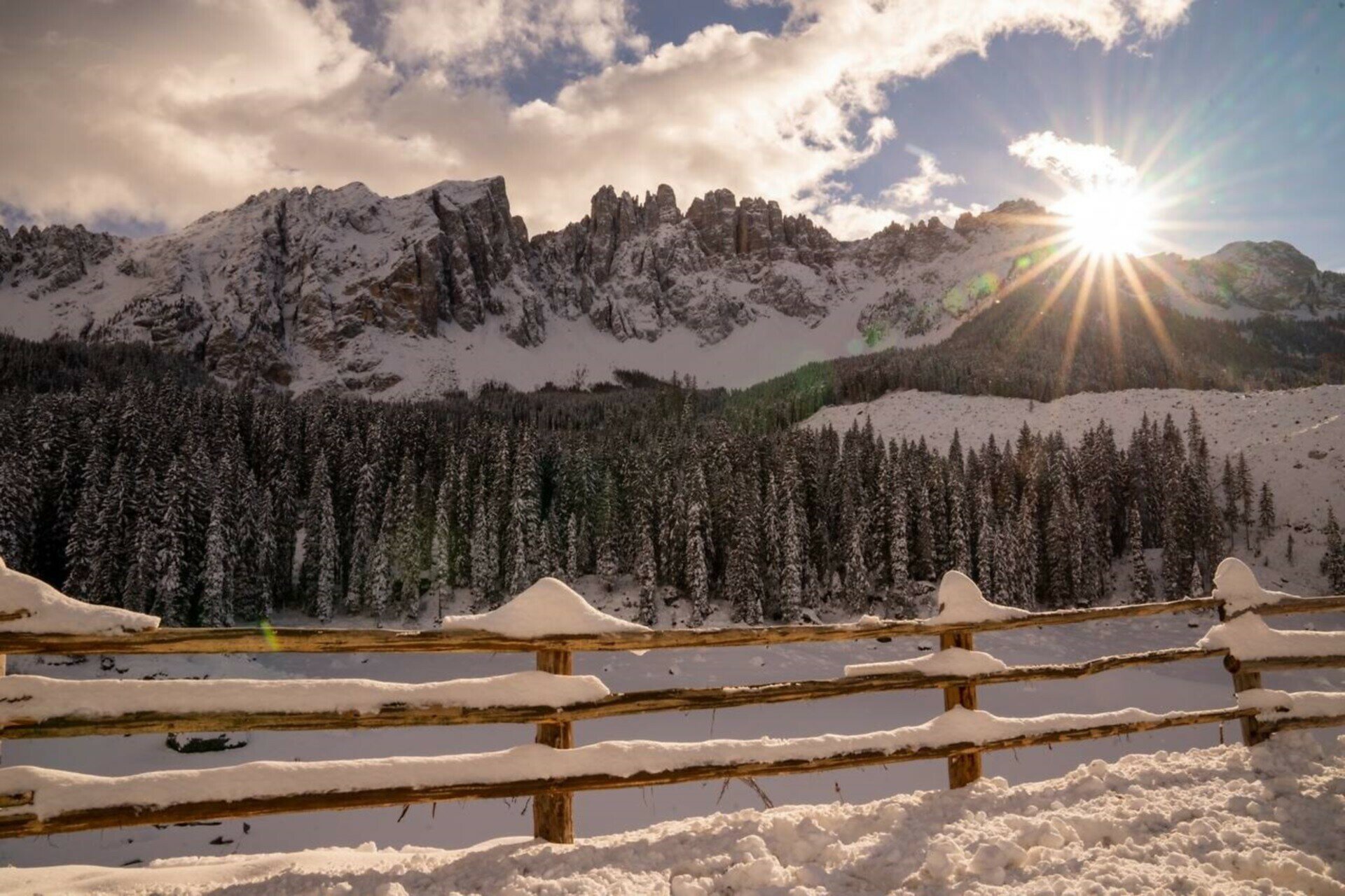
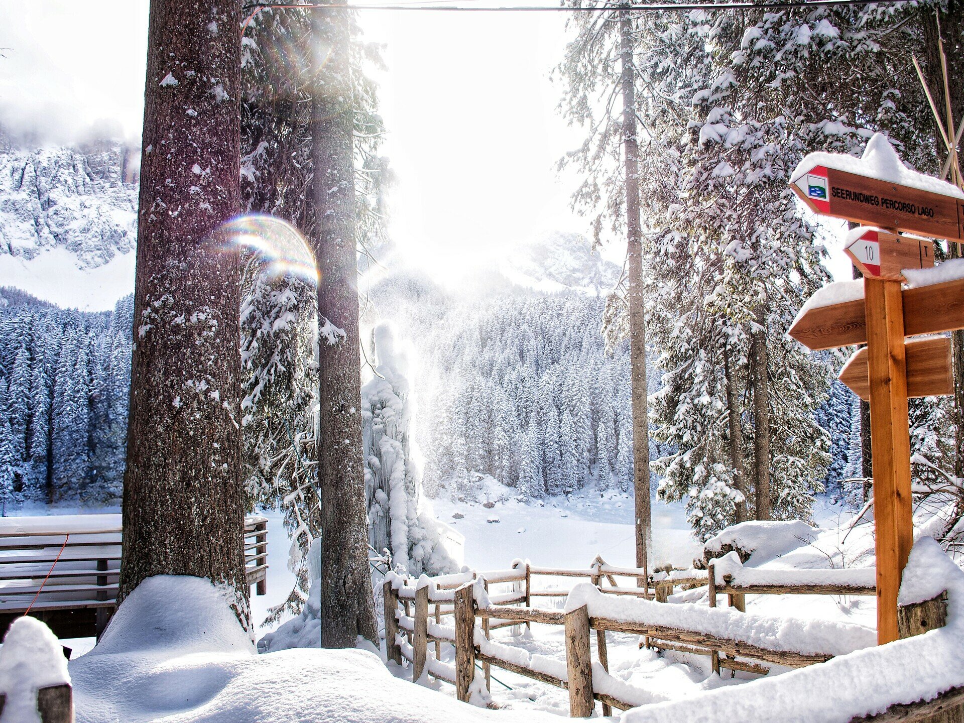
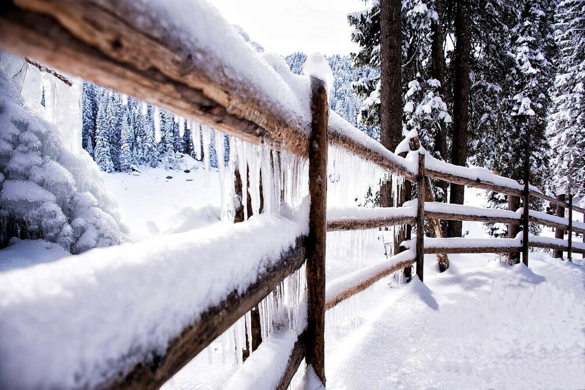
Enveloped in ice and snow, Lake Carezza is almost magical. The circular trail offers a dreamlike view of the snow-covered Dolomites and winds through the peaceful Latemar forest.
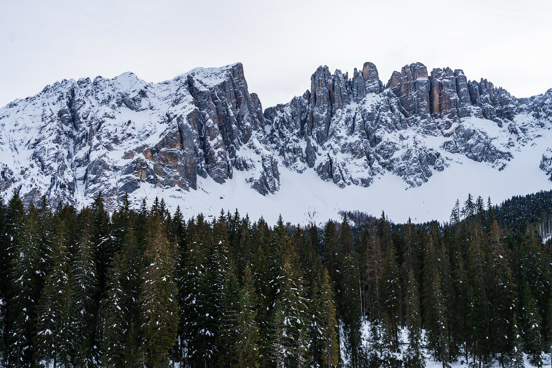
In its winter coat, Lake Carezza (Karer See | Lake Carezza) has a charm of its own. The water surface, which appears so crystal clear and inviting in summer, transforms in the cold months into an enchanting world of ice and snow, surrounded by the white Dolomite mountains of Rosengarten | Catinaccio and Latemar. The long circular path starts from the small holiday village of Karersee | Carezza, crosses the suspension bridge, then passes by Lake Carezza and continues into the snowy Latemar forest, where you can enjoy the fresh mountain air and tranquility.
Route info
Easy
Distance
5,6 km
Activity time
1 h 33 min
Ascent
127 m
Descent
130 m
Technical skills
Physical effort
Scenary
Highest point
1.636 m
Lowest point
1.538 m
You might be interested in
Discover related tours
Welschnofen
Randonnée hivernale vers les prairies de Frin au lac de Carezza
Distance 4,0 km
Activity time 1 h 10 min
Ascent 141 m
Descent 141 m
Status
open
Welschnofen, Karersee
Randonnée d'hiver du col de Karer au lac de Karer
Distance 4,7 km
Activity time 1 h 10 min
Ascent 11 m
Descent 221 m
Status
open
Deutschnofen
Randonnée hivernale de l'Alpage Laab à l'Alpage Neuhütt
Distance 7,0 km
Activity time 1 h 48 min
Ascent 152 m
Descent 154 m
Status
open
Welschnofen
Randonnée d'hiver du lac de Karer à l'Alm Stadl
Distance 8,0 km
Activity time 2 h 07 min
Ascent 84 m
Descent 93 m
Status
open
Intermediate
Add to favourites
Steinegg, Welschnofen
Randonnée d'hiver à Obergummer
Distance 11,9 km
Activity time 3 h 27 min
Ascent 391 m
Descent 391 m
Status
open
Intermediate
Add to favourites
Deutschnofen
Randonnée d'hiver d'Obereggen à la cabane de montagne Oberholz
Distance 9,0 km
Activity time 3 h 00 min
Ascent 519 m
Descent 519 m
Status
open