
Difficulty
IntermediateActivity time
1:35
Duration in hours
Distance
4.5
Distance in km
Status
open
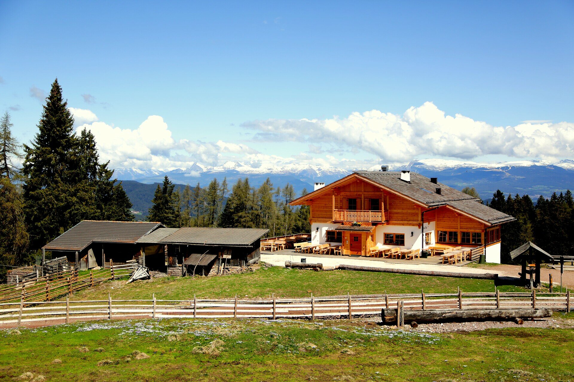
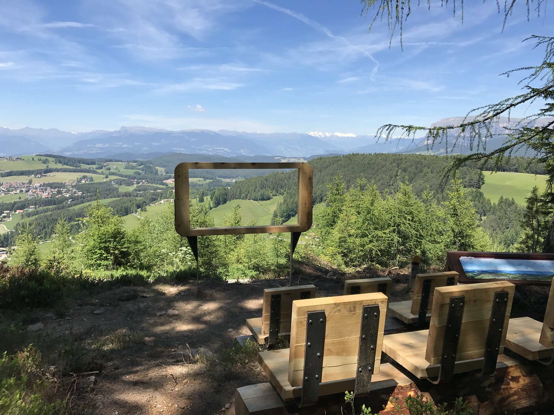
Easy hike to Laab Alm with stunning mountain cinema views over Deutschnofen and the Dolomites. Perfect for families and leisure hikers.
The hike to the charming Laab Alm leads through a peaceful and scenic area southeast of Deutschnofen. The trail features the unique “Eggental Valley cinema,” offering breathtaking views of the village of Deutschnofen and majestic peaks such as the Ötztal Alps, Brenta group, Schlern, Rosengarten, and Latemar. This comfortable route is perfect for families, leisure hikers, and nature lovers seeking tranquility and stunning mountain panoramas. Along the way, cozy alpine huts invite hikers to rest and enjoy traditional local cuisine, making the tour a delightful culinary experience as well.
You might be interested in
Discover related tours


