Multi-Day hike from the Catinaccio to the Sciliar - 2. Stage

Karersee
Add to favourites
Category
Difficulty
Difficult
Activity time
4:05
Duration in hours
Distance
9.1
Distance in km
Suggested period
Jan
Feb
Mar
Apr
May
Jun
Jul
Aug
Sep
Oct
Nov
Dec

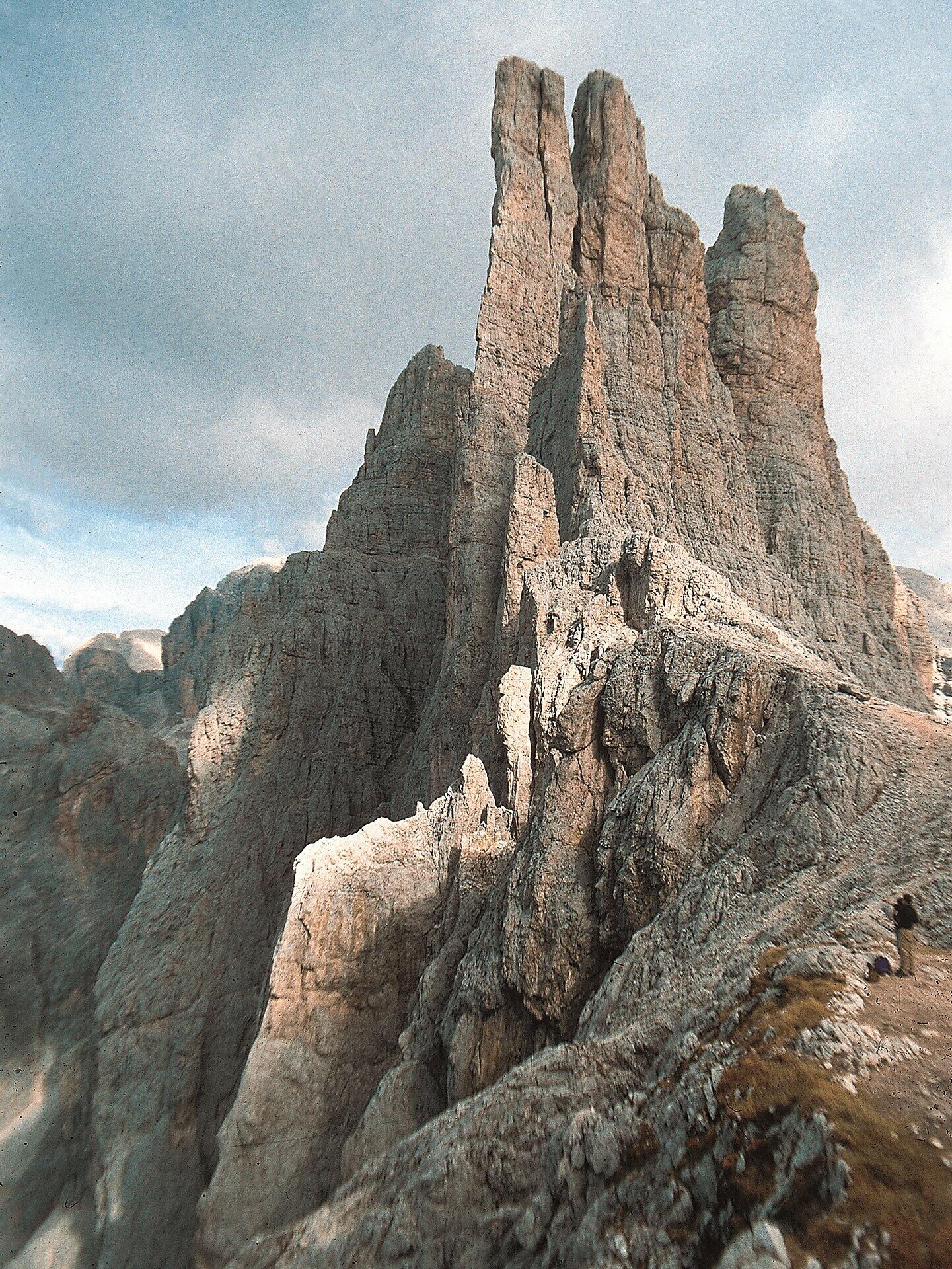
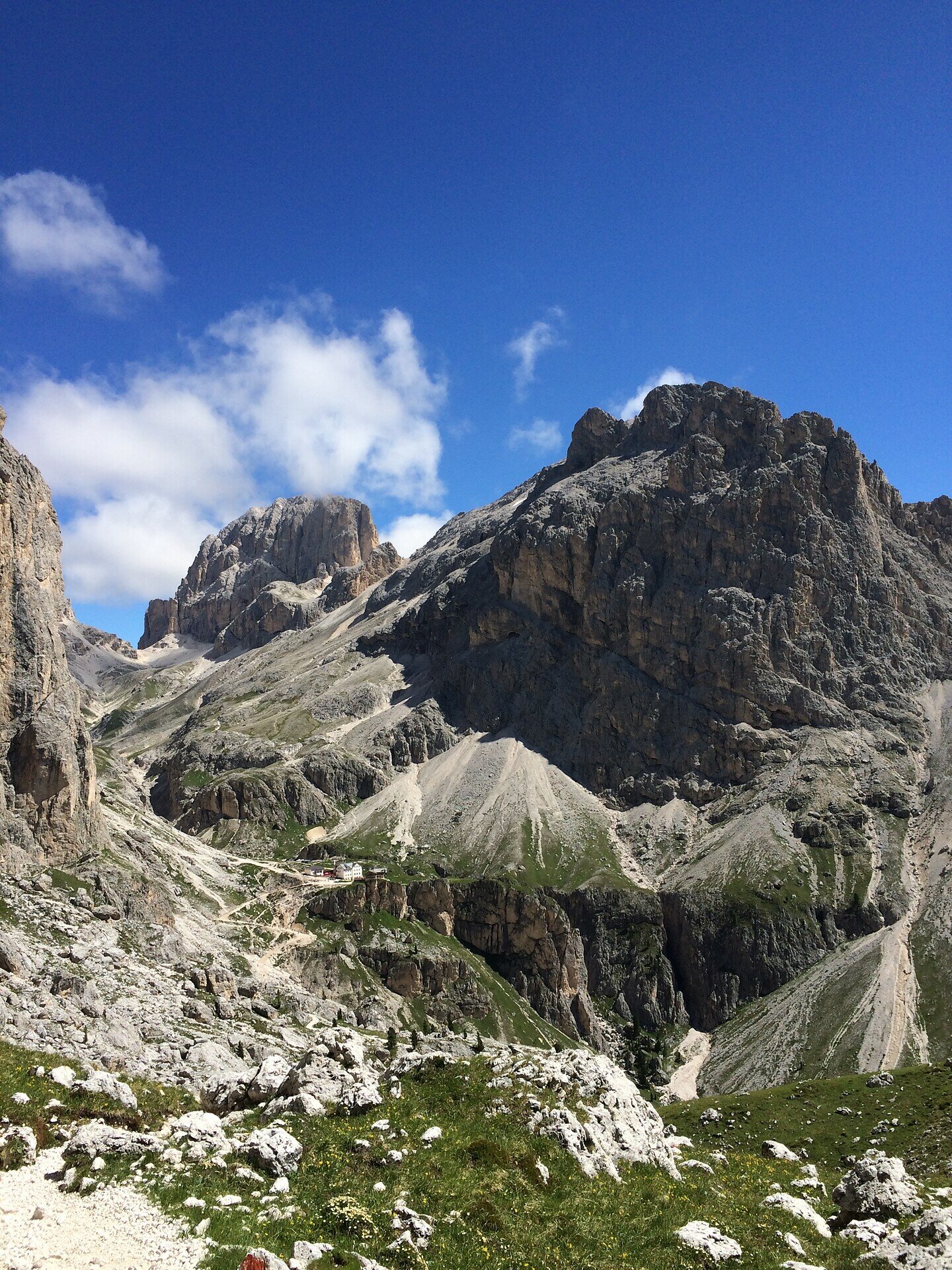
The second stage of the multi-day hike starts with the ascent to the Passo Cigolade. The descent from the pass leads to the Rif. Vajolet, the second accommodation. After the check-in an ascent to the Passo Santner is possible.


Route info
Difficult
Distance
9,1 km
Activity time
4 h 05 min
Ascent
909 m
Descent
938 m
Physical effort
Scenary
Highest point
2.726 m
Lowest point
2.180 m
You might be interested in
Discover related tours
Intermediate
Add to favourites
Karersee, Obereggen, Welschnofen, Deutschnofen
Dolomites World Heritage Geotrail II - 2e étape : du col Lavazè au col de Karer
Distance 21,4 km
Activity time 6 h 50 min
Ascent 708 m
Descent 765 m
Status
closed
Karersee
Multi-Day hike from the Catinaccio to the Sciliar - 3. Stage
Distance 12,4 km
Activity time 4 h 23 min
Ascent 1.038 m
Descent 829 m
Karersee, Welschnofen
Multi-Day hike from the Catinaccio to the Sciliar
Distance 49,8 km
Activity time 17 h 49 min
Ascent 4.209 m
Descent 4.209 m
Intermediate
Add to favourites
Steinegg, Deutschnofen
Multiday Hike - Alpine Pearls - 5. stage
Distance 18,9 km
Activity time 5 h 50 min
Ascent 373 m
Descent 1.423 m
Intermediate
Add to favourites
Karersee, Obereggen, Steinegg, Welschnofen, Deutschnofen
Randonnée de cinq jours - Circuit des perles du Tyrol du Sud
Distance 86,6 km
Activity time 28 h 50 min
Ascent 3.595 m
Descent 3.595 m
Intermediate
Add to favourites
Welschnofen, Karersee
Multi day trekking "Sentiero Italia" - Stage: Rif. Fronza A. Coronelle-San Cipriano (Tires)
Distance 14,2 km
Activity time 3 h 50 min
Ascent 236 m
Descent 1.562 m
Status
closed