Top

Randonnée de plusieurs jours "Sentiero Italia" - Étape : Refuge de Cologne - St. Zyprian (Tiers)

Welschnofen, Karersee
Add to favourites
Category
Difficulty
Intermediate
Activity time
3:50
Duration in hours
Distance
14.2
Distance in km
Status
open
Suggested period
Jan
Feb
Mar
Apr
May
Jun
Jul
Aug
Sep
Oct
Nov
Dec

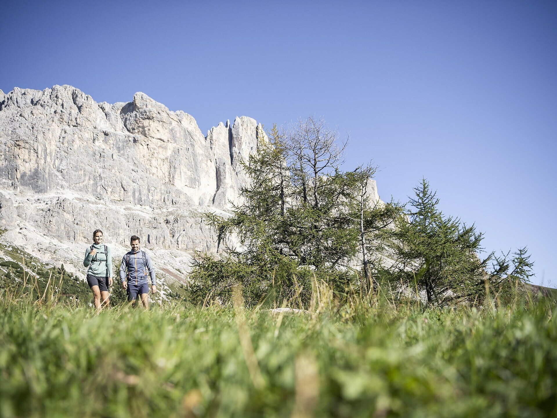
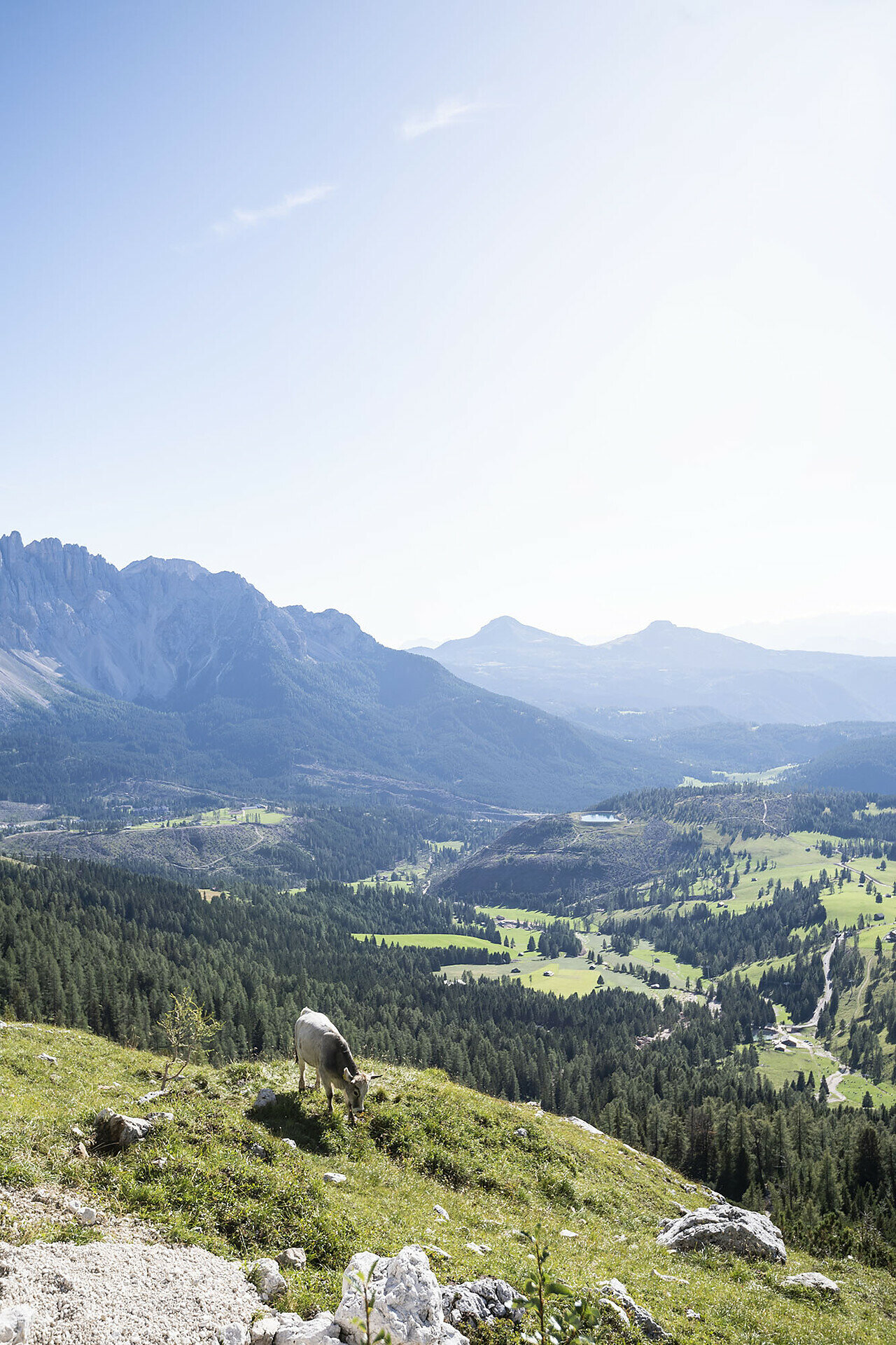
A journey through the Wonderland - from north to south!

The "Sentiero Italia" is one of the longest hiking trails in the world: over 7,000 kilometres.

There are about 400 stages that connect the Alps with the Apennines. 

Tags
  • Linear route
Route info
Intermediate
Distance
14,2 km
Activity time
3 h 50 min
Ascent
236 m
Descent
1.562 m
Physical effort
Scenary
Highest point
2.334 m
Lowest point
923 m
You might be interested in
Discover related tours
Intermediate
Add to favourites
Karersee, Obereggen, Welschnofen, Deutschnofen
Geotrail Dolomites World Heritage II - 2e étape : du col de Lavazè au col de Costalunga
Distance 21,4 km
Activity time 6 h 50 min
Ascent 708 m
Descent 765 m
Status
open
Intermediate
Add to favourites
Steinegg, Deutschnofen
Randonnée de cinq jours sur le sentier de randonnée circulaire des perles - 5e étape
Distance 18,9 km
Activity time 5 h 50 min
Ascent 373 m
Descent 1.423 m
Status
open
Intermediate
Add to favourites
Obereggen, Deutschnofen
Randonnée de plusieurs jours "Sentiero Italia" - Étape : Col de Lavazè - Obereggen
Distance 6,4 km
Activity time 2 h 20 min
Ascent 382 m
Descent 251 m
Status
open
Karersee
Randonnée de quatre jours Rosengarten/Schlern - 3e étape
Distance 12,4 km
Activity time 4 h 23 min
Ascent 1.038 m
Descent 829 m
Status
open
Karersee, Welschnofen
Randonnée de quatre jours dans les domaines du Rosengarten et du Schlern
Distance 49,8 km
Activity time 17 h 49 min
Ascent 4.209 m
Descent 4.209 m
Status
open
Deutschnofen, Welschnofen
Randonnée sur plusieurs jours "Sentiero Italia" - Étape : Obereggen-Refuge de Cologne
Distance 19,3 km
Activity time 6 h 32 min
Ascent 965 m
Descent 569 m
Status
open