Randonnée de cinq jours sur le circuit des perles - 2e étape
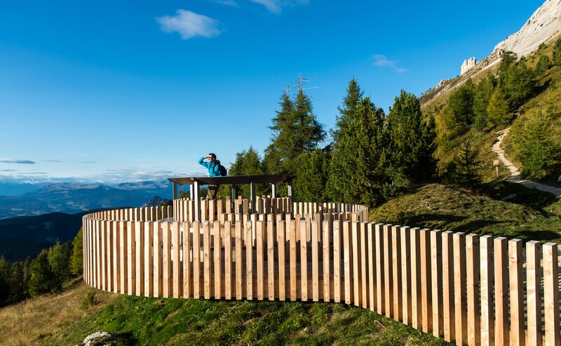
On this stage, you will immerse yourself deeply in the legendary mountain landscape of the Dolomites. The trail leads you through the picturesque Tiers Valley and repeatedly offers breathtaking views of the majestic Rosengarten | Catinaccio massif, renowned for the so-called "Enrosadira" – the Alpenglow. Particularly impressive is the transition to the Niger Pass | Passo Nigra, from where the view opens up to the Latemar massif and the surrounding alpine meadows.
- Linear route
Next stage begins in Tiers | Tires and leads among trail [2] to St. Zyprian | S. Cipriano. Trail [7] takes from St. Zyprian | S. Cipriano to trail [1A] in direction to the Nigerpass | Passo Nigra. Reached the pass follow again trail [1A] till the restaurant Tschein hut. This trail goes through forests and meadows and ends at the mountain pass, Karerpass | Passo di Costalunga.
There are numerous possibilities for accommodation.
Bus stops: Tiers | Tires, St. Zyprian | S. Cipriano, Nigerpass | Passo Nigra, Frommer Alm hut, restaurant Tschein hut, Karerpass | Passo di Costalunga.
Getting to the starting point of the tour by public transport is easy and convenient.
By public bus line:
- 180 from Bozen | Bolzano, Birchabruck | Ponte Nova*
- 180 or 184 from Karerpass | Passo Costalunga*
- 184 from Weissenstein | Pietralba, Petersberg | Monte San Pietro, Deutschnofen | Nova Ponente, Stenk (or 181 and change 180)*
- 184 from Obereggen, Eggen | Ega (or 184 and change 180)*
- 187 from Steinegg | Collepietra, Gummer | San Valentino (or 182 *and change 180)*
- 180 from Val di Fassa*
*all bus lines require a change to line 186
Bus stop: St. Zyprian | S. Cipriano Tiers | Tires; online timetable search at www.suedtirolmobil.info/en/
Meeting point: St. Zyprian | S. Cipriano Tiers | Tires: https://goo.gl/maps/SWRcYg2TxJXR18GG6
By car:
Destination: St. Zyprian | S. Cipriano Tiers | Tires
Parking: parking lot cableway Tiers | Tires
Meeting point: St. Zyprian | S. Cipriano Tiers | Tires: https://goo.gl/maps/SWRcYg2TxJXR18GG6
Parking: parking lot cableway Tiers | Tires
Meeting point: St. Zyprian | S. Cipriano Tiers | Tires: https://goo.gl/maps/SWRcYg2TxJXR18GG6


