
Category

Difficulty
EasyActivity time
3:00
Duration in hours
Distance
9.2
Distance in km
Status
open
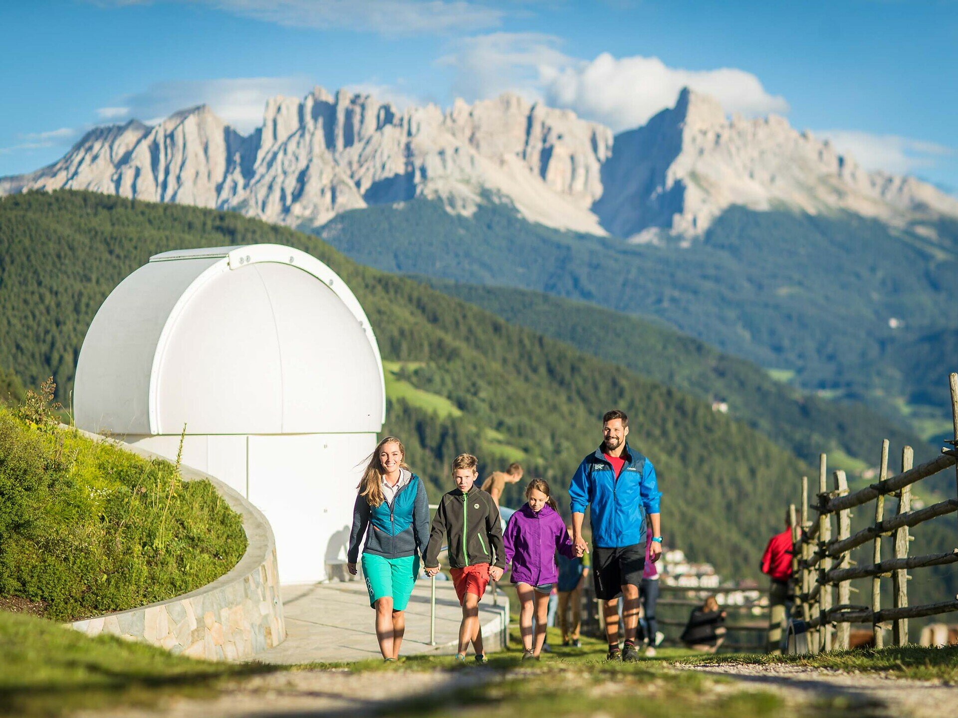
The Planet Path takes you on an exciting hike through our solar system on a scale of 1:1 billion. You will learn fascinating facts about our planets at nine stations.
You hike through the beautiful natural landscape of the Eggental Valley and take a journey through our solar system - the Planet Path makes it possible! This special hike brings you closer to the fascinating vastness of the universe.
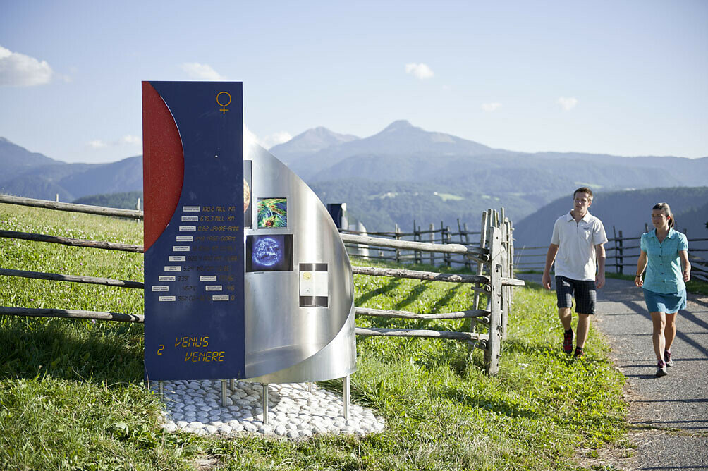
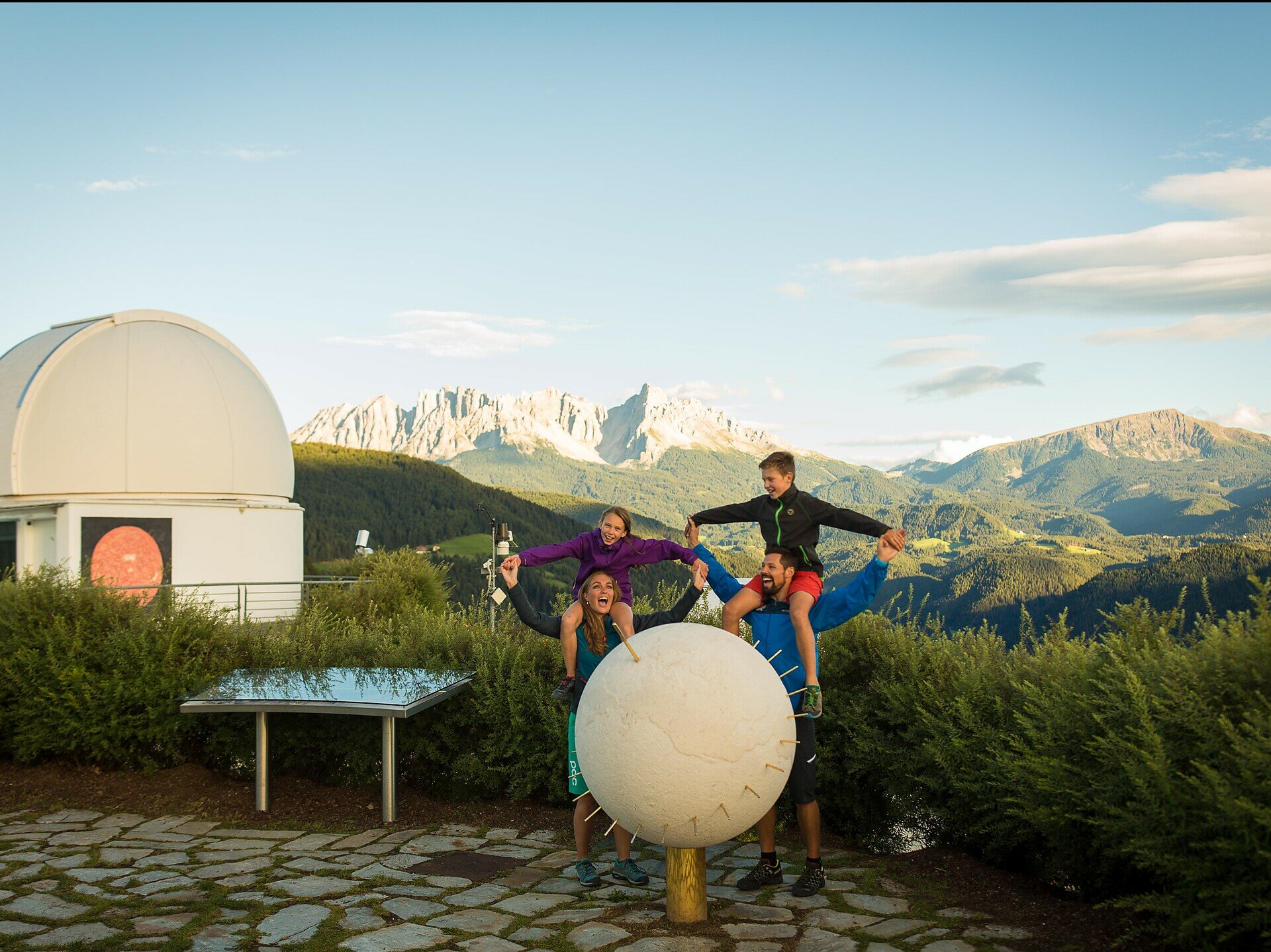
Starting from our star, the sun, which can be seen on the wall of the observatory, you will find all 8 planets of our solar system as well as the dwarf planet Pluto at their true-to-scale distance from the sun. Every step you take corresponds to about 1 million kilometres. And yet you will be travelling for almost 3 hours until you have visited all the planets.
At each station, you will learn exciting facts about the celestial bodies and their unique characteristics.
TIP Audio guide:
Download the free app izi.TRAVEL onto your mobile phone and search for the "Planetary Trail Gummer". Activate the GPS function on your mobile phone and you'll have your own personal audio guide with you on the tour. At each planet station, this digital guide will tell you interesting facts about the respective planet.
The Planet Path is not only an adventure for anyone interested in astronomy, but also for nature lovers who want to enjoy the tranquillity and beauty of the South Tyrolean landscape.
The route is easy to walk and takes you through idyllic forests, over gentle hills and along vantage points that offer you ever-changing views of the mountains.
Important note: There are no refreshment stops along the entire circular route. However, at the start and end of this hike you will find the Unteregger inn, which will spoil you with South Tyrolean specialities.
Gallery


You might be interested in
Discover related tours


