Top

Randonnée dans les gorges du Bletterbach

Deutschnofen
Add to favourites
Difficulty
Intermediate
Activity time
3:56
Duration in hours
Distance
11.5
Distance in km
Status
open
Categories
  • Hiking trail
Suggested period
Jan
Feb
Mar
Apr
May
Jun
Jul
Aug
Sep
Oct
Nov
Dec
From Maria Weißenstein through pastures into Bletterbach Gorge – a must for hikers, nature lovers, and those seeking cultural insight.

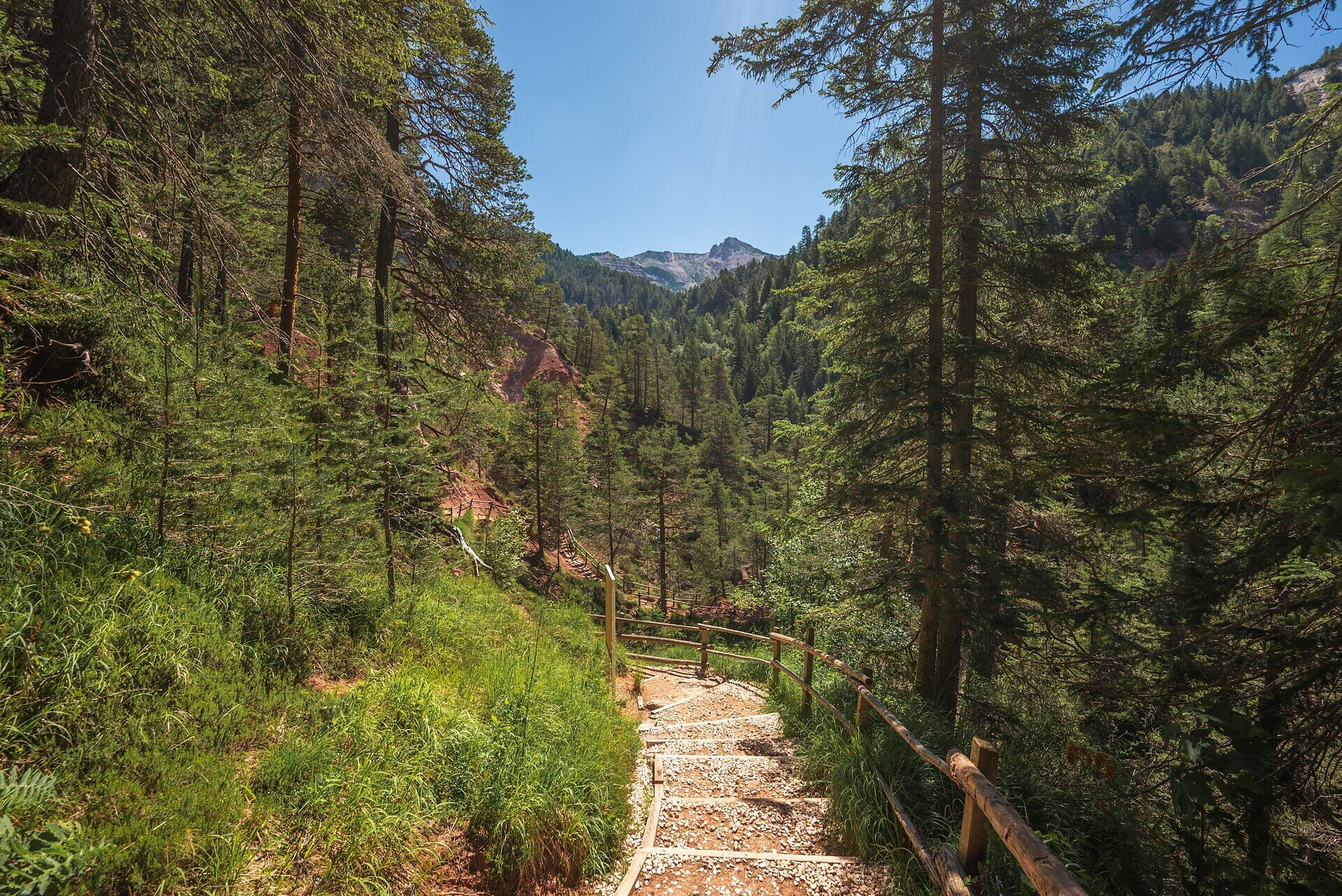
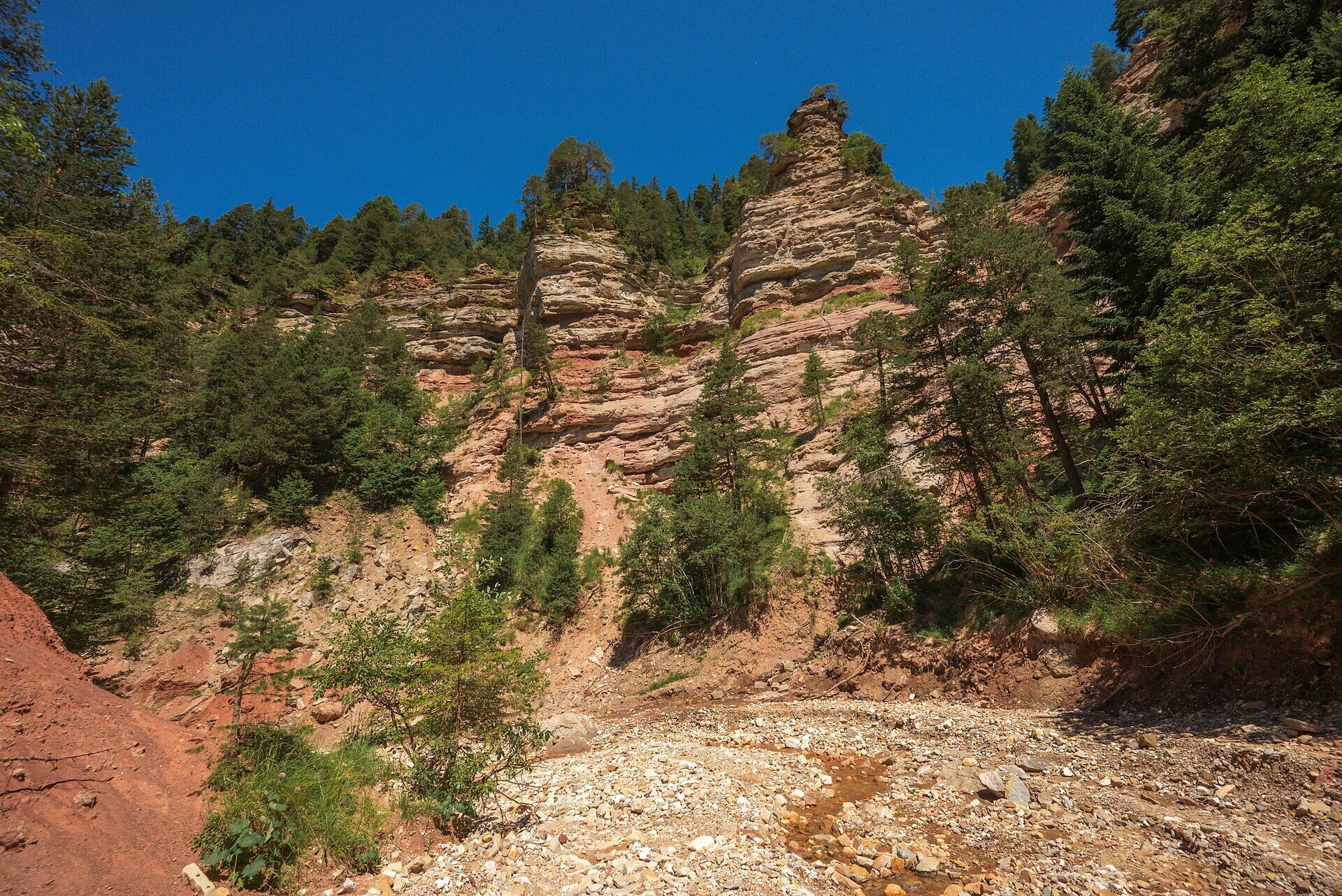
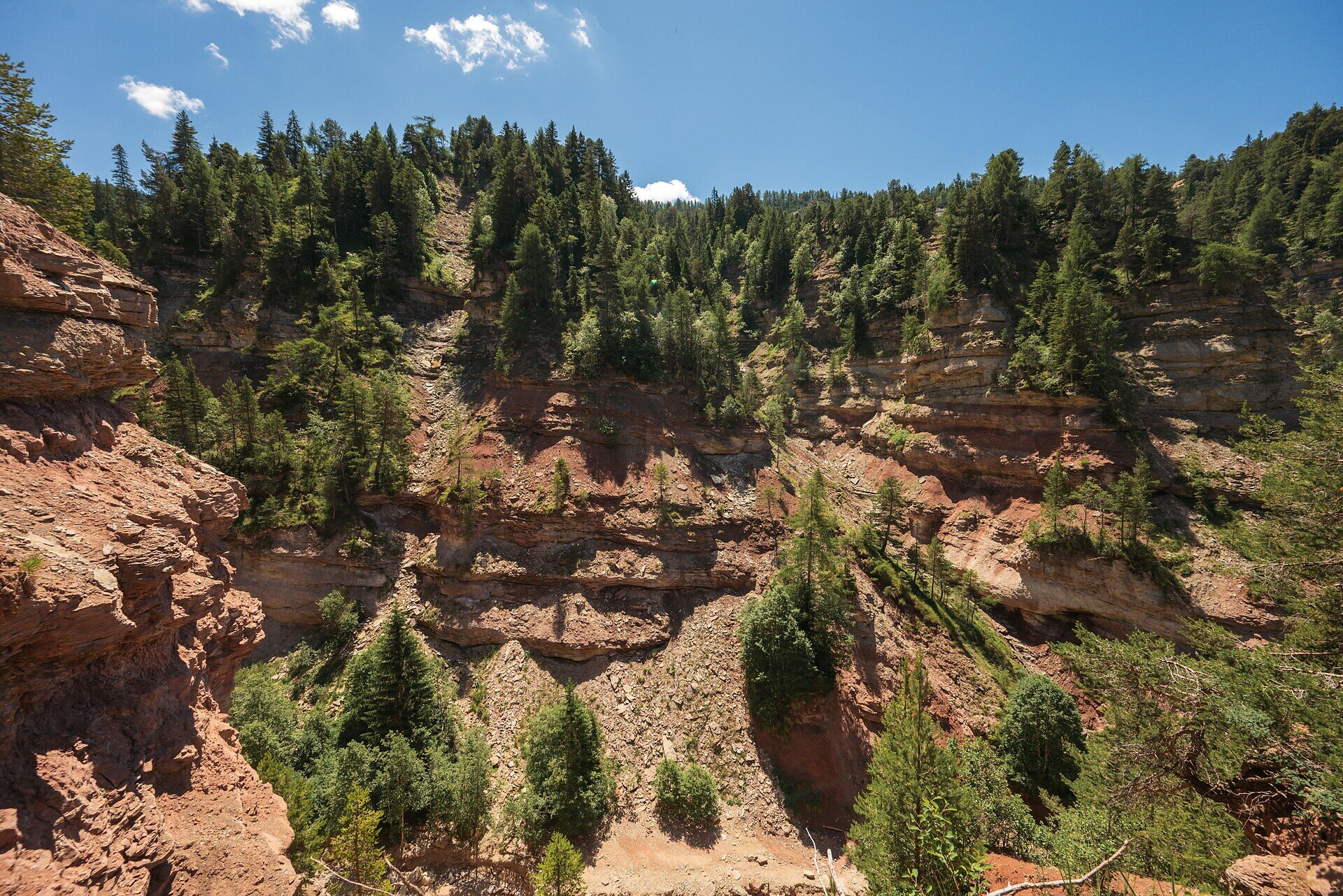
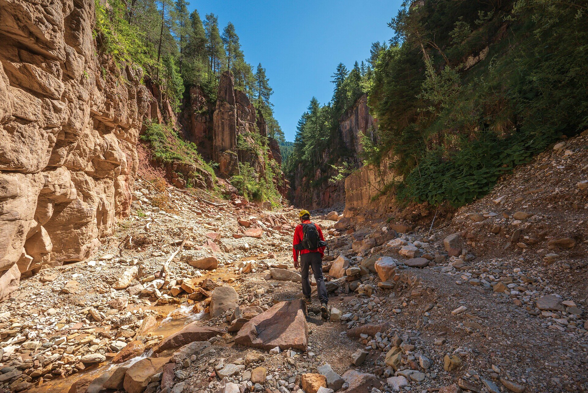
This hike offers a powerful blend of breathtaking nature and spiritual reflection. Starting at the famous pilgrimage site of Maria Weißenstein, hikers can take a moment of stillness at the monastery and explore the moving votive tablets that tell stories of hope and faith. The trail continues through quiet forests and picturesque alpine meadows, leading into the awe-inspiring Bletterbach Gorge. Often referred to as South Tyrol’s “Grand Canyon,” the gorge reveals dramatic rock layers, unique formations, and an open window into Earth’s geological past. Perfect for hikers who seek more than just scenery – this experience connects nature, culture, and soul in an unforgettable journey.

Gallery
Categories
  • Hiking trail
Route info
Intermediate
Distance
11,5 km
Activity time
3 h 56 min
Ascent
588 m
Descent
588 m
Physical effort
Scenary
Highest point
1.694 m
Lowest point
1.414 m
You might be interested in
Discover related tours
Welschnofen
Du parking de Paolina au lac de Carezza
Distance 2,0 km
Activity time 27 min
Ascent 12 m
Descent 90 m
Status
open
Intermediate
Add to favourites
Steinegg
Le sentier des étoiles, de Gummer à Steinegg
Distance 12,2 km
Activity time 3 h 27 min
Ascent 334 m
Descent 656 m
Status
closed
Intermediate
Add to favourites
Deutschnofen
Randonnée de l'alpage de Laab à l'alpage de Neuhütt et à l'alpage de Petersberger Leger
Distance 8,4 km
Activity time 2 h 35 min
Ascent 278 m
Descent 377 m
Status
open
Deutschnofen
Randonnée en famille : circuit panoramique
Distance 9,8 km
Activity time 2 h 30 min
Ascent 108 m
Descent 108 m
Status
open
Intermediate
Add to favourites
Welschnofen
Randonnée à la découverte des fermes à Welschnofen
Distance 10,5 km
Activity time 3 h 14 min
Ascent 477 m
Descent 477 m
Status
open
Intermediate
Add to favourites
Karersee, Welschnofen
Du col du Karer au Mitterleger et aux prairies du Latemar
Distance 8,2 km
Activity time 2 h 32 min
Ascent 383 m
Descent 383 m
Status
open
© Gabriel Eisath
Neu
Der offizielle WhatsApp-Kanal von Eggental Tourismus!
Abonniere unseren Kanal

Verpasse keine Neuigkeiten mehr! Folge unserem neuen WhatsApp-Kanal und erhalte aktuelle News, Veranstaltungstipps und besondere Highlights aus dem Eggental direkt auf dein Handy.

Wir freuen uns auf dich!