Randonnée de quatre jours Rosengarten/Schlern - 3e étape

Karersee
Add to favourites
Category
Difficulty
Difficult
Activity time
4:23
Duration in hours
Distance
12.4
Distance in km
Status
closed
Suggested period
Jan
Feb
Mar
Apr
May
Jun
Jul
Aug
Sep
Oct
Nov
Dec

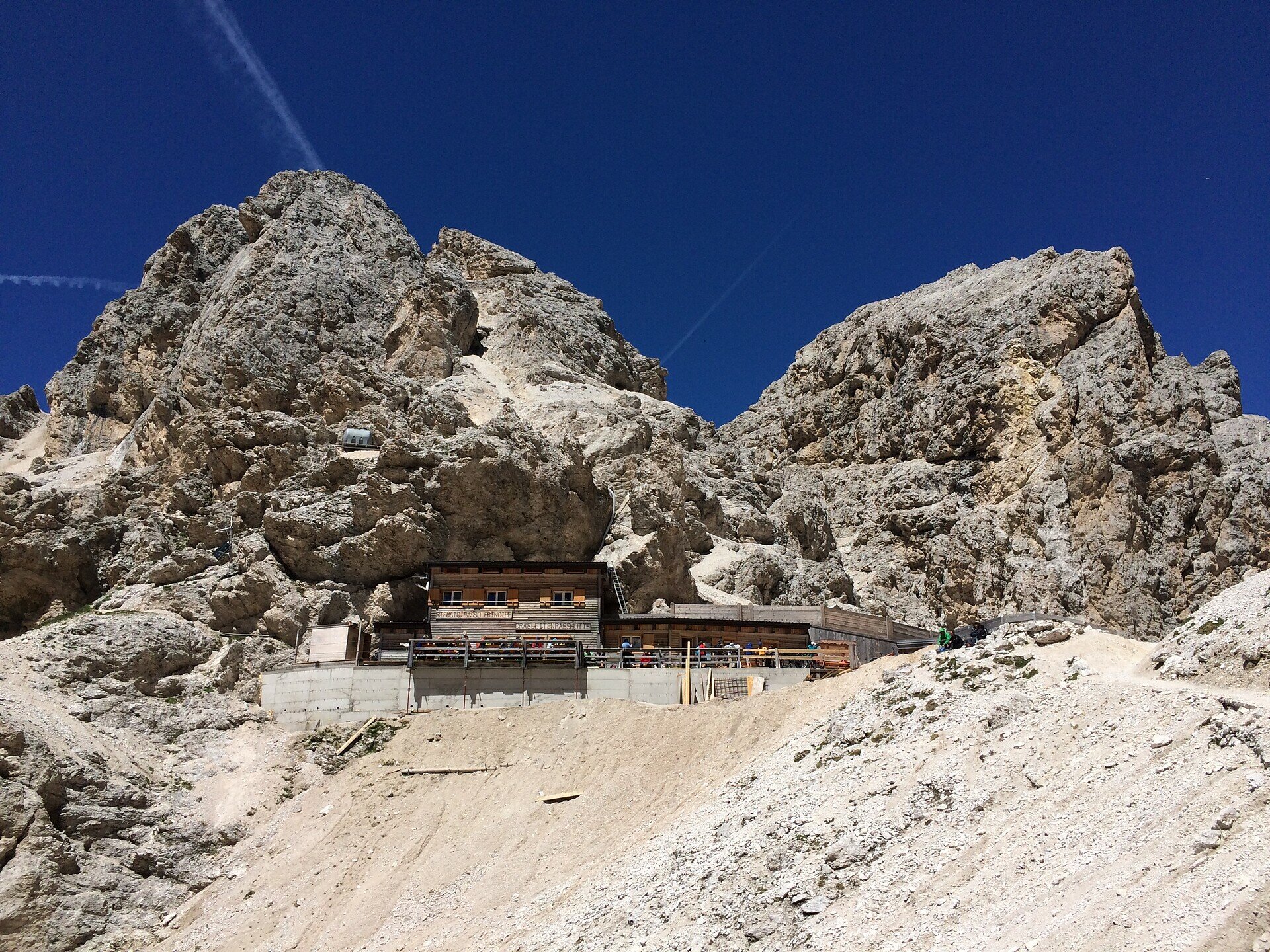
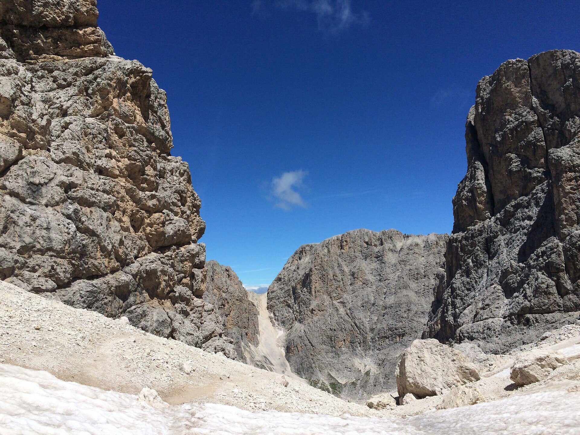
The third stage starts with the crossing of the Passo Principe to the Alpe di Tires and to the Rif. Bolzano. The final effort to reach the peak of the Sciliar, the Monte Petz opens up a beautiful panorama to the surrounding mountains.


Tags
  • Linear route
Route info
Difficult
Distance
12,4 km
Activity time
4 h 23 min
Ascent
1.038 m
Descent
829 m
Physical effort
Scenary
Highest point
2.603 m
Lowest point
2.244 m
You might be interested in
Discover related tours
Intermediate
Add to favourites
Karersee, Obereggen, Welschnofen, Deutschnofen
Geotrail Dolomites World Heritage II - 2e étape : du col de Lavazè au col de Costalunga
Distance 21,4 km
Activity time 6 h 50 min
Ascent 708 m
Descent 765 m
Status
closed
Intermediate
Add to favourites
Steinegg, Deutschnofen
Randonnée de cinq jours sur le sentier de randonnée circulaire des perles - 5e étape
Distance 18,9 km
Activity time 5 h 50 min
Ascent 373 m
Descent 1.423 m
Status
open
Intermediate
Add to favourites
Steinegg, Obereggen, Karersee, Deutschnofen, Welschnofen
Randonnée de cinq jours - Sentier circulaire des perles du Tyrol du Sud
Distance 88,1 km
Activity time 27 h 55 min
Ascent 3.534 m
Descent 3.534 m
Status
open
Intermediate
Add to favourites
Karersee, Welschnofen
Randonnée de cinq jours sur le sentier Perlenrundwanderweg - 2e étape
Distance 16,4 km
Activity time 5 h 32 min
Ascent 1.138 m
Descent 416 m
Status
open
Intermediate
Add to favourites
Obereggen, Deutschnofen
Randonnée de cinq jours sur le sentier circulaire des perles - 4ème étape
Distance 22,6 km
Activity time 6 h 45 min
Ascent 623 m
Descent 840 m
Status
open
Intermediate
Add to favourites
Obereggen, Deutschnofen
Randonnée de plusieurs jours "Sentiero Italia" - Étape : Col de Lavazè - Obereggen
Distance 6,4 km
Activity time 2 h 20 min
Ascent 382 m
Descent 251 m
Status
closed