Top

Randonnée depuis Jochgrimm jusqu'au Weißhorn

Deutschnofen
Add to favourites
Difficulty
Intermediate
Activity time
1:00
Duration in hours
Distance
1.5
Distance in km
Status
open
Categories
  • Hiking trail
Tags
  • Linear route
Suggested period
Jan
Feb
Mar
Apr
May
Jun
Jul
Aug
Sep
Oct
Nov
Dec
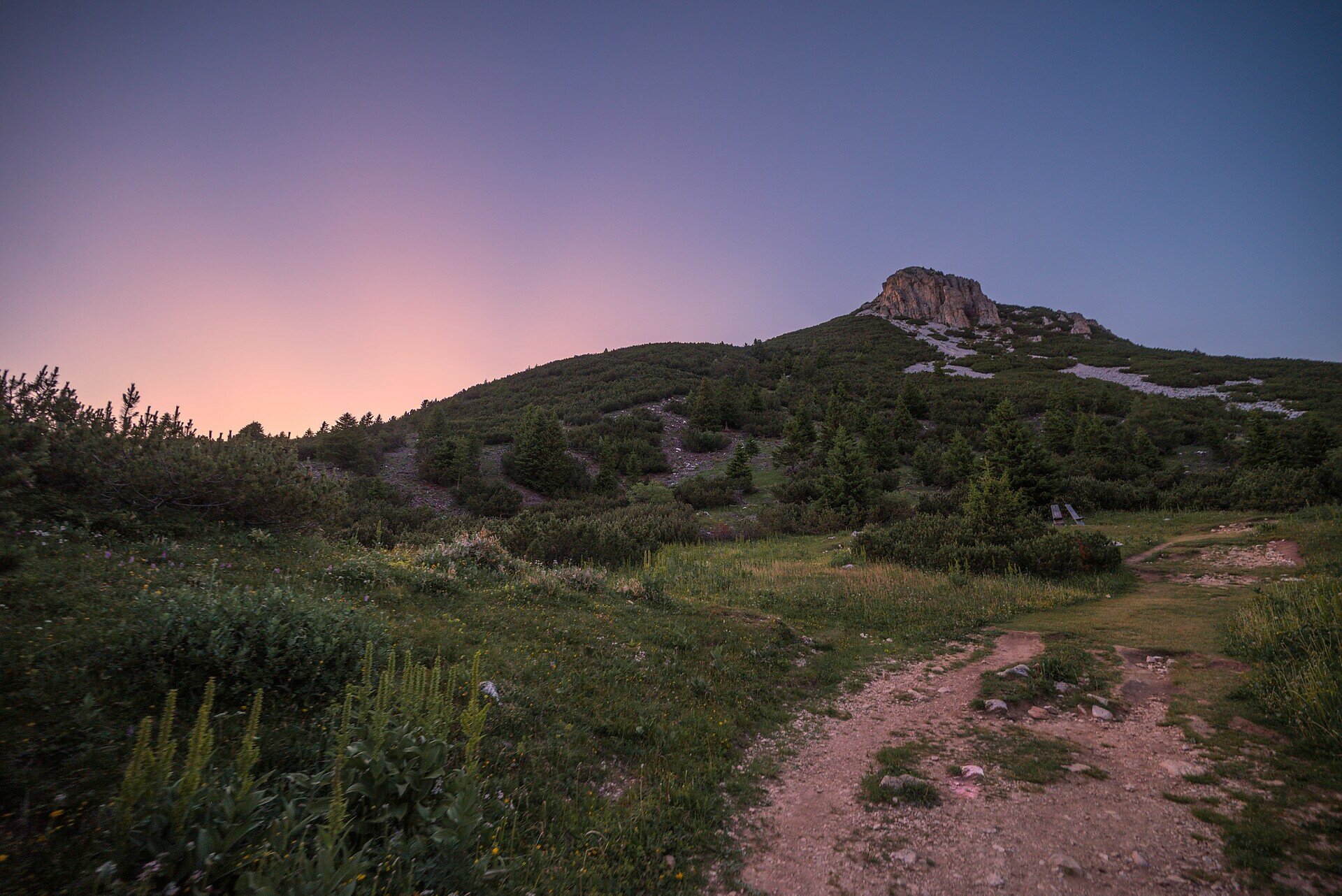
Scenic summit hike from Oclini | Jochgrimm to Weißhorn – perfect for sure-footed hikers seeking panoramic views and unspoiled mountain nature.

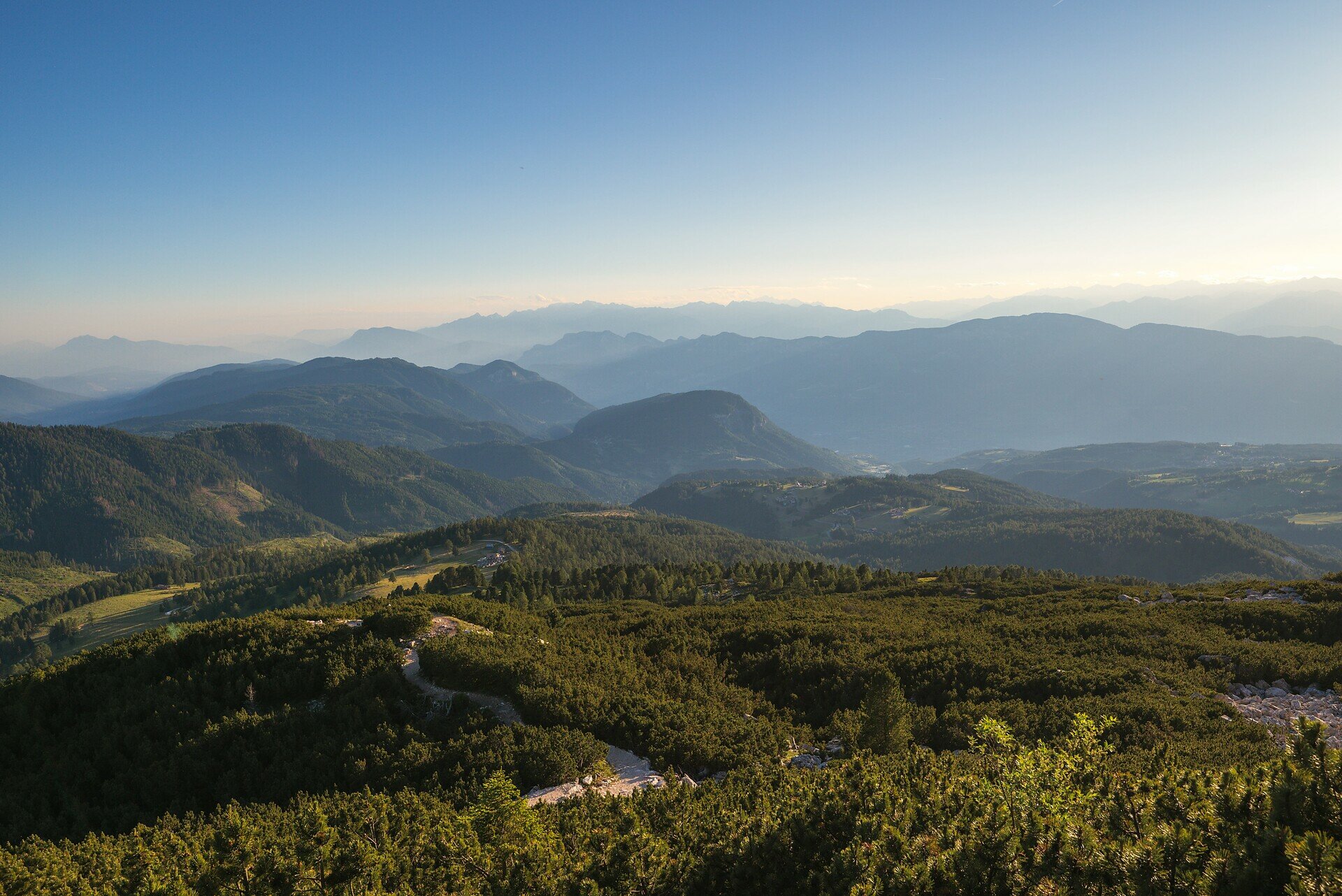
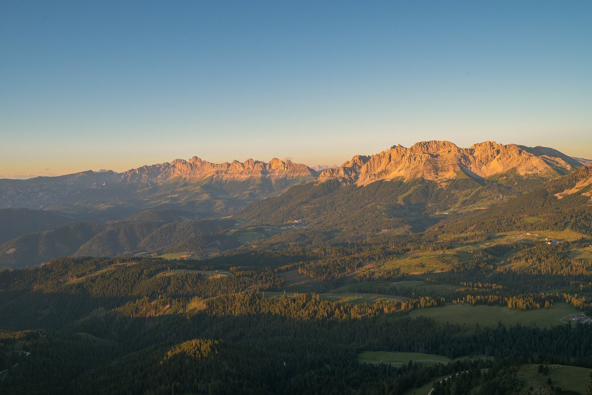
This summit hike is a true highlight for those who love raw mountain nature and sweeping alpine views. Starting from Oclini | Jochgrimm, the trail climbs gently through wide meadows before transitioning into more rugged terrain as it leads toward the summit. The higher you go, the more spectacular the view becomes – stretching across the Rosengarten, Latemar, Brenta Group and, on clear days, even to the Sexten Dolomites.

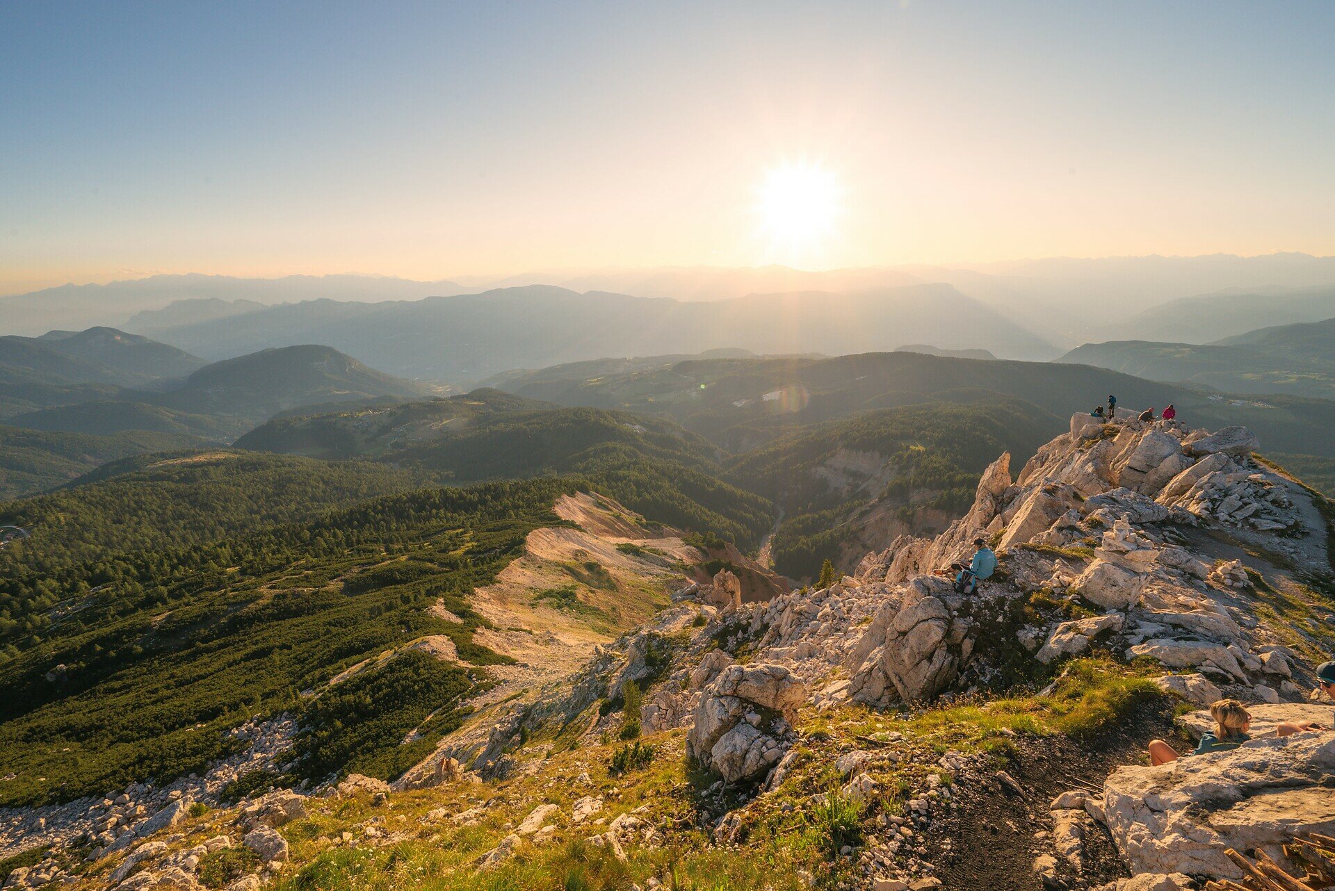
The final section over rocky ground requires a bit of sure-footedness, but the reward at the top is worth every step: a breathtaking 360° panorama and a deep sense of peace await at the summit cross.

Perfect for hikers who seek a combination of movement, scenery, and the quiet majesty of the high mountains.

Gallery
Categories
  • Hiking trail
Tags
  • Linear route
Route info
Intermediate
Distance
1,5 km
Activity time
1 h 00 min
Ascent
307 m
Descent
14 m
Physical effort
Scenary
Highest point
2.297 m
Lowest point
1.991 m
You might be interested in
Discover related tours
Intermediate
Add to favourites
Deutschnofen
Sentier de grande randonnée européen E5 : de Kohlern et Bolzano à Deutschnofen
Distance 12,1 km
Activity time 5 h 17 min
Ascent 1.431 m
Descent 341 m
Status
open
Intermediate
Add to favourites
Deutschnofen
Chemin de l’église vers le village préhistorique d'Enzbirch
Distance 13,0 km
Activity time 3 h 55 min
Ascent 424 m
Descent 424 m
Status
open
Karersee, Welschnofen
Randonnée circulaire de la Frommer Alm à la cabane de montagne Messnerjoch
Distance 5,2 km
Activity time 1 h 45 min
Ascent 266 m
Descent 266 m
Status
open
Intermediate
Add to favourites
Karersee, Welschnofen
Par le sentier Hirzel jusqu'au monument Christomannos
Distance 8,6 km
Activity time 2 h 38 min
Ascent 399 m
Descent 399 m
Status
open
Deutschnofen
Randonnée familiale vers Häusler Sam – découvrir les animaux et jouer dans la nature
Distance 4,6 km
Activity time 1 h 15 min
Ascent 152 m
Descent 152 m
Status
open
Intermediate
Add to favourites
Deutschnofen
Randonnée à travers la gorge de Bletterbach
Distance 11,5 km
Activity time 3 h 56 min
Ascent 588 m
Descent 588 m
Status
open
© Gabriel Eisath
Neu
Der offizielle WhatsApp-Kanal von Eggental Tourismus!
Abonniere unseren Kanal

Verpasse keine Neuigkeiten mehr! Folge unserem neuen WhatsApp-Kanal und erhalte aktuelle News, Veranstaltungstipps und besondere Highlights aus dem Eggental direkt auf dein Handy.

Wir freuen uns auf dich!