Top

Hike from Oclini at the top of the Corno Bianco

Deutschnofen
Add to favourites
Difficulty
Intermediate
Activity time
1:00
Duration in hours
Distance
1.5
Distance in km
Status
open
WSEN
Categories
  • Hiking trail
Tags
  • Linear route
Suggested period
Jan
Feb
Mar
Apr
May
Jun
Jul
Aug
Sep
Oct
Nov
Dec
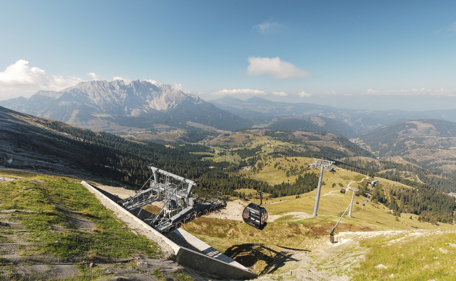
Scenic summit hike from Oclini | Jochgrimm to Weißhorn – perfect for sure-footed hikers seeking panoramic views and unspoiled mountain nature.

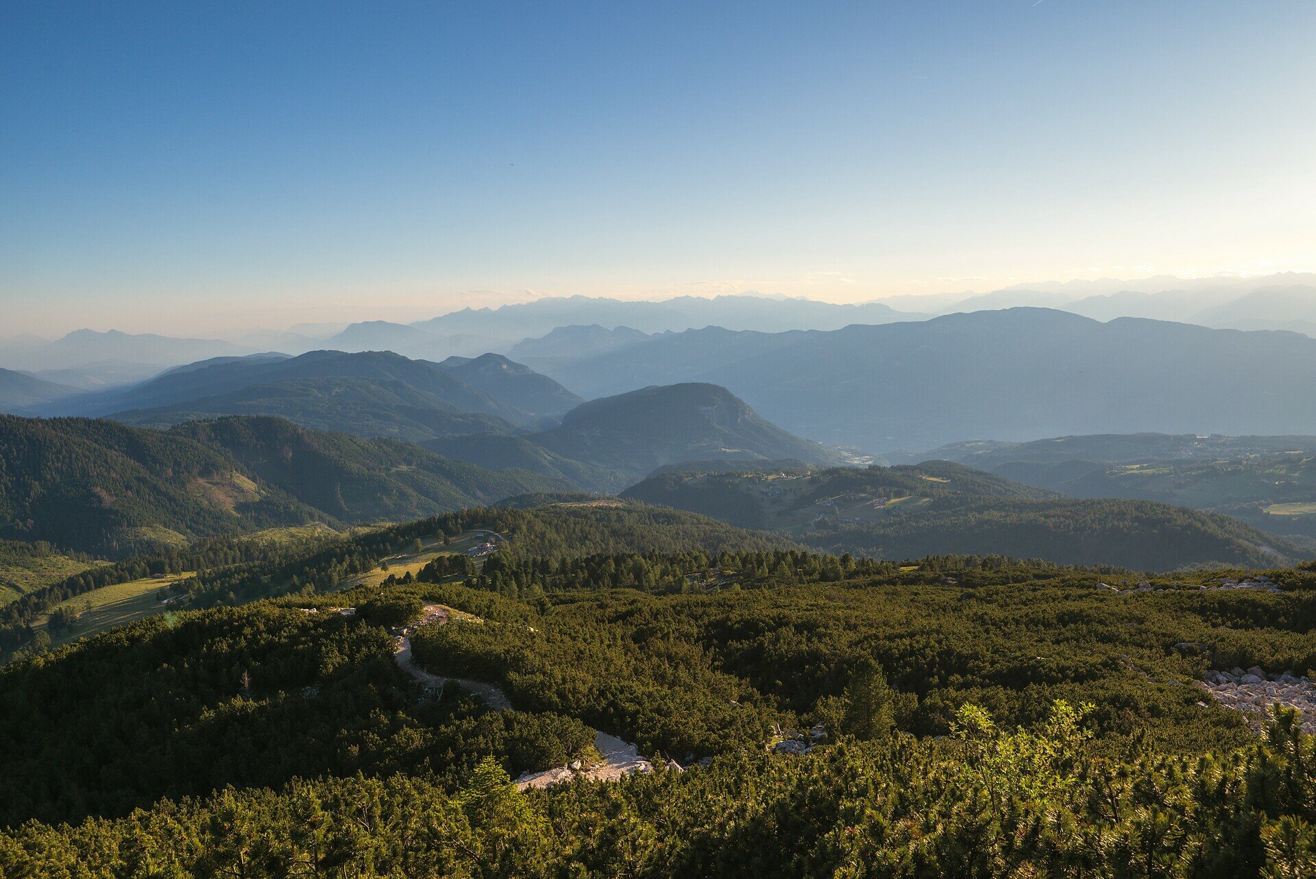
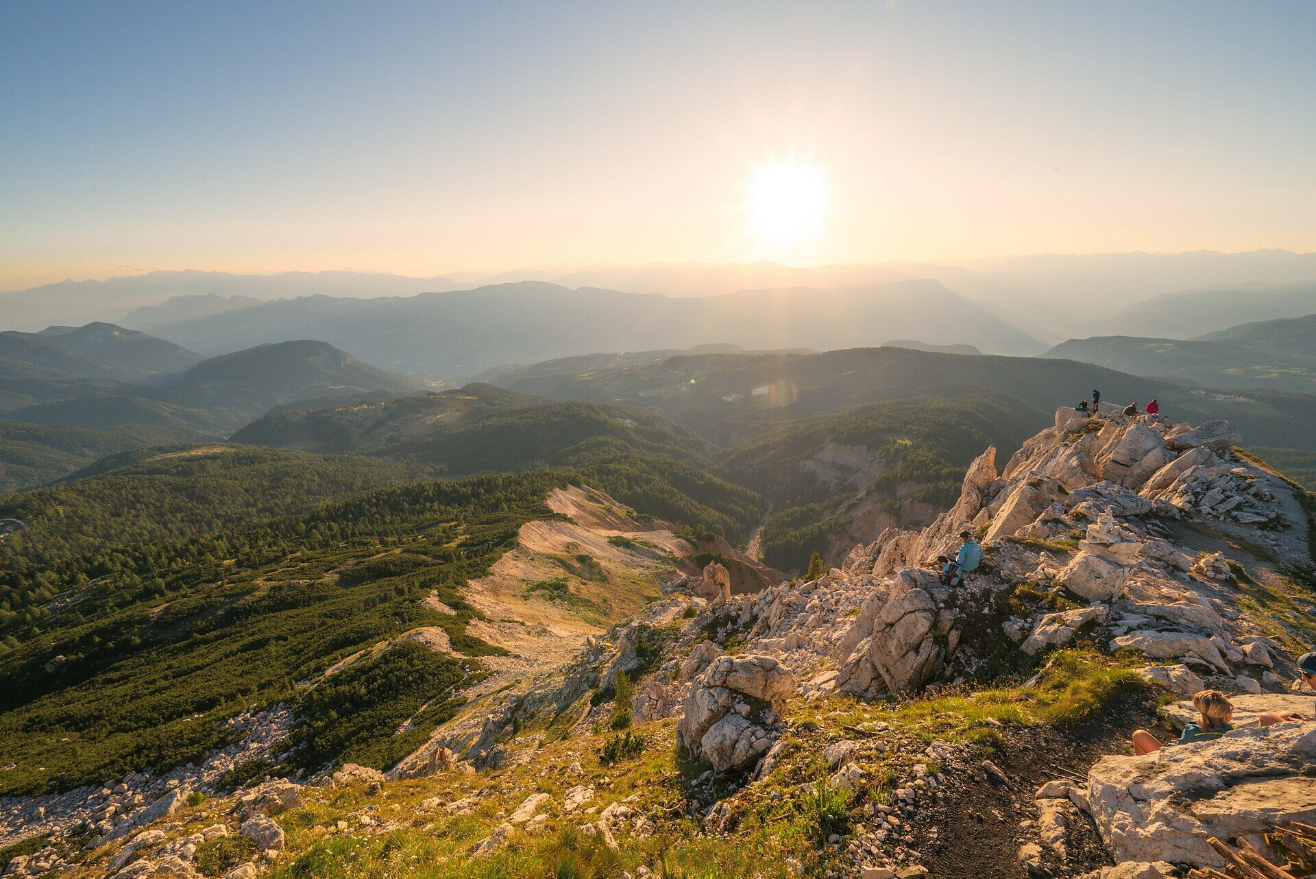
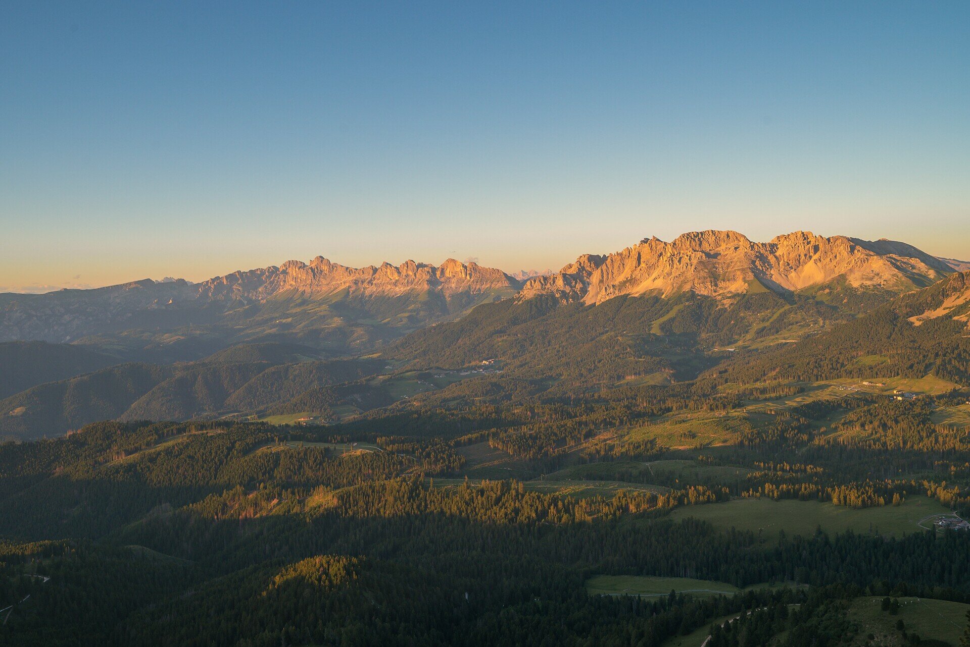
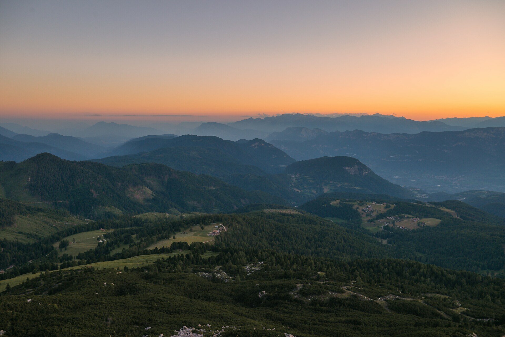
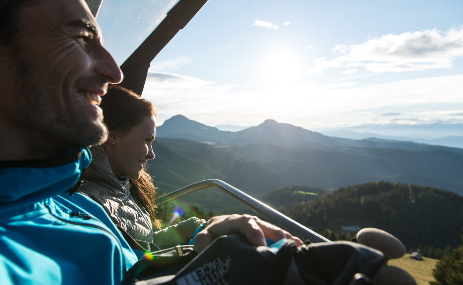
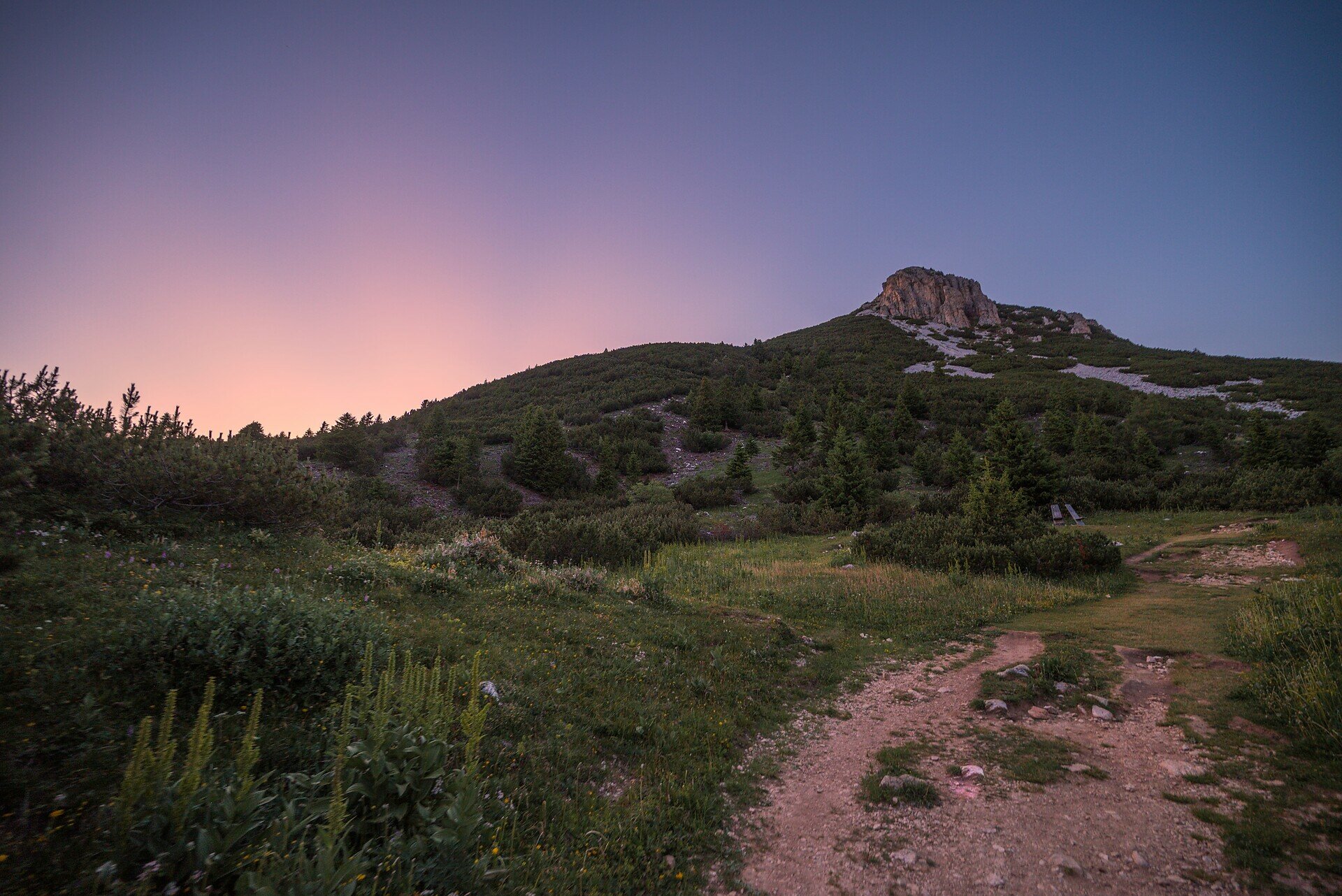
This summit hike is a true highlight for those who love raw mountain nature and sweeping alpine views. Starting from Oclini | Jochgrimm, the trail climbs gently through wide meadows before transitioning into more rugged terrain as it leads toward the summit. The higher you go, the more spectacular the view becomes – stretching across the Rosengarten, Latemar, Brenta Group and, on clear days, even to the Sexten Dolomites.

The final section over rocky ground requires a bit of sure-footedness, but the reward at the top is worth every step: a breathtaking 360° panorama and a deep sense of peace await at the summit cross.

Perfect for hikers who seek a combination of movement, scenery, and the quiet majesty of the high mountains.

Gallery
Categories
  • Hiking trail
Tags
  • Linear route
Route info
Intermediate
Distance
1,5 km
Activity time
1 h 00 min
Ascent
307 m
Descent
14 m
Physical effort
Scenary
Highest point
2.297 m
Lowest point
1.991 m
You might be interested in
Discover related tours
Karersee, Welschnofen
King Laurin Tour
Distance 22,9 km
Activity time 3 h 40 min
Ascent 100 m
Descent 214 m
Status
closed
Deutschnofen
Family-hike from Eggen/Ega to the "Egg" farms
Distance 4,2 km
Activity time 1 h 25 min
Ascent 183 m
Descent 183 m
Status
open
Intermediate
Add to favourites
Deutschnofen
Hike to the Lieg hut
Distance 16,0 km
Activity time 4 h 44 min
Ascent 590 m
Descent 590 m
Status
open
Deutschnofen
Hike to the Häusler Sam
Distance 4,1 km
Activity time 1 h 10 min
Ascent 142 m
Descent 161 m
Status
open
Intermediate
Add to favourites
Steinegg, Welschnofen
Circular hike at the Taltbühl to the Totmoos and the wolf pit
Distance 10,5 km
Activity time 3 h 00 min
Ascent 377 m
Descent 358 m
Status
open
Deutschnofen
Hike from Weissenstein to Neuhütt to Auerleger
Distance 17,4 km
Activity time 5 h 15 min
Ascent 596 m
Descent 571 m
Status
open
© Carezza Dolomites/Harald Wisthaler
Information & prices
Ski passes
Winter 2025/26

Here you will find all important information on skipasses, daily, multi-day, and seasonal tickets at a glance. All ski passes can be purchased quickly and conveniently online. Buy your skipass directly from home and get a 5% discount!

To the ski passes & tickets