Top

Randonnée en raquettes du lac de Carezza à Mitterleger

Welschnofen
Add to favourites
Category
Difficulty
Intermediate
Activity time
3:15
Duration in hours
Distance
9.1
Distance in km
Status
closed
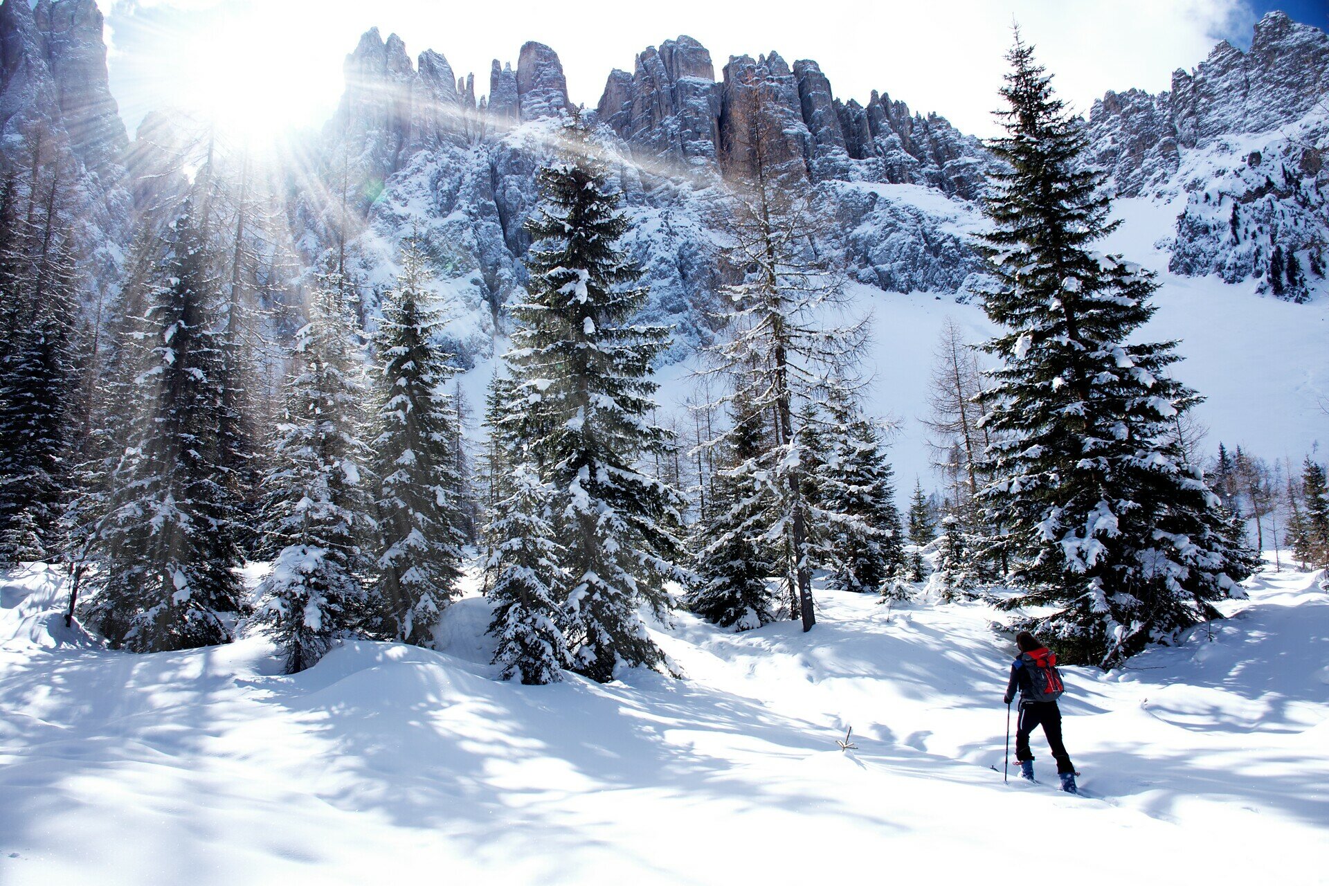
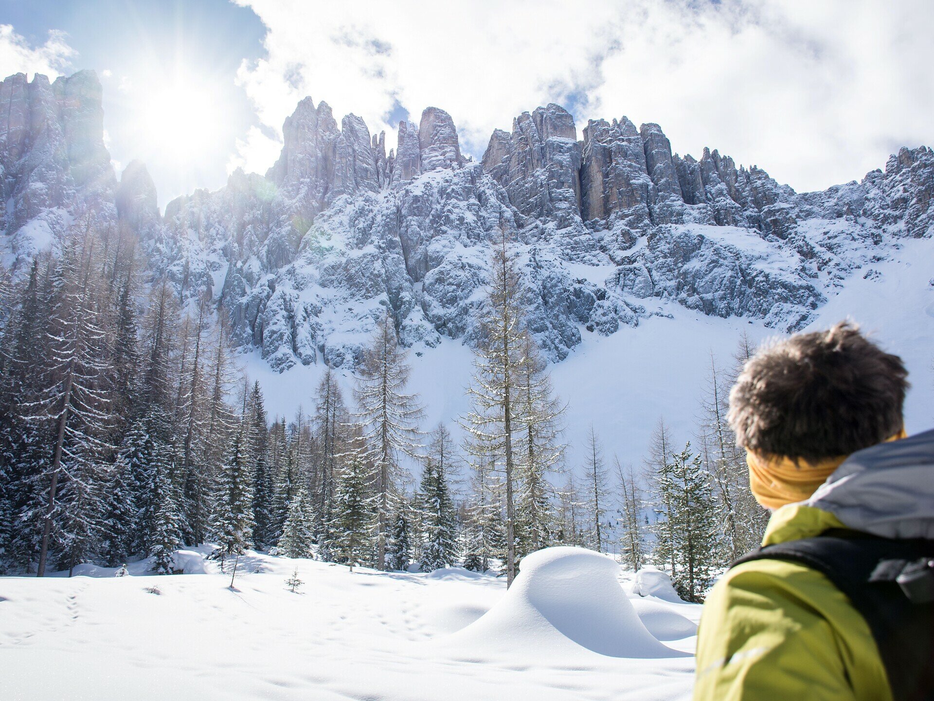
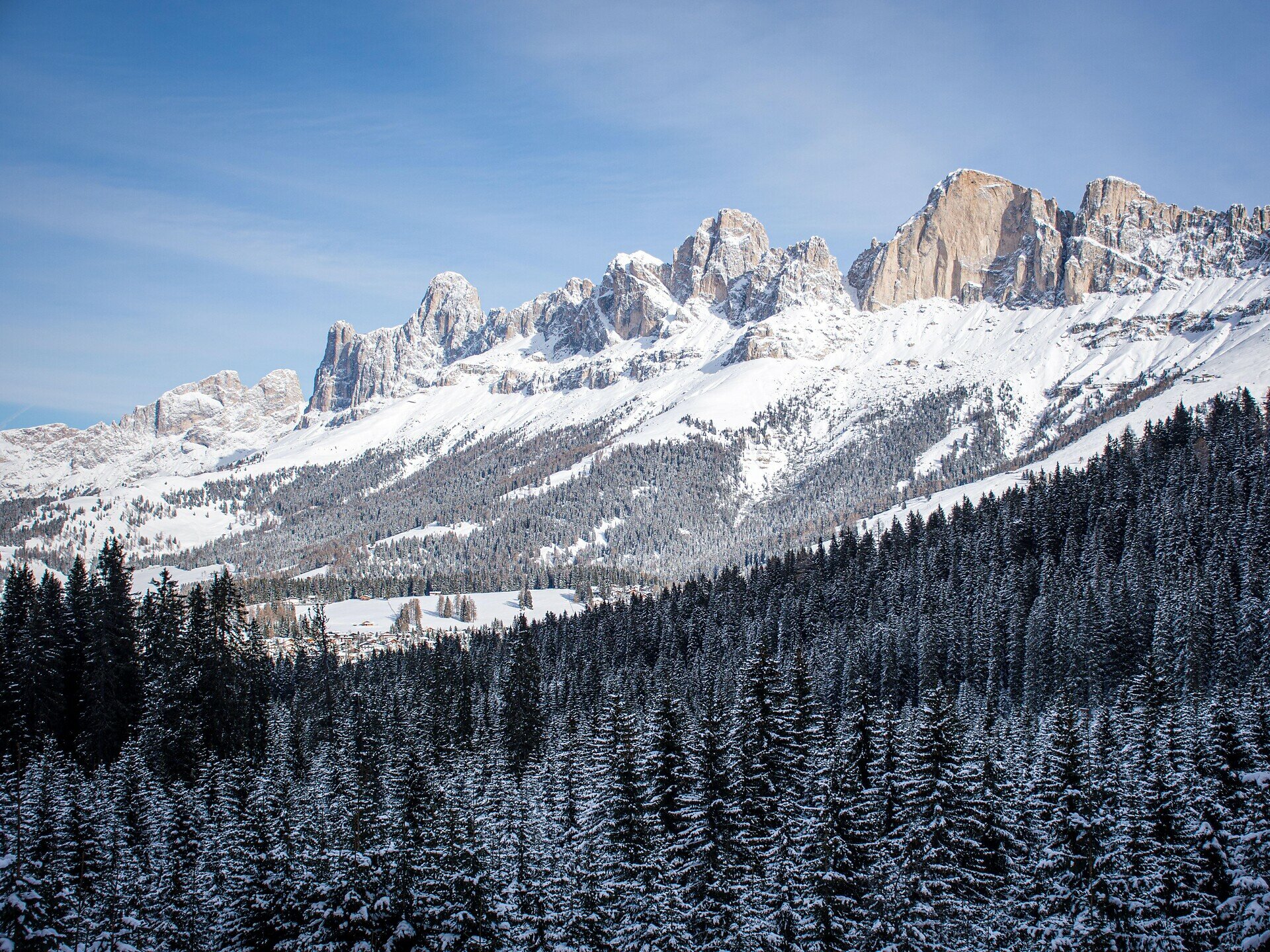
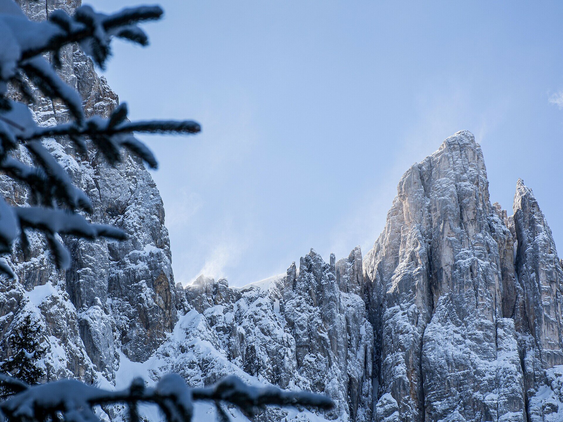
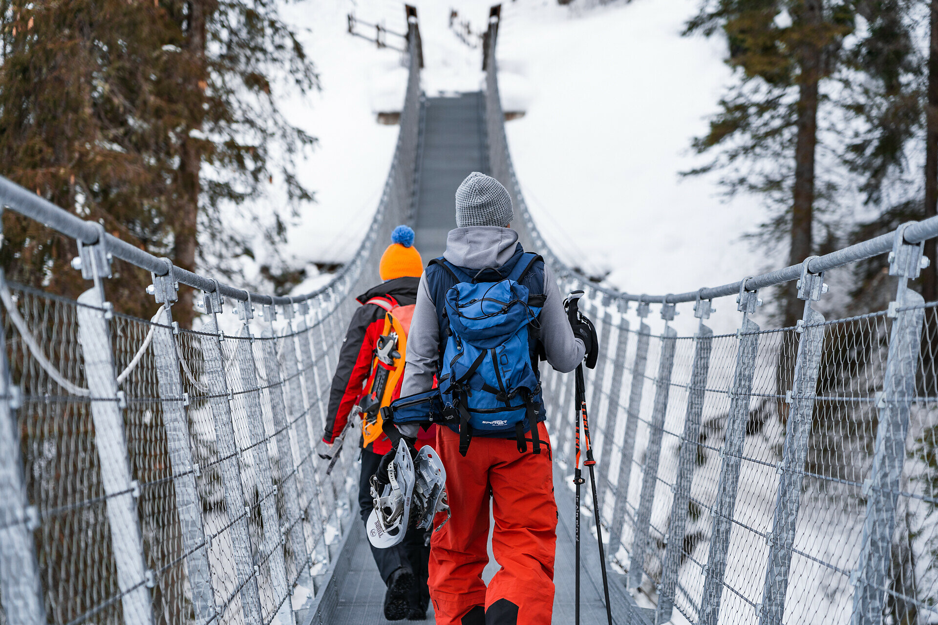
Beautiful snowshoe hike from Lake Carezza through the Latemar forest to the Mitterleger | Radura di Mezzo viewpoint, where the Latemar is impressively close up.

This rewarding snowshoe hike takes you through the Latemar forest with views of the Latemar. Starting from Lake Carezza (Karer See | Lago di Carezza), path l leads to the Mitterleger | Radura di Mezzo viewpoint, a lovely little clearing in the forest, where you can get a close-up view of the Latemar. The peaceful atmosphere and pristine landscape make this outing an ideal experience for nature lovers seeking tranquility and relaxation, along with a fantastic view.

Route info
Intermediate
Distance
9,1 km
Activity time
3 h 15 min
Ascent
326 m
Descent
326 m
Physical effort
Scenary
Highest point
1.824 m
Lowest point
1.539 m
You might be interested in
Discover related tours
Intermediate
Add to favourites
Deutschnofen
Randonnée en raquettes vers Maria Weißenstein et l'alpage de Laab
Distance 14,0 km
Activity time 4 h 35 min
Ascent 339 m
Descent 339 m
Status
closed
Intermediate
Add to favourites
Welschnofen
Randonnée en raquettes de Welschnofen au lac Karer
Distance 16,5 km
Activity time 4 h 49 min
Ascent 547 m
Descent 547 m
Status
closed
Intermediate
Add to favourites
Deutschnofen
Randonnée en raquettes Enzbirch
Distance 13,3 km
Activity time 4 h 51 min
Ascent 518 m
Descent 518 m
Status
closed
Deutschnofen
Randonnée en raquettes autour de Jochgrimm
Distance 7,5 km
Activity time 2 h 37 min
Ascent 274 m
Descent 274 m
Status
closed
Intermediate
Add to favourites
Karersee, Welschnofen
Randonnée en raquettes jusqu'au Buselineck-Monte Nigra à Welschnofen
Distance 10,7 km
Activity time 2 h 51 min
Ascent 140 m
Descent 727 m
Status
closed
Welschnofen, Karersee
Randonnée en raquettes du col de Karer aux prairies de Latemar
Distance 5,9 km
Activity time 1 h 42 min
Ascent 183 m
Descent 183 m
Status
closed