Top

Randonnée hivernale d'Obereggen au refuge d'Oberholz

Deutschnofen
Add to favourites
Difficulty
Intermediate
Activity time
3:00
Duration in hours
Distance
9
Distance in km
Status
open
WSEN
Categories
  • Winter hiking
Suggested period
Jan
Feb
Mar
Apr
May
Jun
Jul
Aug
Sep
Oct
Nov
Dec
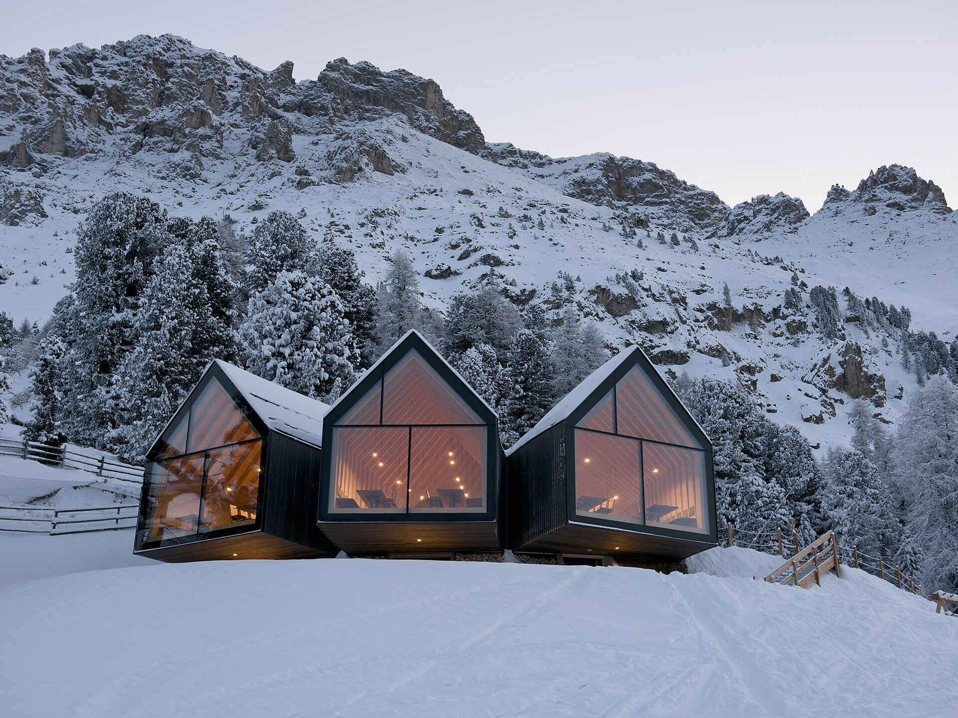
Winter hike from Obereggen to Oberholz hut – stunning mountain views and cozy stops, perfect for nature lovers and families.

The winter hike from Obereggen to the Oberholz hut leads you into a peaceful mountain landscape full of natural beauty and calm. The trail passes snowy forests and offers stunning views of the surrounding Dolomite peaks. Cozy stops at the Oberholz hut and the Epircher Laner Alm invite you to rest and warm up with local specialties. This tour is perfect for those who want to combine a magical winter experience with relaxing breaks and delicious food.

Gallery
Categories
  • Winter hiking
Route info
Intermediate
Distance
9,0 km
Activity time
3 h 00 min
Ascent
515 m
Descent
515 m
Technical skills
Physical effort
Scenary
Highest point
2.075 m
Lowest point
1.560 m
You might be interested in
Discover related tours
Intermediate
Add to favourites
Welschnofen
Randonnée hivernale de Welschnofen au lac de Carezza
Distance 9,3 km
Activity time 2 h 54 min
Ascent 518 m
Descent 518 m
Status
open
Welschnofen
Randonnée hivernale de la Frommer Alm à l'Ochsenhütte
Distance 4,2 km
Activity time 1 h 10 min
Ascent 112 m
Descent 107 m
Status
open
Intermediate
Add to favourites
Deutschnofen, Welschnofen
Randonnée d'hiver d'Obereggen au lac de Carezza via le « Templweg »
Distance 12,9 km
Activity time 3 h 21 min
Ascent 143 m
Descent 143 m
Status
open
Deutschnofen
Randonnée hivernale de l'alpage de Laab à celui de Neuhütt
Distance 7,0 km
Activity time 1 h 50 min
Ascent 152 m
Descent 154 m
Status
open
Steinegg
Circuit de randonnée « Sternendorf » à Steinegg en hiver
Distance 4,4 km
Activity time 1 h 20 min
Ascent 162 m
Descent 163 m
Status
open
Karersee, Welschnofen
Une agréable randonnée panoramique hivernale vers le refuge Messnerjoch
Distance 5,4 km
Activity time 2 h 05 min
Ascent 337 m
Descent 336 m
Status
open
© Gabriel Eisath
Neu
Der offizielle WhatsApp-Kanal von Eggental Tourismus!
Abonniere unseren Kanal

Verpasse keine Neuigkeiten mehr! Folge unserem neuen WhatsApp-Kanal und erhalte aktuelle News, Veranstaltungstipps und besondere Highlights aus dem Eggental direkt auf dein Handy.

Wir freuen uns auf dich!