Top

Randonnée hivernale de Deutschnofen au Wölflhof en passant par Unterkaplun

Deutschnofen
Add to favourites
Difficulty
Intermediate
Activity time
2:05
Duration in hours
Distance
7.4
Distance in km
Status
open
Categories
  • Winter hiking
Tags
  • Round trip
Suggested period
Jan
Feb
Mar
Apr
May
Jun
Jul
Aug
Sep
Oct
Nov
Dec
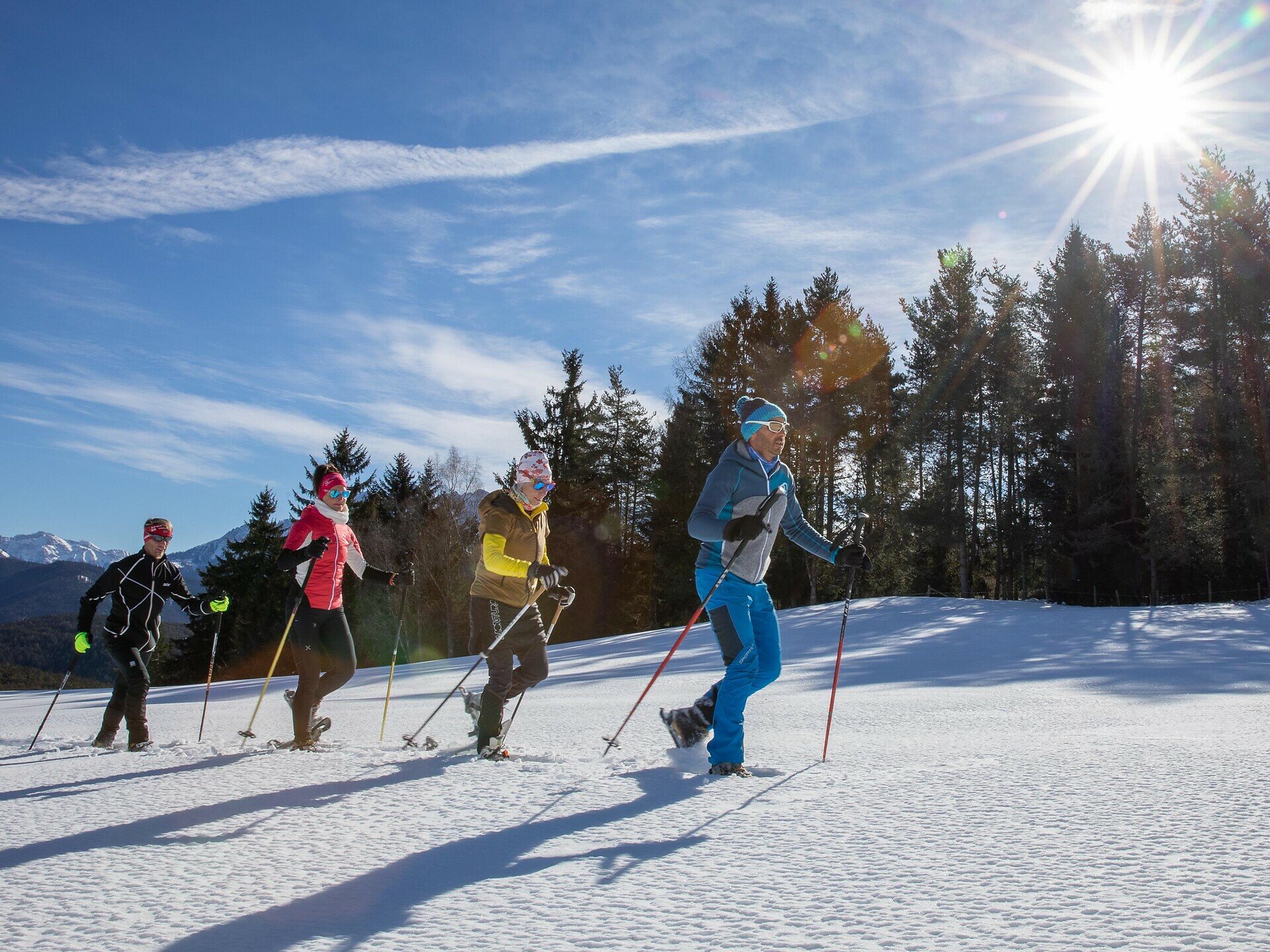
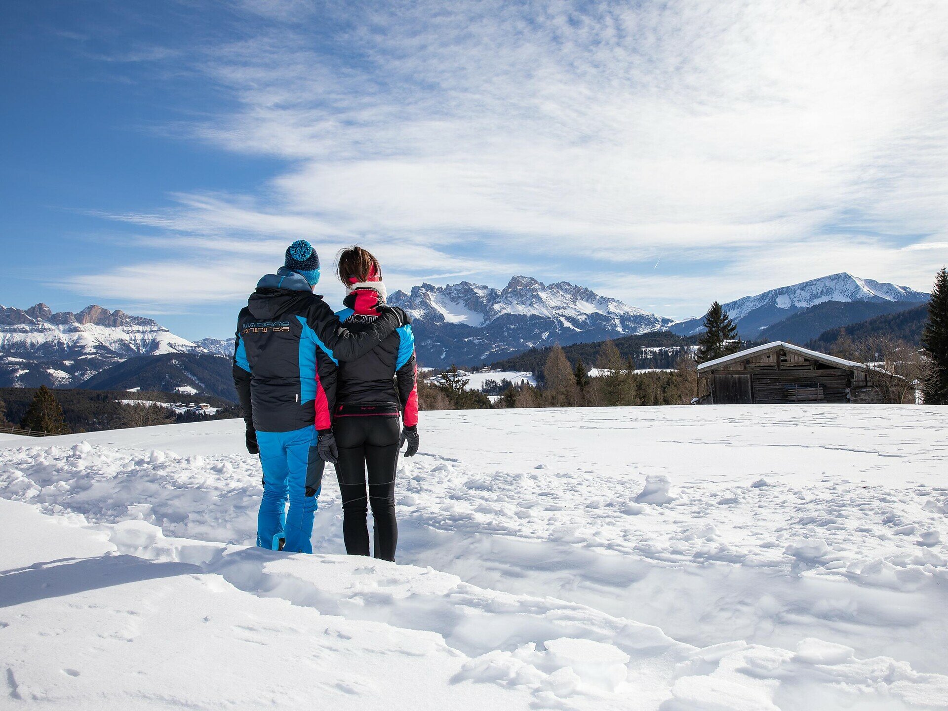
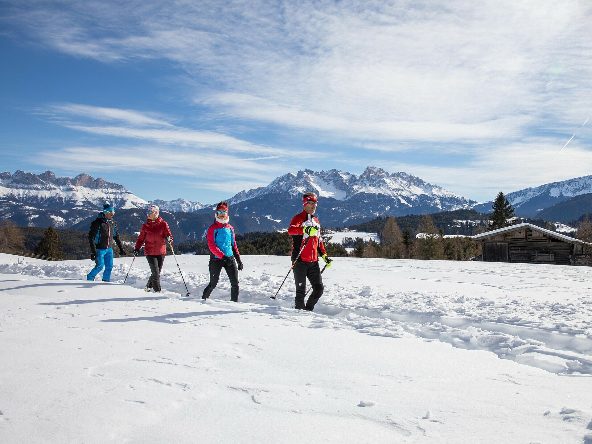
Leisurely winter hike from Deutschnofen to Wölflhof with mountain views, peaceful trails and farm stop – perfect for families and nature lovers.
This winter hike blends natural beauty with authentic farm hospitality. Starting from the center of Deutschnofen, the trail leads through peaceful snowy forests and fields, offering open views of the Dolomites. The quiet surroundings create space to slow down and reconnect with nature. At Wölflhof, a cozy stop with local food and warm atmosphere awaits. This is the perfect winter experience for families, nature lovers, and anyone seeking gentle outdoor adventure.
Gallery
Categories
  • Winter hiking
Tags
  • Round trip
Route info
Intermediate
Distance
7,4 km
Activity time
2 h 05 min
Ascent
194 m
Descent
195 m
Technical skills
Physical effort
Scenary
Highest point
1.429 m
Lowest point
1.291 m
You might be interested in
Discover related tours
Welschnofen
Randonnée hivernale vers les Frinwiesen au lac de Carère
Distance 4,0 km
Activity time 1 h 10 min
Ascent 141 m
Descent 141 m
Status
open
Karersee, Welschnofen
Une agréable randonnée panoramique hivernale vers le refuge Messnerjoch
Distance 5,4 km
Activity time 2 h 05 min
Ascent 337 m
Descent 336 m
Status
open
Deutschnofen, Welschnofen
Randonnée hivernale du lac de Carezza à Obereggen par le « Templweg »
Distance 7,1 km
Activity time 1 h 55 min
Ascent 77 m
Descent 90 m
Status
open
Welschnofen
Circuit hivernal de difficulté moyenne autour du lac de Carezza
Distance 2,7 km
Activity time 44 min
Ascent 64 m
Descent 69 m
Status
open
Deutschnofen
Randonnée hivernale de l'alpage de Laab à celui de Neuhütt
Distance 7,0 km
Activity time 1 h 50 min
Ascent 152 m
Descent 154 m
Status
open
Welschnofen
Randonnée hivernale du lac de Carez à l'alpage de Stadl
Distance 8,2 km
Activity time 2 h 15 min
Ascent 92 m
Descent 101 m
Status
open
© Gabriel Eisath
Neu
Der offizielle WhatsApp-Kanal von Eggental Tourismus!
Abonniere unseren Kanal

Verpasse keine Neuigkeiten mehr! Folge unserem neuen WhatsApp-Kanal und erhalte aktuelle News, Veranstaltungstipps und besondere Highlights aus dem Eggental direkt auf dein Handy.

Wir freuen uns auf dich!